Pete's Walks- Chalfont St Giles and Old Amersham (page 2 of 4)
I went left when the path forked, passing to the left of the church. On reaching the High Street, I crossed over and turned left. I carefully crossed over at a roundabout (with Tesco on my left), and a few yards farther on turned right immediately before a white cottage. The footpath followed a drive which curved left and became a track that led to a gate. The path continued across a meadow and passed under another bridge under the A413. It then followed a track for about a hundred yards into a long thin meadow, before the path went half-right through a gateway and started the steady climb uphill toward's Rodger's Wood.
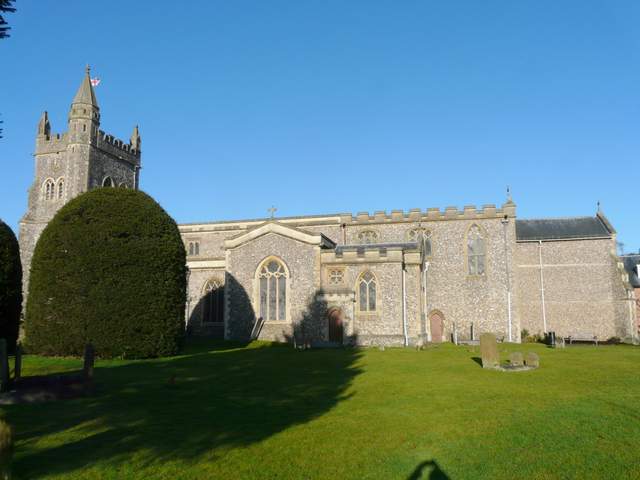
Amersham church
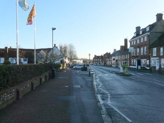
Amersham Old Town
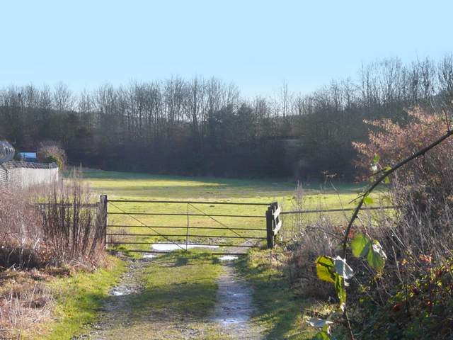
Near the start of the path back out of Amersham Old Town (the bridge under the A413 is hidden in the shadows)
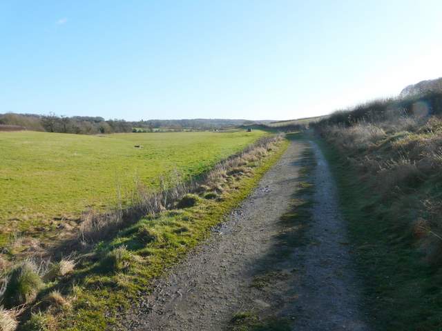
The track south of the A413
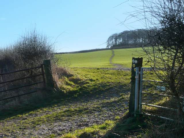
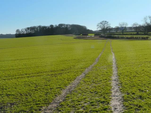
The path up to Rodger's Wood
I was now facing almost straight into the sun, and would be for the next couple of miles. Not only did this mean that I often had to resort to taking photos looking back the way I'd come, there was a lot of glare from the standing water (there was water in almost everyone of the countless footprints in the muddy tracks across the fields) so I stopped almost immediately to switch to my sunglasses. It was a long steady plod, the gradient never being very great but the muddy conditions making it more tiring. If anything the mud was even worse in the second field I passed through on my way to Rodger's Wood, but I got there without too much difficulty. The path just cut through a small corner of the wood, then continued across another ploughed field, possibly the muddiest section yet. It touched a hedge corner on my right, before carrying on across a field that had the first green shoots of an arable crop. The tractor tracks here were less muddy but still squelchy in places.
Looking back from Rodger's Wood to Amersham Old Town
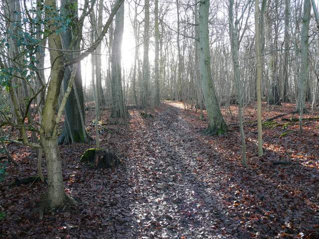
The path through Rodger's Wood
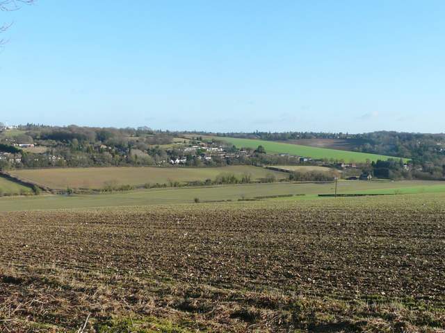
Looking across the Misbourne Valley, where I'd just walked, from the edge of Rodger's Wood
The footpath continuing through the second field after Rodger's Wood
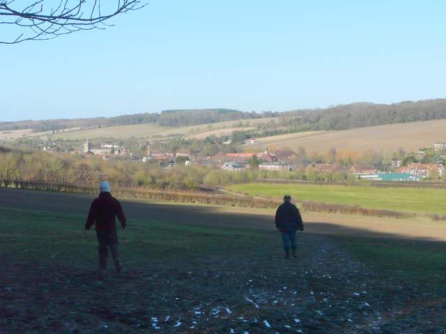
On reaching the far side of the field, the path turned left and followed the hedgerow for several hundred yards towards Day's Wood. A couple of walkers coming the other way wished me a Happy New Year, the first of several times I'd exchange this friendly greeting with people today. The path went through a gate next to a corner of Day's Wood, then followed the edge of the wood (I saw a large bird fly out of the wood and cross the ploughed field on my right, I'm fairly sure it was a Buzzard rather than a Kite). At the next corner of the wood, the path went half-right across the ploughed field - again this was a very muddy stretch. The next field was a large meadow sloping down into a valley, where the path went a few yards right along the hedge then turned left along a fairly new fence. There was a decent set of tractor tracks here, but when the fence turned slightly right I chose to follow it rather than stay on the tracks as I knew from memory that this was the line of the right of way. At the bottom of the hill I passed through the yard of Upper Bottom House Farm. A gentleman here, presumably the farmer, told me he was doing a survey of walkers and wanted to know how often I walked that path. He wanted to see if many walkers would be interested if he opened a tea shop for them here. I said it wouldn't interest me as I seldom stop on my walks, but I thought it was a popular path (it's one of my favourites in this part of the Chilterns) and that other walkers might be interested - I wished him well with the venture, anyway.
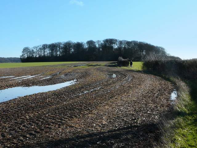
The path continuing towards Day's Wood
Looking back towards Day's Wood (I had to take some photos looking back, as I was facing straight into the sun on this part of the walk)
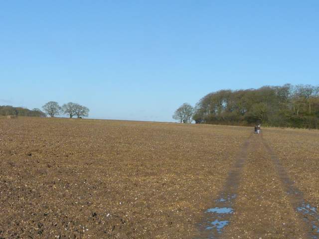
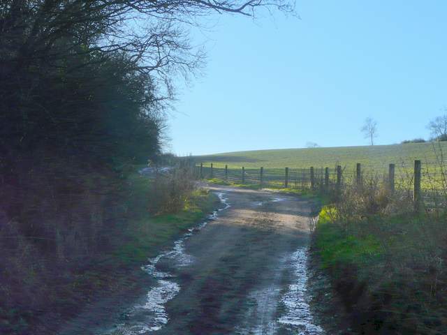
The path down to Upper Bottom House Farm
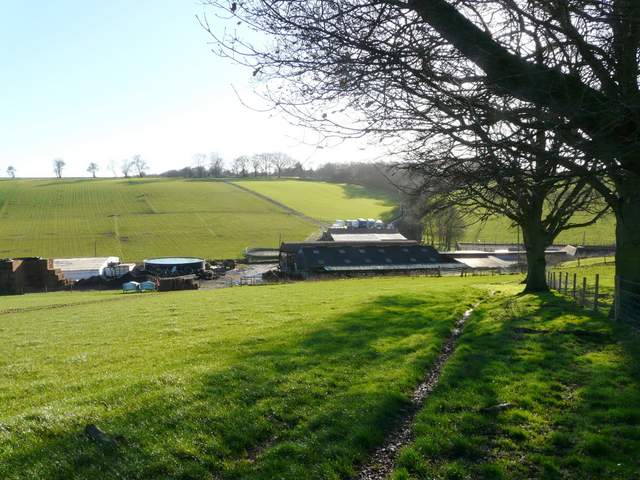
Approaching Upper Bottom House Farm
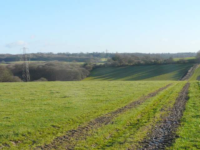
I re-crossed Bottom House Farm Lane (I was at Upper Bottom House Farm, the map shows a Lower Bottom House Farm a little way to the left down the lane) and took a farm track that followed a hedgerow up the opposite slope of the valley. The track was reasonably well surfaced so wasn't too muddy. Some way up the hill it switched to the right of the hedge, then passed a small wood. Beyond a large house on the right at the top of the hill, the track turned left, but I took a path straight on across an empty pasture to reach Botterells Lane with Hodgemoor Woods beyond.
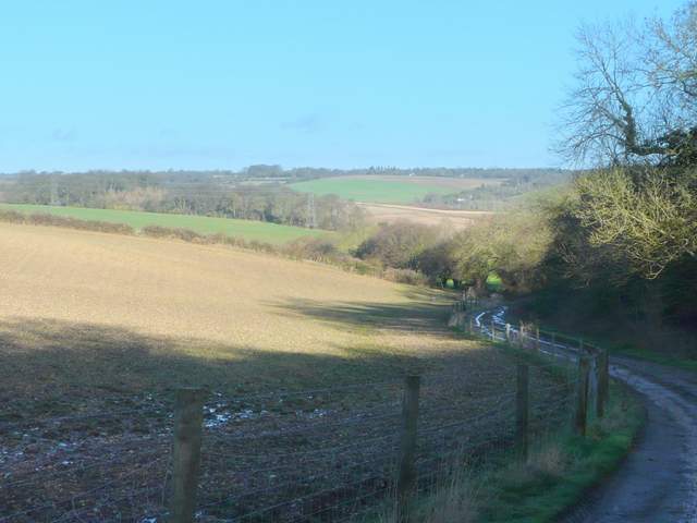
The track going south from Upper Bottom House Farm
Another shot looking back, along the track south of Upper Bottom House Farm