Pete's Walks- Southeast from Cadmore End (page 3 of 4)
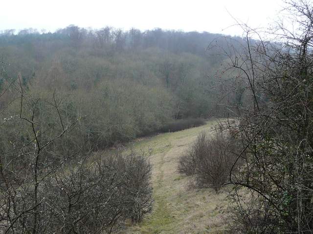
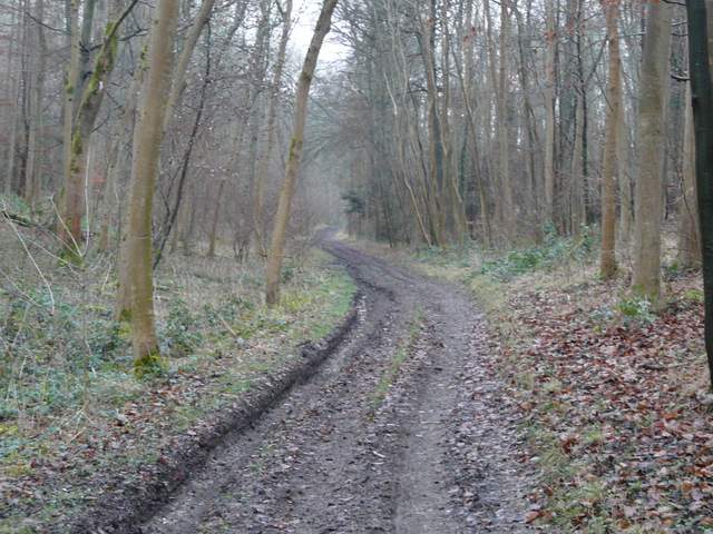
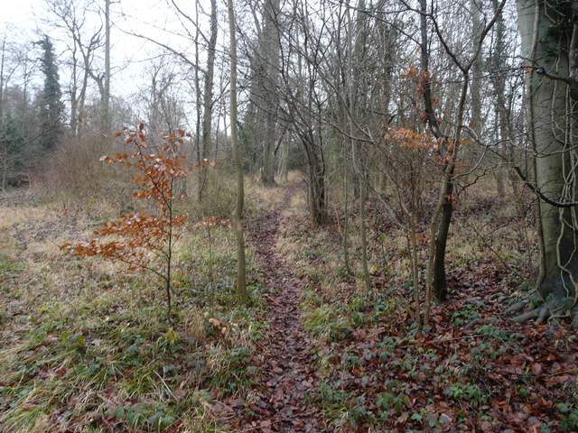
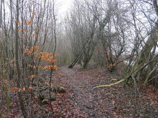
I turned left and followed Frieth Road for about a quarter of a mile, then turned right onto a footpath that followed the ridged concrete drive to Mundaydean Farm as it dropped steeply downhill - I felt sorry for the horse I met carrying its rider up here! At the bottom of the hill I turned left onto Mundaydean Lane. After passing a few residences here the lane ended, but an extremely muddy track continued on along the valley bottom (this is not shown as a right of way on the map, but a fingerpost at the far end indicated that it was). At the end of the track I went a few yards left on a bridleway, then turned right to carry on along the valley bottom. I was now in Shillingridge Wood, but with a field close by on my right. Beyond this field, I had the wood on both sides and the path rose gently uphill. It was now about 1pm and I paused on a log to eat my lunch.
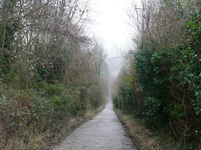
The bridleway down to Mundaydean Bottom
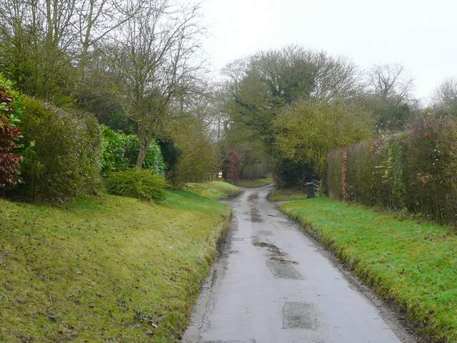
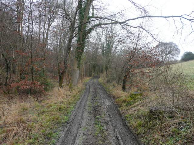
Mundaydean Lane
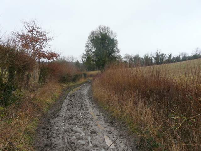
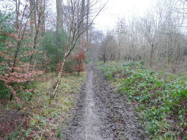
The public right of way continuing from the end of Mundaydean Lane - a bit muddy!
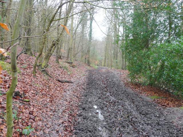
Shillingridge Wood
Shillingridge Wood
At the end of the wood a path continued between a hedge and the wooden fence of a large paddock, close to Bluey's Farm - there was a new permissive bridleway on the other side of the hedge, but I suspected that would be muddier than the footpath. At the end of the path I continued straight on along a bridleway, which initially followed a tall row of conifers. It then went slightly right and gradually climbed uphill, passing a number of Yew trees - the mud and soft earth here made this bit of uphill more tiring than it would normally be. Near the top of the hill a path went left, following the edge of a wood. The path turned left again at the corner of the wood, but soon turned right to contour along near the top of a scrub-covered slope, with Moor Wood on the opposite side of the valley. After a few hundred yards a waymark indicated where the path went half-left to descend across the slope and enter Moor Wood in the valley bottom.
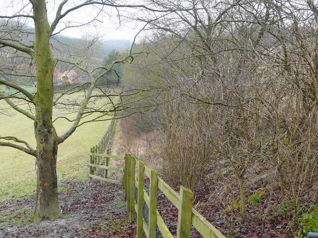
The path near Bluey's Farm (there is a permissive bridleway on the other side of the hedge)
The bridleway going uphill, northeast from Bluey's Farm

The path going north, across the valley from Moor Wood
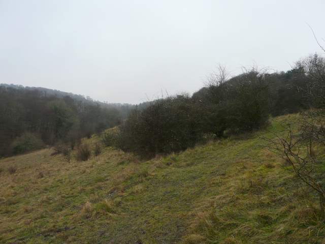
The path going north, across the valley from Moor Wood
The path descending to Moor Wood
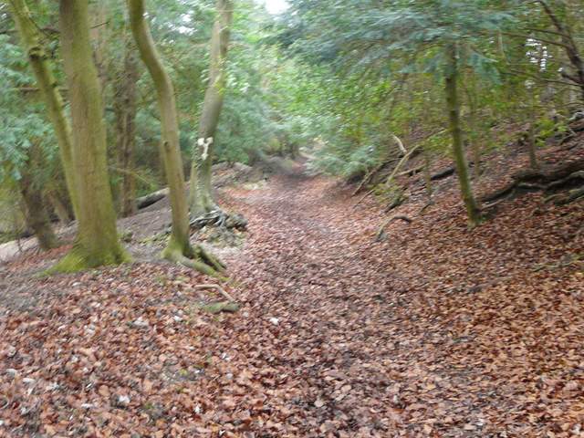
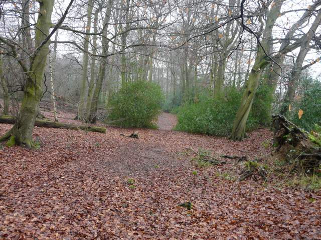
I turned right and followed a bridleway along the valley bottom, soon with Moor Wood on both sides. After several hundred yards I came to a slightly confusing junction, where the bridleway left the track it had been on and started uphill on a narrow path through the trees. This led on to a gate into a large enclosures near a farm, where the path went half-left to a gate in the corner - I passed a few white farmyard geese here. Another new permissive path then went left, avoiding what would be a nasty bit of road walking. This took me to where a path across the road led across a ploughed field to Widdenton Park Wood.
Moor Wood
Moor Wood
Moor Wood
The new permissive path path beside the B482, southeast of Lane End
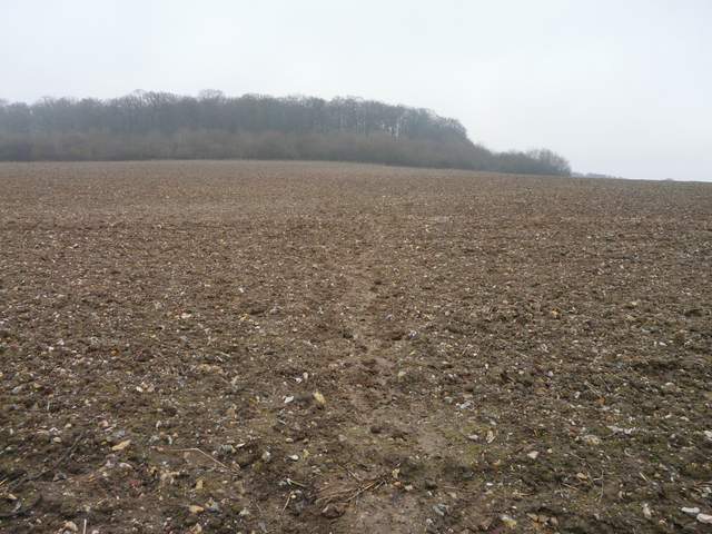
The path from the B482 to Widdenton Park Wood
The path entered the wood, and after a few yards turned right. It stayed close to the edge of the wood on my right, the wood here being mainly Beech trees with a lot of Holly. After a few hundred yards I reached a path crossroads where I turned left, and continued northwards through the wood. After about a quarter of a mile I reached the tall iron fence surrounding a small reservoir.
The path close to the southern edge of Widdenton Park Wood
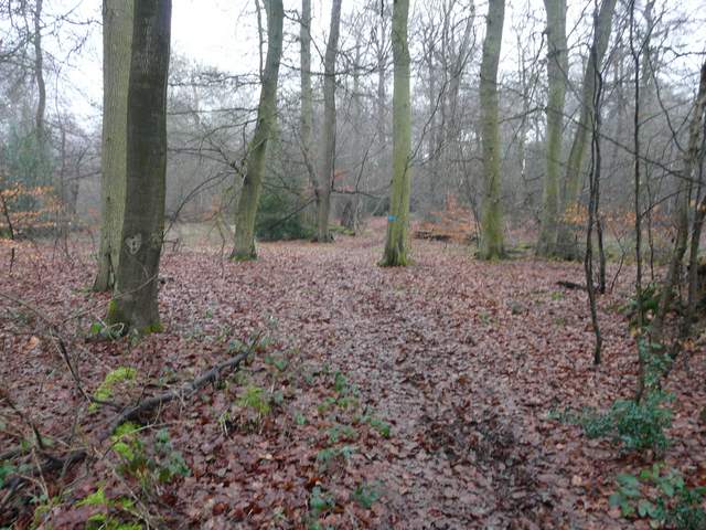
The path going northwest through Widdenton Park Wood
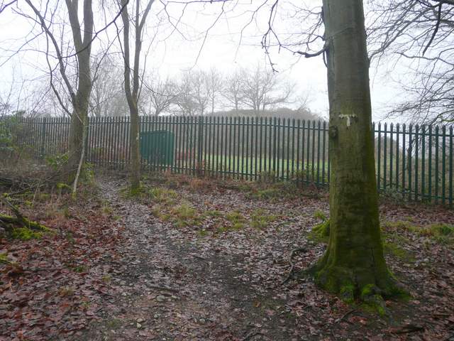
The reservoir in Widdenton Park Wood