Pete's Walks- Southeast from Cadmore End (page 2 of 4)
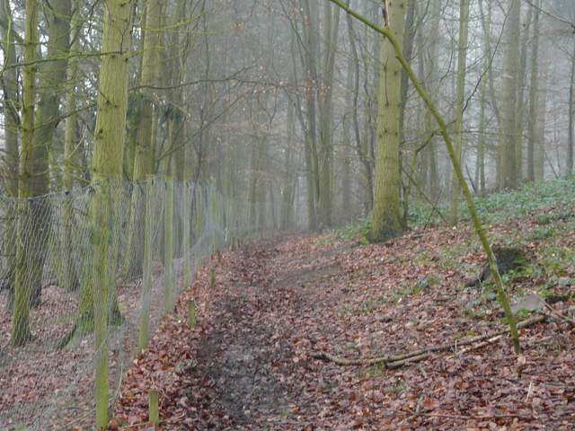
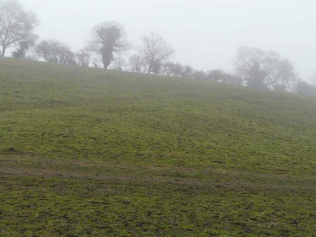
The lane ended at a T-junction. A few yards to the right and across the road, a footpath started, going half-left across a large paddock - a couple of horses took one look at me and ran off! The path then went over a stile into Heath Wood, curving from southeast to south as it progressed through the trees. I was worried about a 'gate' into a wire enclosure here, which had been a bit awkward when I came here - it had to be lifted up and out of the way then, but fortunately had now been replaced by a more orthodox gate. The path followed the wire fence of the enclosure on my left for a while, before leaving the enclosure at another gate. A little further on I turned left at a path crossroads, the new path soon dropping downhill into a valley - the hillside a short distance to my left was covered by a fairly new plantation.
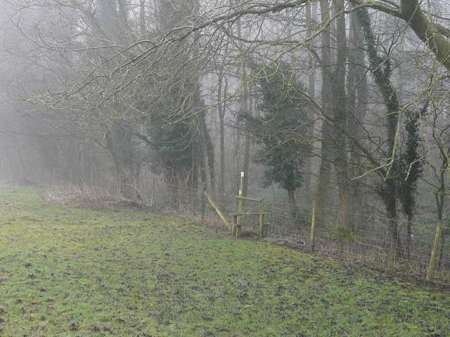
Approaching Heath Wood
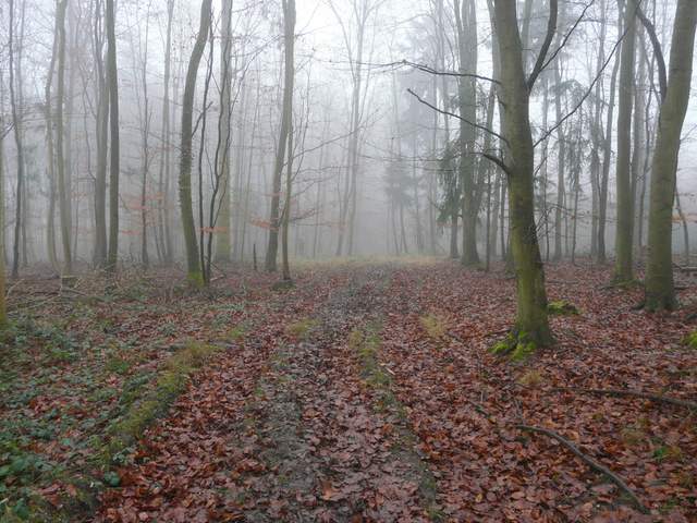
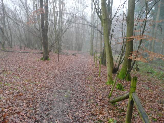
The path going south in Heath Wood
The path going south in Heath Wood
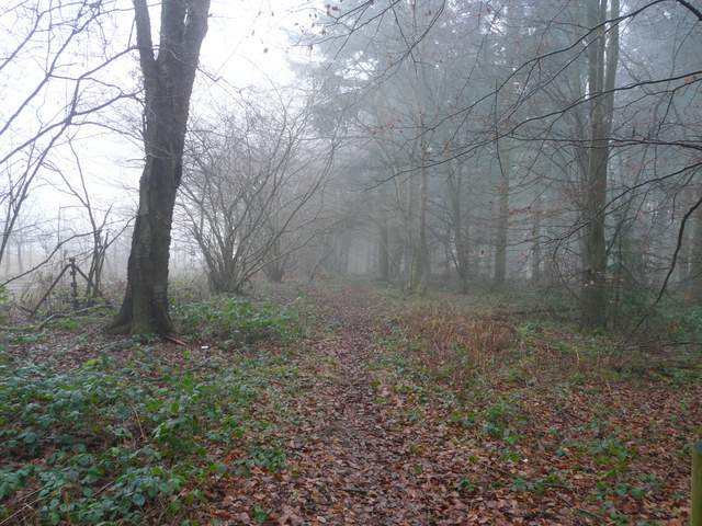
The path going northeast in Heath Wood
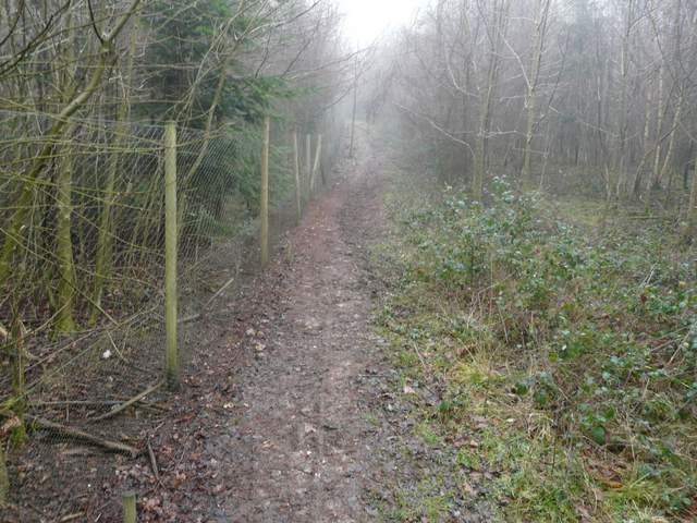
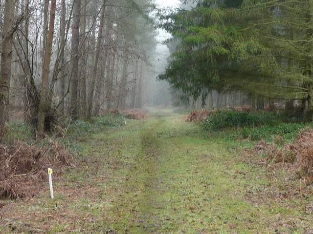
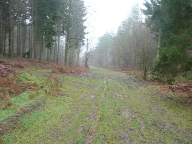
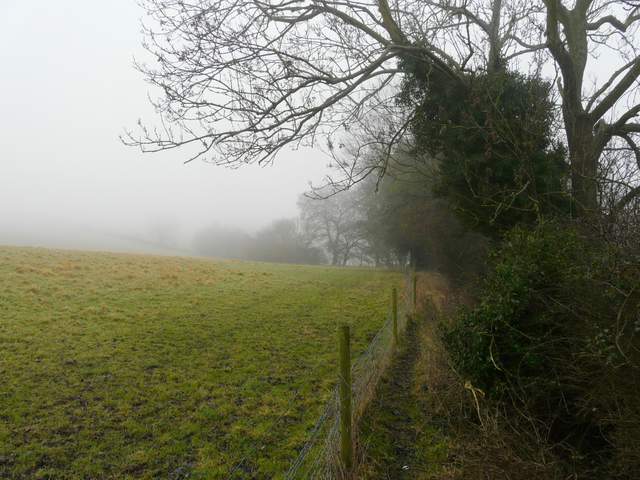
At the bottom of the valley I turned right, again with a wire fence to my left. After a few hundred yards this ended and the path soon continued as a broad track along the valley bottom with the trees of the wood rising up on either side. As the track curved left, more eastwards, I passed a junction where the Chiltern Way climbed the hillside on my right. The track was muddy in places, as were so many other paths today. I ignored one crossing path, then a little further on (and now in Homefield Wood), I turned left along a broad track at the next path crossroads (although this wasn't too well signposted).
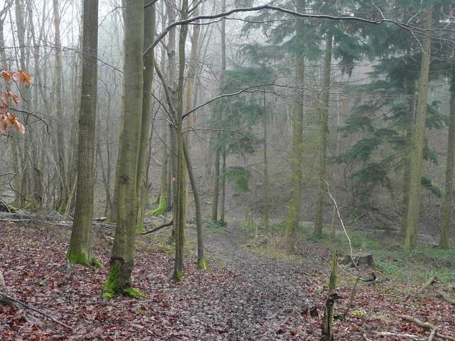
The next path going south in Heath Wood
The path going south in Heath Wood
The same path now going east from Heath Wood to Homefield Wood
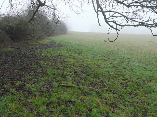
The track led quite steeply uphill between the trees. I initially missed a junction where the right of way took a narrower path through the trees on the right (following a fence on the right, initially). Further on, at the top of the hill, the path passed close to a large wooden hut. It continued northwards through the wood, eventually going down and up a small dip before leaving the wood. I then followed a hedgerow on my right with a ploughed field disappearing into the fog on my left.. When the hedge turned right the path continued across a section of the field, aiming just right of a house - I unwittingly startled about a dozen more Fallow Deer in the field corner over to my right here.
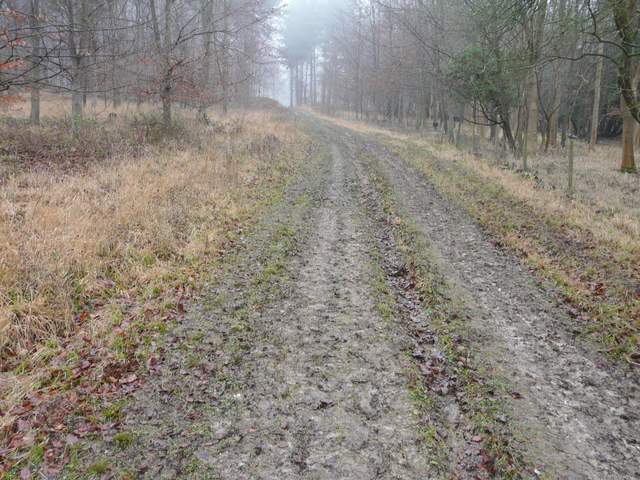
The path going north in Homefield Wood
The path going north in Homefield Wood
The path going north in Homefield Wood

The path continuing east from Homefield Wood
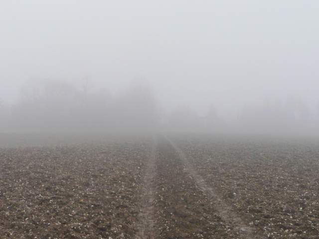
Beyond the house, named Arbon on the OS map, I crossed a lane and continued along tractor tracks across a large ploughed field - my boots were caked in mud when I reached the other side by some cottages, one named Lower Woodend on the map. I followed the lane here to the left, and it soon dropped downhill beside a wood on the left. At the bottom of the slope I went over a stile on the right and went half right uphill through a large field (there were about twenty horses feeding on hay away to my right). At the top of the hill I went over another stile, the path continuing between a fence and a tall mature hedge on the right. This led to another large empty pasture, where I turned left and followed a hedgerow quite steeply uphill to reach a residential area along Frieth Road.
The path from Arbon to Lower Woodend
The lane going north
The path rising up across the large Horse field
The path continuing southeast
The path rising uphill to Frieth Road
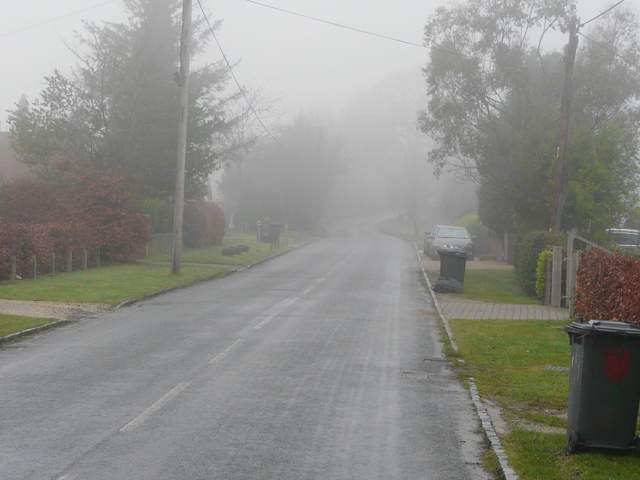
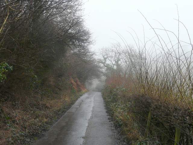
Frieth Road