Pete's Walks- Southeast from Cadmore End (page 1 of 4)
If you are considering walking this route yourself, please see my disclaimer. You may also like to see these notes about the maps and GPX files.
Google map of the walkDownload GPX file of the walk
I did this roughly 13.8 mile circular walk on Sunday, 6th January 2013. It was a repeat of a walk I did in November 2011, done in the opposite direction (anti-clockwise).
Note: Unfortunately the weather started very foggy and only gradually improved to misty, so all the photos are pretty dismal throughout this report! I have since repeated the walk on a nicer day in August 2016.
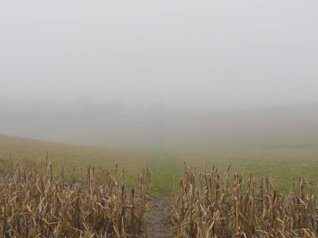
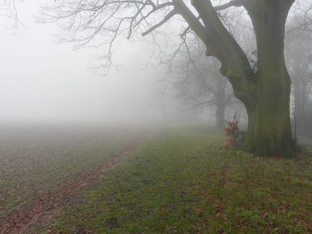
I parked in the small roadside car park beside the common, opposite Cadmore End school. It was about 10.05am as I started walking, following the lane or minor road beside the common and following it past the village church on my left, and continuing along the roughly surfaced land as it curved left past several village cottages and soon led back to the main road through the village. I followed the road to the right for a few hundred yards, then turned right on a path that started along the drive to Rackley's Farm. Beyond a stile and cattle grid the path went half-right across an area of long grass, passing between two small ponds. The path continued between a high mature hedge and a wire fence separating me from an empty pasture on my left., before entering another larger pasture which sloped steeply downhill. The path followed the hedgerow for a hundred yards or so, before another stile or gate led into a short section of woodland. Further down the slope the path re-emerged into the same pasture, for another hundred yards or so. The next field had a strip of maize and then was shortish grass, the path continuing gently downhill for a considerable distance. There should have been a nice view towards Fingest from here, but it was completely lost in the fog.
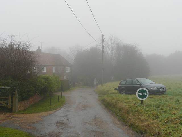
Cadmore End
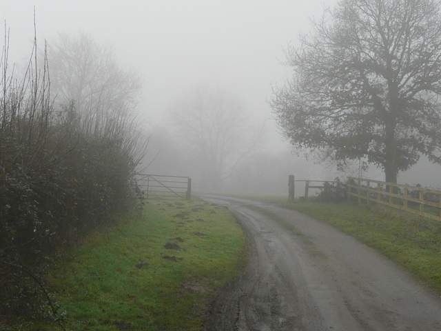
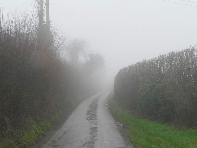
The drive to Rackley's Farm
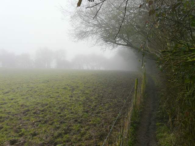
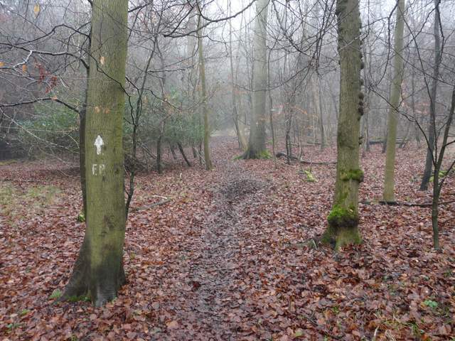
The path south from Rackley's Farm
The path south from Rackley's Farm
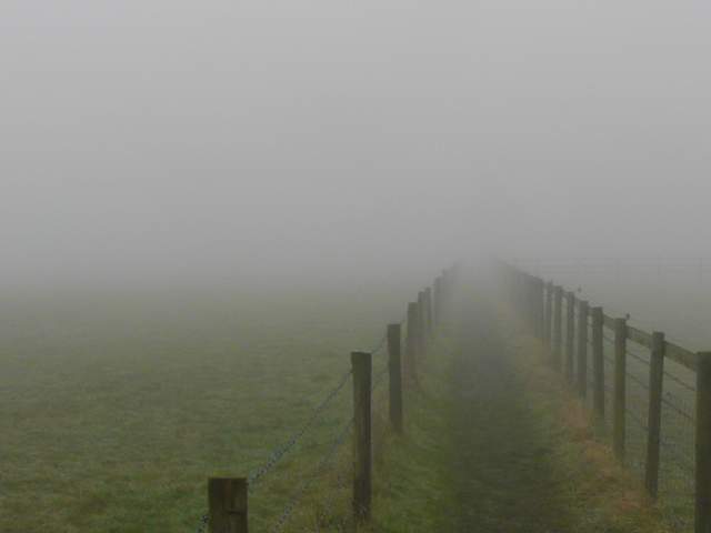
The path continuing southwest
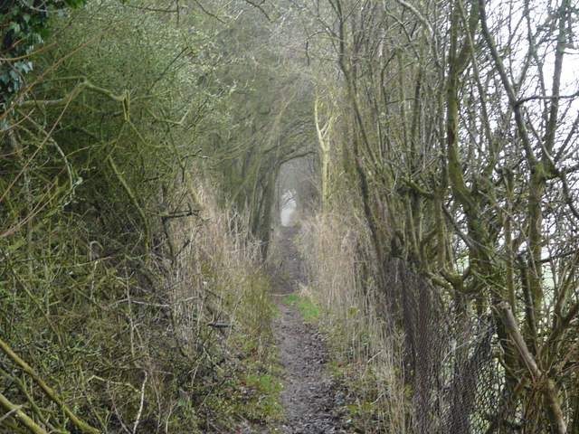
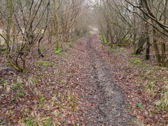
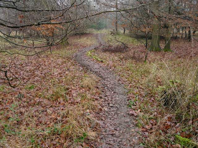
On reaching a distant hedge corner, I went a few yards left to a field corner. A new permissive path led on between hedges next to Fingest Lane on my left. It ended close to a lane junction where I went half-left - there was a wide verge on the right of the lane, with some tractor tracks. Where the lane or minor road turned left, a bridleway on the right started south through Moussells Wood, soon climbing fairly steadily uphill. I kept left at a fork (a sign here might have been helpful) and a little further on I spotted a Fallow Deer - when it decided to run off, it was followed by another eight more. Near the top of the slope I went straight on at a path crossroads. A few yards further on the bridleway left the wood, close to the top of the hill, and continued between fences with paddocks either side. After a few hundred yards it emerged at a lane corner in Little Frieth.
The new permissive path next to Fingest Lane
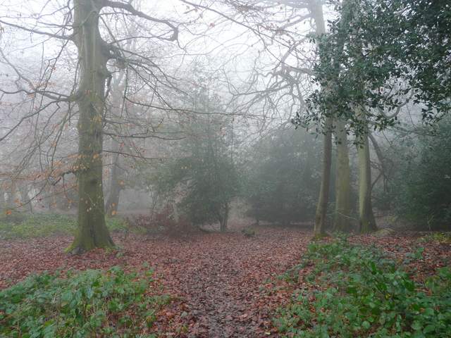
The bridleway climbing up through Moussells Wood
The bridleway climbing up through Moussells Wood
The bridleway climbing up through Moussells Wood
The path from Moussells Wood to Little Frieth
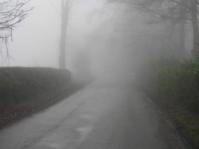
I continued along the lane going off ahead of me (Innings Road) and followed it through the fog for about a third of a mile to reach Frieth. Here I turned left for a hundred yards or so, before taking a short street on the right. A path continued southwards from its end, running between fences with paddocks either side - not that I could really see anything in the fog! I passed some farm buildings on my left, then the path continued by a line of trees on the left of a lane. When the path ended I joined the lane, soon passing the entrance to St Katherine's Convent at Parmoor on my right.
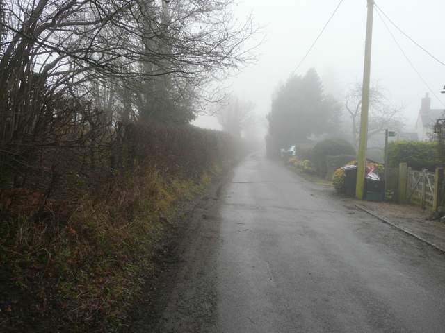
The lane from Little Frieth to Frieth
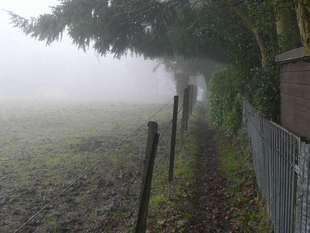
The path going south from Frieth to join the lane to Parmoor and Rockwell End
The path beside the lane to Parmoor
The lane near St Katherine's Convent, Parmoor
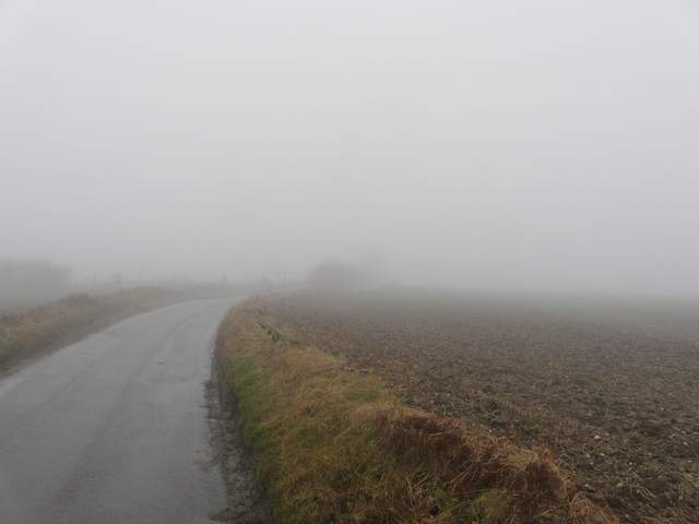
I continued along the lane, soon reaching the hamlet of Pheasants where I usually take a path on the right that goes down to Pheasants Hill in the Hambleden Valley. But today I stayed on the lane, following it towards the next hamlet of Rockwell End. A couple of walkers coming the other way joked 'Nice views today!' as we passed in the fog. I kept left at a couple of lane junctions as I passed through Rockwell End and after a few hundred yards finally reached the end of what had been, for me, an unusually long road walk.
The lane between Pheasants and Rockwell End
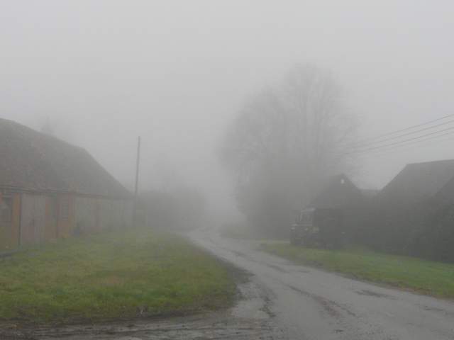
Rockwell End
The lane southeast of Rockwell End