Pete's Walks- Southeast from Cadmore End (page 1 of 6)
If you are considering walking this route yourself, please see my disclaimer. You may also like to see these notes about the maps and GPX files.
I did this walk of about 13.8 miles on Sunday, 21st August, 2016. It was a repeat of a walk I did in January 2013 - that turned out to be a very foggy day, so I've always intended to do it again and get some better photographs. I first walked the route in the opposite direction, back in November 2011.
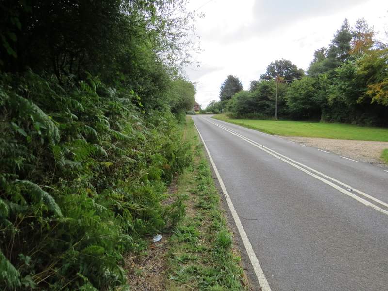
I started walking about 9.45am, having parked beside Church Road in Cadmore End (Grid Reference SU 783927 - there is also a car park marked on the map, just past the school on the main road). I walked along Church Road, heading away from the main road through the village, and soon passed the church on my left. I stayed with the roughly surfaced road as it bore left here, and followed it through the village until it brought me back to the main road. Here I turned right and followed the road for maybe a quarter of a mile, before taking the drive to Rackley's Farm on my right. The path here almost immediately crossed some grass on the right, going past a pond. Beyond some bushes the path continued between the wire fence of a pasture on my left and a hedgerow. I then went over a stile into a much larger pasture that slope downhill. I stayed close to the hedge on my right and soon reached another stile, beyond which the path continued downhill just inside a wood. I then went over another stile, and crossed a corner of the same large pasture, now almost at the bottom of the slope - there were a few cattle in a corner up to my left here. The path then continued very slightly downhill as it crossed a very large field that had recently been mown, to reach a prominent tree at the corner of a distant hedgerow.
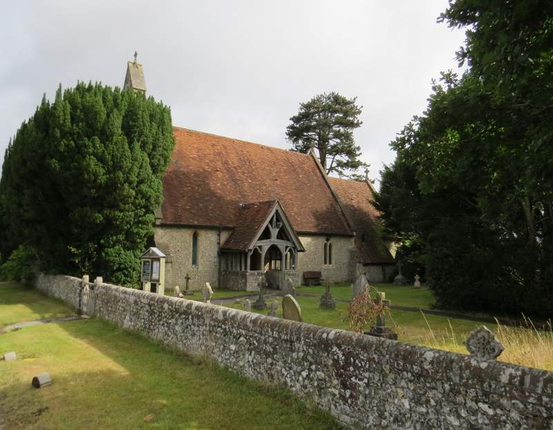
Cadmore End church
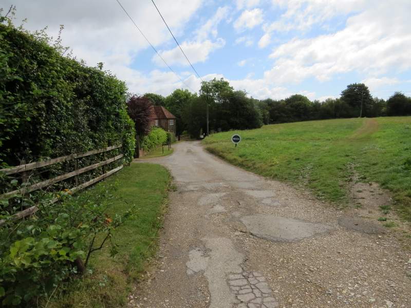
The lane through Cadmore End
The road through Cadmore End
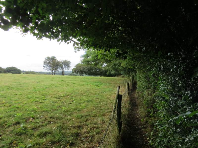
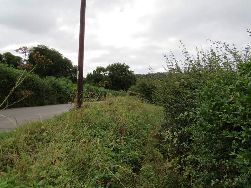
The footpath from Rackley's Farm
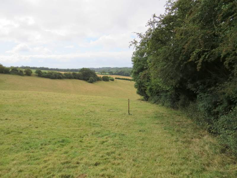
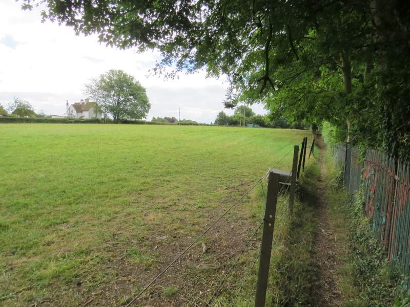
The footpath from Rackley's Farm - it follows the edge of this large cattle pasture for a short distance
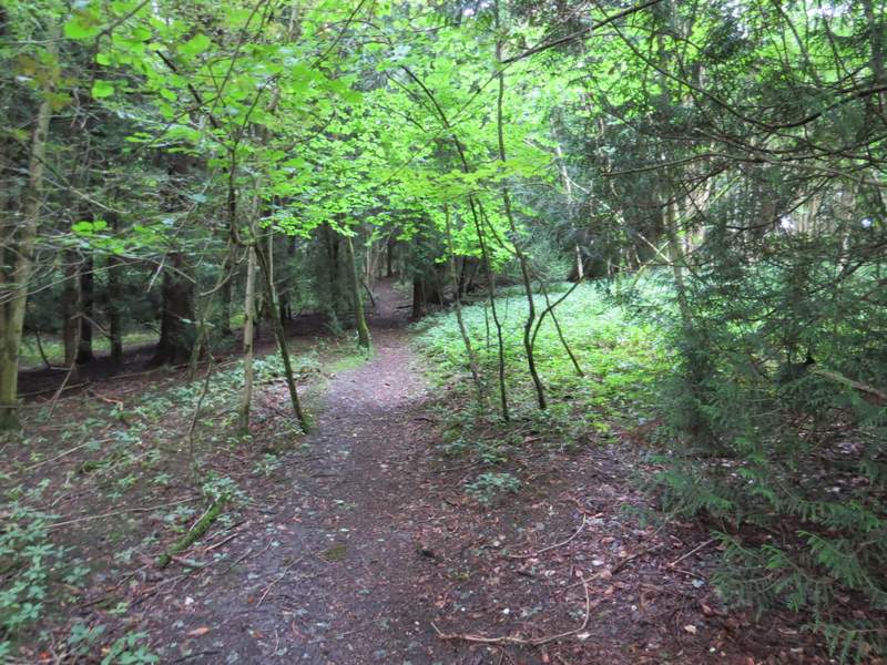
... then continues downhill just inside a wood ...
... before re-emerging into the same pasture as before, near the bottom of the slope
The footpath from Rackley's Farm - I turned left where the path meets the tree in the hedge
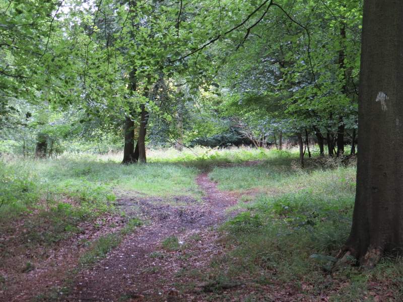
When I reached the tree I turned left, and left the field in the corner a few yards away. I then followed a permissive path that ran to the right of a lane. When I reached a lane junction, I turned left. Almost as soon as Moussells Wood started on my right, I took a footpath that entered the wood and soon started climbing uphill (I kept left at an apparent fork near the bottom of the slope). It wasn't too steep, and I soon reached a path crossroads near the top of the slope. I went straight on here, soon leaving the wood and following the now level path between fences to reach a lane in Little Frieth. I turned right here, but the lane immediately turned left so I was almost going straight on. I followed the lane all the way to where it ended in Frieth.
The permissive path beside the lane
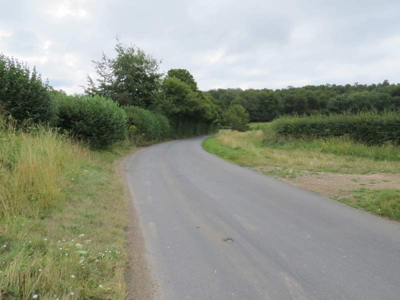
The short lane section after I turned left at a junction
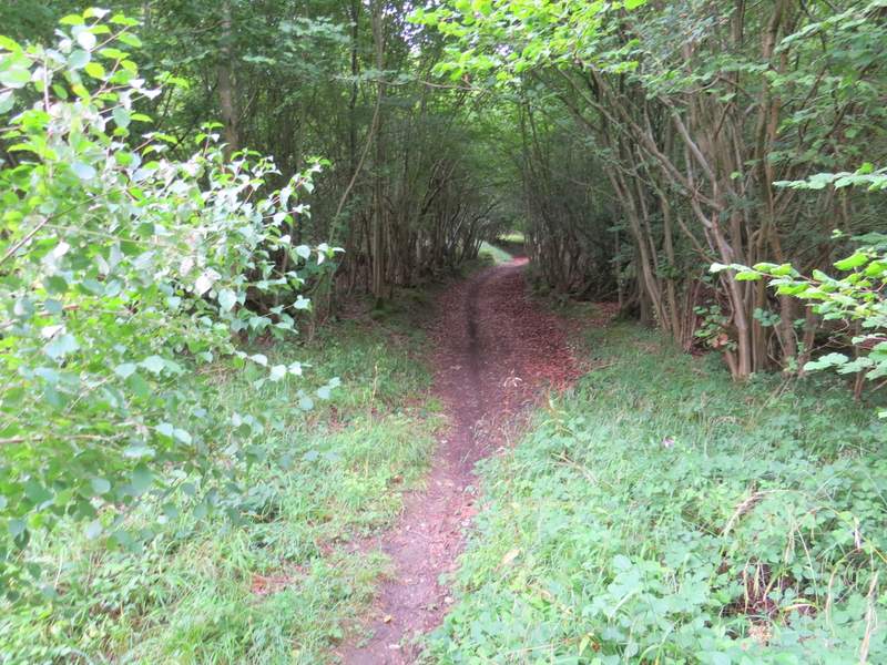
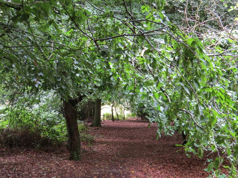
The start of the path uphill through Moussells Wood
The path uphill through Moussells Wood
The path uphill through Moussells Wood
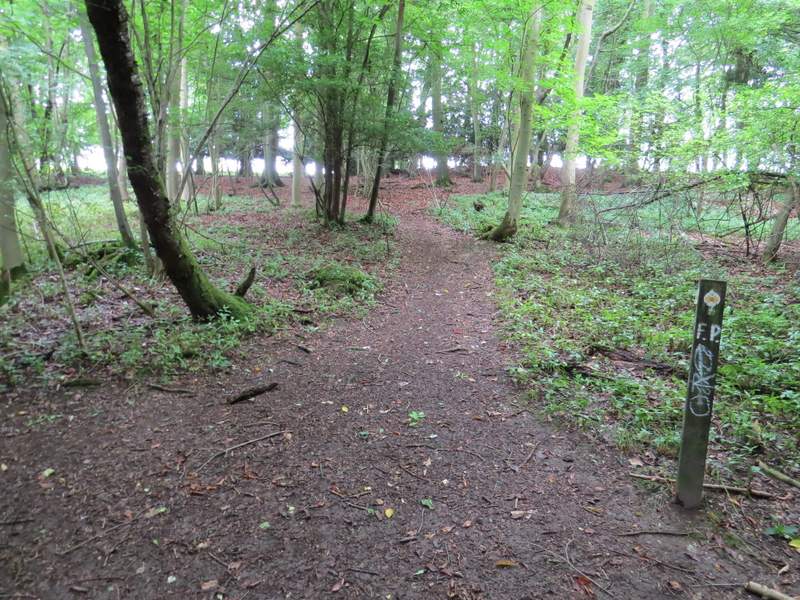
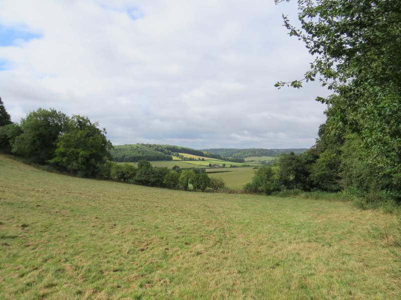
The path uphill through Moussells Wood, from where it crosses another path near the top of the hill
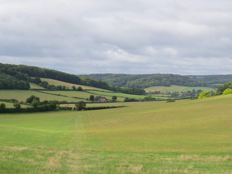
The path continuing from Moussells Wood into Little Frieth
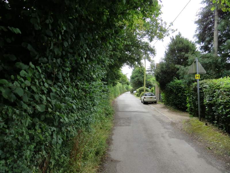
The lane from Little Frieth to Frieth