Pete's Walks- Southeast from Cadmore End (page 2 of 6)
If you are considering walking this route yourself, please see my disclaimer. You may also like to see these notes about the maps and GPX files.
I turned left for a very short distance, then turned right into a short street called Hayles Field. At its end, a path continued between the fences of some paddocks or enclosures. The path then went along the edge of a farmyard, and then a few yards further on started to run along to the left of a lane, heading for the hamlet of Parmoor. After two or three hundred yards the path ended, and I continued along the lane. I soon passed St Katherine's, Parmoor, on my right (I'd always assumed it was a convent, but it is now a "superb venue for retreats, seminars, celebrations and accommodation in a tranquil rural setting". Further on the lane passed through the hamlet of Parmoor and then the next tiny hamlet, Pheasants.
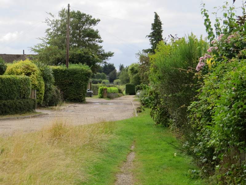
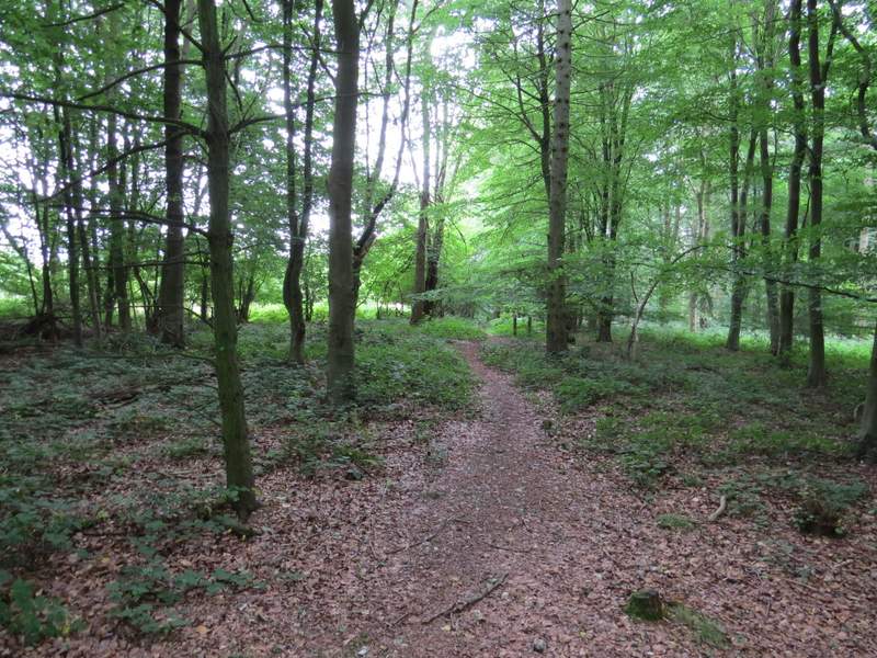
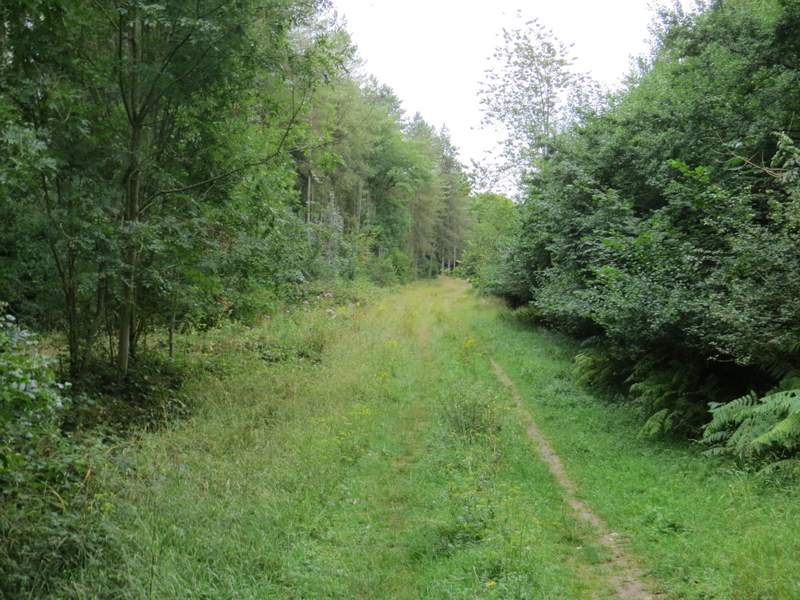
The start of the path from Frieth to Parmoor
The path from Frieth to Parmoor
The path from Frieth to Parmoor
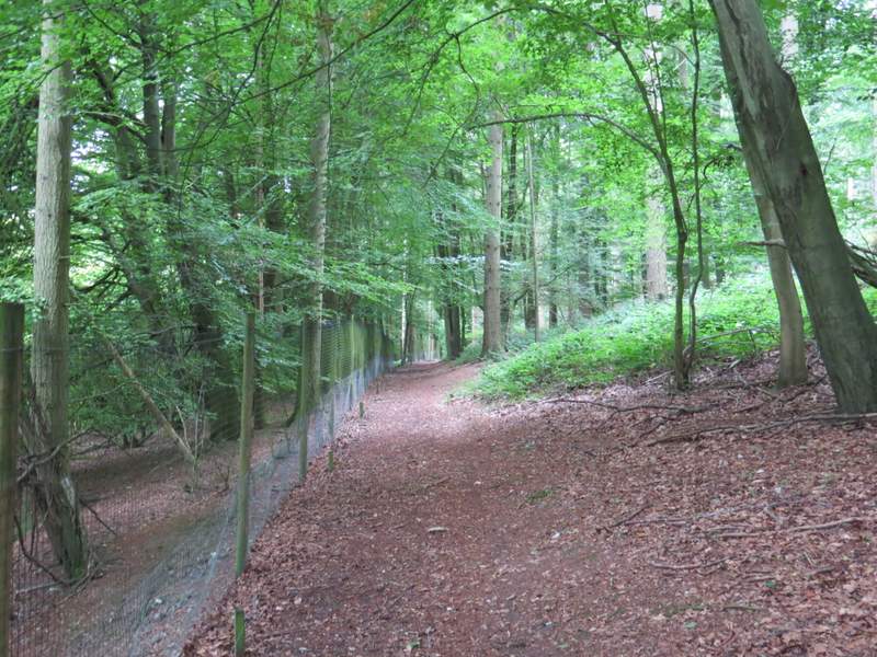
The lane approaching St Katherine's, Parmoor
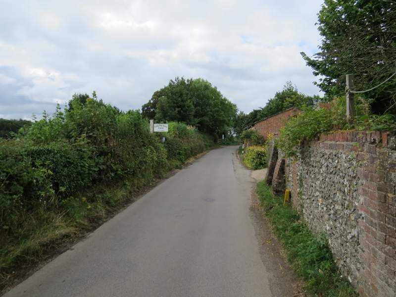
The lane continuing pats Little Parmoor Farm
I went straight when a lane went right, and soon after spotted some Tansy growing beside the lane (I've seen it in Cambridgeshire, but this may be the first time I've seen it in the Chilterns). I continued along the lane - the hedges were now lower or non-existent, so the views were better here (last time, when I was here in thick fog, a walker coming the other way joked about the "Nice views today!"). Eventually I reached a lane junction at Rockwell End, where I took the lane continuing ahead in the same direction.
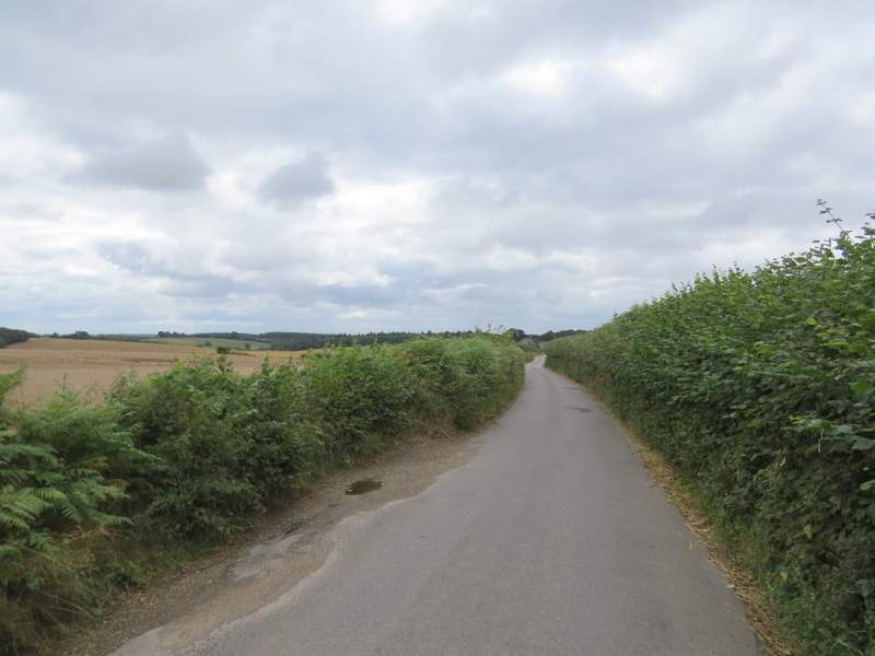
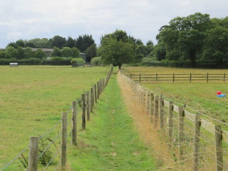
The lane continuing between Little Parmoor and Rockwell End
The lane continuing between Little Parmoor and Rockwell End
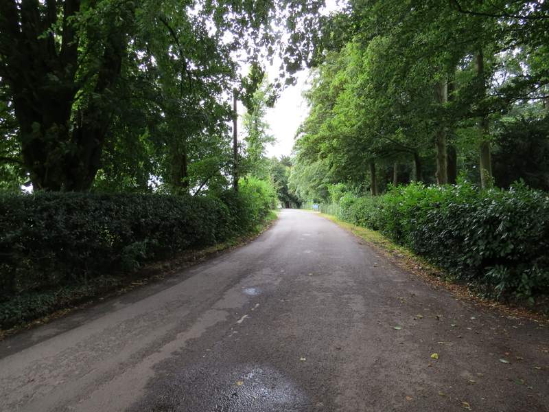
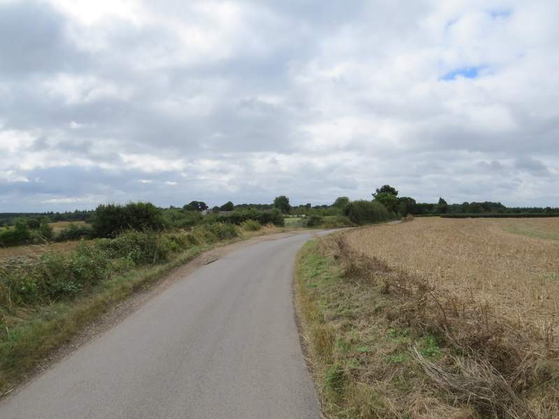
The lane as it leaves Rockwell End
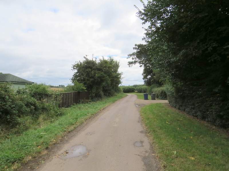
When I reached the end of the lane at a T-junction, I turned right for a few yards and then took a footpath on my left. This crossed an old paddock, bearing half-left after passing the end of a garden. The path then entered Heath Wood, and I started a section of almost two miles through this and the adjoining Homefield Wood. The path went roughly southwards at first, going through a gate in a tall wire fence at one point and running with the fence on the left for a while. Shortly after crossing a drive or farm track, I turned left (this junction didn't seem to be marked, but there was a waymark on a post a little way down the path I took). This path dropped steadily downhill through the wood, with a track or drive a little way to my left.
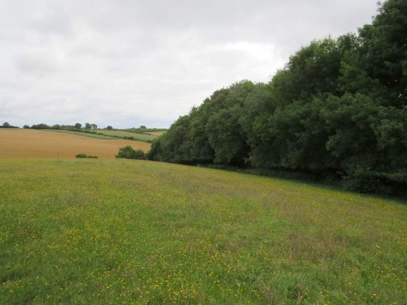
The old paddock (it now looks like a meadow, but it used to have horses in it) before Heath Wood
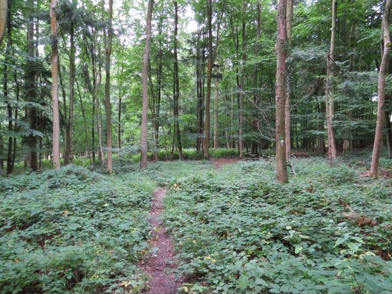
The path through Heath Wood
The path through Heath Wood
The path through Heath Wood
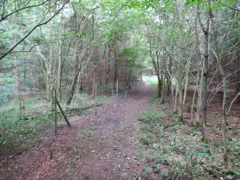
The path through Heath Wood after I turned left
Near the bottom of the slope I turned right at a path junction, soon following another fence on my left. After some distance the path went through a bit of bracken and emerged at the end of a track, which I continued to follow along the valley bottom, with the wood sloping uphill on either side. The track gradually turned left as it followed the valley - somewhere along here I spotted a very faded Silver-washed Fritillary. I missed seeing a junction where the Chiltern Way goes right, but did notice where a faint footpath crossed the track.
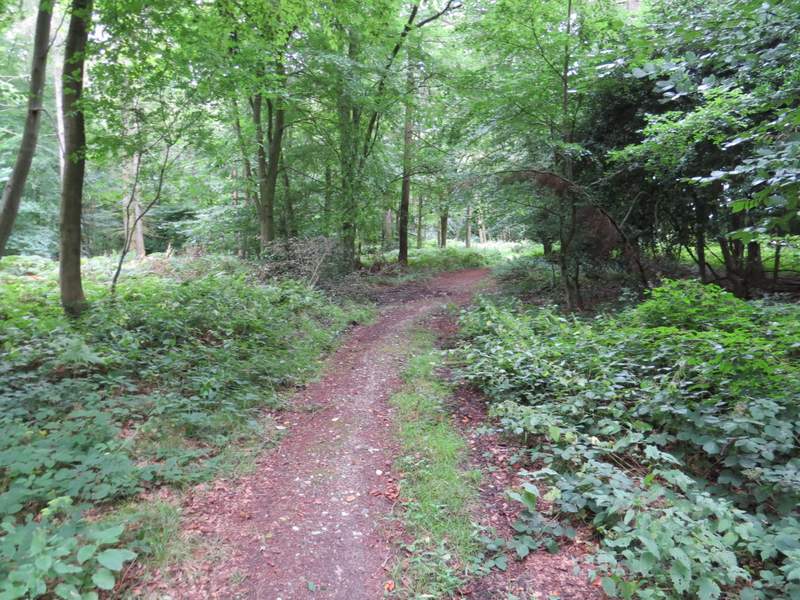
The path through Heath Wood after I turned right
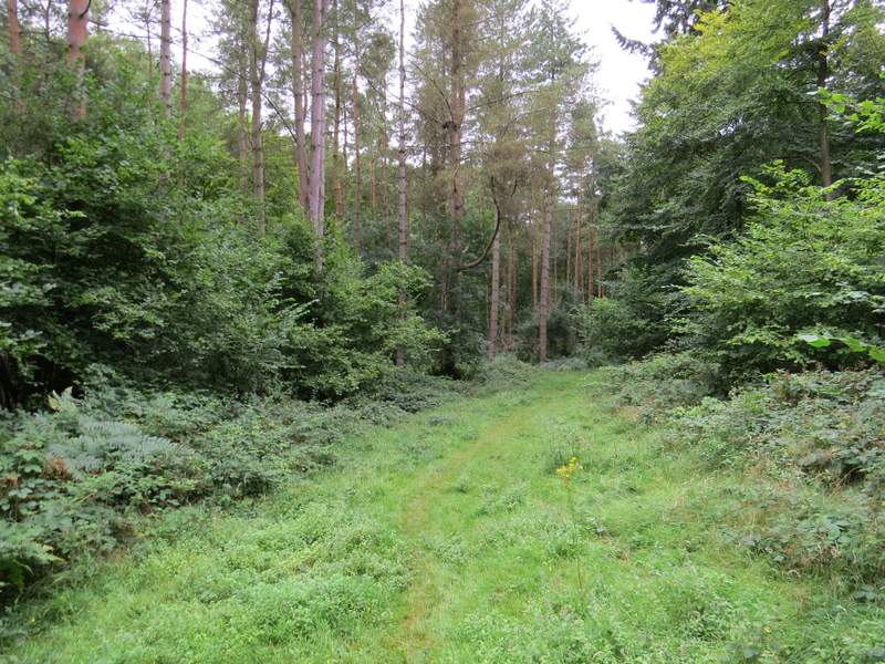
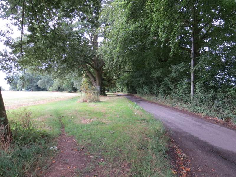
The start of the track along the valley bottom
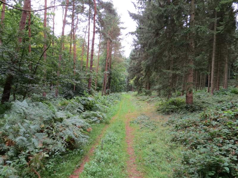
The track along the valley bottom
The track along the valley bottom
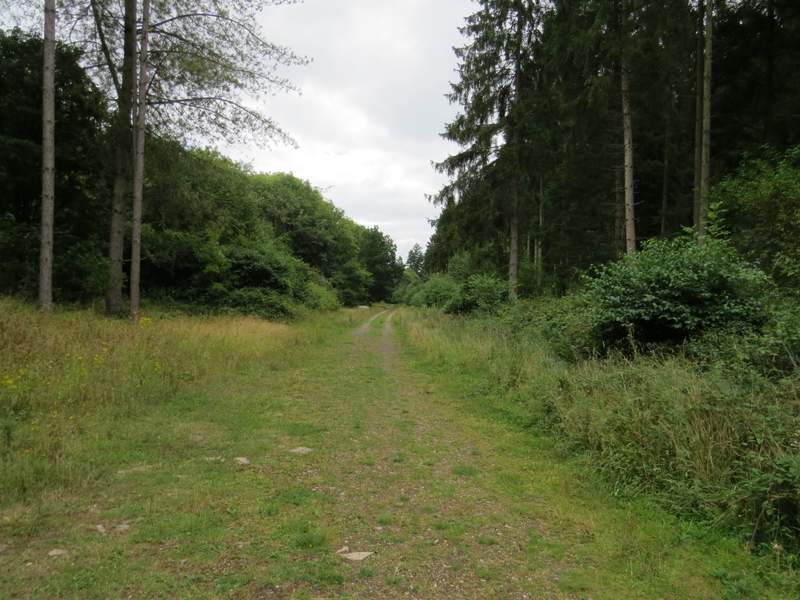
The track along the valley bottom, probably now in Homefield Wood