Pete's Walks- Southeast from Cadmore End (page 3 of 6)
If you are considering walking this route yourself, please see my disclaimer. You may also like to see these notes about the maps and GPX files.
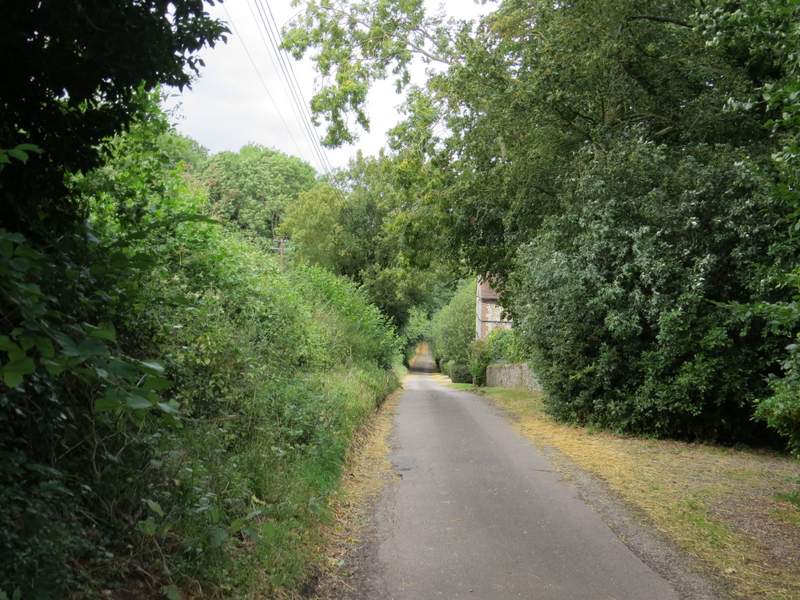
After following the track along the valley bottom for about half a mile, I took a path on the left, going along a clear grassy track between the trees (the junction did not seem to be marked at all). There was a wire fence on the right, and fortunately I spotted a white arrow on one of the fence posts indicating where the path left the track and went half-right (still following the fence, initially). Further on the path bore slightly left, away from the fence and through a patch of tall bracken. It then crossed a track and continued northwards through the wood. Eventually it dropped down into a slight valley and then briefly rose steeply up the other side, before finally leaving the wood.
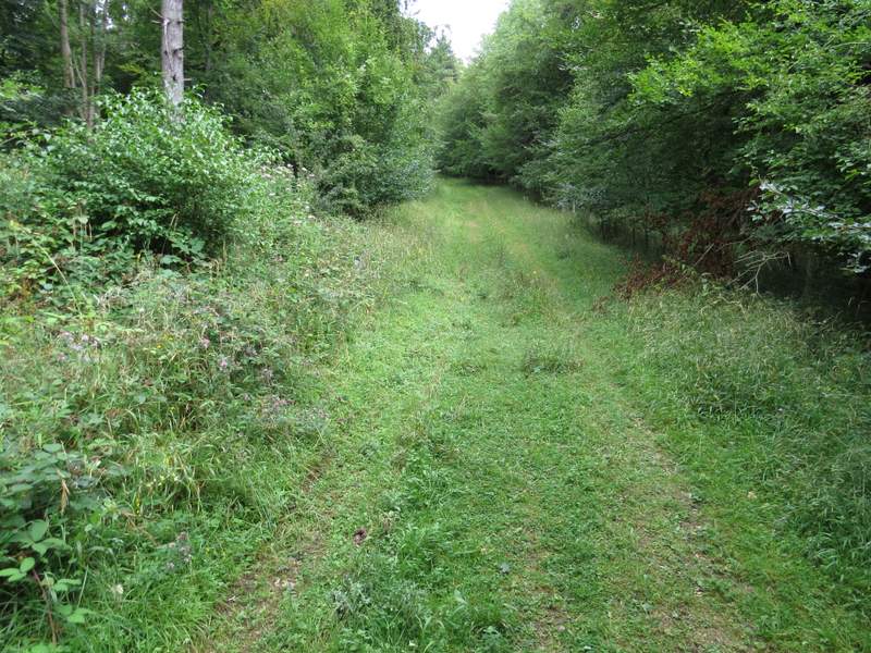
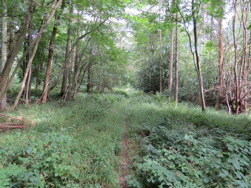
The start of the path through Homefield Wood, after I turned left (this looks flat, but its actually uphill!)
Further along the path, after I turned half-right from the track
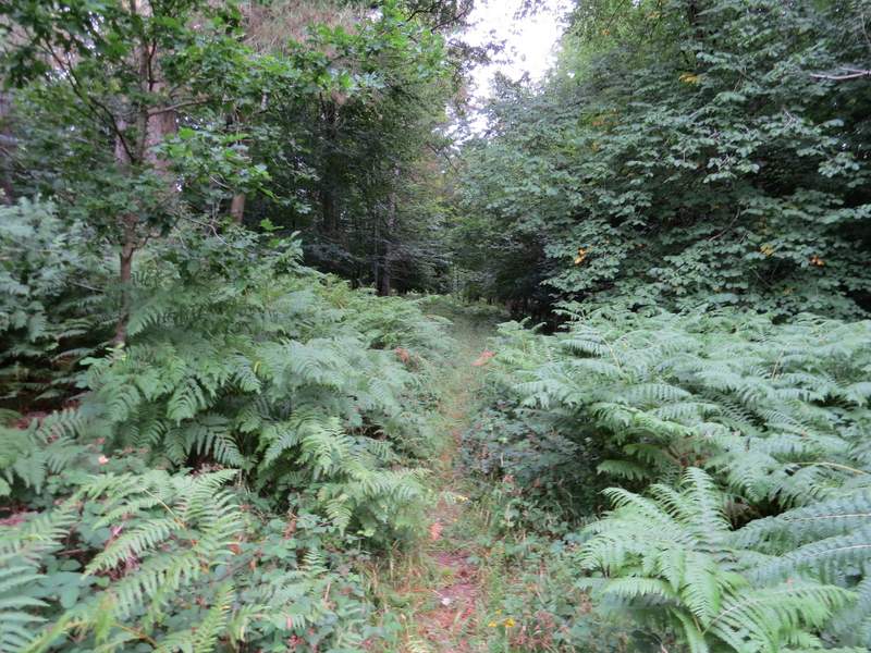
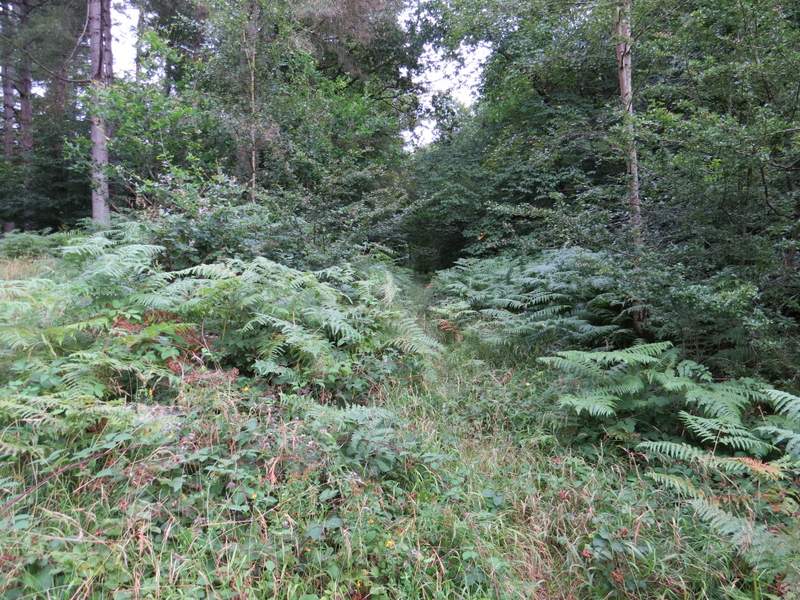
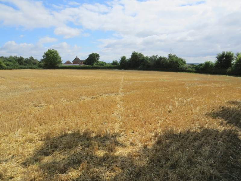
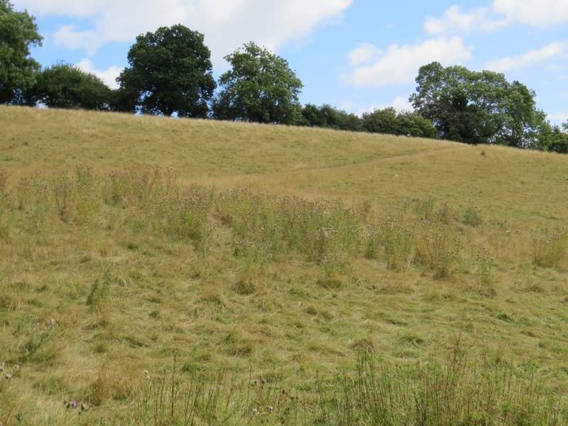
The path continuing north through Homefield Wood
The path continuing north through Homefield Wood
The path continuing north through Homefield Wood
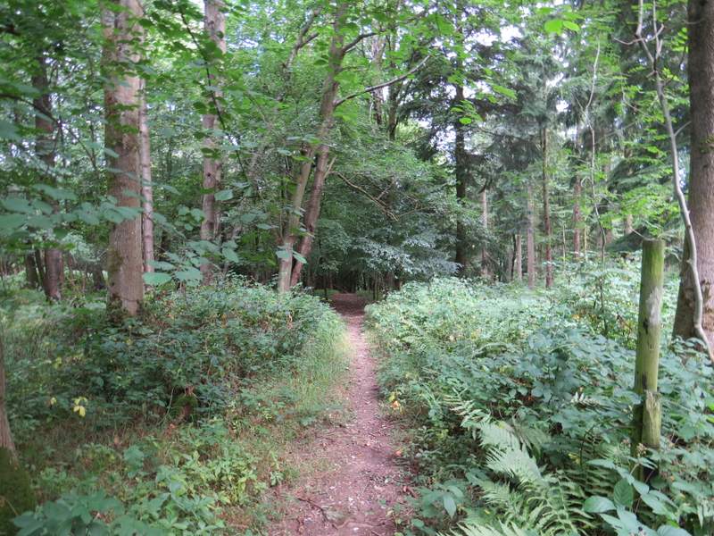
The path continuing north through Homefield Wood
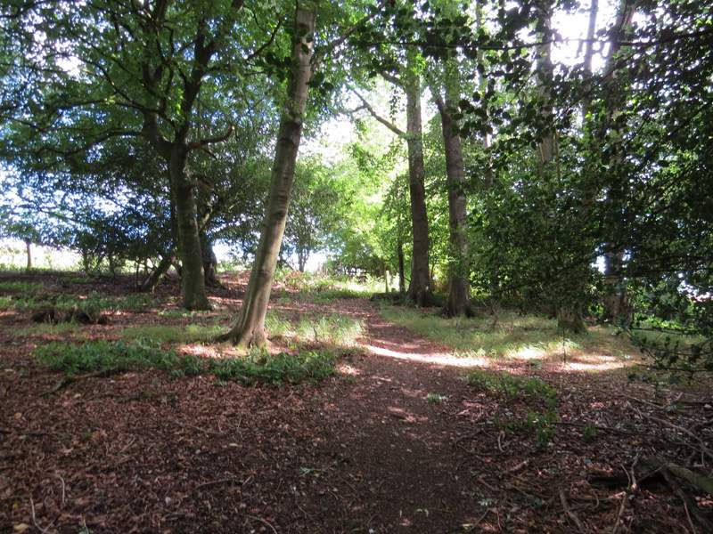
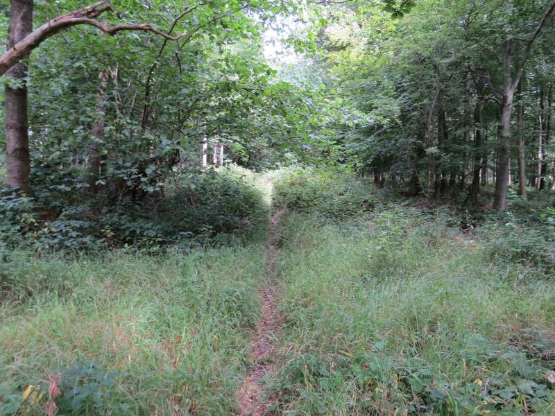
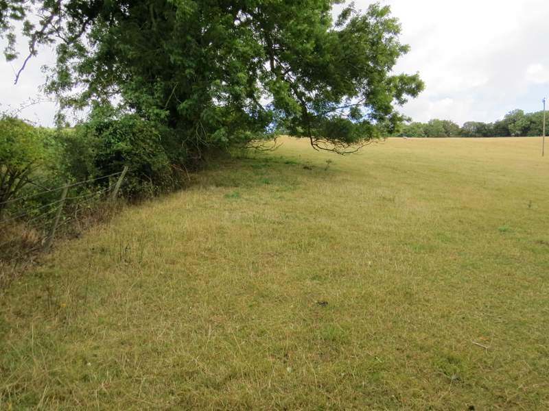
The path just before it leaves Homefield Wood
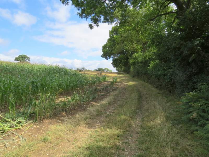
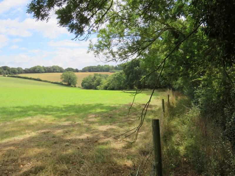
The path then continued beside a tall hedge on the right, past a field of maize and into a field that was now stubble. When the hedge turned right, the path went half-right across a corner of the field, then went past a garden on the left to reach a lane. Across this, a path crossed a ploughed field, bearing slightly right. There were some nice views here - to my right, I could see a long way across the Thames Valley towards Berkshire, while ahead and slightly left I could see part of my route that I would soon reach, approaching Frieth Road.
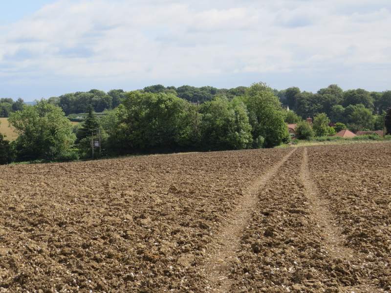
The path continuing northeast from Homefield Wood
The path continuing northeast from Homefield Wood, approaching the house name Arbor on the OS map
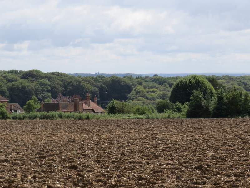
The path across the ploughed field
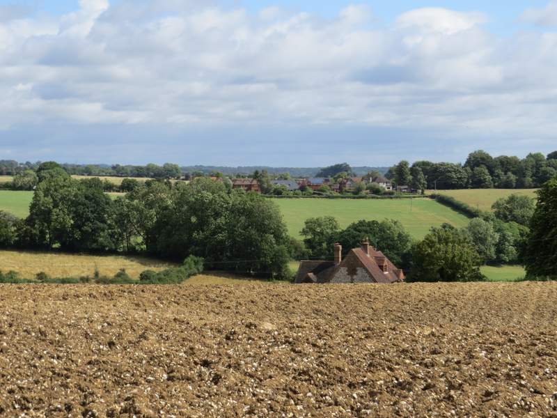
Looking ahead and to the left - a bit later I would go uphill beside the hedgerow on the right, to reach Frieth Road
Looking right - a zoomed-in shot over the Thames Valley towards Berkshire
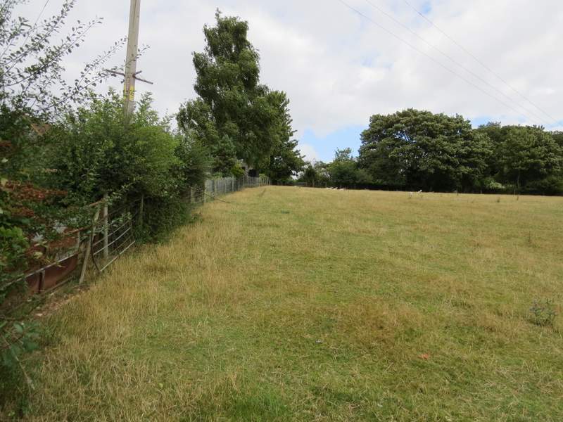
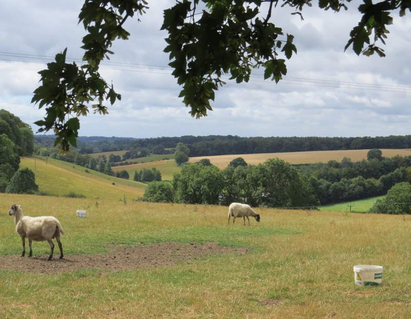
On the far side of the ploughed field I reached another lane, where I turned left and followed the lane gradually downhill. At the bottom of the slope I turned right onto a footpath, which went a little way uphill through an empty pasture or paddock (it held horses the first time I came this way) then followed a track going half-right the rest of the way to the top of the field. The path then ran for several hundred yards between a wire fence and a tall hedgerow on my right. Beyond a kissing-gate, the path then turned left to go quite steeply uphill through a large sheep pasture (there were cows here the first time I was here), following the hedge on my left.
The lane section, after I turned left
The path to Frieth Road, from its start where I turned right from the lane
The path to Frieth Road
The path to Frieth Road (this is the bit I'd seen from the ploughed field, following the hedgerow uphill)
The path to Frieth Road
View looking back from just before I reached Frieth Road