Pete's Walks- Cobblershill and Dunsmore (page 1 of 2)
If you are considering walking this route yourself, please see my disclaimer. You may also like to see these notes about the maps and GPX files.
Google map of the walkDownload GPX file of the walk
I did this roughly 4.2 mile circular walk on Sunday, 16th June 2013. I'm still recovering from Glandular Fever so this was another short walk, but I managed to include several paths that I'd not walked before.
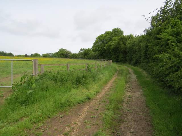
I parked in the small car park in Cobblershill Lane, off the A413 a few miles south of Wendover [IMPORTANT NOTE: The car park has now been closed for many years - there is only space for one or two cars to park by the car park entrance], and started walking about 9.35am. I turned right along the lane, following it for a few hundred yards until footpaths went off on either side. I turned left here, going through a metal kissing-gate and crossing an artificial horse gallop. Previously I have always taken the path forking half-left here, but today I took the path going straight on, initially between a wooden fence and a tall right-hand hedge. Further on the path had wooden fences either side, with the buildings of Russell Farm away to my right. The path then continued along a farm track, rising gently uphill. Where it turned right near the top of the slope, I passed a brown pond on the right (I've since been told that the pond sometimes dries up, and there is just a brown depression there).
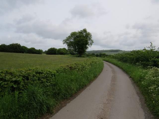
The lane from the Cobblershill car park (heading northeast towards the A413)

The path going northwest, south of Russell Farm
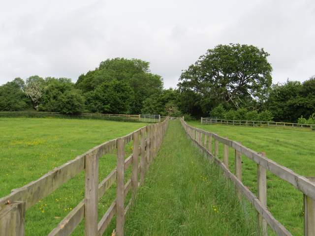
The path going northwest, south of Russell Farm
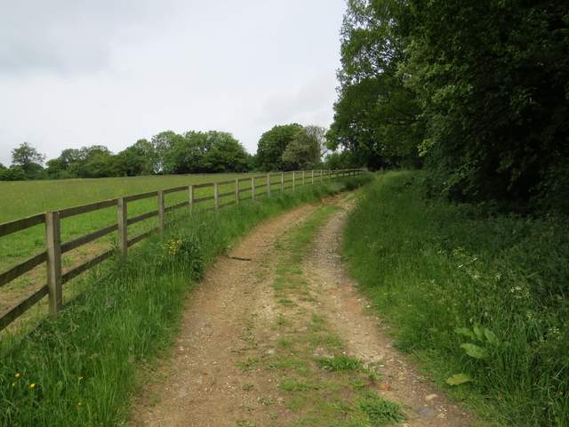
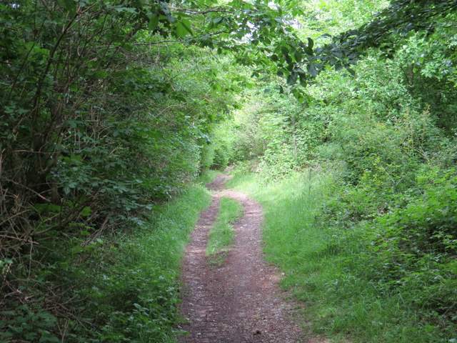
The footpath continuing west from Russell Farm
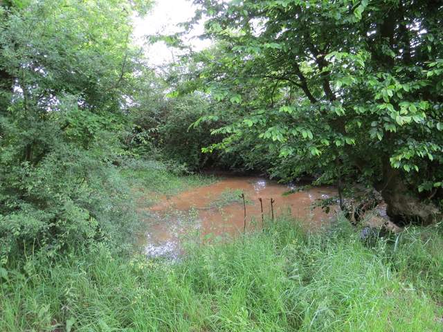
Pond beside the footpath continuing west from Russell Farm
The now level track continued between a fence and a right-hand hedge. As the track started to curve left, I went straight on over a stile. The path now ran between old hedges for some distance, eventually reaching a track south of Dunsmore, opposite a cottage. Back in familiar territory, I followed this track right for about 50 yards, before turning left along a path between fences in Scrub Wood. This led to a bridleway, where I turned right and gradually descended to a valley bottom. Here I left the bridleway (I'd meet it again later) and turned right along the valley bottom. The path followed a tall fence on my left initially. I normally take a path going half-right to Dunsmore along here, but today I continued ahead, soon with a garden hedge on my left, to reach Dunsmore Old Farm.
The footpath continuing west from Russell Farm
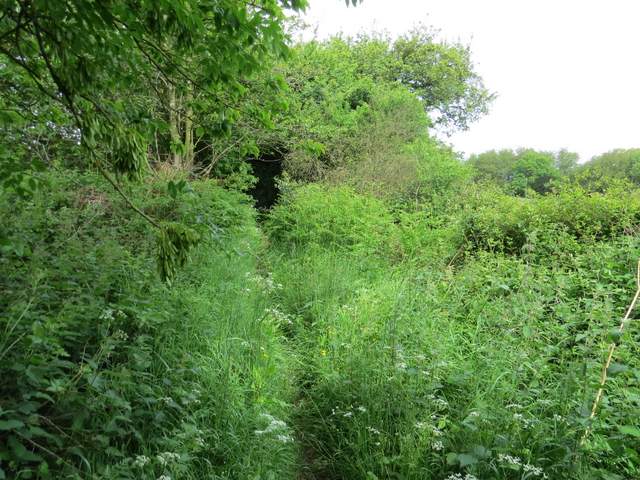
The footpath continuing west from Russell Farm
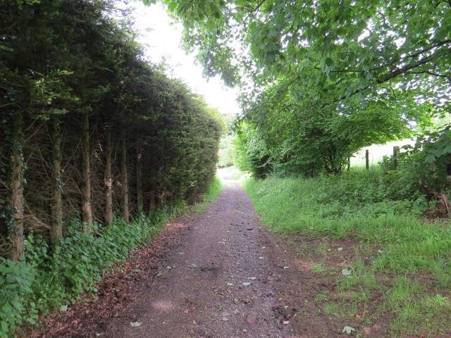
The footpath continuing west from Russell Farm , approaching the track to Dunsmore
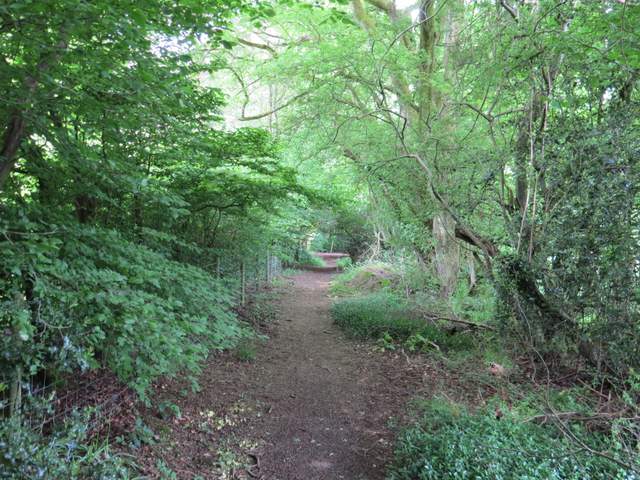
The short path in Scrub Wood,
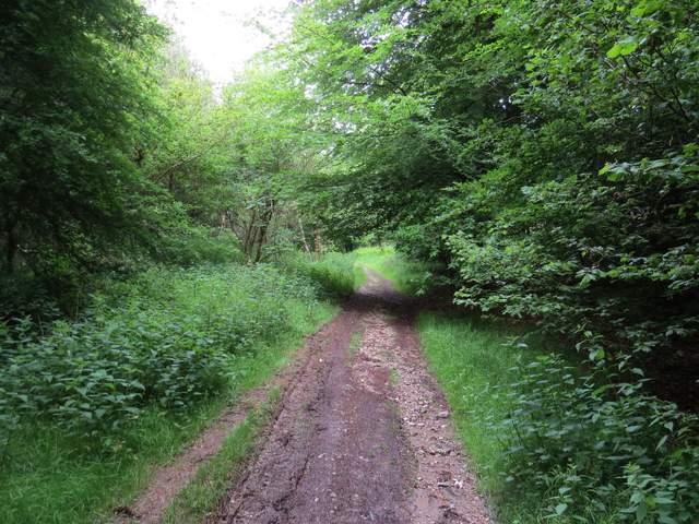
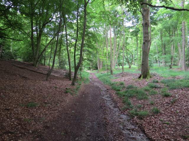
The bridleway descending through Scrub Wood
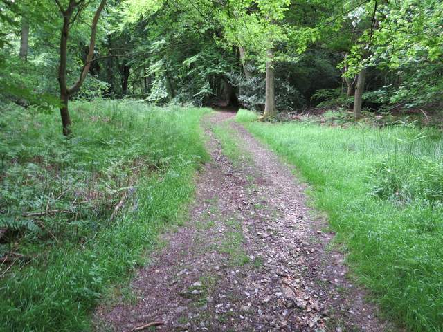
The bridleway going north to Dunsmore Old Farm
I turned left at Dunsmore Old Farm onto a bridleway. This was initially surfaced, but became a track beyond a cottage on the right. The track entered a large area of woodland (it's not clear from the OS map whether this was Fugsdon Wood or Goodmerhill Wood). After maybe a quarter of a mile I came to a five-way path junction, where I turned left (back onto a path I'd walked before), and headed south (initially uphill) through what was now Chisley Wood.
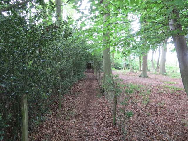
The bridleway going west from Dunsmore Old Farm
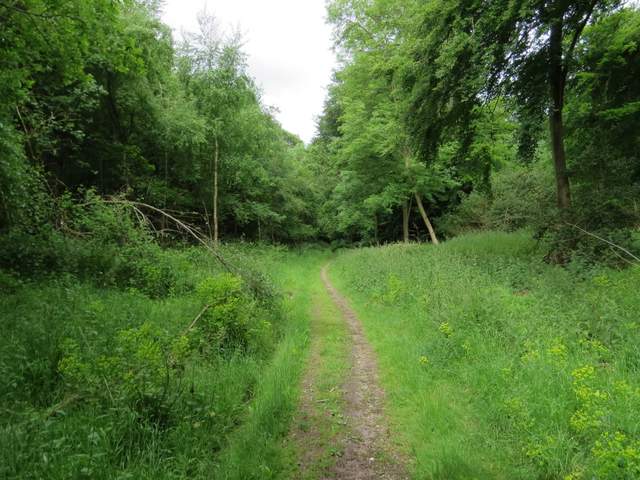
The bridleway going west from Dunsmore Old Farm
The bridleway going west from Dunsmore Old Farm
The start of the path going south through Chisley Wood
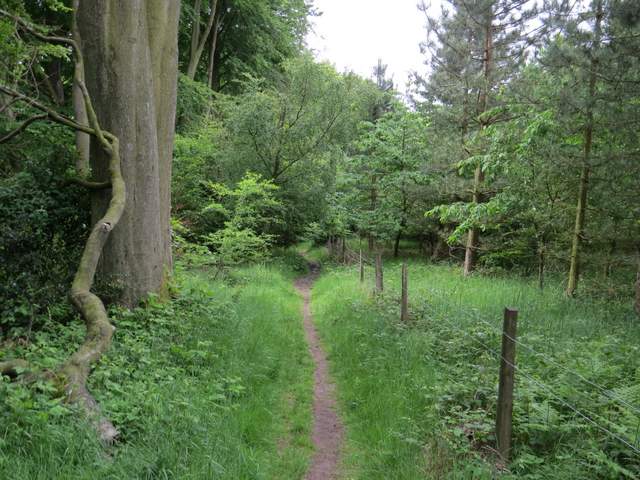
The path going south through Chisley Wood