Pete's Walks- Cobblershill and Dunsmore (page 2 of 2)
The path took me to the end of an old lane, from which several paths and bridleways radiate. I took the first path on my left, going southeast with the edge of the woods nearby on my left. I had do duck under some branches at one point, but the path was generally clear. When I reached the drive to Little Hampden Farm, I turned right along it for a short distance before the path continued on the left. A little further on I reached a bridleway (the one I'd followed downhill earlier). I turned right and followed it through the woods to the end of the lane in Little Hampden.
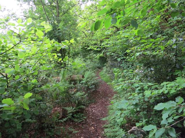
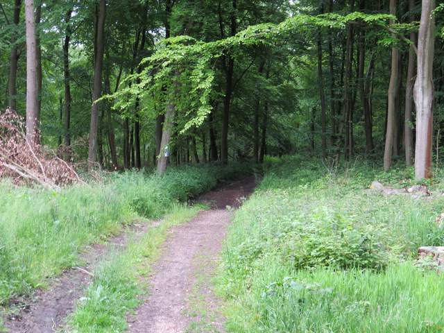
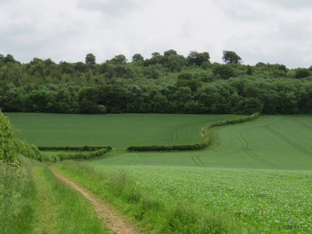
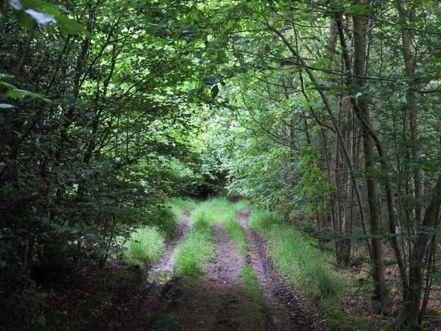
The path going southeast towards Little Hampden Farm
The path going southeast towards Little Hampden Farm
The path going southeast towards Little Hampden Farm
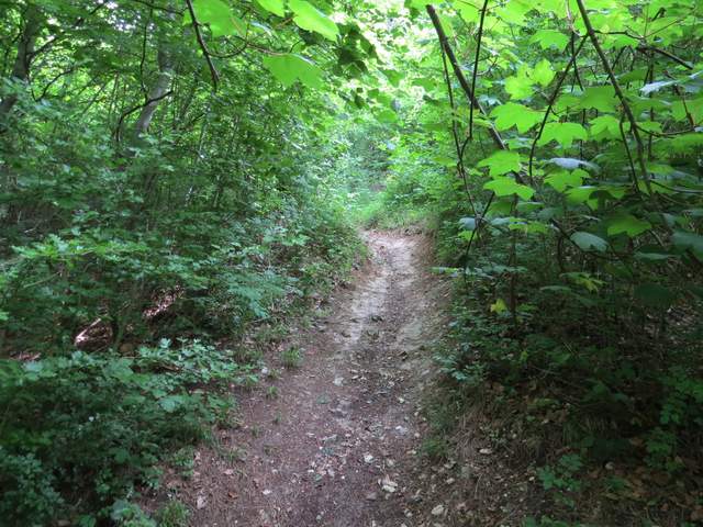
The path passing Little Hampden Farm
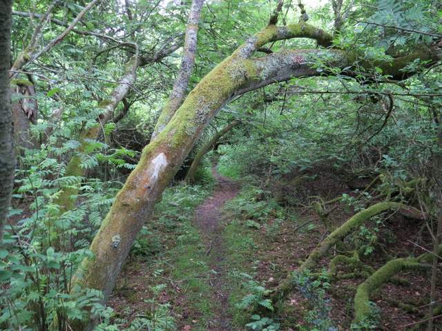
The bridleway to Little Hampden (the same one I'd been on earlier)
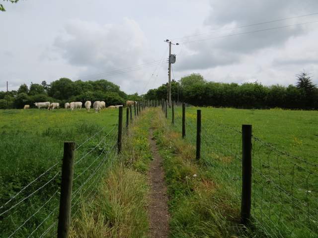
I turned left and followed the lane through Little Hampden, until I reached the church on the right (I didn't go inside, but apparently it has a few mediaeval wall paintings). I then took a bridleway on the left (there was no sign or waymark, and I had to ask a local gentleman where it started). I followed a track that crossed a valley, rising up through a wood on the far side (I think I walked this bridleway once before with my brother Tim, but have not recorded it before on this web site). The path then ran between wire fences with cattle pastures either side, before reaching the hamlet of Cobblershill.
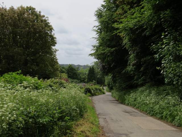
The lane through Little Hampden
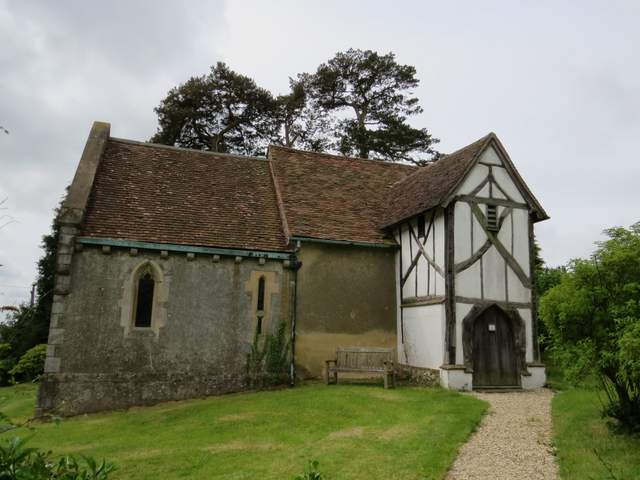
Little Hampden church
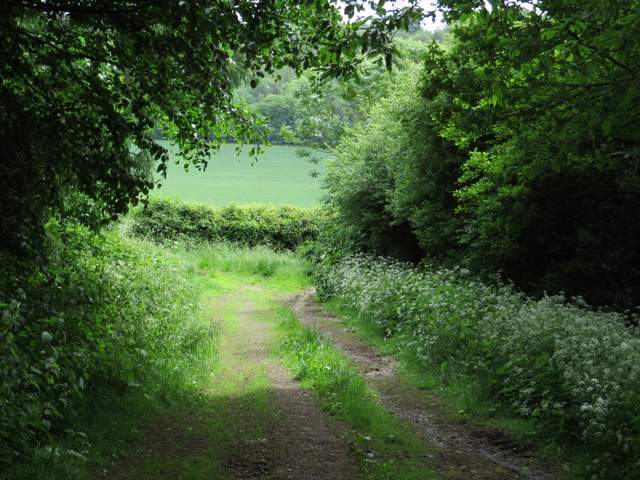
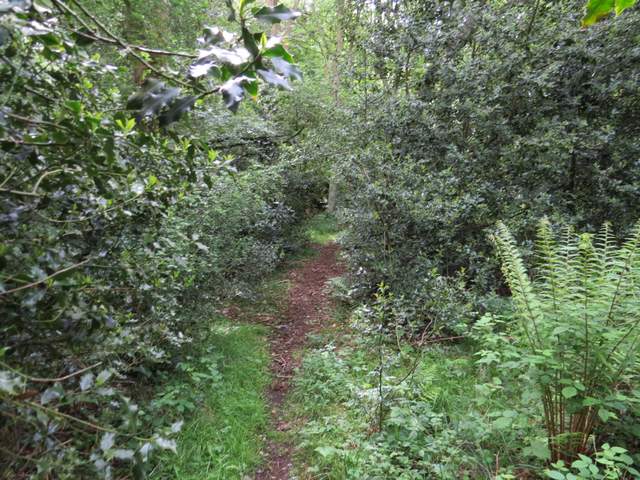
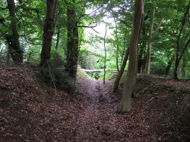
The bridleway from near Little Hampden church to Cobblershill
The bridleway from near Little Hampden church to Cobblershill
The bridleway from near Little Hampden church to Cobblershill
The bridleway approaching Cobblershill
I went a few yards left along the lane through Cobblershill, then turned right along a track or drive. This soon reached Cobblershill Wood, where I immediately turned left (this path was part of the Chiltern Way). When I came to a path crossroads, I turned left (leaving the Chiltern Way). At some point the wood became Cockshoots Woods (Cobblershill Wood is not named on the OS map, but is on the Google map). I kept right at a junction (turning left would have taken me back to the car park where I started, but I wanted to try a few paths in the wood that I'd not walked before). At the next junction I rejoined the Chiltern Way by turning left, only to leave it again by turning left at the bottom of the slope (just before the end of the wood). This path now ran along close to the northern edge of Cockshoots Wood. On coming to a path T-junction I turned right, and followed the path downhill and back to the car park where I'd started (the OS map shows this path merging with a bridleway, but that doesn't happen - the path and bridleway enter the car park at separate points).
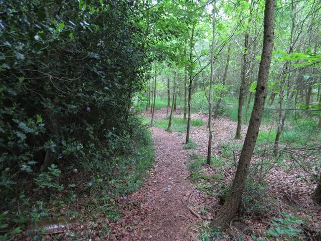
The path in Cobblershill Wood
Path in Cobblershill Wood (or possibly now Cockshoots Wood)
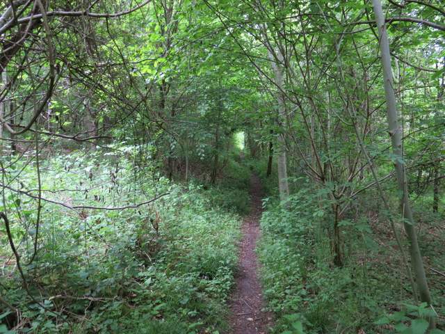
The Chiltern Way in Cockshoots Wood
The path across the north of Cockshoots Wood
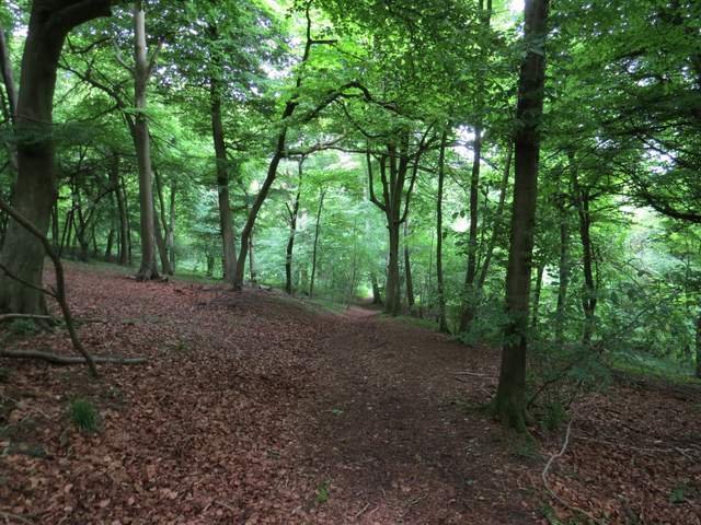
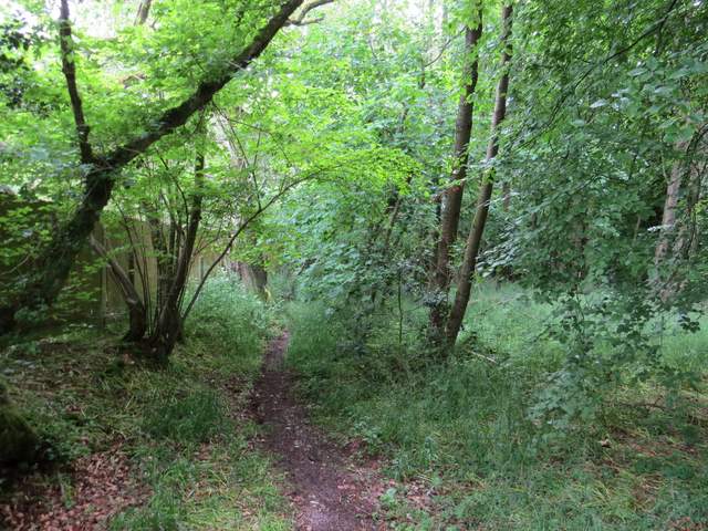
The path in Cockshoots Wood descending back to the Cobblershill car park
This was another nice short walk, the 4.2 miles taking me about an hour and a half. It went through a lot of attractive woodland, with a few short sections of field paths. I saw a good number of colourful wildflowers beside the paths and bridleways, including my first Goatsbeard and Yellow Pimpernel of the year.
NOTE: Thanks to Mark and Ali Datson for suggesting some improvements with the directions in this walk (11/10/14).