Pete's Walks- Watlington Hill and Wormsley (page 1 of 3)
If you are considering walking this route yourself, please see my disclaimer. You may also like to see these notes about the maps and GPX files.
Google map of the walkDownload GPX file of the walk
UPDATE 30/10/2023: You now have to pay (£3 a day, I believe) at Watlington Hill car park, unless you are a National Trust member.
I did this roughly 8.2 mile circular walk on Saturday, 25th January 2014. This was a new route for me, though there were only two sections of bridleway that I hadn't walked previously (and about a mile of the route that I'd only walked once before in the opposite direction).
I'd intended starting the walk at Cowleaze Wood, but when I got there the car park was temporarily closed (until the end of February, I think) because of forestry operations. Rather than park on the road, I drove on another couple of miles and used the car park on Watlington Hill. This just entailed an extra quarter mile road walk at the start and end of the walk. With hindsight, I should have tried to park in Christmas Common.
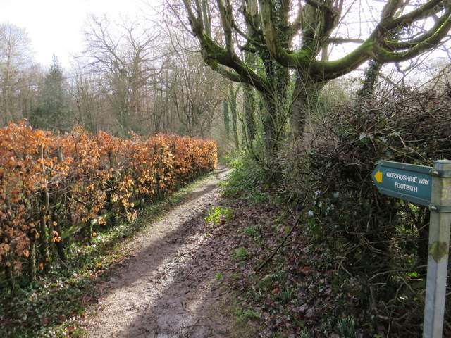
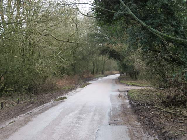
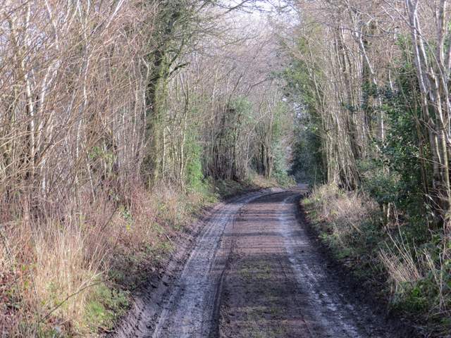
I started walking about 11.15am, from the car park at Watlington Hill. I turned right from the car park, and followed the road a quarter of a mile to a T-junction. Here I turned right and walked through the village of Christmas Common, keeping right where a road forked off left. Maybe a couple of hundred yards after passing the Fox and Hounds pub on my right, I took a footpath going left. This soon passed the former church on my right, and continued through Queen Wood. It then went a few yards left along a driveway to reach Hollandridge Lane, where I turned right. After another couple of hundred yards or so I turned left on a bridleway that descended gently through a wood called Prior's Grove. At the bottom of a small valley the bridleway turned right to follow the valley bottom (I frequently go this way to Turville Heath), but I continued ahead on a footpath, now in Fire Wood.
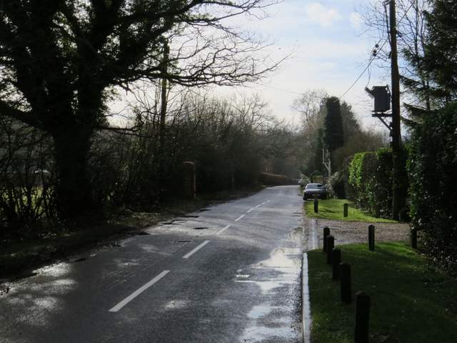
The road through Christmas Common
The start of the path through Queen Wood
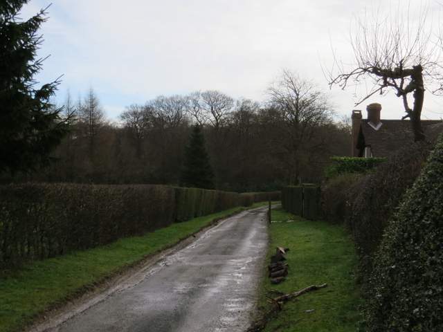
Hollandridge Lane
Start of the bridleway through Prior's Grove
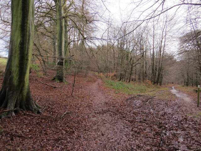
Where the footpath (left) forks from the bridleway, now in Fire Wood
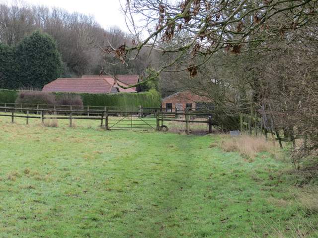
I had only walked this path once before, in the opposite direction, the first time I did my Watlington Hill, Cadmore End and Turville walk in April 2010. The path led through the wood, a mixture of deciduous and coniferous trees, and then it continued beside a right-hand hedge through a sequence of paddocks. I passed a long brick building on my right and went through a gate into another wood. A few yards further on, the path turned left (there were snowdrops in the wood here) and soon reached a minor road in Northend (a hamlet at the north end of the parish of Turville). I turned right and followed the road for about half a mile to a junction, where I took a bridleway going left (there was a large pond to my right at the junction).
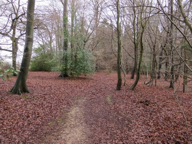
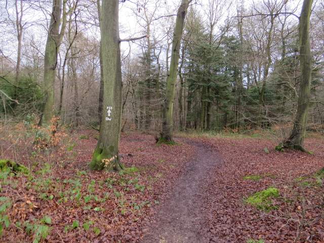
The footpath through Fire Wood
The footpath through Fire Wood
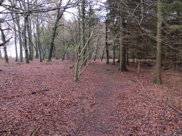
The path continuing from Fire Wood to Northend
The road through Northend
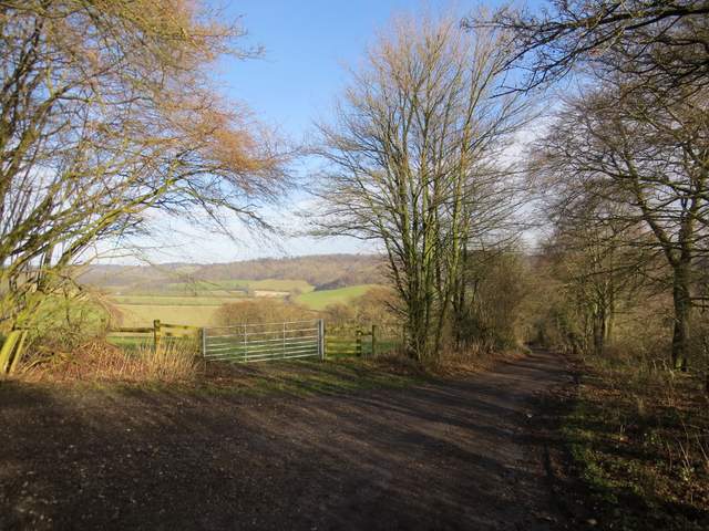
The bridleway was new to me, although I've often walked a section of it that I'd come to later. It started as a good farm track, soon passing the entrance to Northend farm on my left. It continued between hedgerows, and at a sharp left bend there was a good view right along a rather misty valley towards Turville. Further on there was another good view on the left, looking north along the Wormsley Valley where I was heading. The track was now roughly surfaced like a drive as it dropped downhill, but at a left bend the bridleway left the drive, going slightly right and continuing downhill as a narrow sunken 'hollow way' between old hedges.
The bridleway from Northend going north to the Wormsley Valley
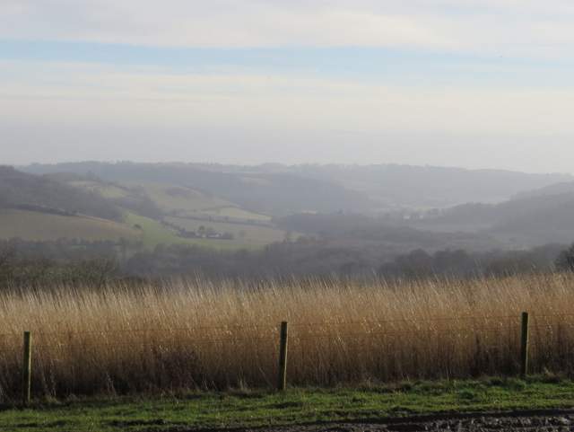
View right from the bridleway, looking along a valley towards Turville
The bridleway from Northend going north to the Wormsley Valley
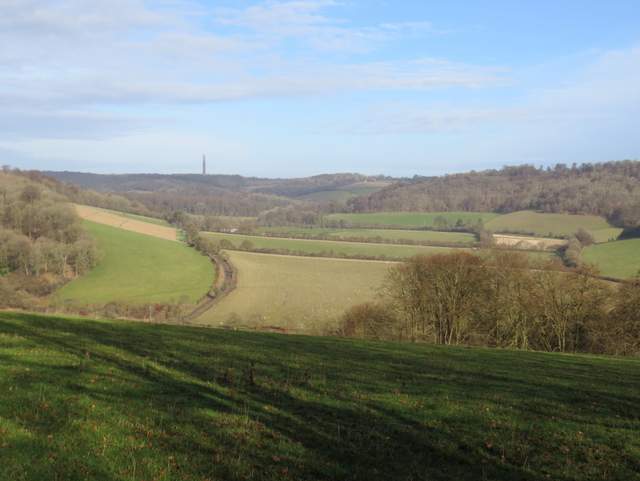
View left from the bridleway, looking along the Wormsley valley (the route continues along the curving hedgerow on the right)
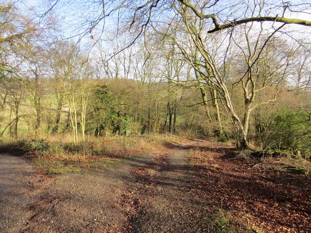
Where the bridleway forks right from a drive
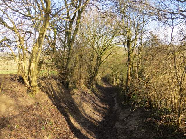
The bridleway dropping into the Wormsley Valley