Pete's Walks- Watlington Hill and Wormsley (page 2 of 3)
At the bottom of the hill I crossed a drive on the Wormsley Estate, and took the continuation of the bridleway on the other side (this was the bit I knew well, another footpath goes half-right here to Hale Wood and on uphill to Ibstone). The bridleway headed north through the lovely Wormsley Valley, with several Red Kites flying nearby. After about a quarter of a mile a footpath (part of the Chiltern Way) crossed the bridleway - the next quarter of a mile or so of the bridleway was again new to me, but when another bridleway came in from the right (having come down from Ibstone) I was back on familiar territory. After another quarter of a mile the bridleway joined another drive on the Wormsley estate at a bend, going straight on with a deer park behind the beech trees on the left. After passing Wellground Farm and a large thatched cottage on my left, I took a path on the left gradually rising uphill towards a wood called Langleygreen Plantation.
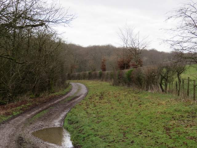
The continuation of the bridleway, after crossing another drive
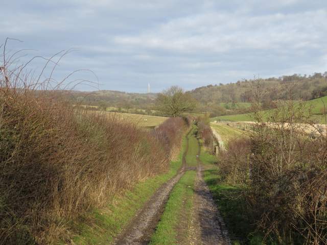
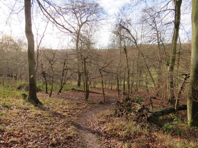
The bridleway continuing north through the Wormsley Valley (this is from where it crosses the route of the Chiltern Way)
The bridleway continuing north through the Wormsley Valley
The bridleway continuing north through the Wormsley Valley (this just after a bridleway from Ibstone came in on the right)
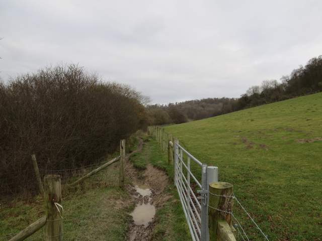
The bridleway continuing north through the Wormsley Valley
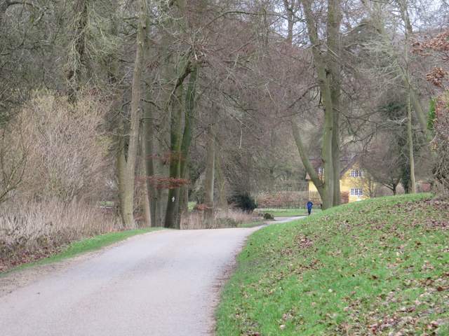
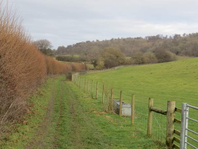
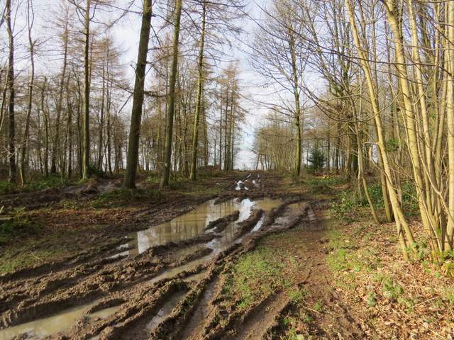
The bridleway continuing north through the Wormsley Valley, now on another of the Wormsley Estate's drives
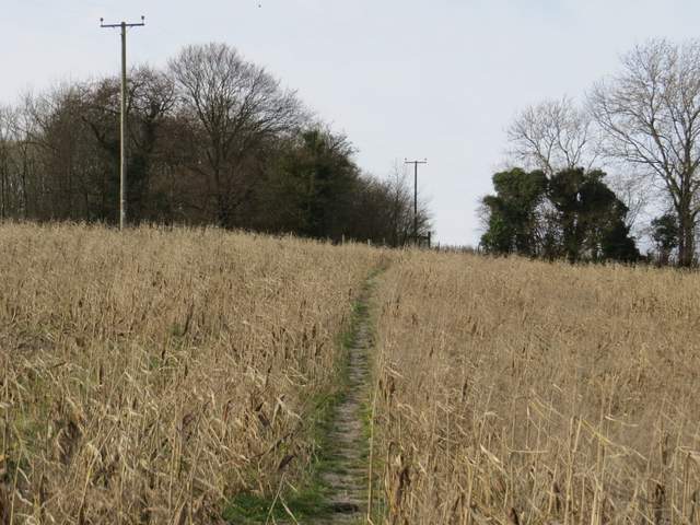
It was fairly gentle but quite long climb up through the trees, before the path levelled out. After about half a mile I turned left at a path crossroads, and dropped downhill through part of Langleygreen Plantation. Beyond the wood the path crossed a meadow, went through a tall gate and passed to the left of Lower Vicar's Farm. I went a few yards left along another Wormsley Estate drive, then took a footpath on the right. This led uphill (slightly less steep than I'd remembered, but just as long) through a large open meadow or pasture, and then through another field containing the remains of a crop of maize (this meadow and maize field were just one field when I first came this way a few years ago). At the top of the field I reached Cowleaze Wood.
The path from near Wellground Farm to Langleygreen Plantation
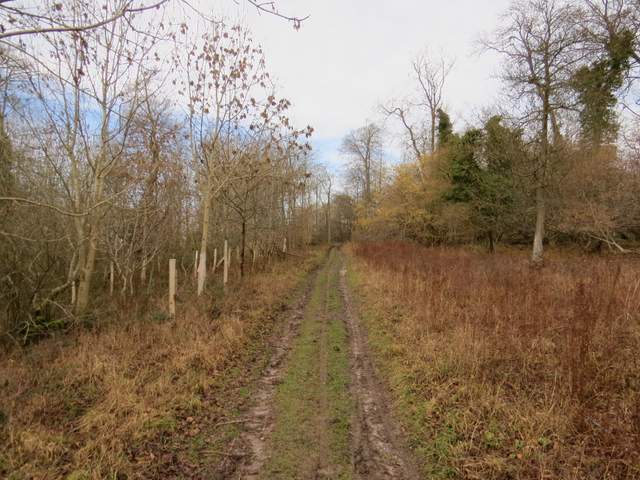
The path from near Wellground Farm to Langleygreen Plantation
The path in Langleygreen Plantation descending towards Lower Vicar's Farm
Approaching Lower Vicar's Farm
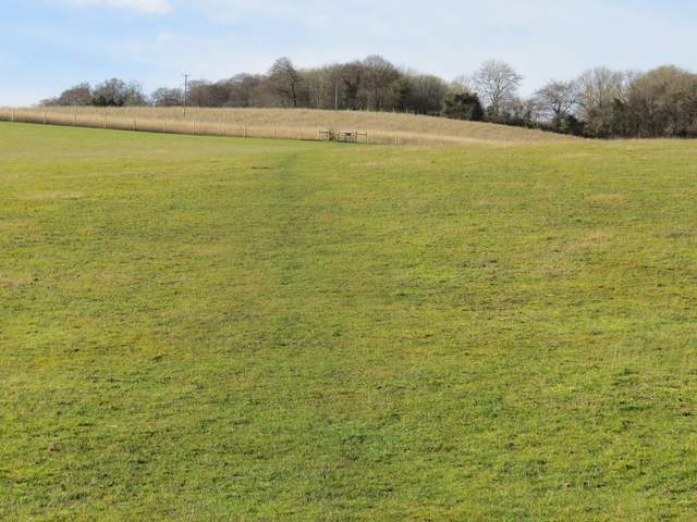
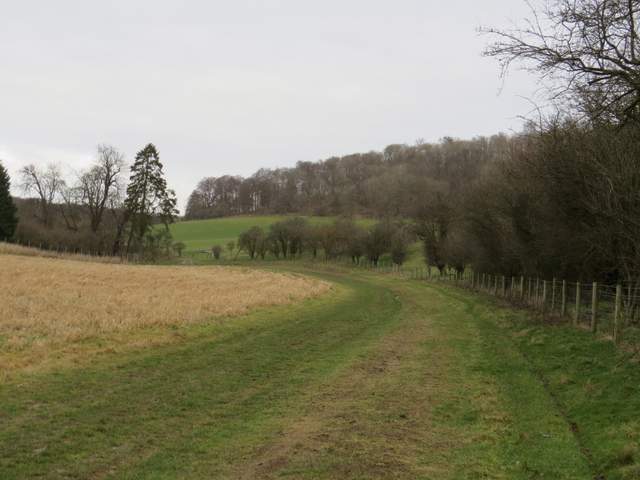
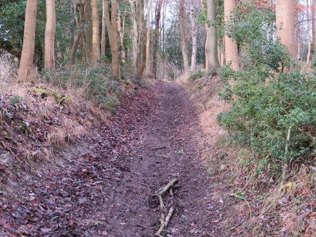
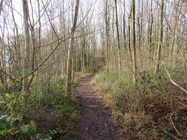
The path from near Lower Vicar's path to Cowleaze Wood
The path from near Lower Vicar's path to Cowleaze Wood
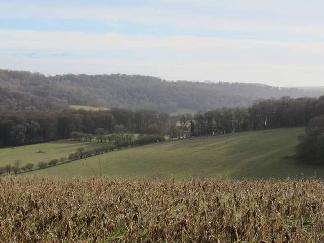
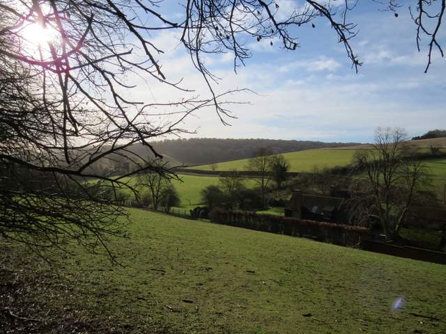
Looking left along the Wormsley Valley

Looking back over Lower Vicar's Farm to Langleygreen Plantation
A notice at the entrance to the wood said the 'open access' area was temporarily closed due to forestry operations, but that didn't affect the public footpaths (when I looked at a similar notice on the far side of the wood I saw that the restriction wasn't in force at weekends, and that it was for January and February 2014). I followed the footpath through the wood for about half a mile, spotting a male Bullfinch at one point. The path got much muddier the nearer I got to the car park on the far side of the wood, especially where I had to cross the tracks recently made by the forestry vehicles.
The footpath through Cowleaze Wood
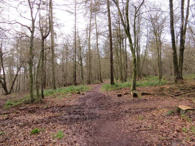
The footpath through Cowleaze Wood
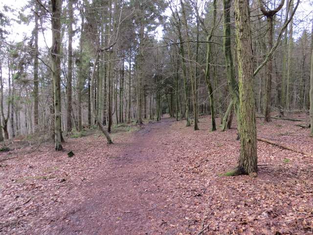
The footpath through Cowleaze Wood
Approaching the car park at Cowleaze Wood