Pete's Walks- Cowleaze Wood, Studdridge Farm, Christmas Common (page 1 of 5)
If you are considering walking this route yourself, please see my disclaimer. You may also like to see these notes about the maps and GPX files.
Google map of the walkDownload GPX file of the walk
NOTE (6/11/2025): Parking at Cowleaze Wood is no longer free, there is now a cashless payment system. To see details, click here and then click on the 'Parking and prices' tab.
I did this circular walk of about 9.4 miles on Saturday, 24th January 2015. When I set out, this was meant to be a repeat of a walk I did in January 2014 but done in the opposite (clockwise) direction and with a bit tagged on out to Studdridge Farm (just to to make it 9-10 miles long). However, in the event I made a couple of changes that made it into a different and even better route.
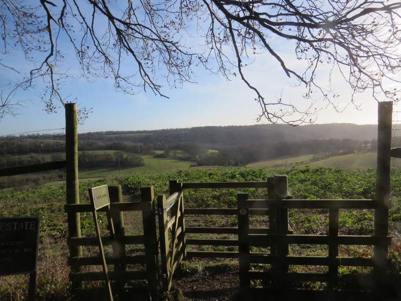
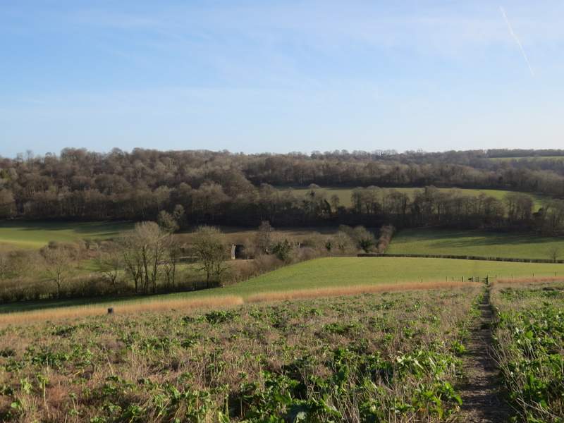
I parked in the car park at Cowleaze Wood (about 2 miles west of Stokenchurch and a similar distance north of Christmas Common), and started walking about 10.30am. I went down the broad (and rather muddy) track opposite the car park entrance, which soon turned into a narrower path running eastwards through the wood. At some point along the path I saw a small green sign attached to a tree that said 'WWII Bomber Memorial', with an arrow pointing left. I went maybe 20-30 yards into the wood and easily found the stone memorial dedicated to the seven-man crew of a Halifax bomber that crashed here on 31st March 1944 while returning from a bombing raid over Nuremburg. There were two wreaths here (one from Radnage Scout troop), so it was nice to see the crew were still being remembered. I returned to the path and carried on through Cowleaze Wood. Beyond the wood the path dropped downhill through two fields, with fine views over part of the Wormsley Valley, to reach a drive on the Wormsley estate near Lower Vicar's Farm.
The start of the footpath from the Cowleaze Wood car park
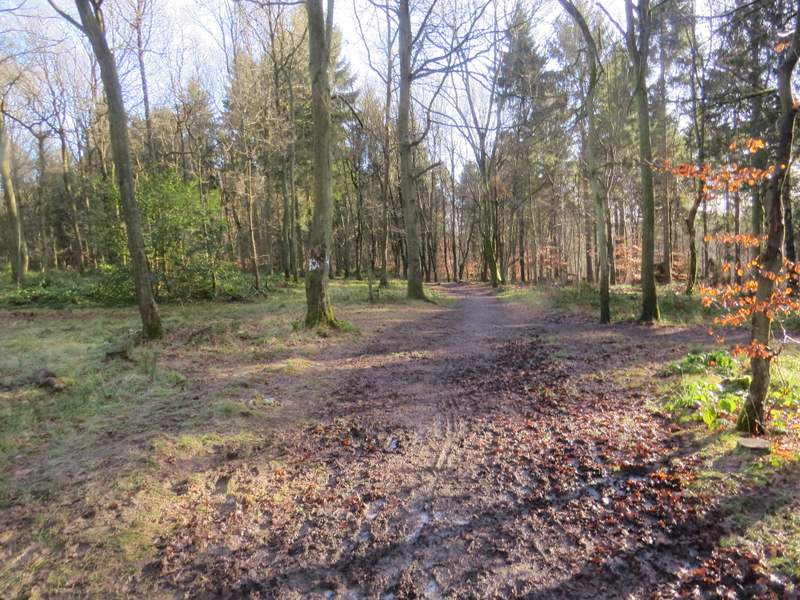
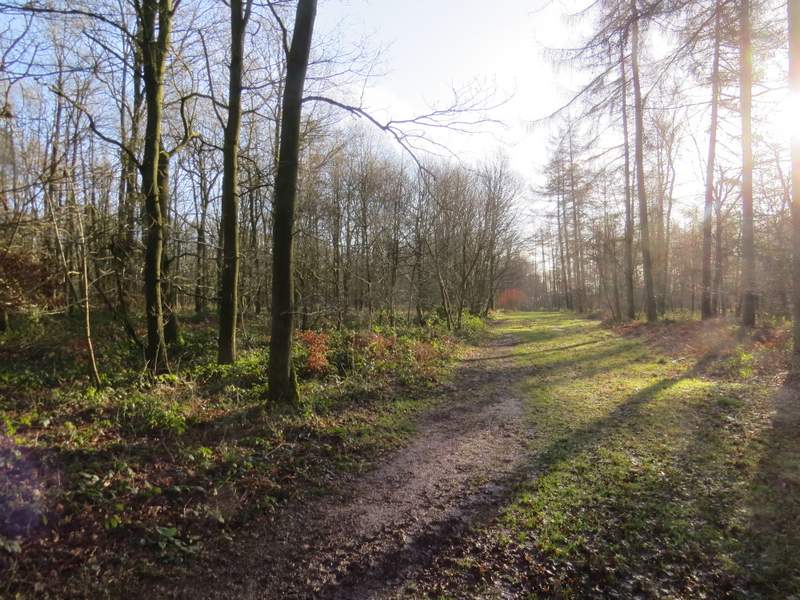
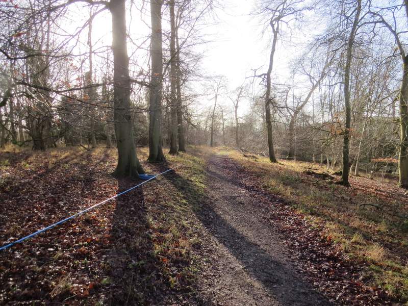
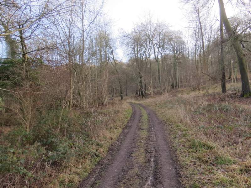
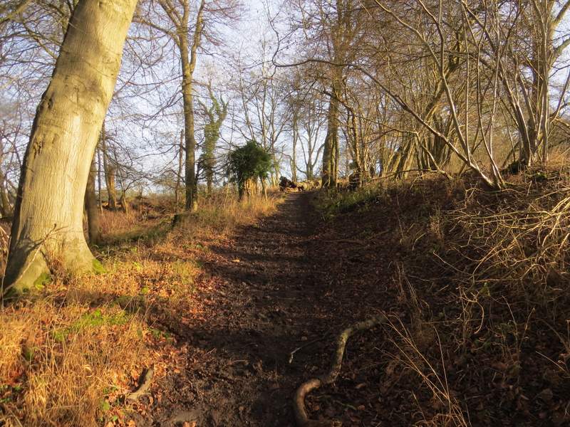
The footpath through Cowleaze Wood
The footpath through Cowleaze Wood

The memorial to the crew of a Halifax bomber that crashed here in March 1944, returning from a raid on Nuremberg
The footpath through Cowleaze Wood
The view ahead over the Wormsley Valley as the footpath leaves Cowleaze Wood
The path continuing down into the Wormsley Valley near Lower Vicar's Farm
I turned left along the drive and then took a path on the right that went through the grounds of Lower Vicar's Farm. The path then went uphill across a sloping pasture or paddock to reach Langleygreen Plantation. The path continued uphill through the wood. On reaching a crossing bridleway, I turned right and followed the bridleway southwards for about half a mile as it gradually descended to reach another estate drive near Wellground Farm.
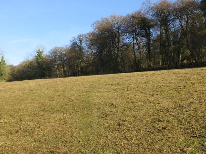
The path between Lower Vicar's Farm and Langleygreen Plantation
The path going uphill through Langleygreen Plantation
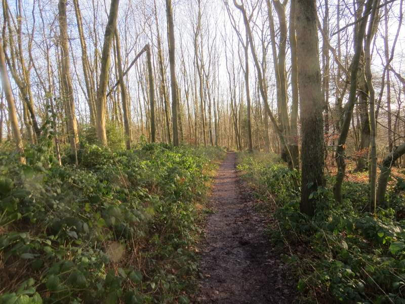
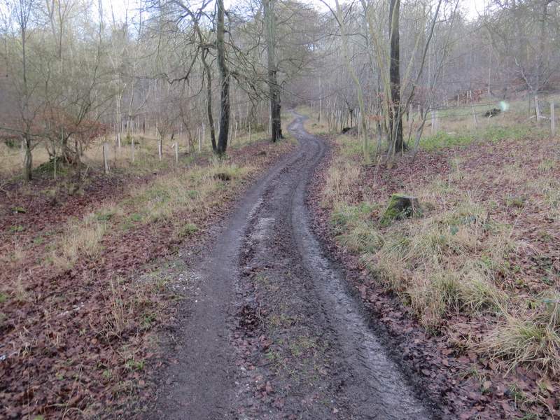
The bridleway going south through Langleygreen Plantation
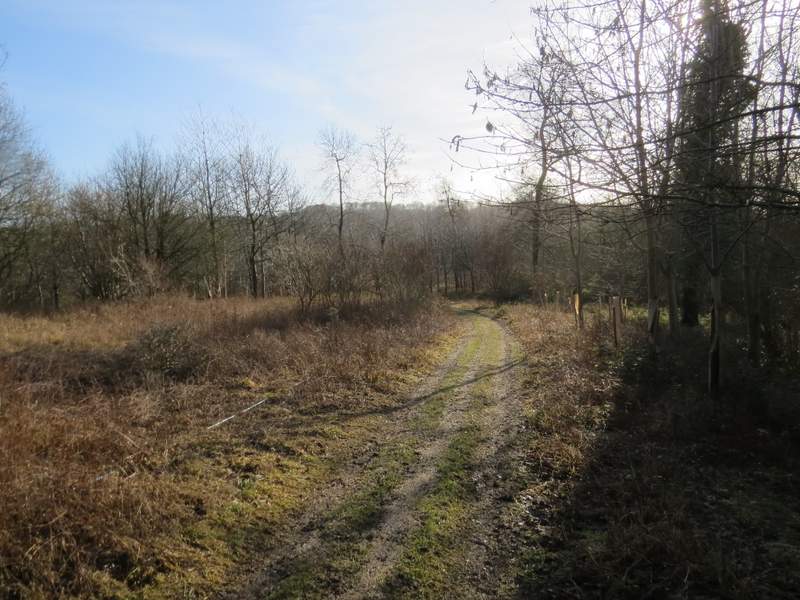
The bridleway going south through Langleygreen Plantation
The path going south through Langleygreen Plantation, descending towards Wellground Farm (curiously the OS map shows that it has changed from a bridleway to a footpath now)
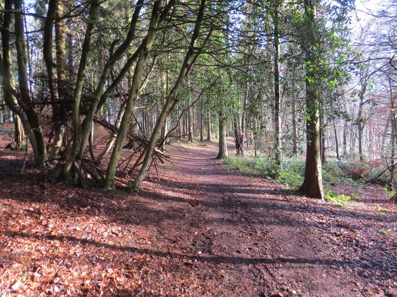
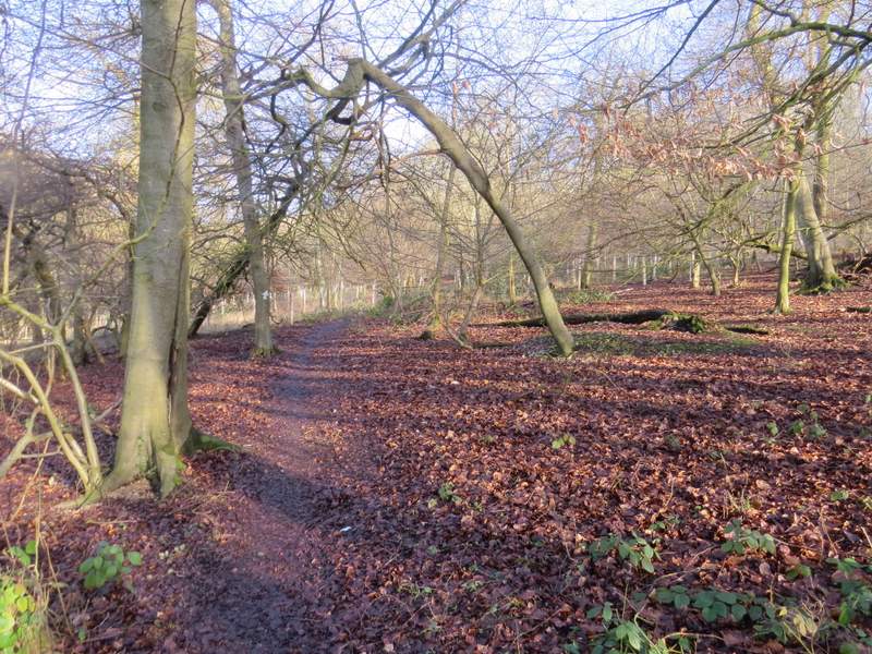
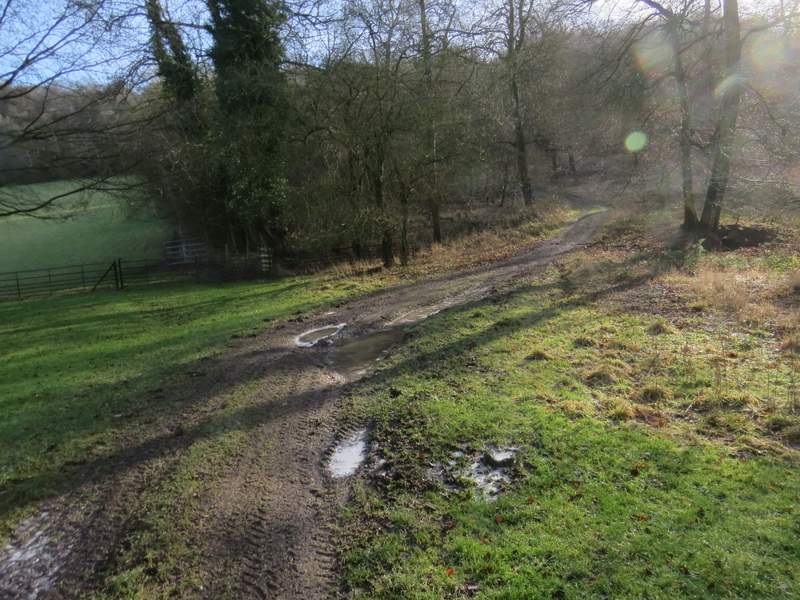
I crossed over the drive and continued along the bridleway on the other side - this was the first time I'd been this way. The bridleway started as a track, running through Bowley's Wood and climbing uphill. After a few hundred yards the bridleway turned left from the track, but continued uphill through the wood. It seemed quite a long way uphill, though the gradient was never too steep. Eventually the bridleway ended when it reached a minor road going south from Stokenchurch towards Ibstone, away to my right.
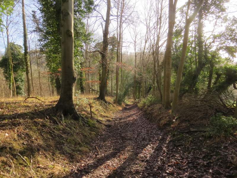
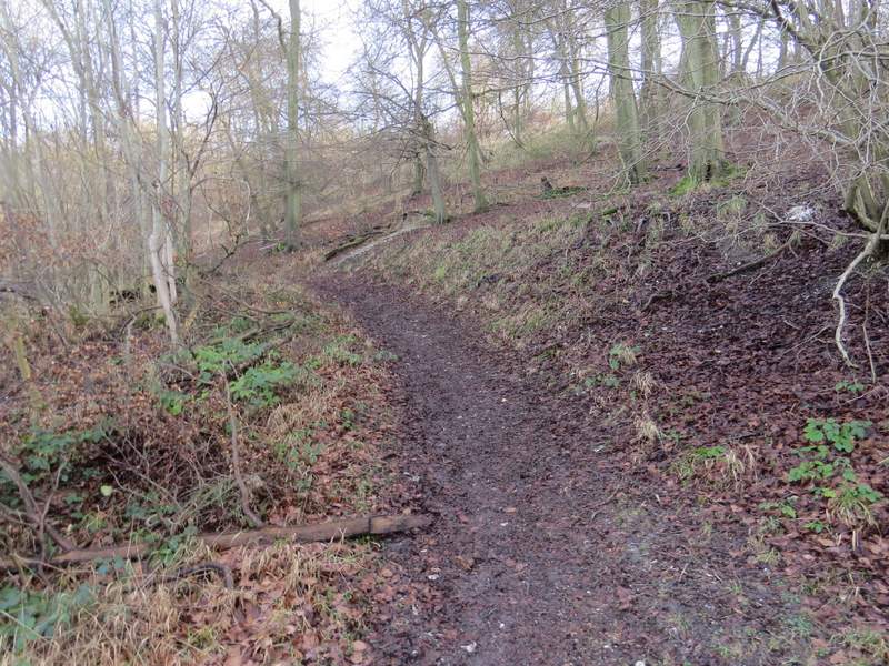
The start of the bridleway through Bowley's Wood
The bridleway through Bowley's Wood
The bridleway through Bowley's Wood
The bridleway through Bowley's Wood - from where it turns left from the track
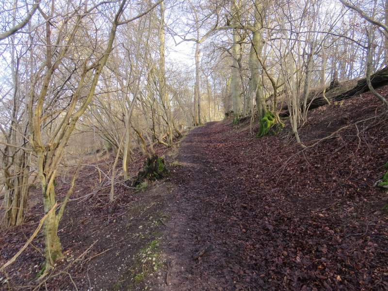
The bridleway through Bowley's Wood
The bridleway through Bowley's Wood