Pete's Walks- Hambleden, Frieth, Bovingdon Green (page 2 of 5)
I went through a gate and followed a bridleway through the wood, soon turning from north to east. I went straight ahead at a path crossroads, the map showing that I was now on a path rather than the bridleway (which turned left). I kept straight on, ignoring paths going off left and right, until the path reached a corner of the wood where it turned right. the path now soon led to a track or drive, which itself led on to a lane in the village of Frieth.
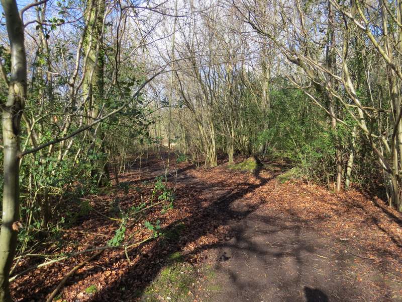
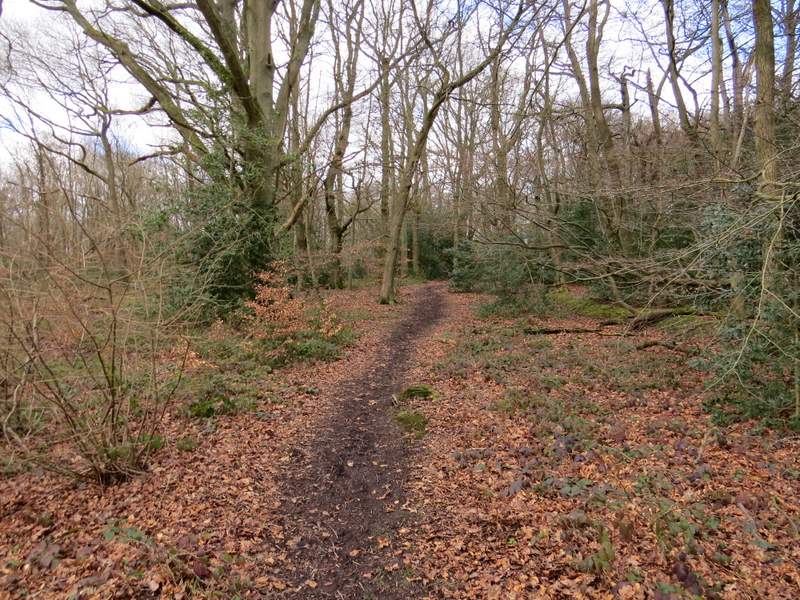
The start of the bridleway through Mousells Wood
The bridleway through Mousells Wood
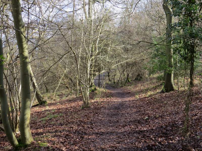
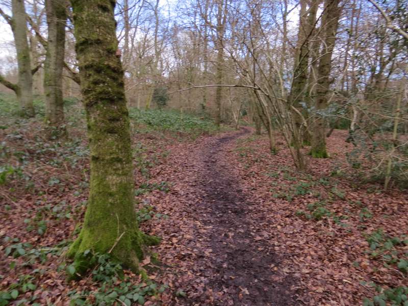
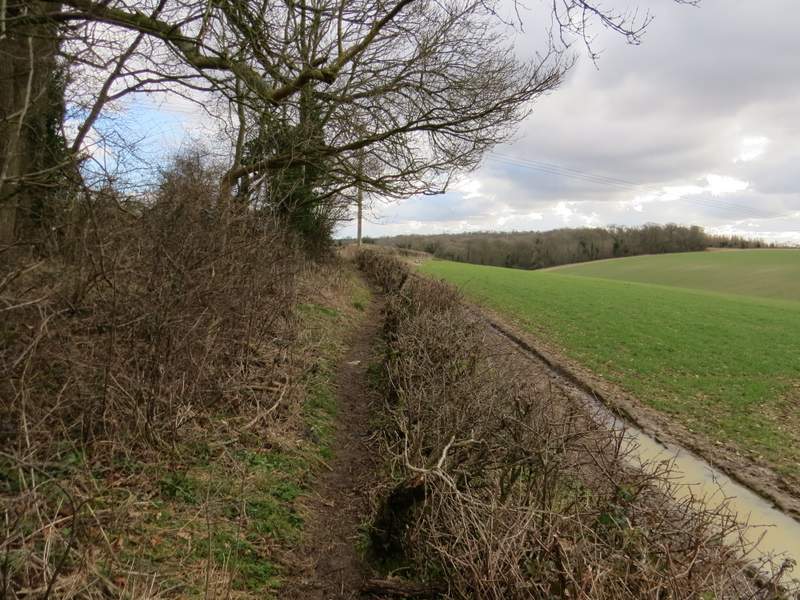
At this junction the bridleway through Mousells Wood becomes a footpath
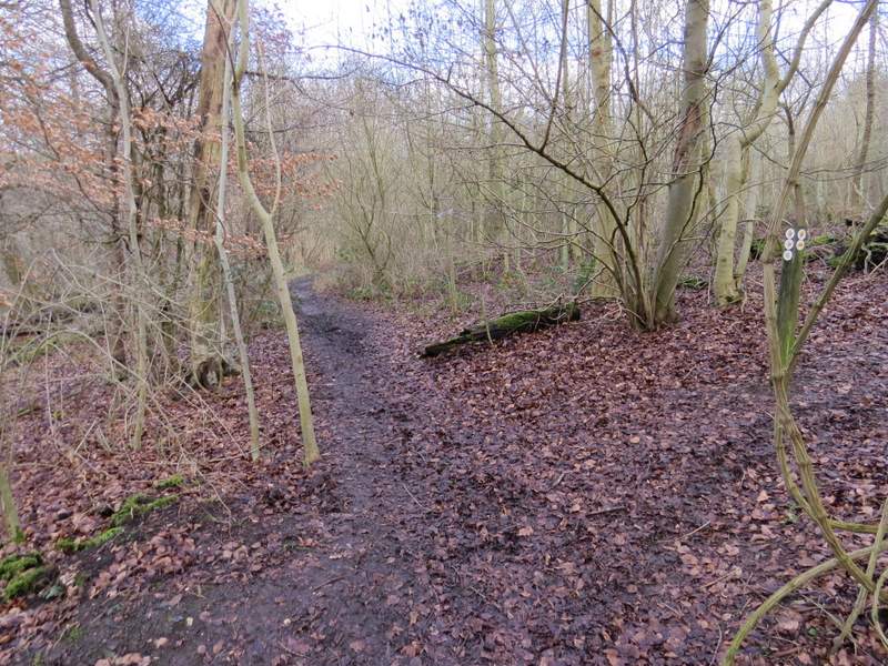
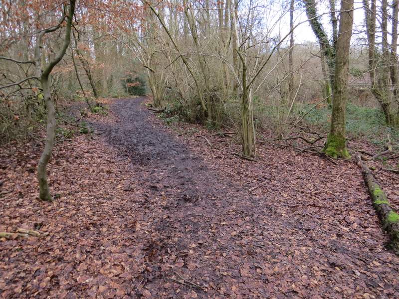
The path on the eastern edge of Mousells Wood heading to Frieth
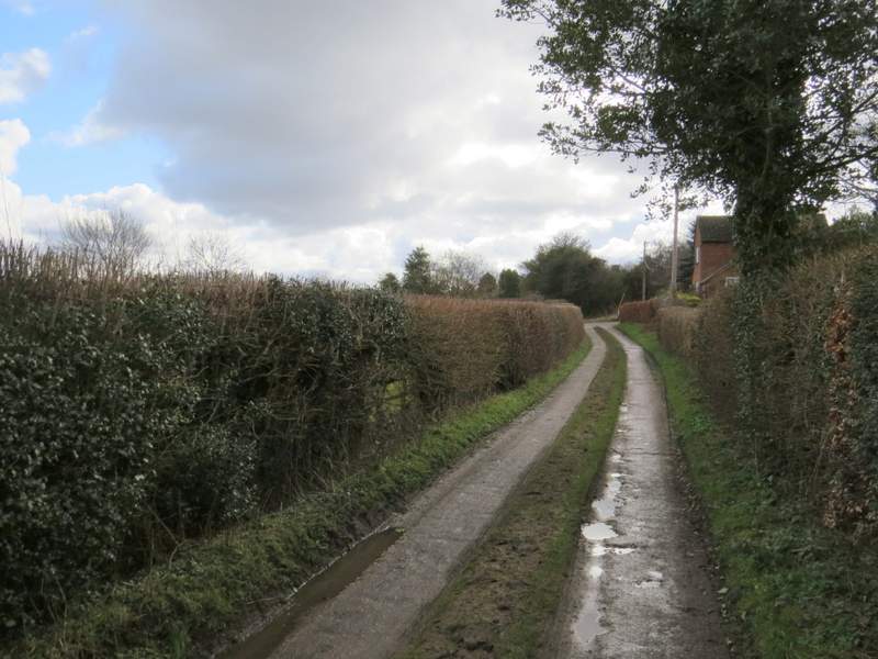
The track into Frieth
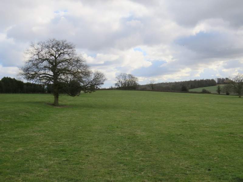
At the end of the lane I went a few yards left and took a footpath on the other side of the road. This crossed a large empty paddock, then continued along the edge of a grassy field to reach Moorend Wood. I went a few yards left along a track, then took a narrow path through the trees on the right. This soon brought me to a road, across which I followed a path through Moorend Common (I keep meaning to visit here on a summer day to look for the varieties of orchids and other wild flowers that grow here, it is a very unusual habitat for the Chilterns). The common was initially an open grassy area, but then became more of a wood. The path went roughly north for over half a mile, crossing the drive to a cottage at one point.
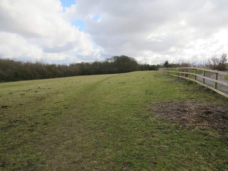
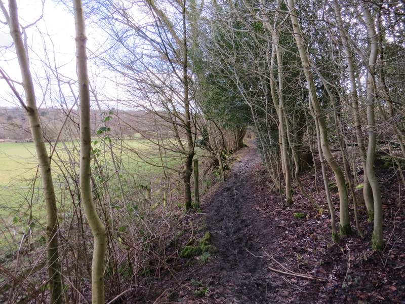
The start of the path southeast from Frieth to Moorend Wood
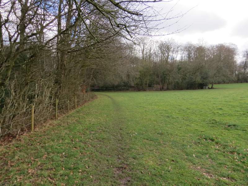
The path approaching Moorend Wood
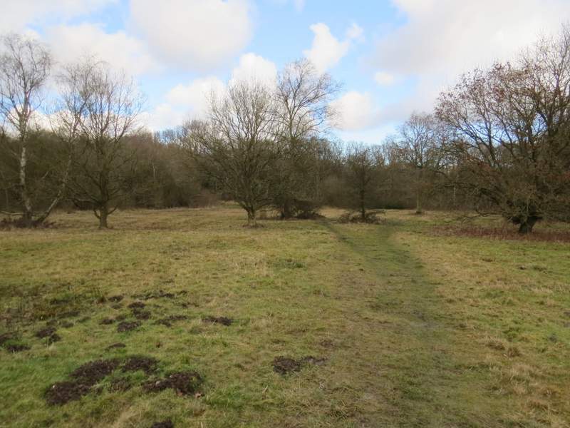
Moorend Common
The path through Moorend Common
The path through Moorend Common
The path through Moorend Common
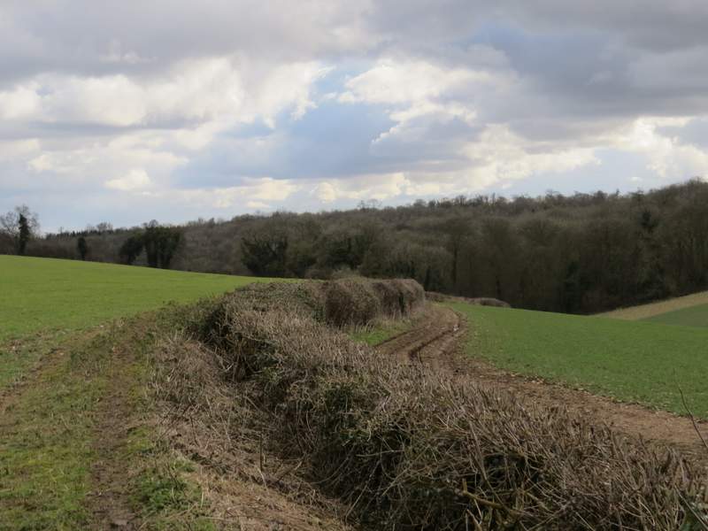
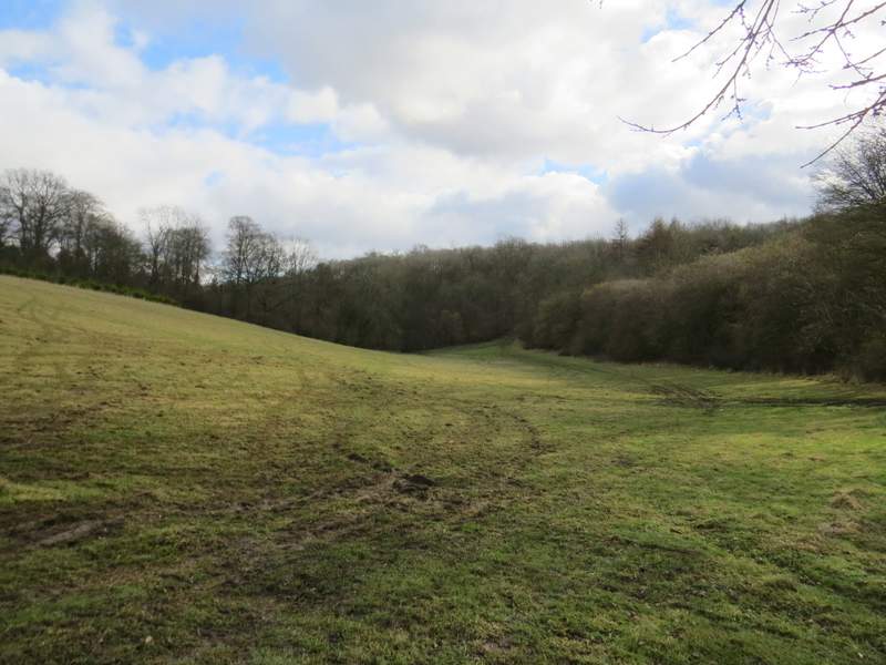
Eventually I turned right where waymarks indicated a path junction, and was soon following a brick wall on my left. I then crossed a large meadow or pasture, with Moor Farm and other buildings to my left. Across a track the path continued past a clump of trees, the site of the remains of a chapel according to the map. After a while the path switched to the right of the hedgerow, and then cut through an area where trees had been planted to reach Bottom Wood. I kept left (or straight on) at a path fork, and followed the path through the wood and then across a grassy field to reach the much larger Moor Wood.
The path going southeast from Moor Common - it heads to the trees in the centre, which park the site of the ruined chapel
The path continuing past the remains of the chapel (nothing really visible)
The path continuing towards Bottom Wood
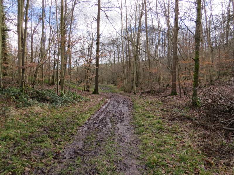
The path through Bottom Wood
The path continuing between Bottom Wood and Moor Wood