Pete's Walks- Maidensgrove and Greys Court (page 1 of 5)
If you are considering walking this route yourself, please see my disclaimer. You may also like to see these notes about the maps and GPX files.
Google map of the walk Download GPX file of the walk
I did this circular walk of about 9.8 miles on Saturday, 18th April 2015. I've just been looking back through my walks and I'm amazed that it's almost three years since I started a walk at Maidensgrove Common - May 12th, 2012, when I did this Maidensgrove and Rotherfield Peppard walk. In fact it was happy memories of that walk on a beautiful Spring day that had inspired me to come back here today on a similar day. This route was largely on paths I'd walked before, but I managed to include three short sections on paths that were new to me.
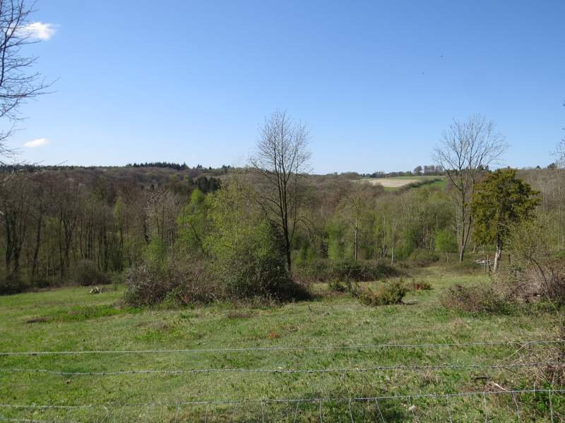
I parked beside the lane that crosses Maidensgrove Common (Grid Reference SU 718886 - the other end of the common is called Russell's Water Common), and started walking about 11.20am. I went along the lane to where it turned along the edge towards Upper Maidensgrove and Russell's Water, but then I turned in the opposite direction, left, to walk along the edge of the common to reach a drive that led on to a lane in Maidensgrove. I went more or less straight on along the lane, heading towards Lodge Farm.
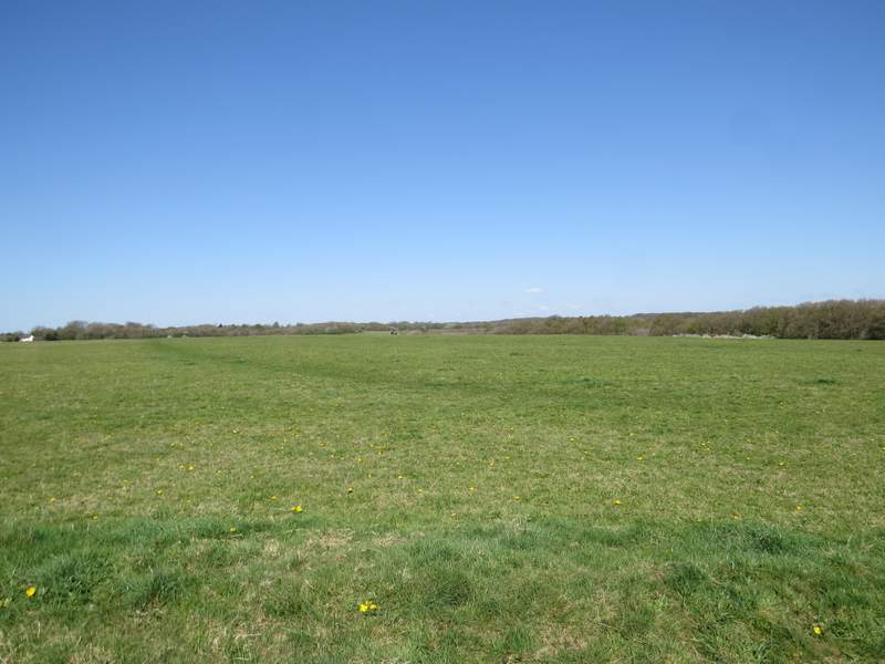
Maidensgrove Common, from the lane that crosses it
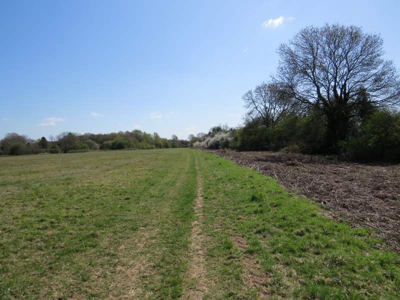
The path along the edge of Maidensgrove Common
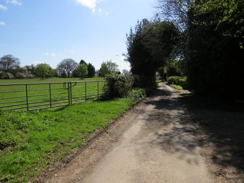
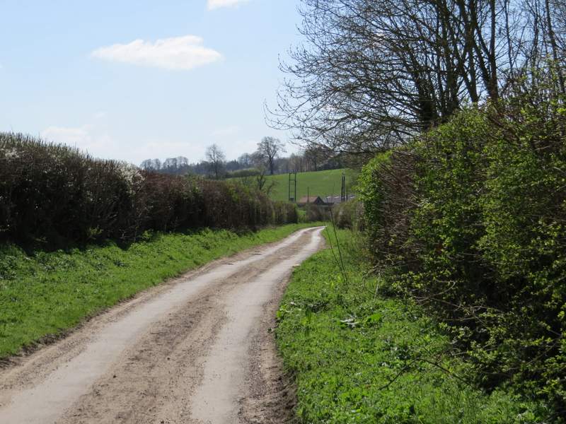
The lane through Maidensgrove, heading to Lodge Farm
Just before the lane ended at Lodge Farm, I turned right and followed a bridleway just inside the edge of the Warburg Nature Reserve. The bridleway was on a good track, the bit of the nature reserve that was on my left soon petering out until there was just a hedge there. After about a third of a mile I kept right at a fork, the bridleway now dropping downhill through Freedom Wood. Soon there were nice views over the nature reserve in the wooded valley to my right. Beyond the wood, the bridleway continued downhill between hedges to reach the lane that runs through the valley of Bix Bottom (I spotted my first Cowslips of the walk just before I got to the lane).
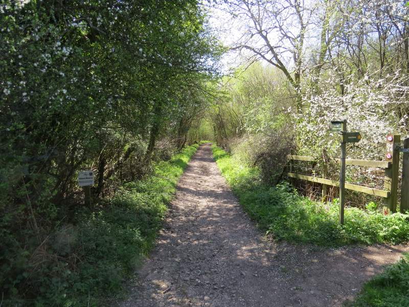
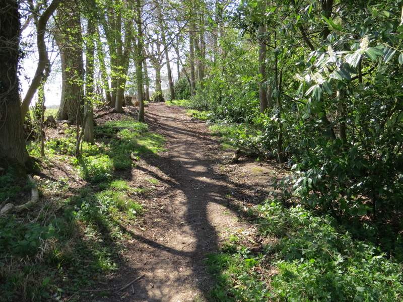
The start of the bridleway past the Warbug Nature Reserve
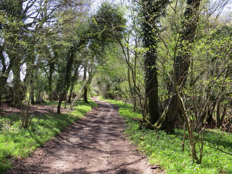
The bridleway past the Warbug Nature Reserve
The bridleway past the Warbug Nature Reserve
The bridleway past the Warbug Nature Reserve, just before I forked right (you can't really see the start of the left fork in the photo)
The bridleway continuing through Freedom Wood
Looking right from Freedom Wood, over the Warburg Nature Reserve
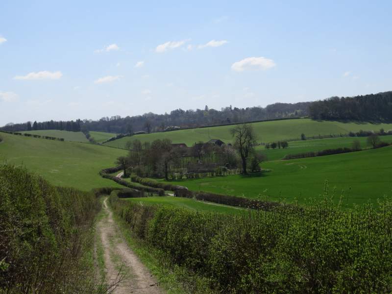
The bridleway approaching the lane in Bix Bottom - the trees in the centre surround the old church and partly obscure Valley Farm
I turned left along the lane in Bix Bottom, but after a few yards I stopped to look at the remains of St James church - there was clearly work being done here, presumably to stabilise the structure of the old church and make it safe. I continued down the lane as far as Valley End Farm, where I turned right and walked through the farm and on along a track. After one or two hundred yards I turned left, following a fence uphill to a wood.
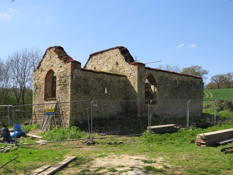
Work is being carried out on the remains of St James's church, presumably to stabilise it and make it safe
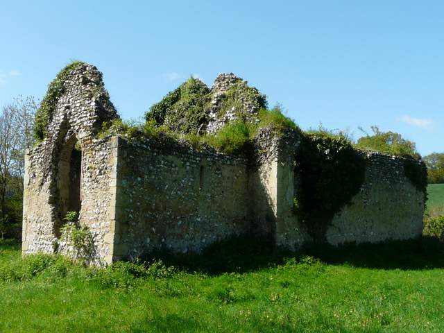
This is what it looked like when I was last here almost three years ago (12/05/12)
The lane through Bix Bottom, heading from the old church
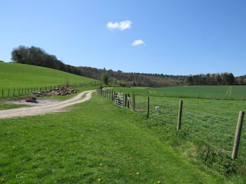
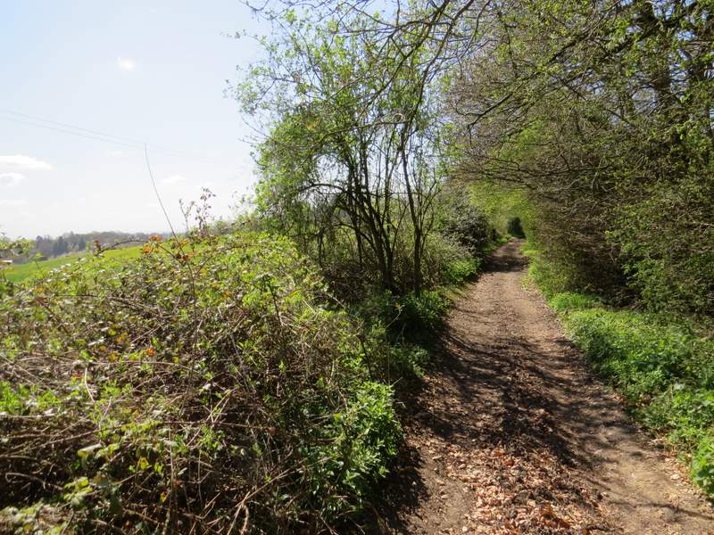
The footpath from Valley End Farm
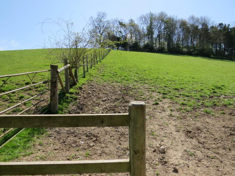
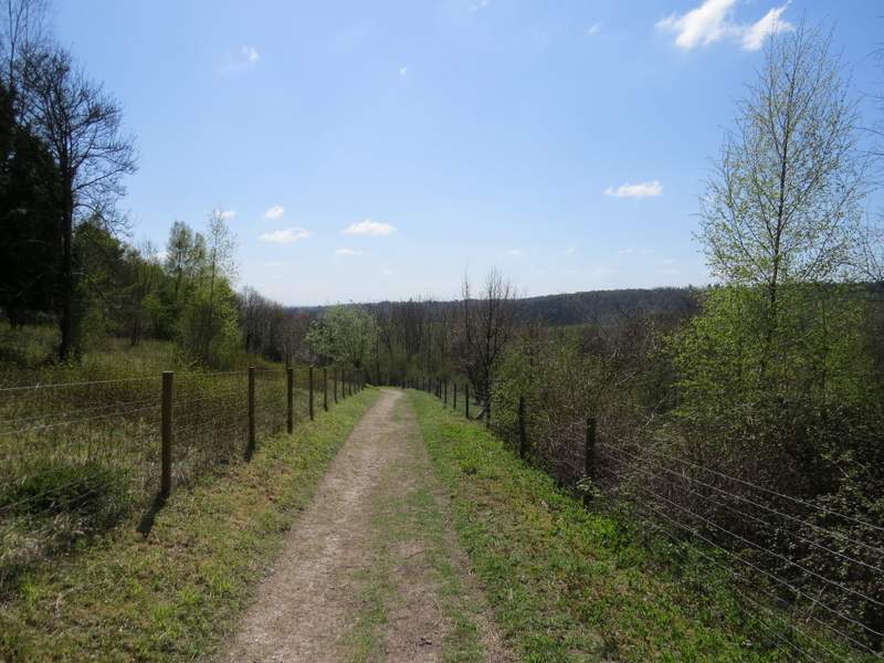
The path to Coney Burrow (curiously the OS map shows it on the other side of the fenceline)
When I reached the wood (I think it's called Coney Burrow, though I'm not sure about the first section of it), I turned round and admired the view back the way I'd come. I then followed the path through the wood, this first bit of the wood being fairly narrow with the path just inside its left edge. There were occasionally views to my left along the continuation of Bix Bottom as it made its way towards Middle Assendon.
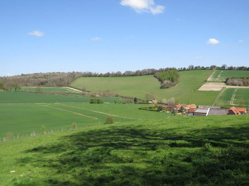
I always enjoy this view, from the edge of Coney Burrow looking back the way I'd come
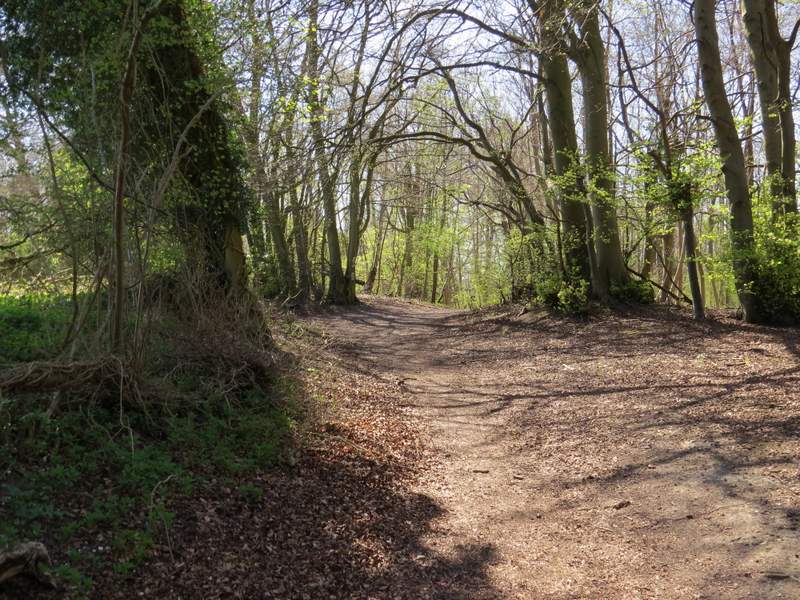
Start of the path through Coney Burrow
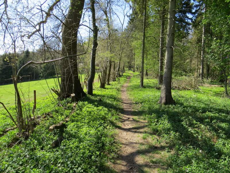
The path through Coney Burrow
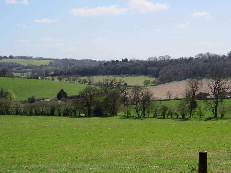
Looking left from the path through Coney Burrow, over part of Bix Bottom