Pete's Walks- Pitstone Hill and Wigginton (page 2 of 4)
If you are considering walking this route yourself, please see my disclaimer. You may also like to see these notes about the maps and GPX files.
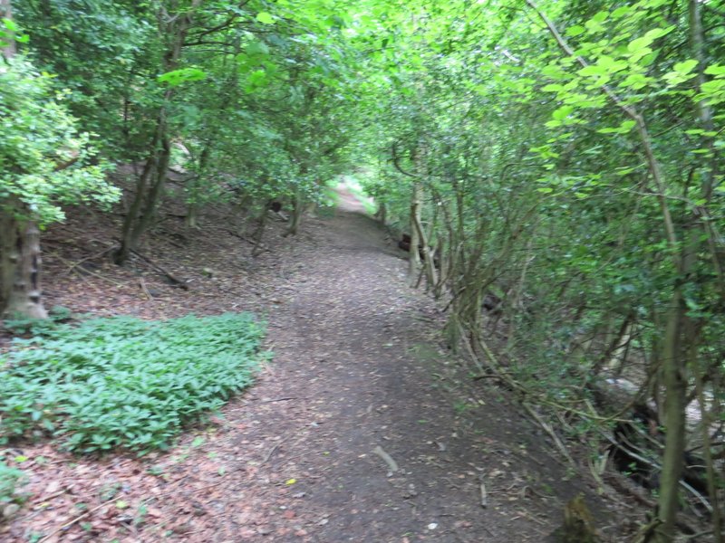
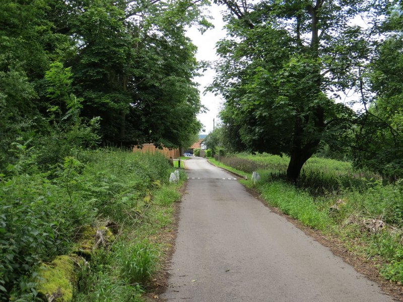
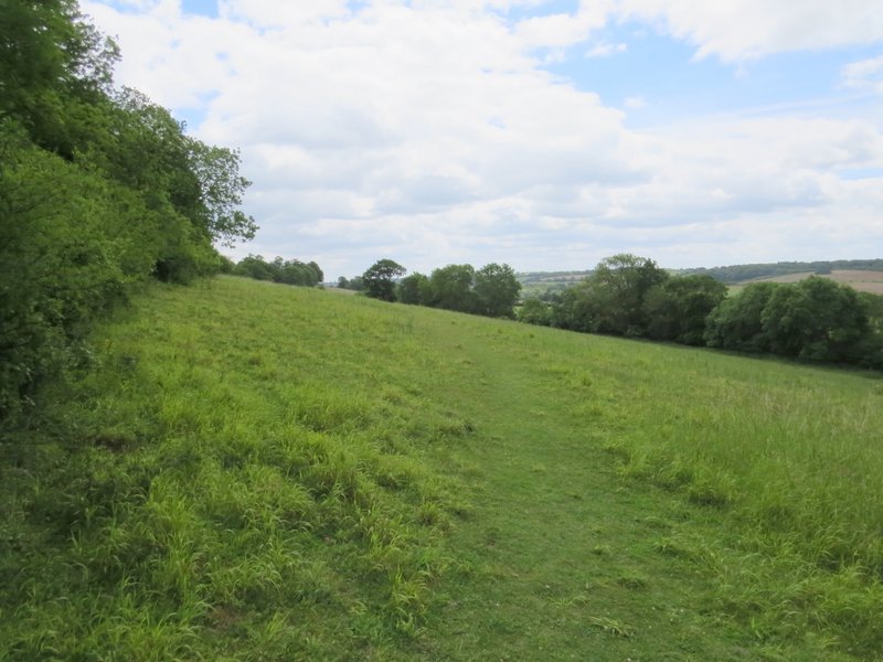
When the bridleway ended at a junction with another bridleway, I turned right. I soon came to another fork, where I again kept right, following the main track down from the Monument to Aldbury. At the end of the bridleway, I turned right for a few yards to reach the centre of Aldbury with its pond and stocks, but then turned left. After a couple of hundred yards a footpath went left, initially along a drive between houses, and then crossing the village allotments. I went through a tall gate on the far side of the allotments, then turned right and followed a narrow path to reach a residential street. I turned left, uphill, then when the street or lane turned left I went straight on, continuing uphill over some grass and passing a bench. The path carried on steadily rising through trees, to emerge by a hairpin bend in a road coming out of Aldbury. There were crowds of people here, obviously cycling fans (well, I can't think of any other excuse for them to be wearing Day-Glo lycra!) and I guessed they were there to watch the final stage of the Aviva Women's Tour (I'd seen in my paper this morning it was going from Marlow to Hemel Hempstead). I squeezed my way between them to go down the short lane that leads to the hamlet of Tom's Hill.
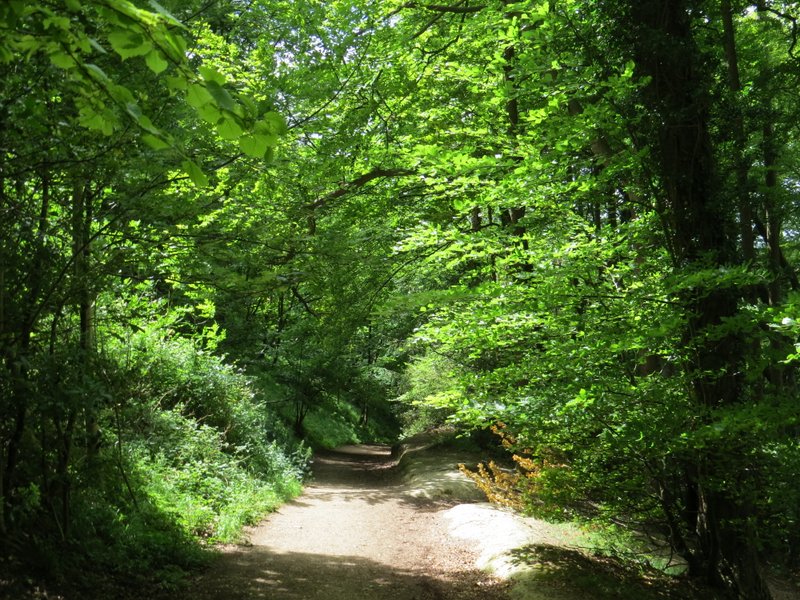
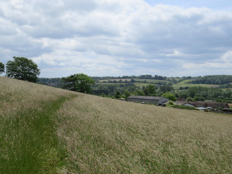
The bridleway going down to Aldbury
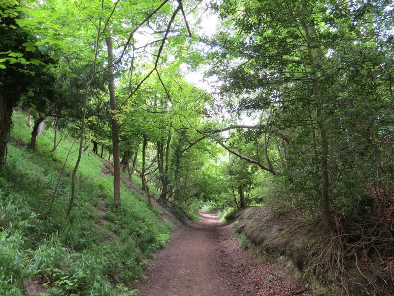
The bridleway going down to Aldbury
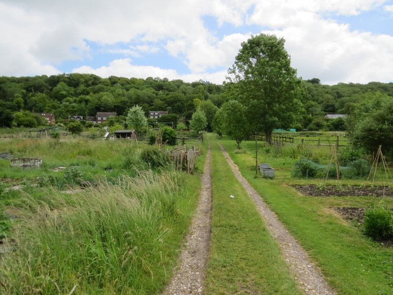
The path through the allotments in Aldbury
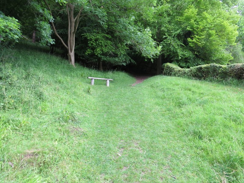
The start of the path up to Tom's Hill
The path to Tom's Hill (sorry about the fuzzy photo)
Approaching the hamlet of Tom's Hill
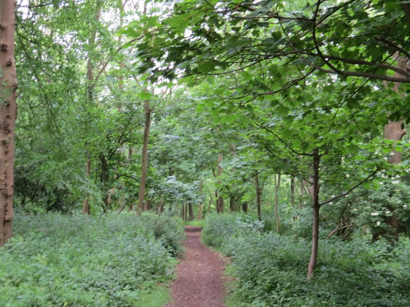
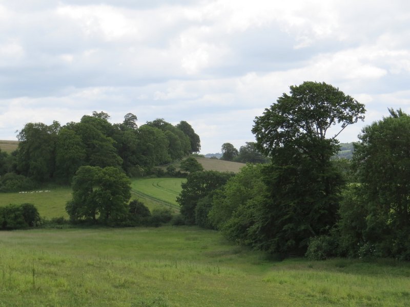
At the end of the lane I continued on across a gravelled area and down a track. Through agate I entered a wood, the path (technically a 'byway' according to the OS map) now dropping down hill through a wood. At the end of the wood I went through a tall gate in a deer fence into a meadow, where I turned left. Over a stile in the corner, I continued diagonally across a flowery meadow, dropping slowly downhill to another stile. The path then ran alongside a hedge and then fence on my right, before going diagonally across another meadow to reach Norcott Court Farm.
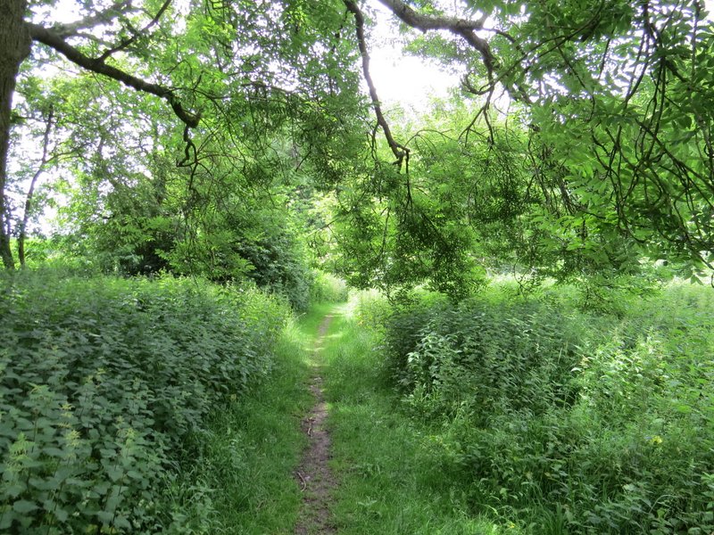
The path from Tom's Hill
The path from Tom's Hill
The path to Norcott Court Farm
The path to Norcott Court Farm
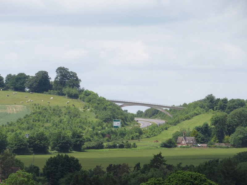
Looking left a zoomed-in shot of the footbridge taking the Ridgeway over the A41 - I'd cross this bridge later on
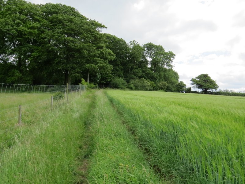
The path to Norcott Court Farm
Approaching Norcott Court Farm
Here I went over a couple of stiles, and went left out of the farm yard, but almost immediately turned right down a track. After a hundred yards or so I turned right, with some empty paddocks on my right (I'd just seen the Alpacas that normally reside there in another field). After a short distance I turned left, the path crossing a corn field to reach a footbridge over a railway line, then continuing across another cornfield to reach a lane. I turned right and followed the lane, which soon crossed the Grand Union Canal by a lock and reached a main road in the hamlet of Cow Roast.
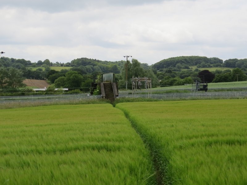
The path from Norcott Court Farm approaching the bridge over the railway
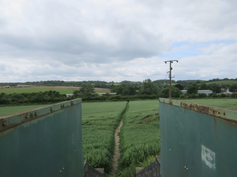
The path continuing towards Cow Roast, from the railway bridge
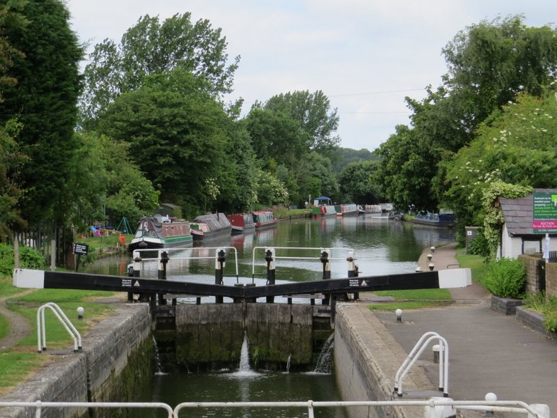
The Grand Union Canal at Cow Roast