Pete's Walks- Pitstone Hill and Wigginton (page 3 of 4)
If you are considering walking this route yourself, please see my disclaimer. You may also like to see these notes about the maps and GPX files.
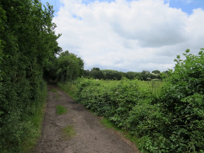
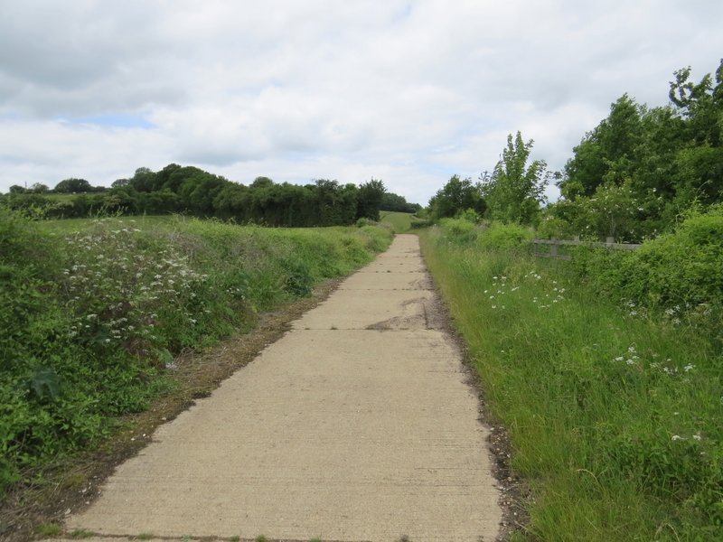
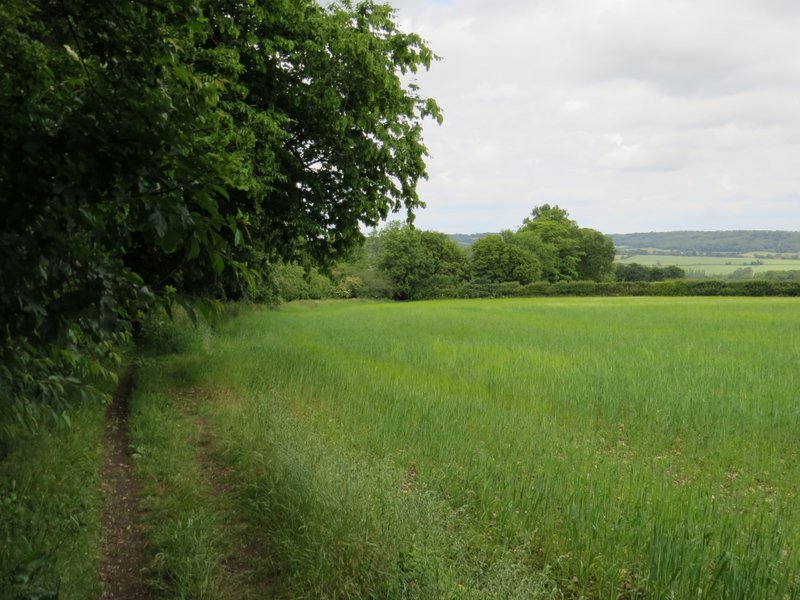
I crossed the road and went down a track that started to the right of the Cow Roast Inn (this was another 'byway' according to the OS map). I soon passed a hockey club on my left, the track then continuing between hedges to eventually pass a cottage on my right and reach a lane. I went a few yards left along the lane to pass under the A41 dual carriageway, then took a footpath on my right that started along a concrete farm track. Shortly after this turned half-left, I took a footpath that went left across a corner of a corn field. It continued along the bottom of a valley, through some large horse paddocks, to reach Lower Wood.
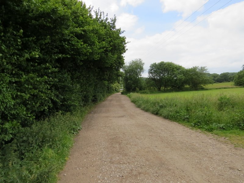
The track from Cow Roast
The track from Cow Roast
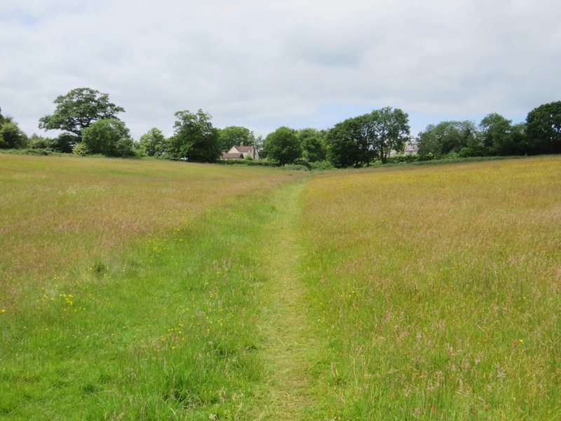
Start of the path to Wigginton
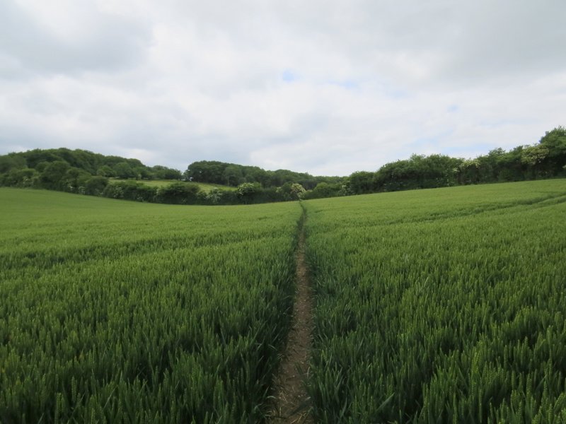
The path crossing the corner of a corn field
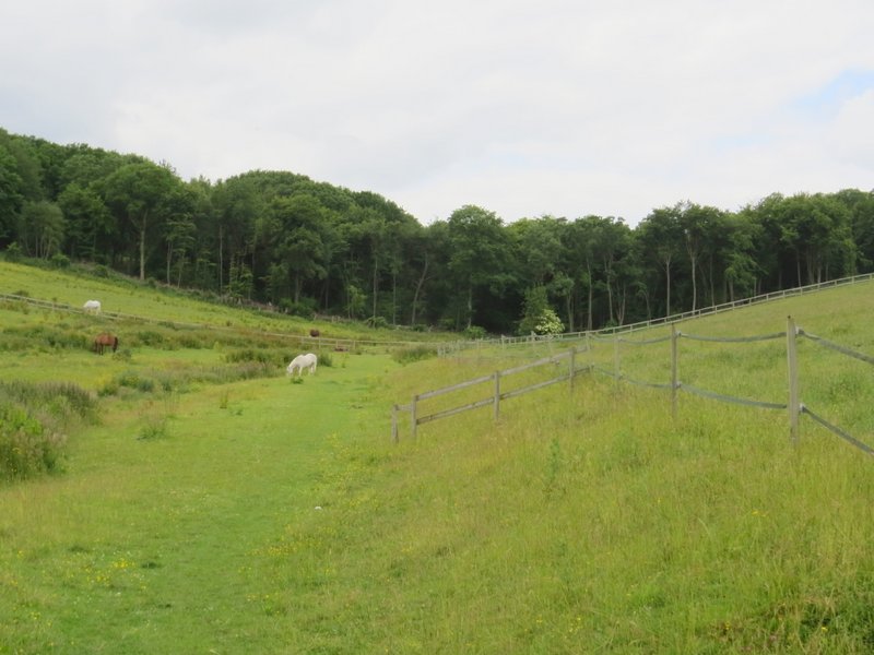
The path continuing through some horse paddocks
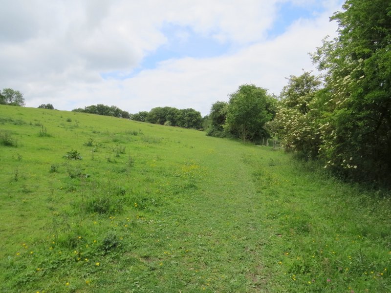
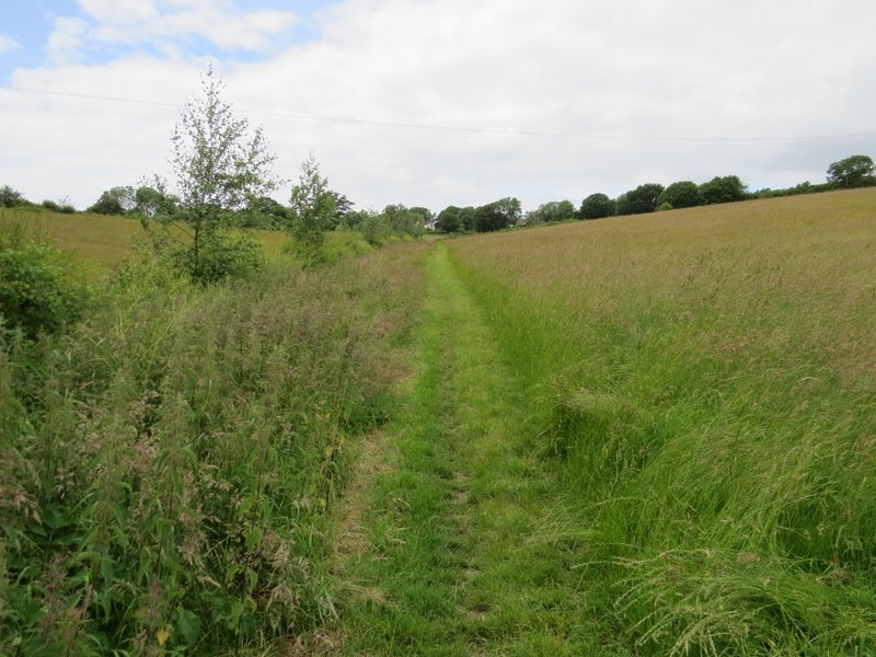
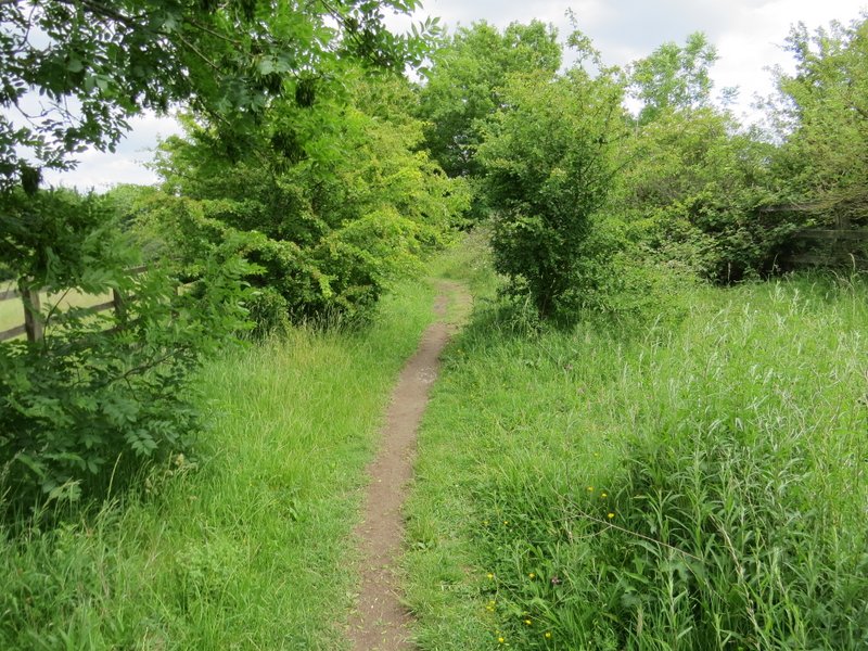
I went straight on through Lower Wood (the Chiltern Way, which I'd been following since leaving Aldbury, soon turned left at a path junction), then continued along the path beside a hedgerow on my right in a large pasture occupied by four brown horses. The path then carried on through two meadows of long grass - this was somewhere where I'd hoped to see lots of butterflies, but it was now a bit windy and the sun had gone behind some clods so all I saw were a few Meadow Browns and one Common Blue. I was confused when, after the second grassy meadow, the path continued between short hedges with young trees over the hedge on the right - I remembered this as being a small grassy area. I soon realised that the low hedge on the right was new, and so were most of the trees.
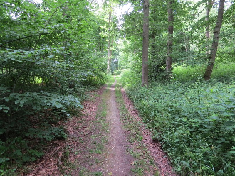
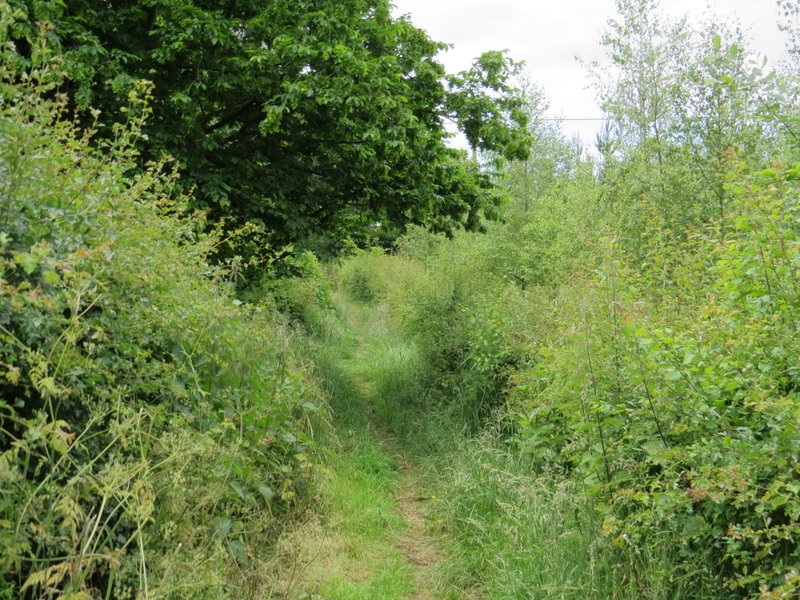
The path continuing through Lower Wood
The path in the horse field after Lower Wood
The path continuing through a meadow
The path continuing through another meadow, approaching Wigginton
The low hedge on the right and the trees planted beyond it are new - this used to be a grassy meadow
On reaching a road in Wigginton, I crossed it and went a short distance left, before turning right into the car park for a sports field and play area. I turned sharply right, almost doubling back on myself, and followed a surfaced path which led past the playing field and on to a village street. Here I crossed over and continued down a street opposite, to reach another playing field. I continued along the path to a corner of the playing area, then turned left. After having my packed lunch on a bench here (I've had my lunch stop here several times before), I continued and left the playing field at a gate, where I continued down the road opposite. Immediately past the last house on the right, I turned right along a footpath - this was part of the Ridgeway national trail, which I'd now be following all the way back to Pitstone Hill.
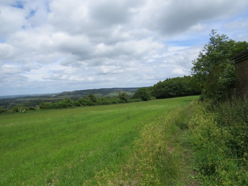
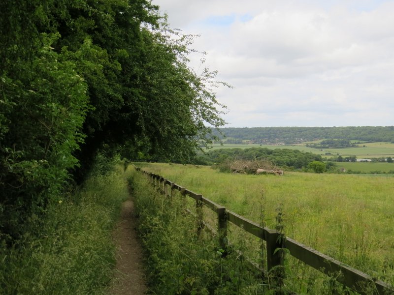
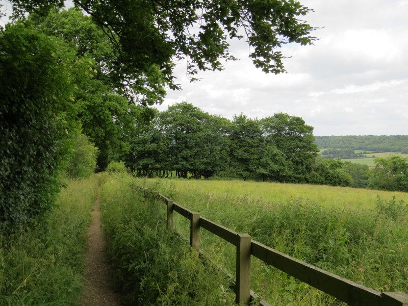
There was a good view to my left now, over part of the Vale of Aylesbury and towards Pitstone Hill (overtopped by Ivinghoe Beacon). The path followed hedges or fences through three or four fields to reach a lane called The Twist. Here I went a few yards right, then the Ridgeway continued down a path on the other side, between a hedge and a wooden fence on my right. There were nice views over the valley called the Tring Gap (which I'd just crossed and was about to re-cross), towards the wooded slopes of Ashridge above Aldbury. After going through two gates, the path soon crossed the impressive footbridge over the A41 and shortly afterwards reached the old A41 (now the A4251, but originally the Romans' Akeman Street).
The start of the path from Wigginton to the lane called The Twist
The path from Wigginton to the lane called The Twist
The path from Wigginton to the lane called The Twist (which is behind the hedgerow running across the photo)
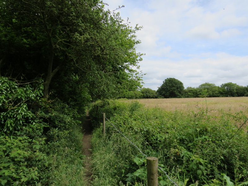
The path from The Twist to the old A41 (now the A4251)
The path from The Twist to the old A41 (now the A4251)
The path from The Twist to the old A41 (now the A4251) - this is just after crossing the footbridge shown in a previous photo