Pete's Walks- Pitstone Hill and Wigginton (page 4 of 4)
If you are considering walking this route yourself, please see my disclaimer. You may also like to see these notes about the maps and GPX files.
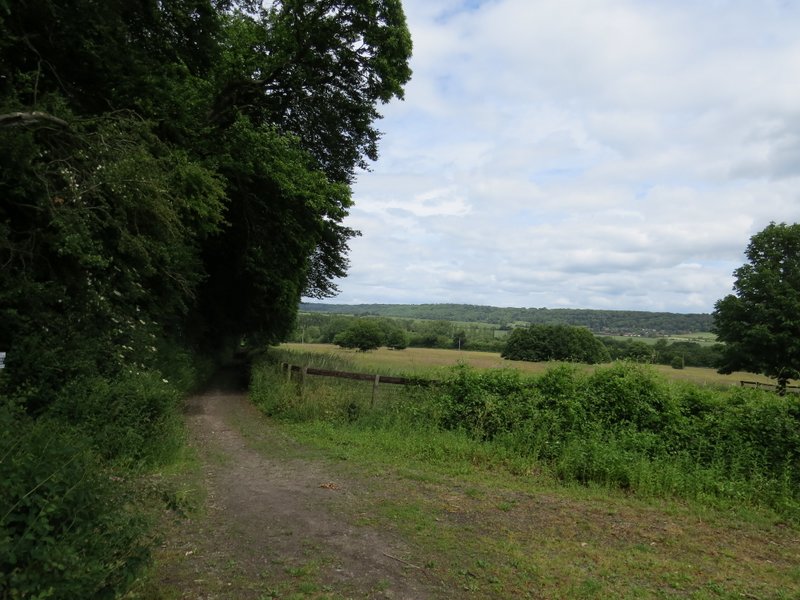
I turned right along the road for a short distance, crossed over where there were some bollards in the middle of the road and continued down a footpath starting on the other side, a little further right. The fence on the right was now overgrown with foliage, making the first section of the path feel much more enclosed than I remembered. Further on it continued between wooden fences either side, and eventually reached a lane. Here I turned left and soon came to a road junction on the edge of the hamlet of Tring Station. I turned right, crossing the Grand Union Canal and passing the old hotel and the station itself on my right, and followed the road out of the other end of the hamlet. I went strat on where a road came in on the left, but a little further on turned left along a concrete farm track.
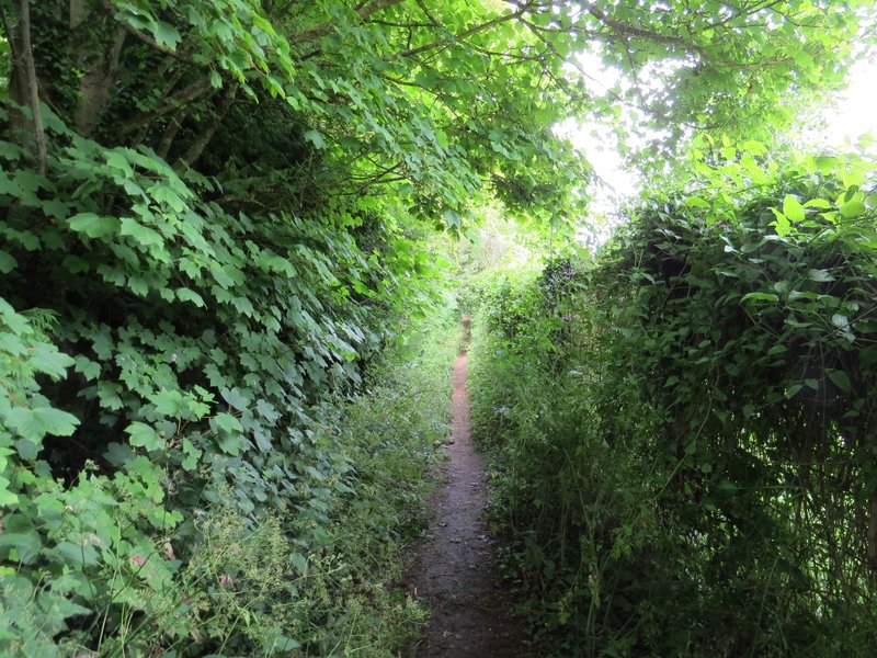
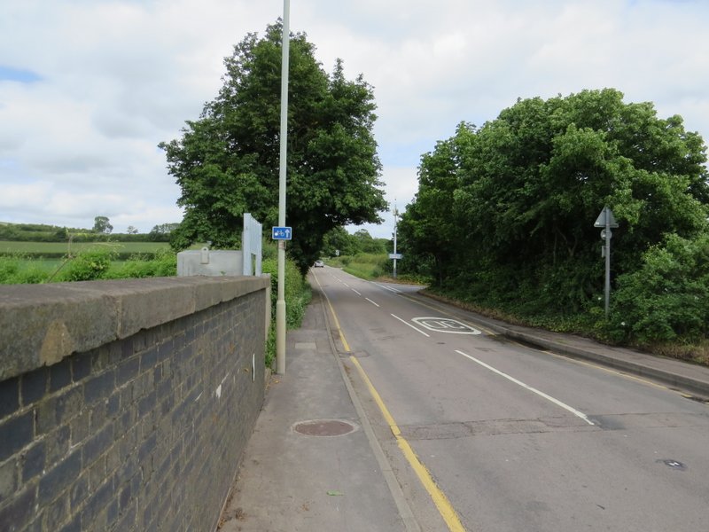
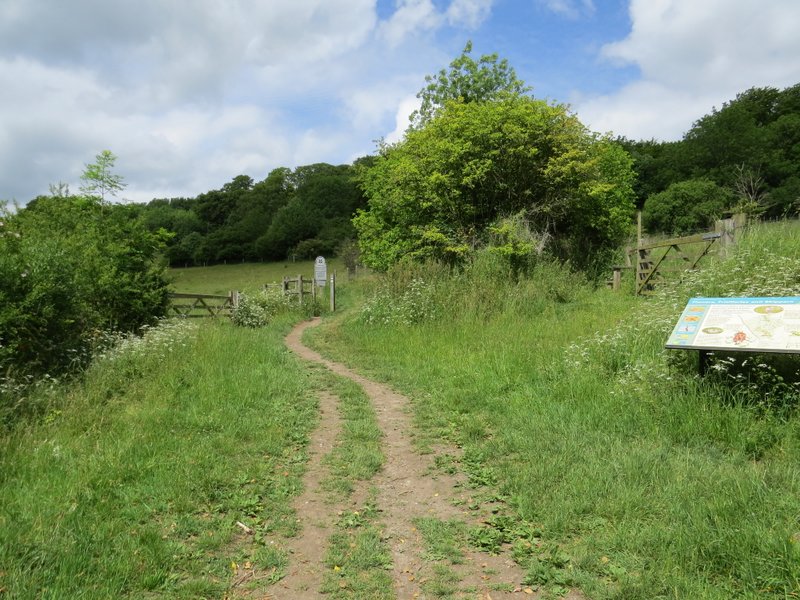
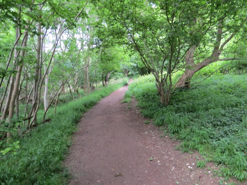
The path from the A4251
The path from the A4251
The path from the A4251
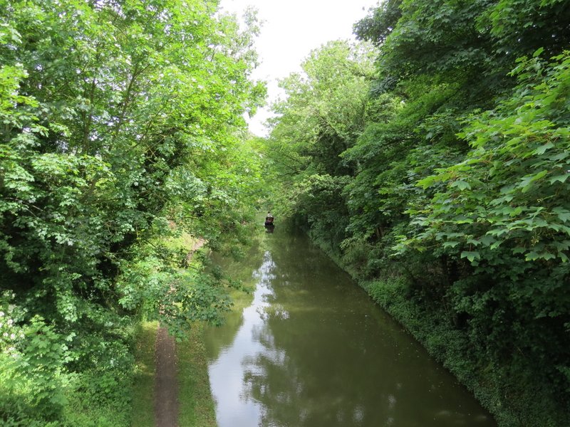
The Grand Union Canal at Tring Station
The road leaving Tring Station
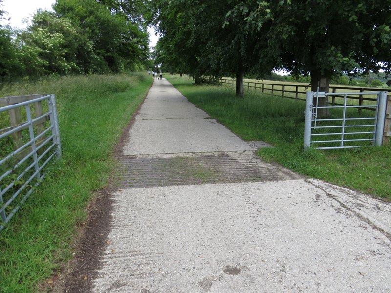
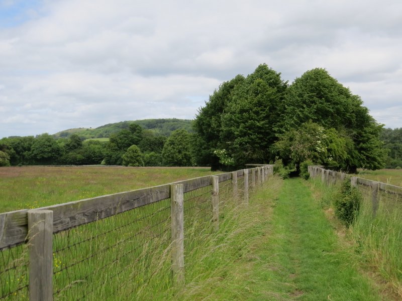
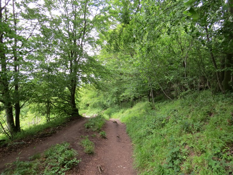
The farm track
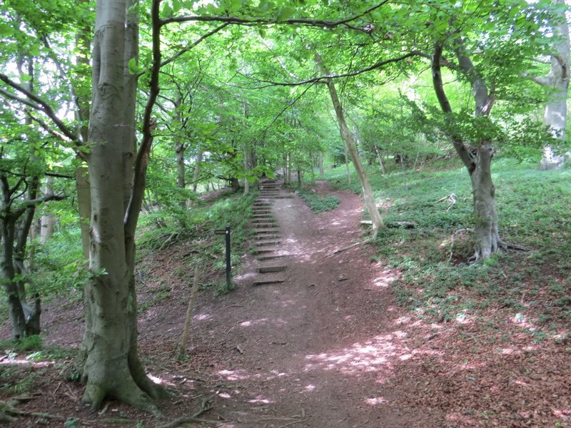
Where a the concrete track turned left, I went straight on and in a few yards reached a bridleway crossroads, where I remained on the Ridgeway by turning left. The bridleway ran for several hundred yards between mature hedgerows, then when a path came in on the left it went half-right between two open grassy areas within the Aldbury Nowers nature reserve. On entering a wood, the Ridgeway turned right, initially going up a flight of 'steps'. After passing the edge of one of the grassy areas, it continued through the woods of Aldbury Nowers for over half a mile.
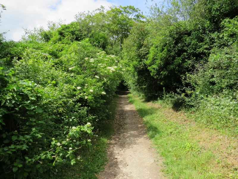
The bridleway to Aldbury Nowers
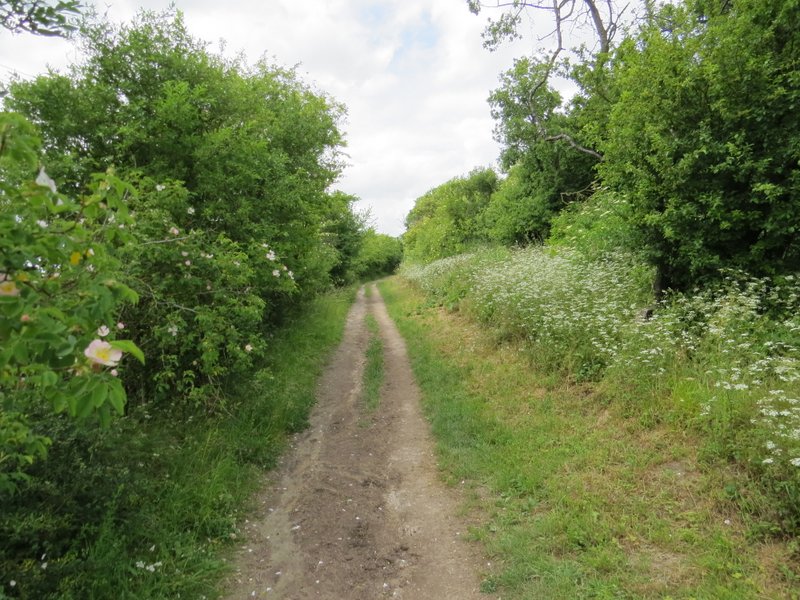
The bridleway to Aldbury Nowers
Aldbury Nowers nature reserve
The Ridgeway, running along a stretch of Grim's Ditch
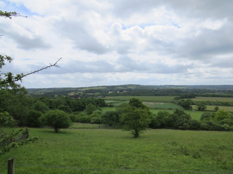
Looking left from Aldbury Nowers nature reserve, back across the Tring Gap towards Wigginton
The Ridgeway, continuing through part of Aldbury Nowers nature reserve
Aldbury Nowers
Aldbury Nowers
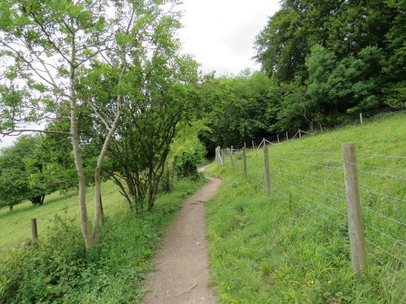
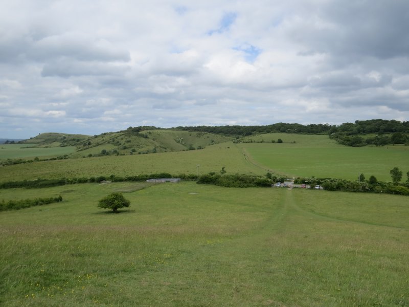
On leaving the woods, the path continued gently uphill over the grassy western slopes of Pitstone Hill (here, as in the woods, the Ridgeway was following part of an ancient earthwork called Grimm's Ditch). At the top of the hill, the path turned half-right and gradually descended - there were many orchids in the grass here, but as elsewhere they were not yet fully flowering. Finally, I diverged from the Ridgeway slightly by going up and over a slight 'hillock', to reach the car park on its far side.
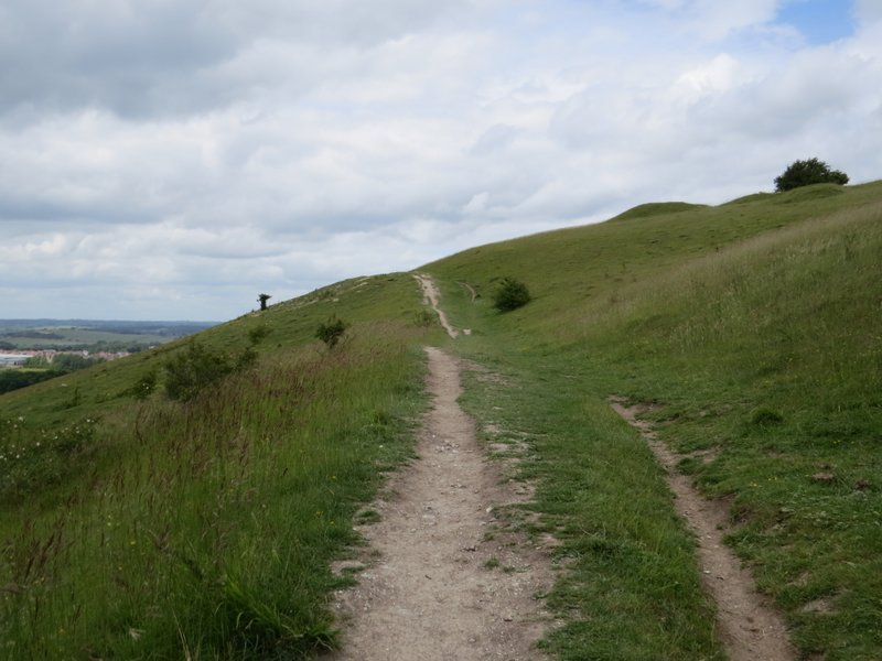
The path up the side of Pitstone Hill
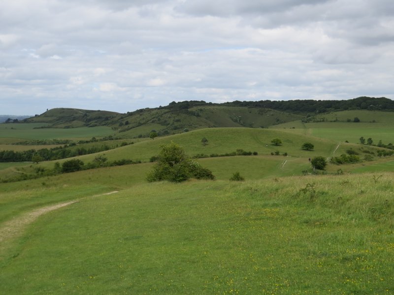
The Ridgeway continuing from Pitstone Hill - the car park is behind the hillock in the middle of the picture, with Steps Hill beyond and Ivinghoe Beacon to the left
The view from the hillock
I've done this walk many times now, but I still enjoyed it very much. I now prefer doing it in this clockwise direction, because it means getting the three quite big ups and downs that are close together over and done with at the start of the walk, instead of leaving them to the end when I'm more tired. There are lots of good views on the walk, and a good mixture of fields, woods and open downland. I always hurry through Aldbury as it's usually very busy with tourists, but for a first-time visitor there it's a very picturesque and interesting village. I was disappointed with the flowers and butterflies I saw today, but I'd put that down to the strange Spring and early Summer we've had, largely dry and unusually cool. The highlight for me today was definitely photographing the Dark Green Fritillary at the start of the walk!