Pete's Walks- Wigginton and Drayton Wood (page 2 of 3)
If you are considering walking this route yourself, please see my disclaimer. You may also like to see these notes about the maps and GPX files.
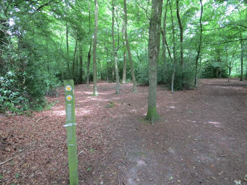
I turned left along the bridleway, before taking a path on the right that entered another part of Drayton Wood and headed northwest.
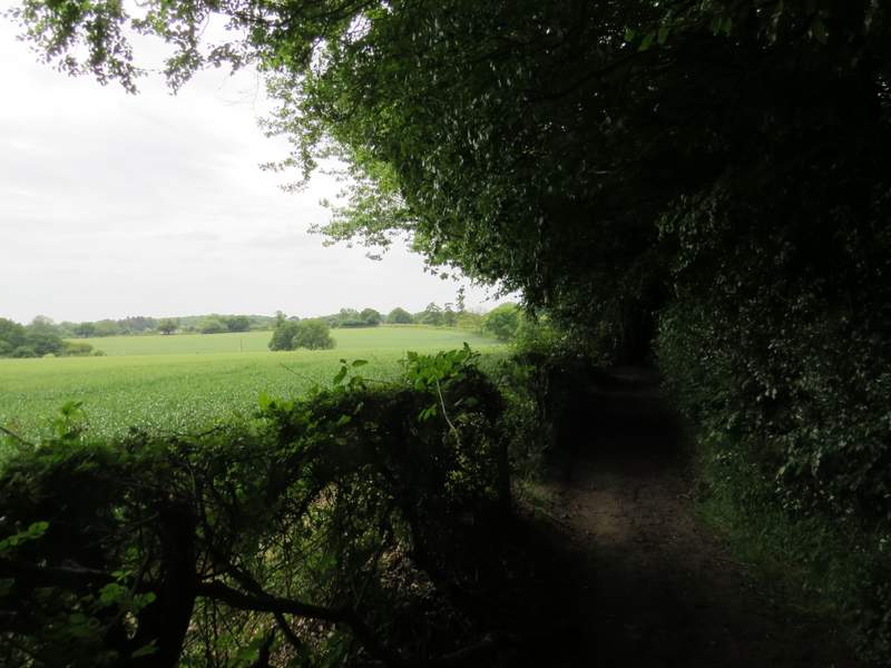
The bridleway on the edge of Drayton Wood (heading towards Buckland Common)
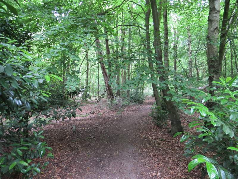
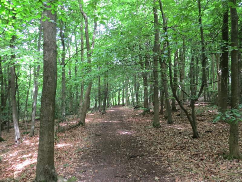
The path going northwest through Drayton Wood
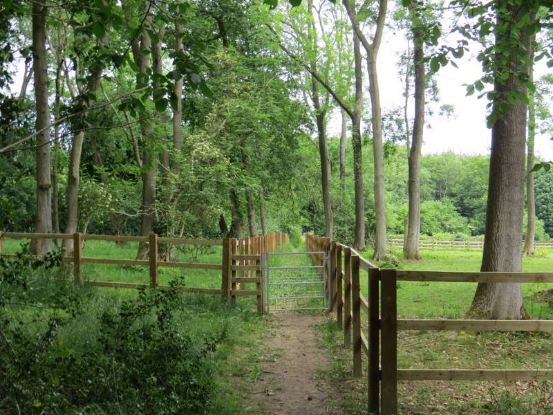
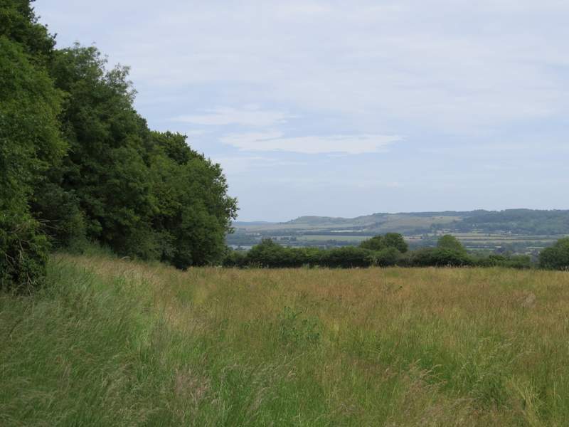
I continued straight on at a couple of path junctions and eventually left Drayton Wood, the path carrying on between the wooden fences of paddocks to bring me back to Shire Lane. Across the lane, a path continued through a small wood and crossed part of a corn field. It then went through a tree belt (which followed the line of part of the ancient earthwork called Grim's Ditch), beyond which I went half-right and crossed another corn field to reach a track called Brown's Lane. Here I turned left, to reach the hamlet of Hastoe at a road junction.
The path going northwest through Drayton Wood
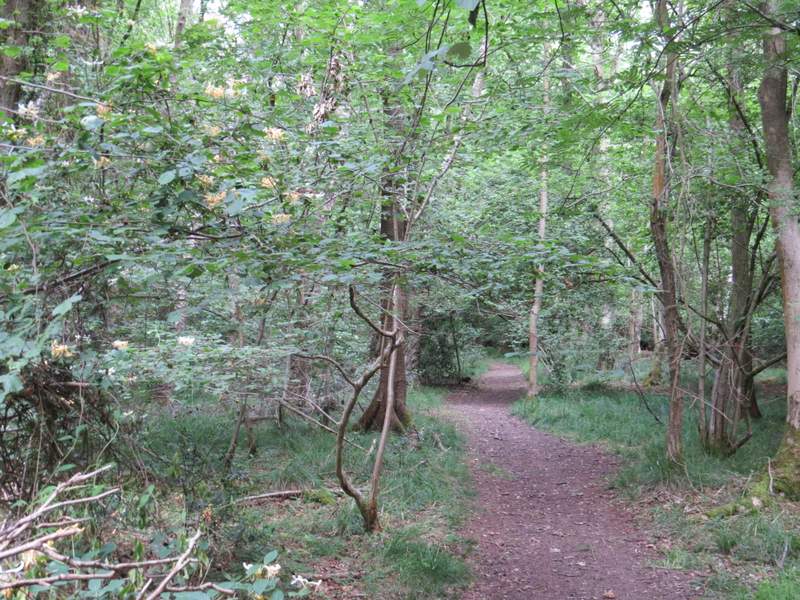
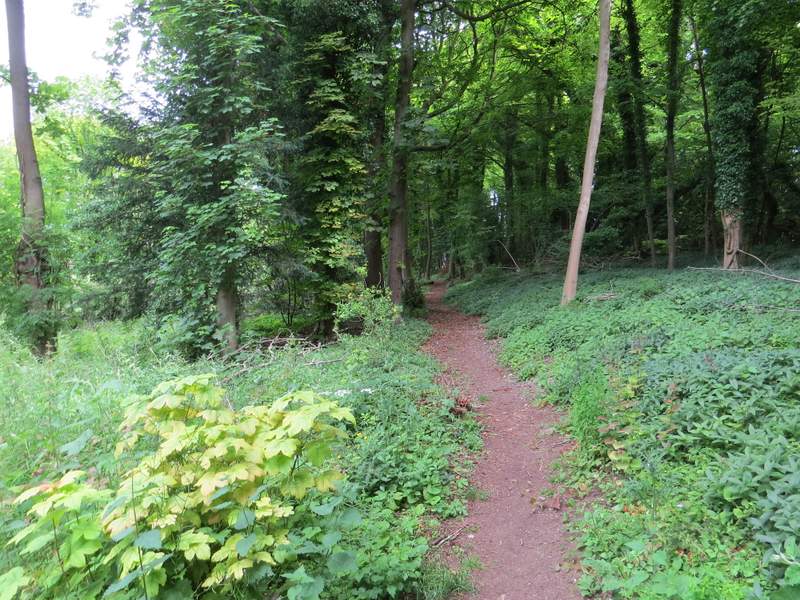
The path leaving Drayton Wood to reach Shire Lane
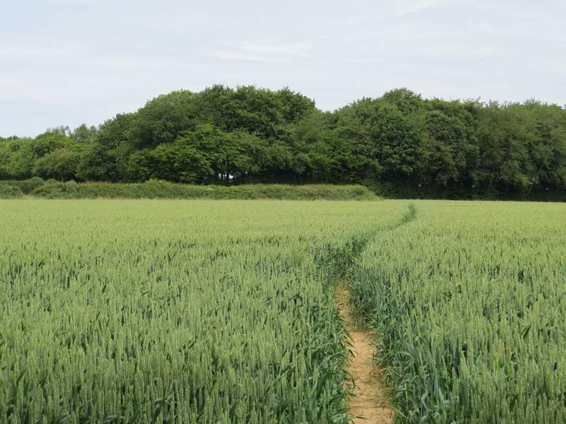
The path on the other side of Shire Lane - the line of trees follow the course of an ancient earthwork called Grim's Ditch
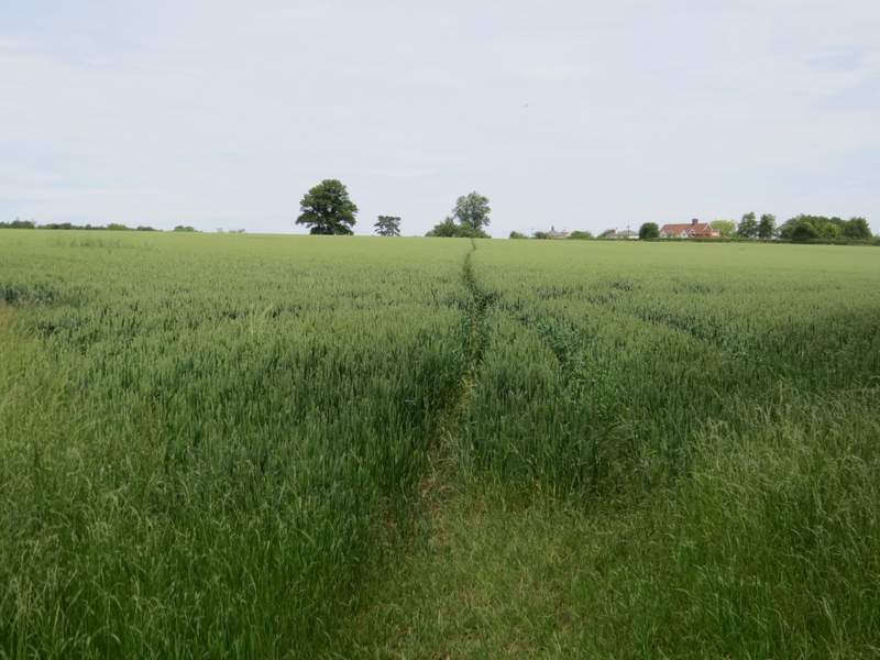
The path continuing towards Browns Lane
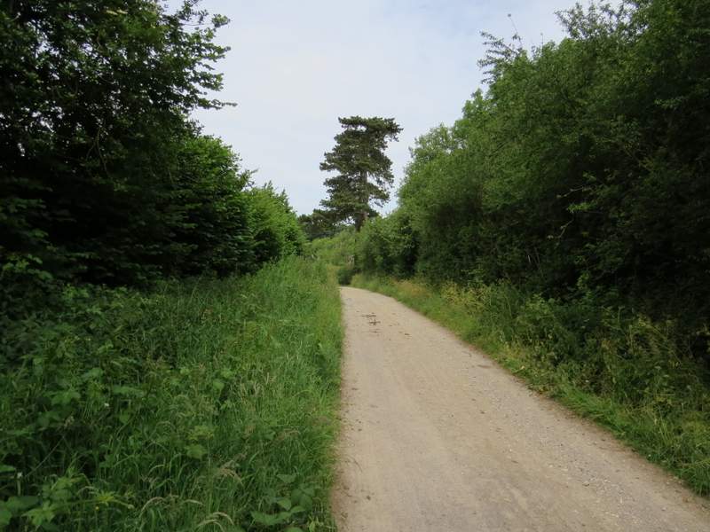
Browns Lane, approaching Hastoe
I went slightly left as I crossed the road in front of me, and went down a gravel drive (shown as a byway on the OS map). At the end of the long straight drive, paths or byways went either side of a cottage - I went right, then almost immediately turned right again into Grove Wood only to then equally as quickly go left at a path fork. The path descended very slightly through the wood, merging with another path from the left at one point. At a waymark on a post, I went a few yards right to exit the wood, then turned left alongside what was now Stubbing's Wood. At the corner of the wood, I stopped to eat my packed lunch on a conveniently sited bench with a view over Tring towards Ivinghoe Beacon. It was now 1pm.
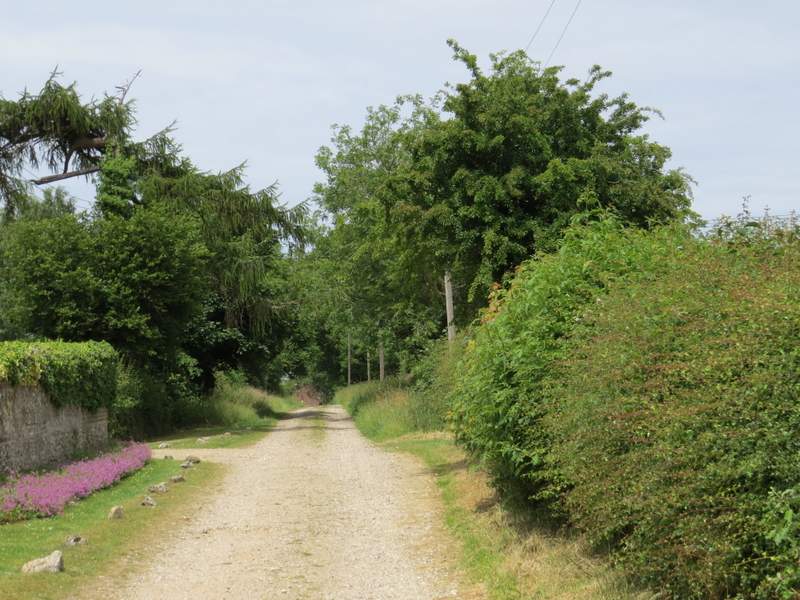
The byway at Hastoe, heading to Grove Wood
At this fork in Grove Wood, I took the left path
The path through Grove Wood
The path through Grove Wood (or possibly now Stubbing's Wood)
The path beside Stubbing's Wood
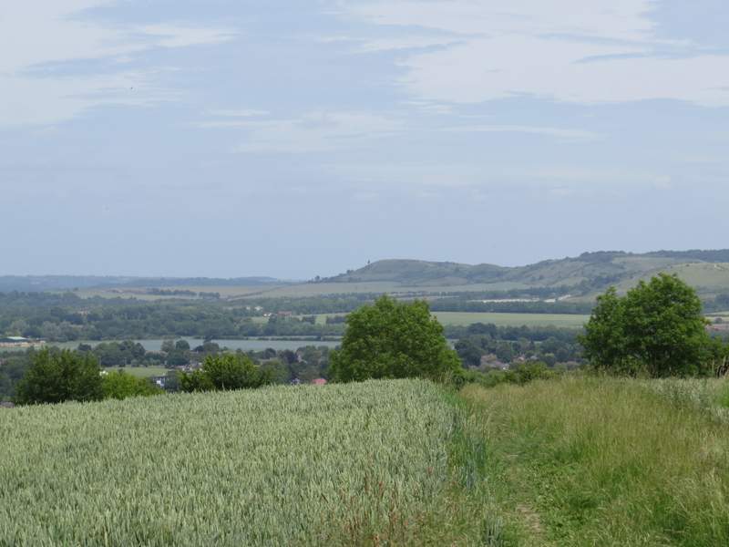
Zoomed-in shot of the view ahead from my lunch-spot on the corner of Stubbing's Wood, looking towards Ivinghoe Beacon