Pete's Walks- Wigginton and Drayton Wood (page 3 of 3)
If you are considering walking this route yourself, please see my disclaimer. You may also like to see these notes about the maps and GPX files.
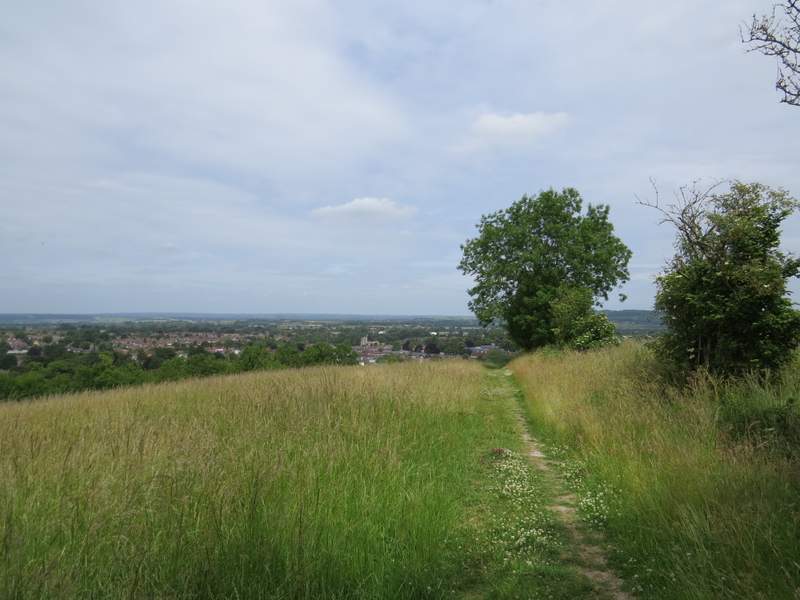
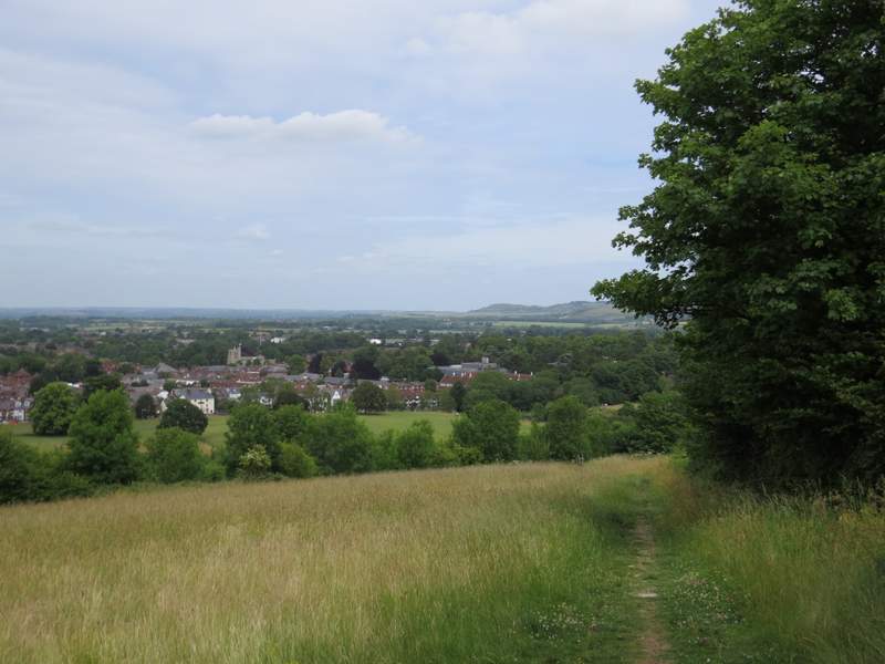
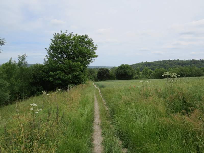
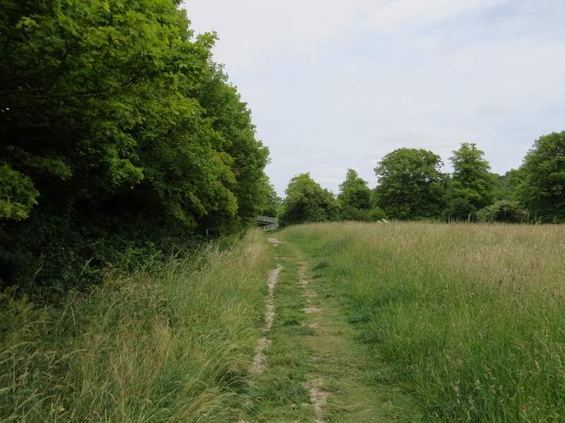
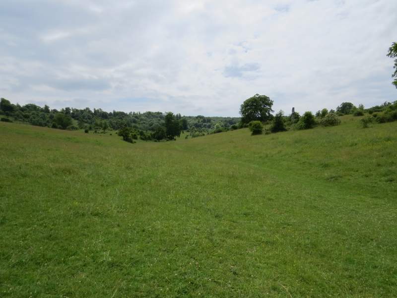
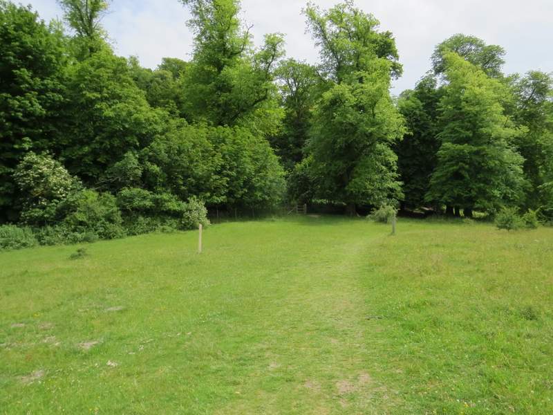
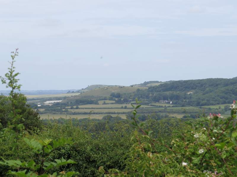
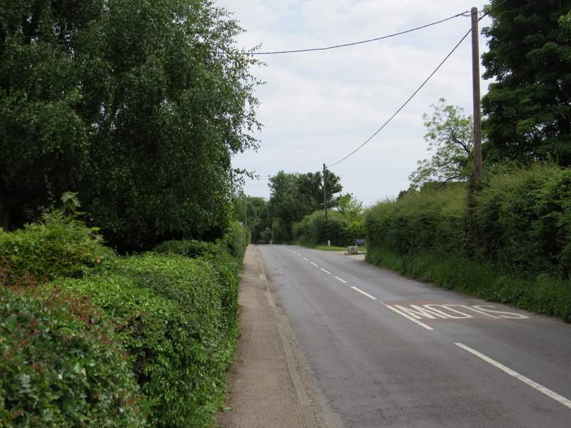
Lunch over, I continued along the path as it crossed a corn field and then dropped downhill through a grassy meadow where I saw several butterflies - mainly more Meadow Browns, but also some Marbled Whites and Ringlets. I'd seen numerous Meadow Browns already, as well as some Speckled Woods, a Small Tortoiseshell and a Red Admiral (the one back in Wigginton). This was my favourite section of the walk, with fine views ahead over Tring, part of the Vale of Aylesbury, Pitstone Hill and Ivinghoe Beacon. The path ended at a path junction where I went right, now with the A41 dual carriageway in a cutting just to my left. I then crossed a lane close to the edge of Tring (the Natural History Museum at Tring was just a short distance to my left - I spent a very enjoyable and educational morning there about a month ago), and continued along a permissive path beside a flower-strewn meadow to reach a gate into Tring Park.
The path from Stubbing's Wood
The path from Stubbing's Wood
The path continuing beside the A41 dual carriageway
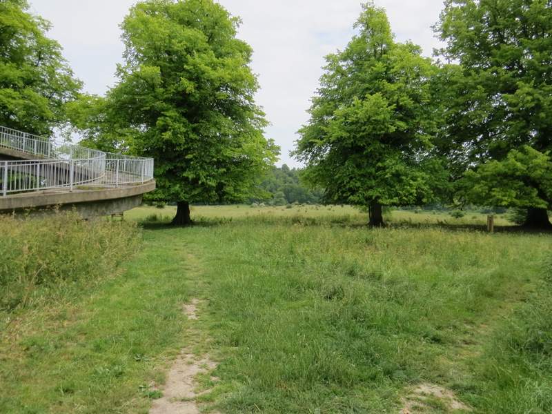
The permissive path to Tring Park
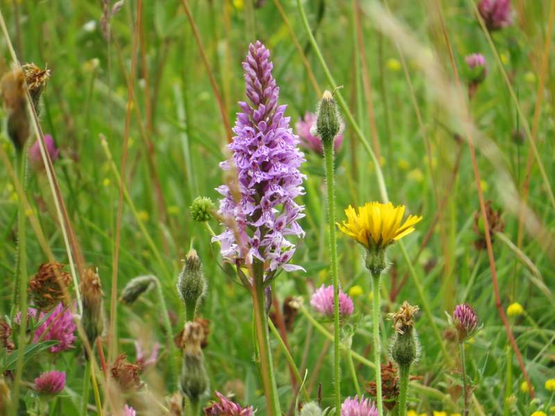
Flowers beside the permissive path, including a Common Spotted Orchid
Just beyond a notice board, two paths forked right (starting almost next to each other) and I took the second of them, heading towards a white mark where the path climbed a chalky slope. There were several butterflies here as I crossed the park, including more Marbled Whites, and I spotted a few Common Spotted Orchids too.
Near the entrance to Tring Park
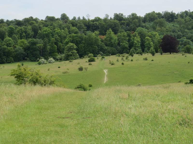
The path across Tring Park
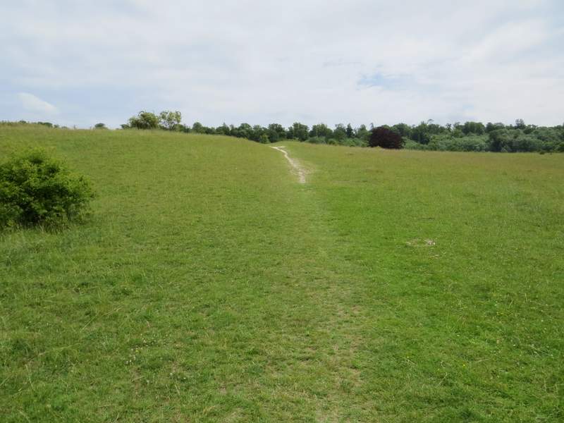
The path across Tring Park
Looking right from the path across Tring Park
The path across Tring Park
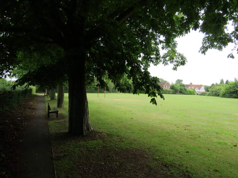
On the far side of the park, the path turned half-left and rose up a wooded slope to reach an Obelisk where several paths met. I took the second path on my right, going straight uphill through the trees. At the top of the slope, I left the wood and Tring Park, passing some cottages and reaching a road entering Wigginton from my left (Fox Road). I turned right and followed the road to where it turned sharply left. Here I crossed over and went through a gate into a playing field, turning left and then turning right in the next corner (I had my lunch on a bench here during my last walk). On leaving the playing field, I continued down a street to its end, where I crossed another street and continued down a path that took me to a second playing area and my parked car.
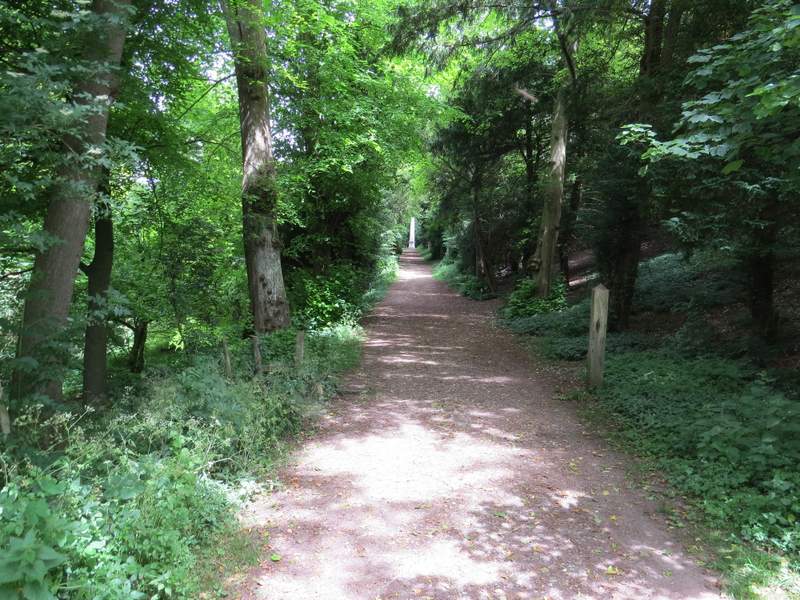
The same path continuing up to the obelisk
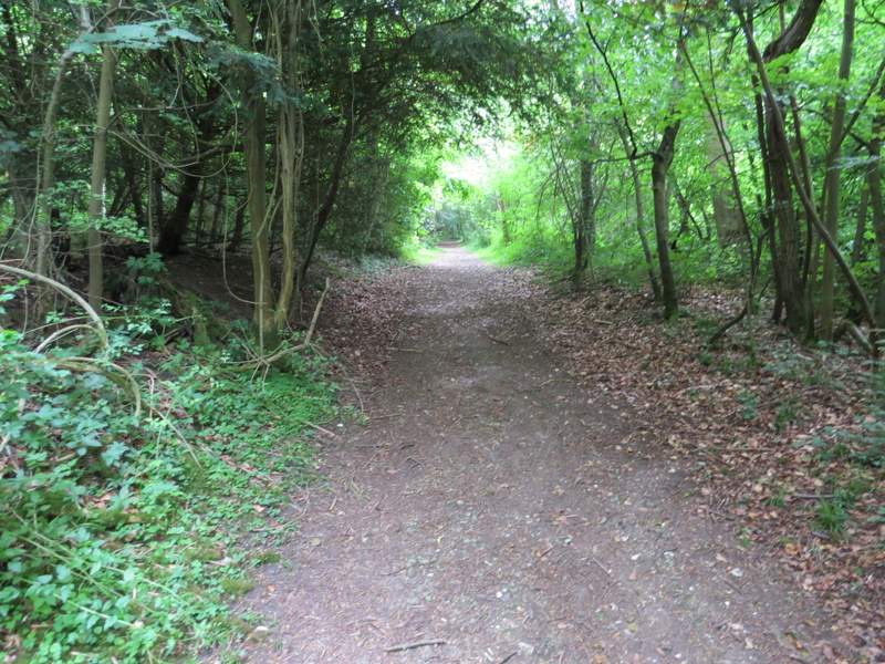
The path from the obelisk up to Wigginton
Ivinghoe Beacon, Pitstone Hill and Aldbury Nowers from the edge of Wigginton - from this angle, the chalky path on the side of Pitstone Hill seems to continue up Ivinghoe Beacon, which is actually about a mile and a half away
Fox Road, Wigginton
The first playing field, Wigginton
This was a very enjoyable walk. This route is rapidly becoming a favourite of mine, when I can't walk far and don't want to travel too far from my home to the start of the walk. It has a lot of wooded sections, but with the odd stretch of field paths for variety. But the highlight is the descent from Stubbing's Wood towards Tring and then through Tring Park. Most circular walks I'd be happy to do in either direction, but this one is an exception to that rule, I'd only want to walk it in this clockwise direction. Going the other way, I'd only get the best views by stopping and looking back as I climbed towards Stubbing's Wood - there would be no views on the descent into Tring Park, as that is through trees.