Pete's Walks- Alternative Four Hills Walk (page 4 of 6)
If you are considering walking this route yourself, please see my disclaimer. You may also like to see these notes about the maps and GPX files.
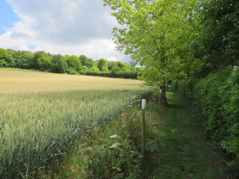
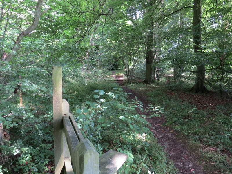
I followed the drive from Solinger House all the way to its end, a distance of about half a mile. Since I reached Whiteleaf Hill there had been some large and ominously dark clouds in the sky - I met a walker coming the other way who commented on whether we would miss the rain. At the end of the drive I crossed a road and continued down the drive to Dirtywood Farm (named on the OS map, there is an second home there and only its name is at the start of the drive - unfortunately I've forgotten what it is). On reaching the grounds of the farm, the path now goes left and follows a hedge all the way round to the far side of the farm, before continuing beside a hedgerow to reach a wood (I always hoped this was called Dirty Wood like the farm, but it's actually Widnell Wood according to the Google map).
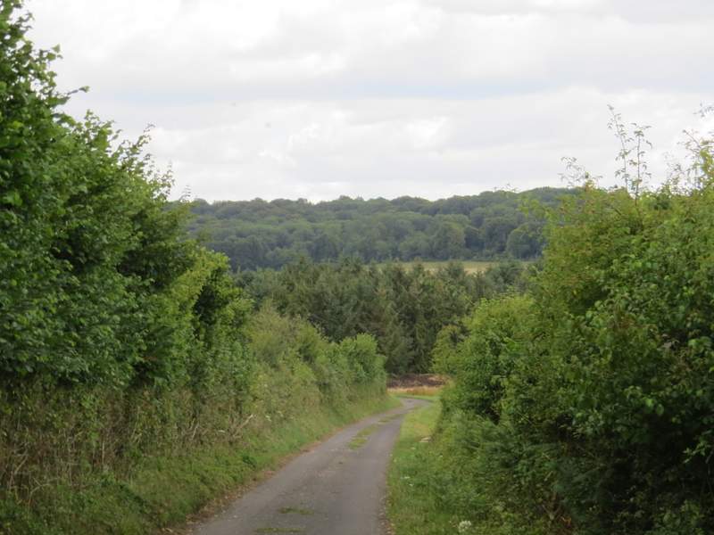
The drive from Solinger House
The drive from Solinger House
The drive from Solinger House
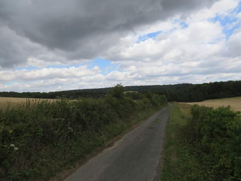
The drive to Dirtywood Farm
The path continuing from Dirtywood Farm
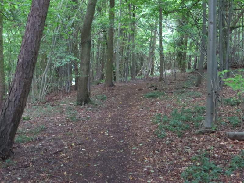
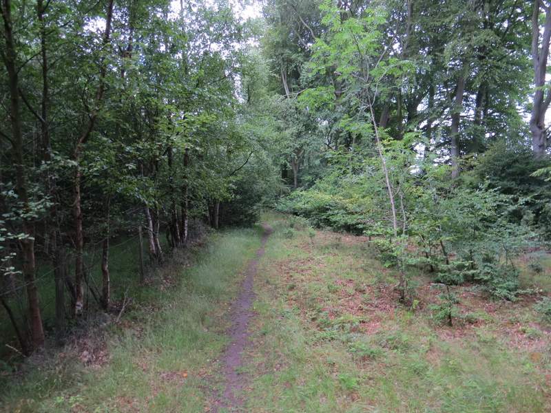
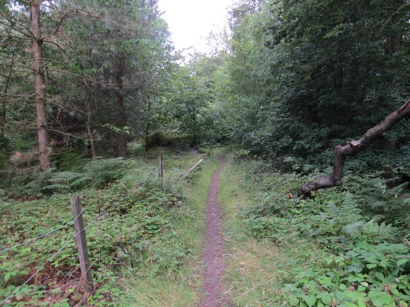
On entering the wood, the path joined a track - I ignored a level path branching right but then a few yards further on took a second path going right and rising gently up the wooded slope (looking carefully there was a yellow arrow on a tree on the right near the start of this path, but it was almost obscured by foliage). Towards the top of the slope I came to a path junction, where I turned very sharply left. The path continued through the wood for about a third of a mile, until I came to a path T-junction where I turned right. After a short distance I came to another junction where I took the rightmost-path and a few yards further on again kept right at a path junction. I was now going uphill through Hengrove Wood, and the path eventually emerged near the end of an old lane.
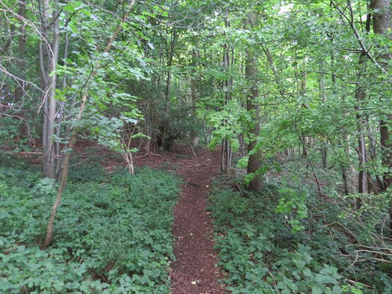
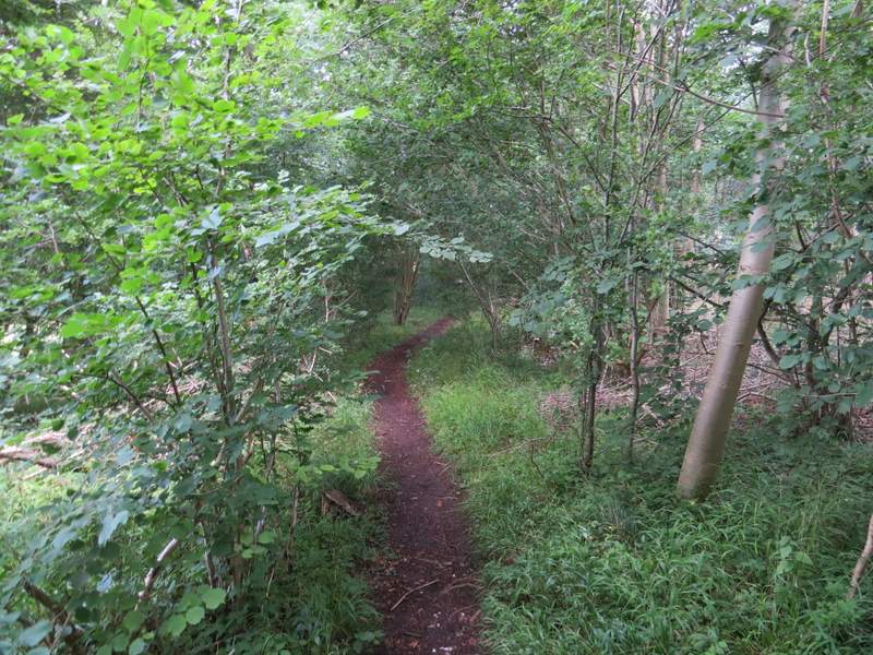
The path continuing through Widnell Wood (named on the Google map but not on the OS map)
The path in Widnell Wood, immediately after I turned sharply left at a junction
The path in Widnell Wood
The path in Widnell Wood
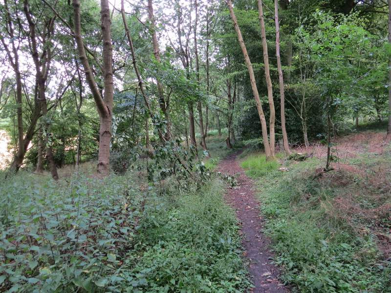
The path in Widnell Wood
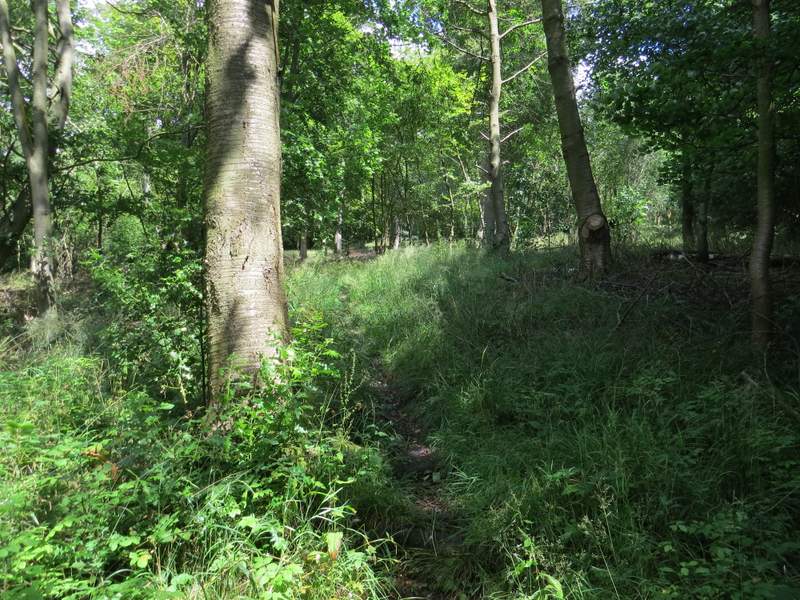
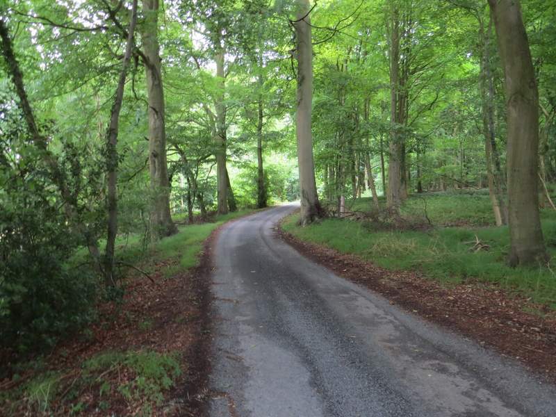
The path in Hengrove Wood
The path in Hengrove Wood
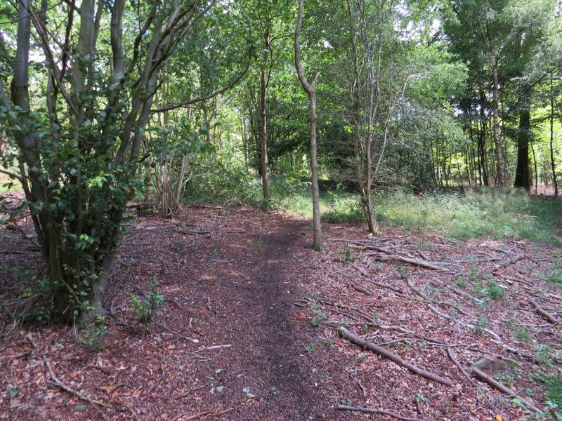
The path in Hengrove Wood, just a few yards before reaching the end of the old lane
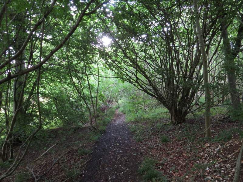
I turned right and went a few yards to the end of the lane (it comes from Buckmoorend and presumably once continued on to Little Hampden) and then turned left on a path into Chisley Wood. Within two or three yards there was a fork, and I took the fainter of the paths, going half-right. This continued through the wood, initially with a field close by on the right. After some way it dropped downhill to reach a five-way path junction, where I turned right and followed a broad track through the woods towards Dunsmore Old Farm (I had considered going straight on at the junction, which would be the quickest way back to Coombe Hill).
The path in Chisley Wood
The path in Chisley Wood

The path in Chisley Wood
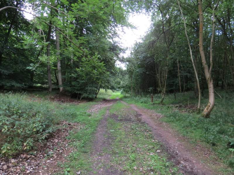
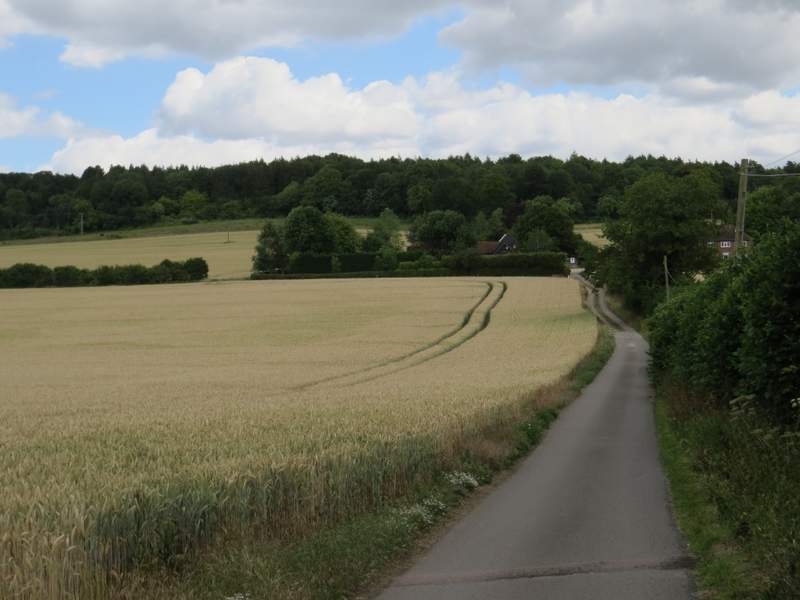
The bridleway going east to Dunsmore Old Farm