Pete's Walks- Alternative Four Hills Walk (page 5 of 6)
If you are considering walking this route yourself, please see my disclaimer. You may also like to see these notes about the maps and GPX files.
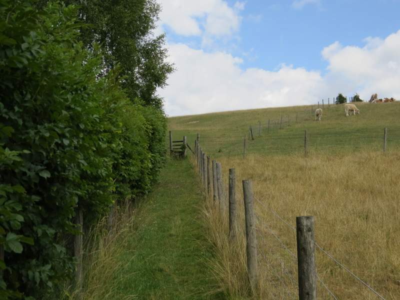
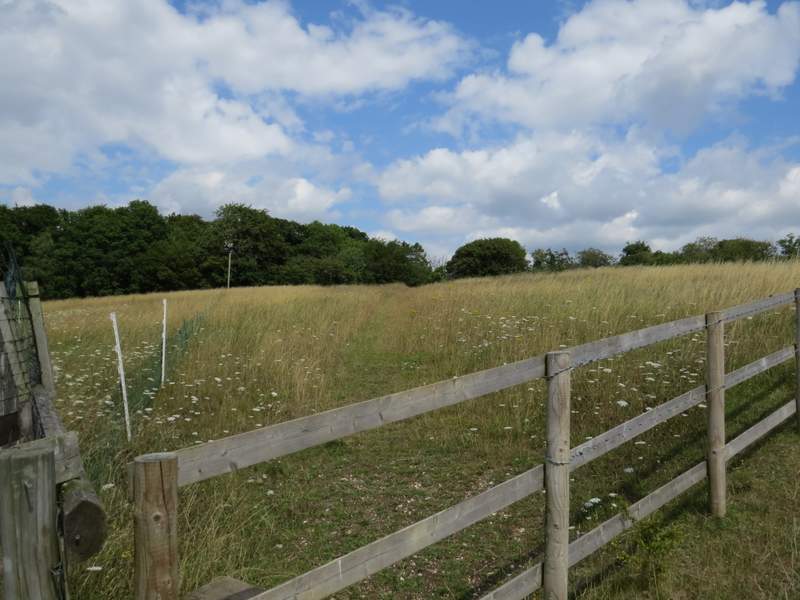
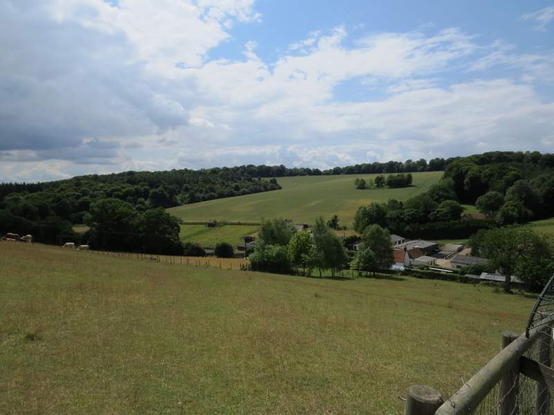
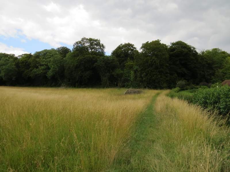
The track led on to reach Old Dunsmore Farm and the few other buildings in its vicinity. At the end of the track I went straight on along a footpath, initially between a hedge and a fence. Over a stile I continued rising half-left up a grassy hillside - there were some cattle over to my right. Across another stile near the top of the slope (where there was a nice view looking back) I continued through a meadow of long grass to reach the lane through Dunsmore, where I turned right to reach the duck pond and chapel in the centre of the hamlet.
Near Dunsmore Old Farm - I continued straight on along a path going half-left across the hillside (again my camera is lying, it is steeper than it looks in the photo)
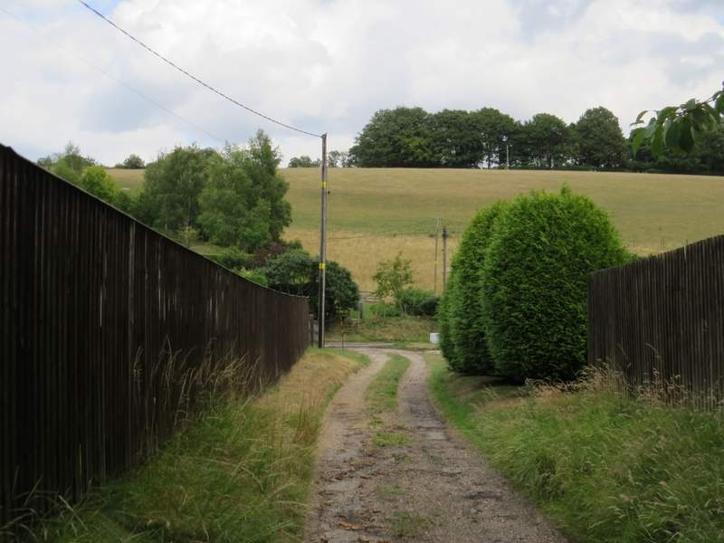
Near the start of the path from Dunsmore Old Farm to Dunsmore
The path from Dunsmore Old Farm to Dunsmore
Looking back from the same spot (this gives a better idea of the steepness)
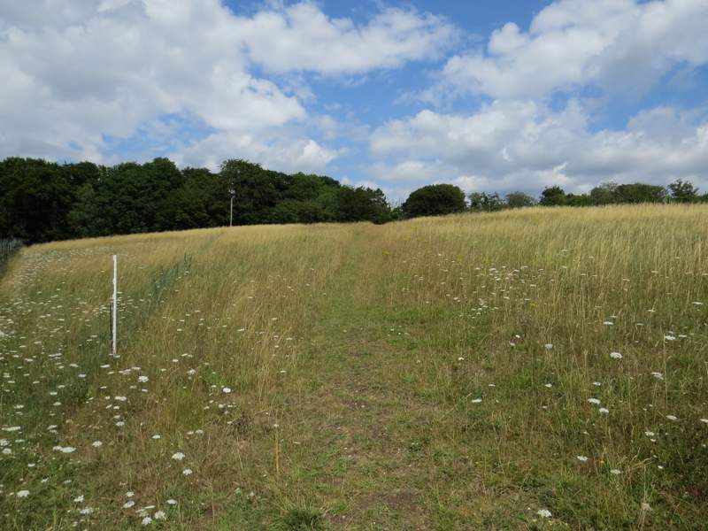
The path from Dunsmore Old Farm to Dunsmore
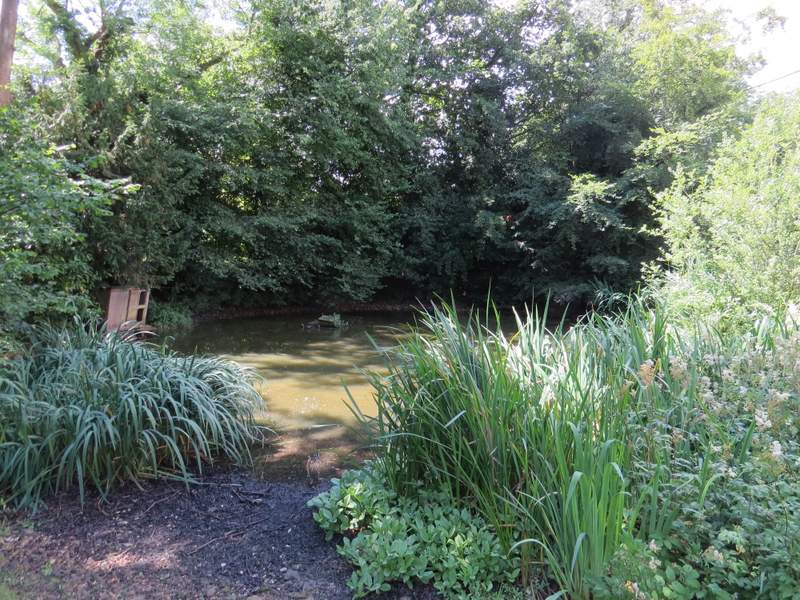
The duck pond, Dunsmore
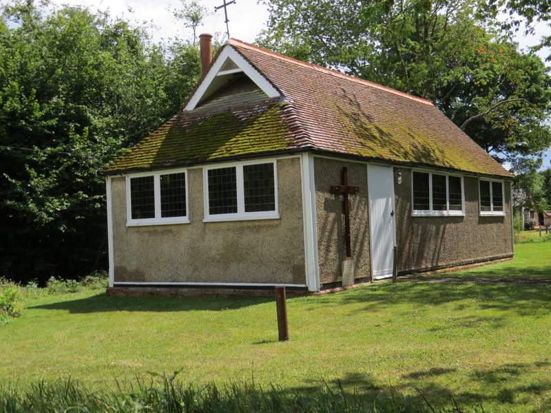
The chapel, Dunsmore
I stopped to look at the map and consider my options - it happened to be sunny at this point, so I didn't think to take the possibility of rain into consideration even though the ominous grey clouds were still around. I decided that I would carry on and include Bacombe Hill in the walk (even though I could already tell I wouldn't be feeling great the next day), and furthermore I decided to try a new route to get there. So I continued on along the lane which soon left Dunsmore and headed downhill - almost immediately the sun disappeared and again it looked like there might be a downpour. After several hundred yards I turned left at a footpath sign, the path following a drive between hedgerows. I stayed with the track when it turned left (actually I first tried the path going straight on, but soon had to turn back because that right of way was blocked by a field of maize with no way through) then when the track went right I made my way into the field on the left by a white post with a footpath waymark (there were brambles and nettles here, it wasn't easy). The footpath now followed the hedge on the right, which turned left and then right (with the garden of a large house now on the other side of the hedge) to reach a small wood (which isn't named on either Google or OS maps). I went straight on through the wood to a path T-junction, where I turned right (I was now back on a path I'd walked before).
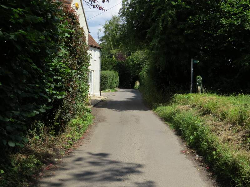
Continuing along the lane through Dunsmore
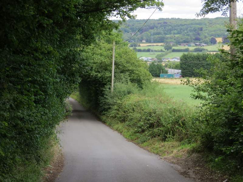
The lane from Dunsmore
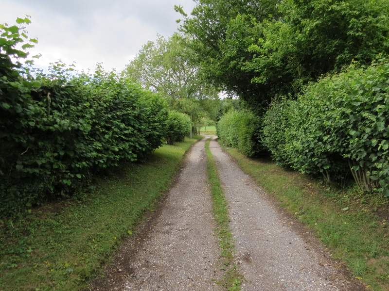
The start of the path going north (to Coxgrove Wood, eventually)
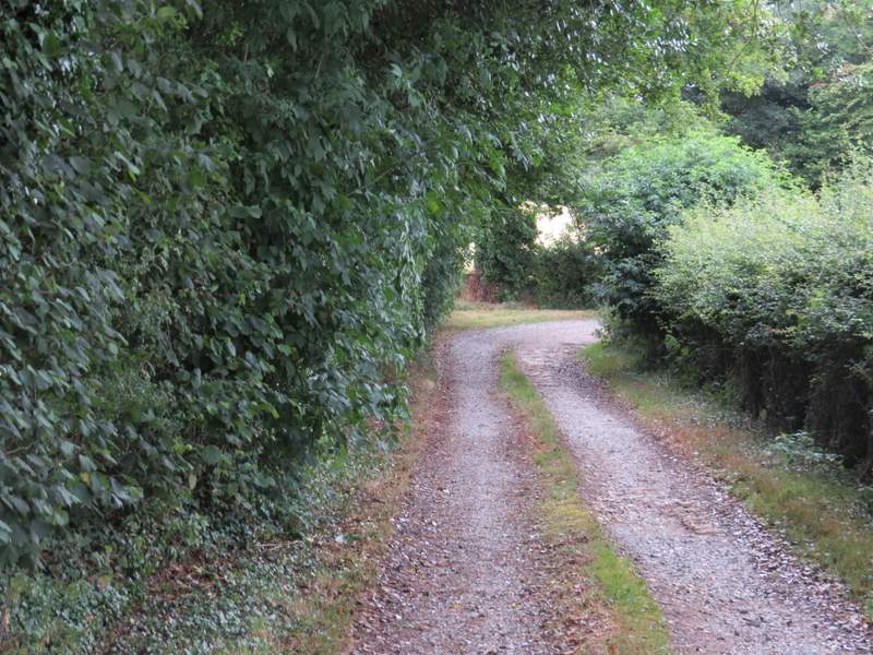
At this corner I had to make my way through a few brambles and nettles to get into the field on the left
The footpath to the unnamed wood
The footpath to the unnamed wood
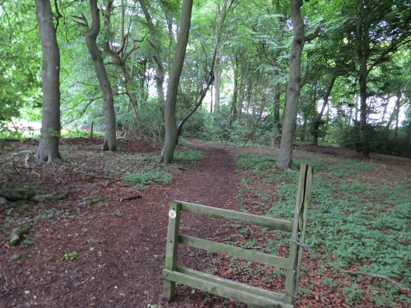
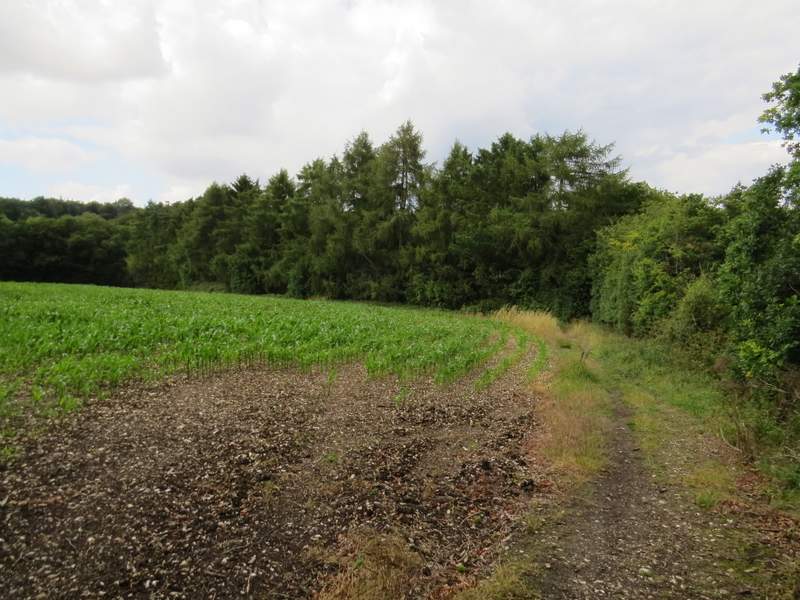
The unnamed wood, where I turned right at a path junction
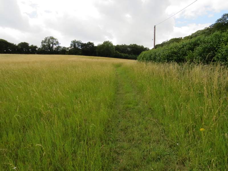
I followed this path through the unnamed wood, and then on alongside the edge of a maize field (this was the field that had forced me to turn back before - annoyingly the maize here was much shorter than in the far corner where the other path entered the field, so perhaps I could have ploughed my way through after all). There was a nice view ahead of me over a broad valley (soon to be spoiled by HS2 - grrr! Stop HS2) towards a wood-topped side valley called The Hale, near Wendover. The skies were very dark now and I thought I might well be in for a soaking. I then turned left (I didn't see any evidence of the other path emerging from the maize field at this point) following a hedge on the right now past a smaller maize field.
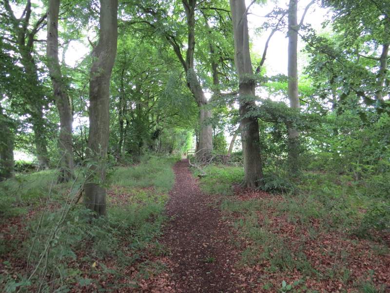
The path just before it leaves the unnamed wood
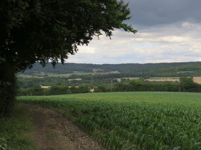
The path just after the unnamed wood - straight ahead is the valley called The Hale, near Wendover.
The path after I turned left