Pete's Walks- Alternative Four Hills Walk (page 6 of 6)
If you are considering walking this route yourself, please see my disclaimer. You may also like to see these notes about the maps and GPX files.
The path continued through bushes and trees and then crossed a bridleway. It carried on across a corn field to reach Coxgrove Wood, where I went straight on at a path crossroads (the path on the right is not shown on the OS map). Beyond the wood, the path continued gently downhill across a large meadow, continuing in the same direction across the corner of a corn field (this is more often a cattle pasture). The path then ran between the fences of some paddocks, and then between garden boundaries to reach Bacombe Lane in Bacombe.
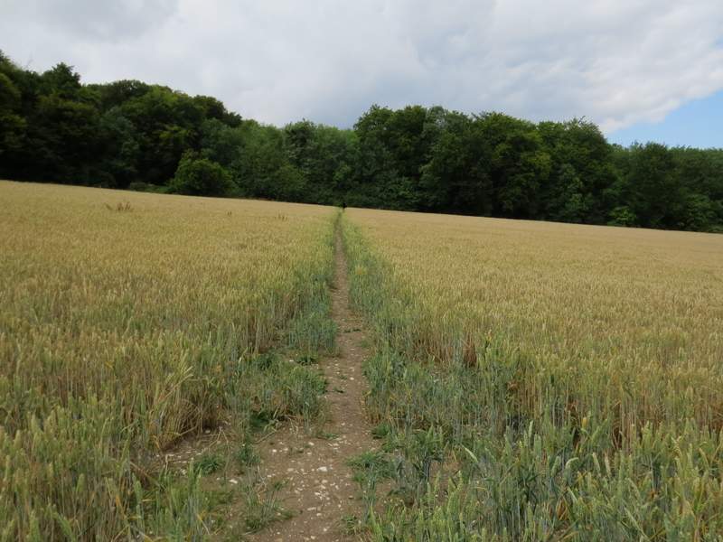
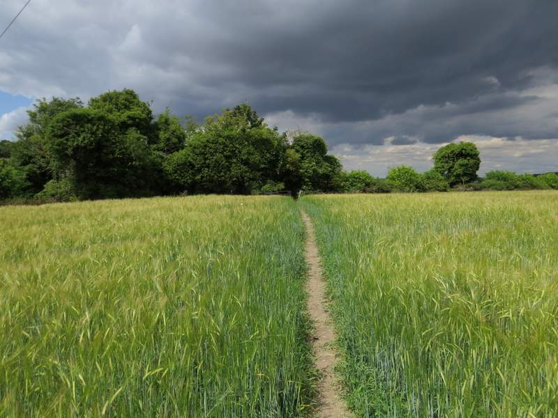
The path to Coxgrove Wood
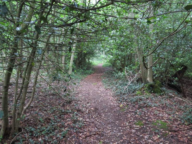
Just inside Coxgrove Wood
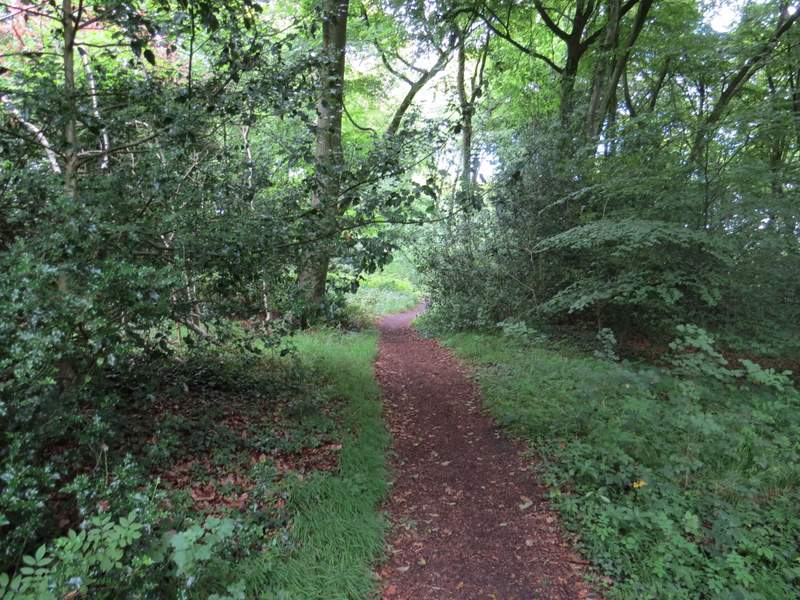
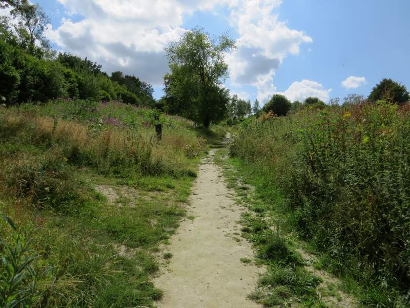
Coxgrove Wood
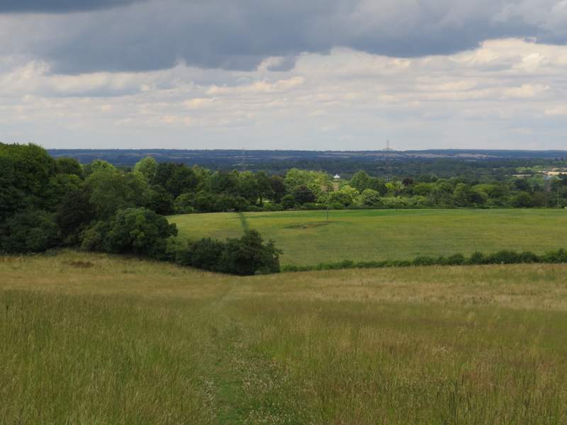
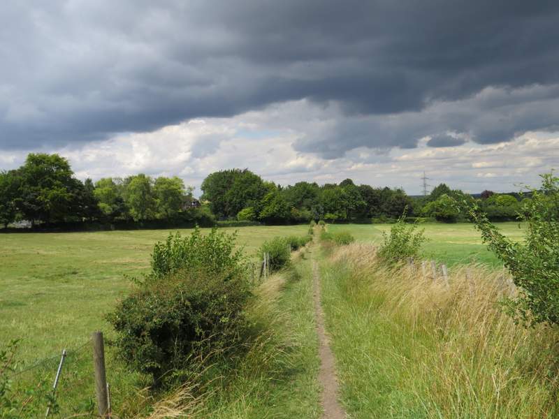
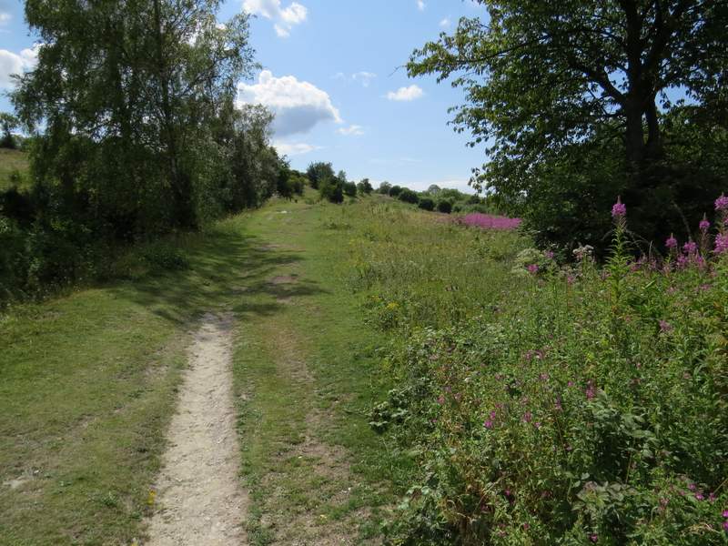
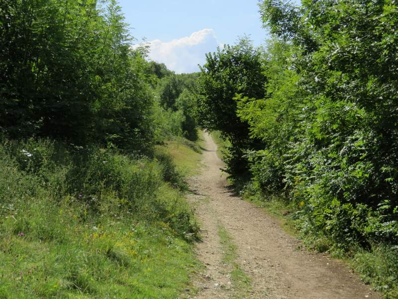
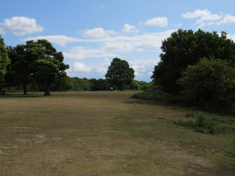
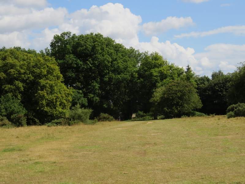
The path from Coxgrove Wood to Bacombe
The path from Coxgrove Wood to Bacombe
The path from Coxgrove Wood, approaching Bacombe
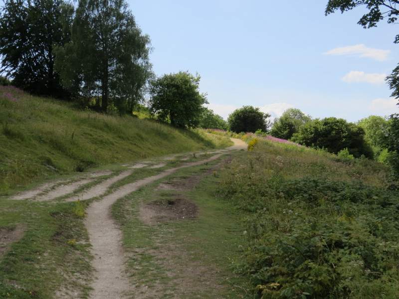
I'd been pondering the three or four possible ways of getting back to Coombe Hill from here and now decided to take the longest option (despite feeling tired and despite the grey skies). I turned right down the lane, and after two or three hundred yards I took a footpath on the left (no path sign, just a stile in the hedge) which crossed a large cattle pasture - I'd not walked this path before but I'd seen other people on it a few times. From the far corner of the pasture it was just a few yards to a road coming out of Wendover (the one I'd used to get to Coombe Hill earlier, and which I have probably used on 40% or more of my Chiltern walks). I turned left along the road, passing a row of cottages on the right as I made my way uphill. When the road turned right, I took a footpath going straight on. This was soon gently climbing Bacombe Hill. As ever there were good views out over the Vale of Aylesbury, and there were lots of wildflowers to brighten the immediate surroundings - in particular there were many areas of dark pink Rosebay Willowherb. I think this has to be one of my favourite uphill paths in the Chilterns (though it's even nicer coming downhill!).
The path from Bacombe Lane (to the edge of Wendover)
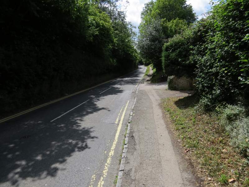
The road out of Wendover
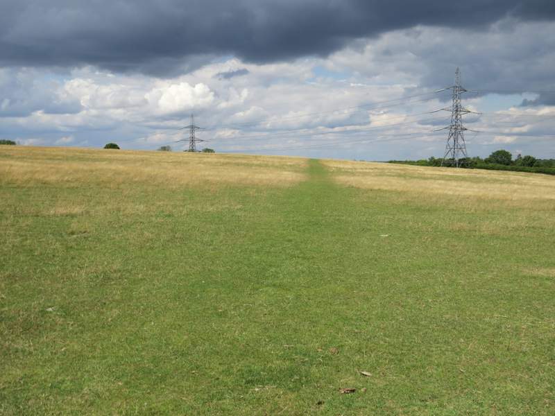
Near the start of the path up Bacombe Hill (part of the Ridgeway)
The path up Bacombe Hill
The path up Bacombe Hill
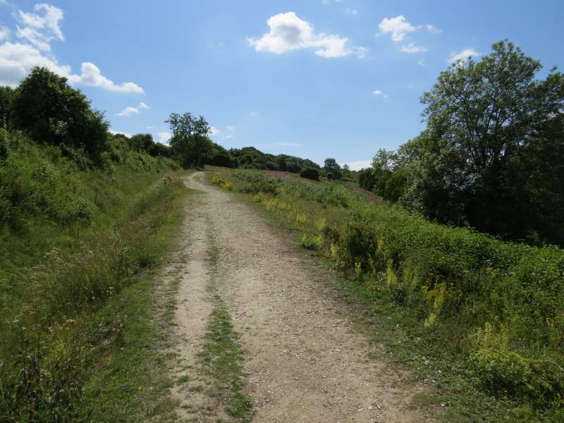
The path up Bacombe Hill
The path divided in two eventually, and I kept left - not that it mattered as the paths rejoined after a couple of hundred yards (the Ridgeway took the other way). There was then a long flat straight section between trees, and I remembered how icy this was when I was here in February. The path then crossed a sunken bridleway, passing through gates on either side, before continuing across short grass at the top of a scrubby hillside to reach the monument on top of Coombe Hill (a memorial to the men of Buckinghamshire who died in the Boer War). From here I turned left and followed a broad strip of grass with bushes either side. At its end, the path passed through a narrow belt of trees, then continued through an area of grass and bushes to return to the car park where I'd started.
The path continuing to Coombe Hill
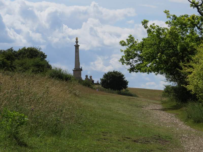
Approaching the monument on Coombe Hill
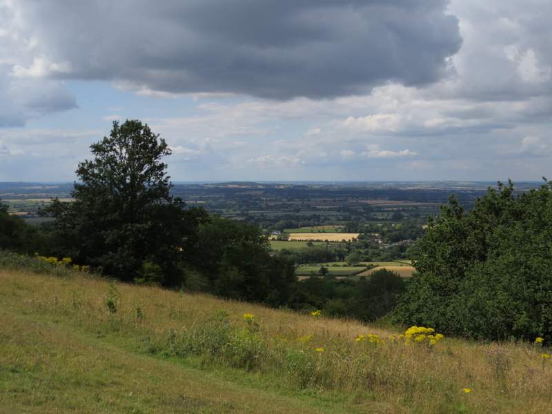
View over the Vale of Aylesbury from Coombe Hill
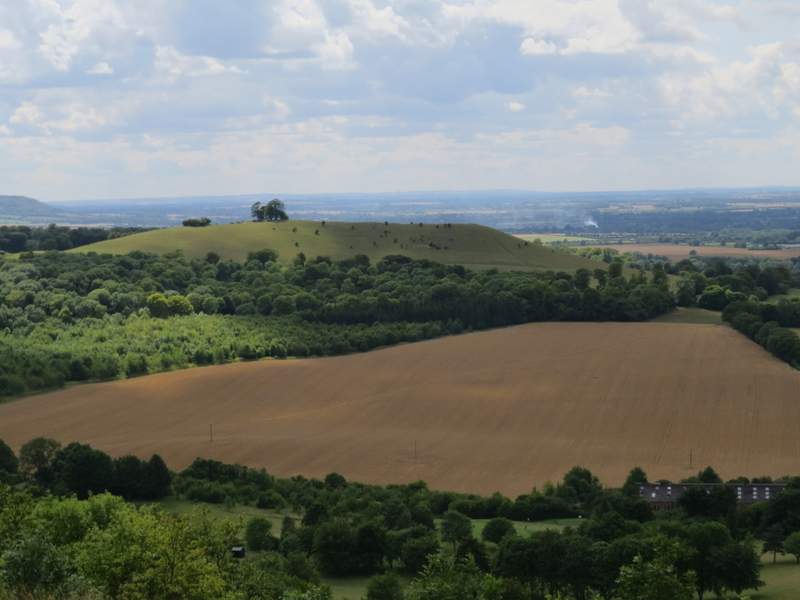
Beacon Hill from Coombe Hill (that's the wheat field I crossed near the start of the walk)
The broad strip of grass leading back to the car park from the monument
Approaching the Coombe Hill car park
The walk had taken me about five hours and 10 minutes, discounting my break for lunch, the time I'd spent photographing butterflies and dragonflies, and the few minutes wasted when I had to turn back because a path was blocked by a maize crop. It was only about 12.3 miles, I'm walking much slower than I used to.
I enjoyed the walk. As ever, it was good to revisit some favourite paths, but it also good to try out some new paths. Of those new paths, only the one through Knighton's Hill Wood is one that I'd particularly like to walk again.
I think this was still a good alternative to my usual 'Four Hills' walk. However, I'd have to say this is a 'route in progress'. I'd still like to do a shorter 'Four Hills' walk, for days when I'd like to go over these hills but haven't the time or inclination (or health) to walk 12 miles.