Pete's Walks- Gaddesden Row and Briden's Camp (page 1 of 3)
If you are considering walking this route yourself, please see my disclaimer. You may also like to see these notes about the maps and GPX files.
Google map of the walkDownload GPX file of the walk
I did this walk of about 9.2 miles on Sunday, 27th September 2015. It was my first walk for about six weeks, as I have had various minor ailments (bad back, bad leg and a heavy cold).
Although it's just a few miles from my home in Kensworth, it's five or six years since I last walked in this pleasant part of the Chilterns just north of Hemel Hempstead. In the past I have walked as far as Briden's Camp from my home or form Studham Common, but I'm nowhere near fit enough to do that nowadays (I'm still suffering from post-viral fatigue or something) so I decided to start the walk at Jockey End (part of Gaddesden Row). The walk is a bit odd in that after the first mile I went round a large loop, then retraced my steps the mile back to Gaddesden Row. If I did the walk again, I'd make it into a circular walk by making use of Dean Lane and its continuation - unfortunately I didn't know the continuation was a public right of way until today when I passed a sign at its far end (by Gaddesden Row School) that said it was a public byway (UPDATE: I did repeat this walk as a circular walk in March 2016 - see here).
I parked on the minor road in Jockey End, just as it left the village going southeast towards Hemel Hempstead (Grid Reference TL042137). I then went a few yards along the road, before turning right on a footpath through the Gaddesden Row allotments. Through a kissing-gate at the end of the allotments I turned left (the Hertfordshire Way goes straight on here) and soon reached the corner of a meadow. The path then continued for several hundred yards between the (much chewed) wooden fences of several paddocks. Across a lane, a path continued along an overgrown headland between two fields of stubble, with a water tower over to my left. The path then ran along the edge of a paddock, before going half-left across a second paddock to the corner of a small wood (this is slightly different from the original route shown on the OS map, but seems to have been made the official route now). Through a gate and along a short path next to a pond with a variety of wildfowl on it, I reached the drive to a cottage named The Lane House on the OS map. I'd be retracing my steps so far at the end of the walk.
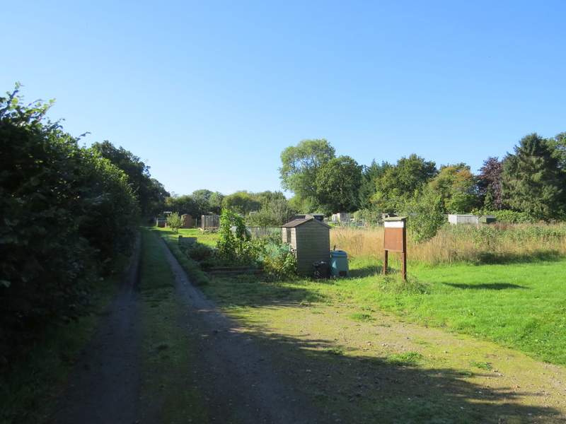
The path through the allotments at Gaddesden Row
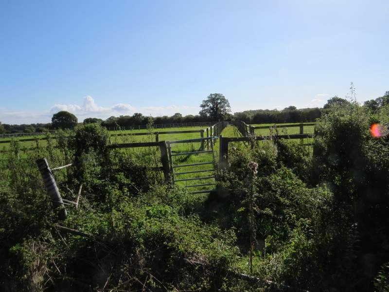
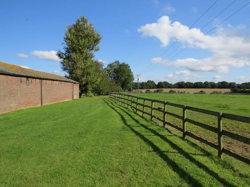
The start of the footpath through the paddocks
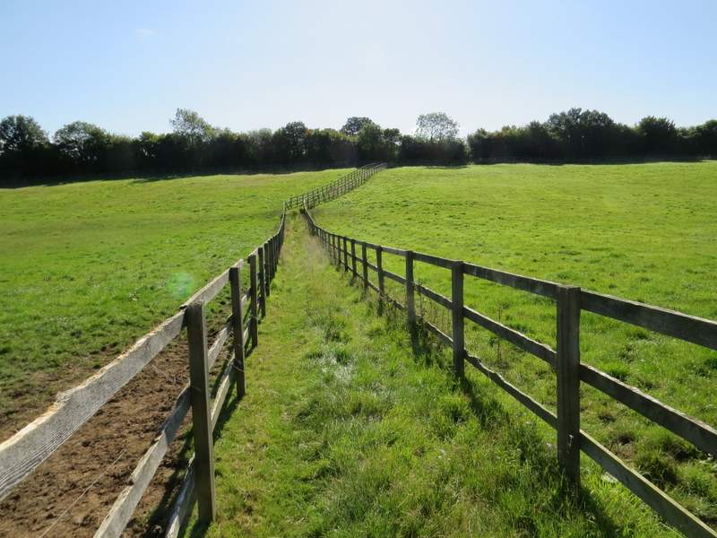
The footpath through the paddocks, approaching the lane
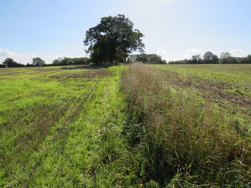
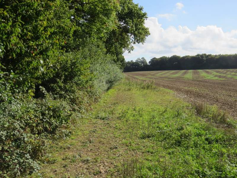
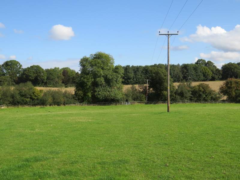
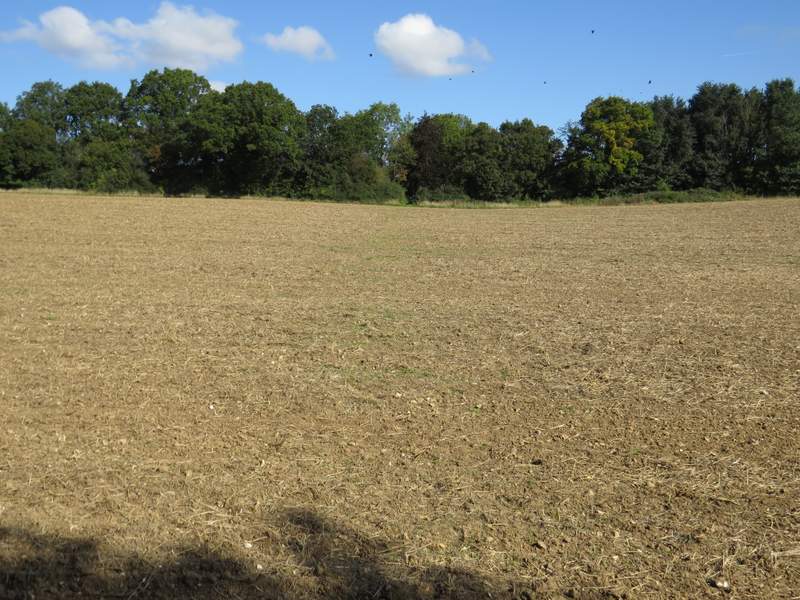
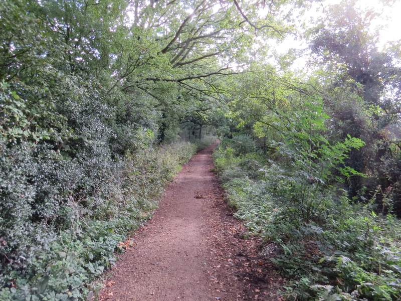
The headland between fields of stubble, after crossing the lane
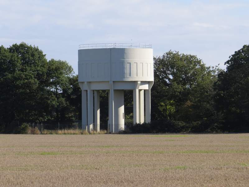
I seem to take a photo of this water tower every time I pass it
The second paddock, approaching The Lane House
I turned left and followed the drive from The Lane House to a road (the same one I'd parked on). On the other side I continued along a byway starting next to Gaddesden Row School (it's not shown as a public byway on the OS map, only the first section is shown as a public footpath, but a sign here indicated it was a public byway all the way to Billingdon Bottom at the other end of Dean Lane). When the byway turned left, I turned right onto a footpath - I've walked this the other way a couple of times and had kept to what was now the left of the hedgerow, but today I followed the route shown on the OS map and kept to the right. There was a broad strip left next to the hedgerow, part of which was a conservation area with signs saying 'no vehicles'. On reaching a minor road, I went a short distance right, then turned left along a bridleway running next to Teakettle Wood.
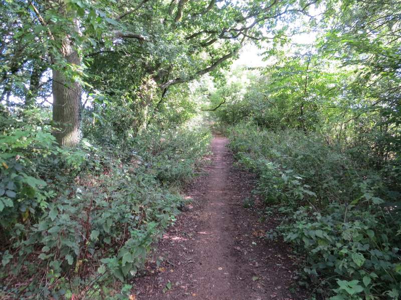
The path going east after I turned right from the public byway
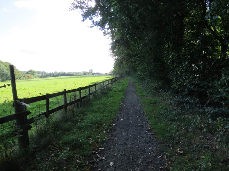
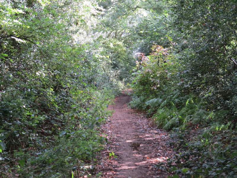
The bridleway heading to Upper Wood Farm
When I reached Upper Wood Farm, I decided to vary from the route I'd planned. I'd intended to follow the bridleway straight on, then turn left on a footpath to reach an isolated cottage called Nirvana. But I'd walked that way before and a quick glance showed I could get to Nirvana a different way on paths I'd not walked before, so instead I turned left onto a footpath that started at the farm. This soon crossed a large sheep pasture, the path staying just left of some telephone wires. It then crossed a ploughed field to reach a corner of Puddephat's Lane.
The start of the path going northeast from Upper Wood Farm
The path going northeast from Upper Wood Farm
The path going northeast from Upper Wood Farm (it's not obvious in the photo, but there is a clear gap in the hedge ahead that the path aims for)
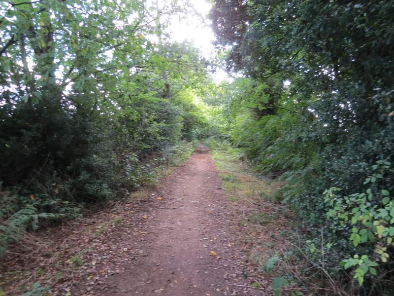
Here I turned right, not along the lane but along what a finger-post described as 'Public Highway, Green Lane' (the OS map shows it as an 'other route with public access'). I immediately passed Puddephats Farm on my left, and met three lady horse-riders. A little further on, I stepped aside to let a man on a motorbike pass by. After a few hundred yards the 'public highway' turned left, then after another few hundred yards it turned right (where a footpath went more or less straight on). Then after another few hundred yards I reached a path junction (where the route I'd originally planned came in from the right) and a few (very muddy) yards further on I reached Nirvana (the isolated cottage that is, not a state of enlightenment!).
The start of the 'public highway', by Puddephats Farm
The 'public highway' from Puddephats Farm

The 'public highway' from Puddephats Farm
The 'public highway' from Puddephats Farm
The 'public highway' from Puddephats Farm - it forks right here, the left fork is a footpath (going towards Trowley Bottom and Flamstead)
The 'public highway' from Puddephats Farm, now nearing Nirvana
The 'public highway' from Puddephats Farm, now nearing Nirvana