Pete's Walks- Gaddesden Row and Briden's Camp (page 1 of 3)
If you are considering walking this route yourself, please see my disclaimer. You may also like to see these notes about the maps and GPX files.
I did this circular walk of about 9.5 miles on Good Friday, March 25th, 2016. It was a repeat of a walk I did in September 2015, but with a slight alteration that turned it into a circular route (I've marked this change as Alternative 1 on my Google map.
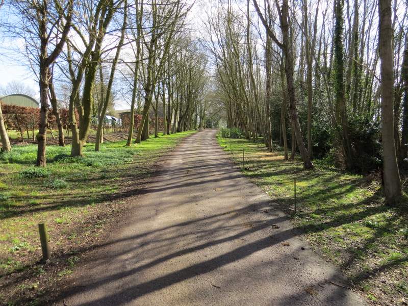
I parked on the eastern edge of Jockey End, by the entrance to a small play ground (grid reference TL 042137). Straight away I diverged from the route I used last September, by taking the footpath that went through the play ground and continued past some garages on my left (I spotted my first Small Tortoiseshell butterflies of the year here). The path then dropped downhill through a large field, to reach a track called Dean Lane, running just inside Dean Wood. I turned right, and followed Dean Lane to its end on a minor road.
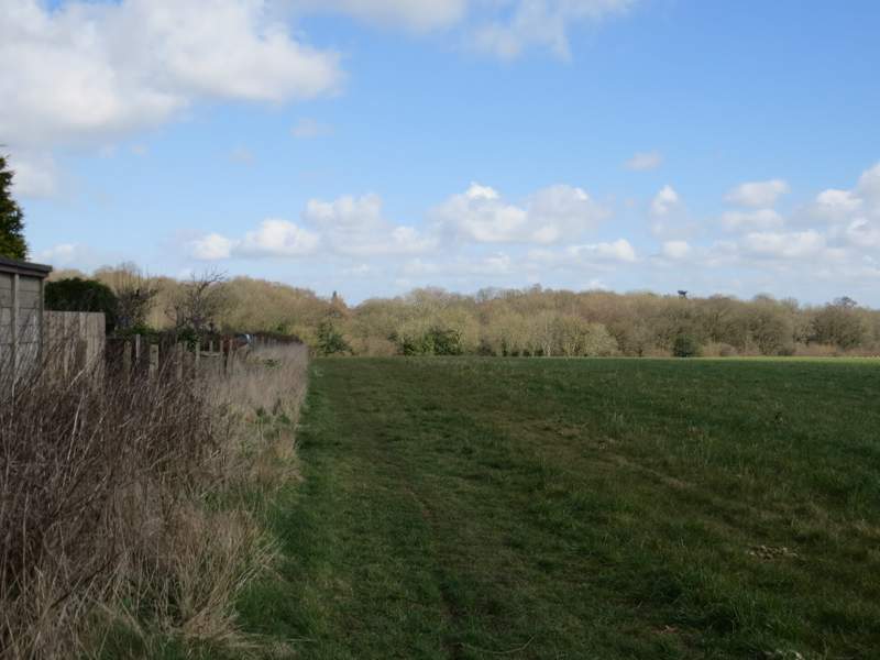
The path from the playground at Jockey End to Dean Lane
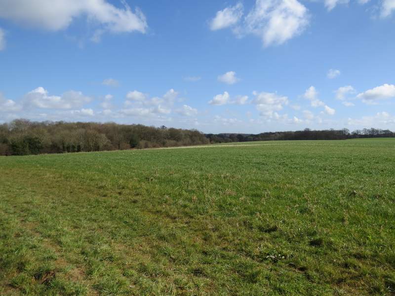
Looking half-right from the same place the previous photo was taken - Dean Lane runs just inside the wood on the right
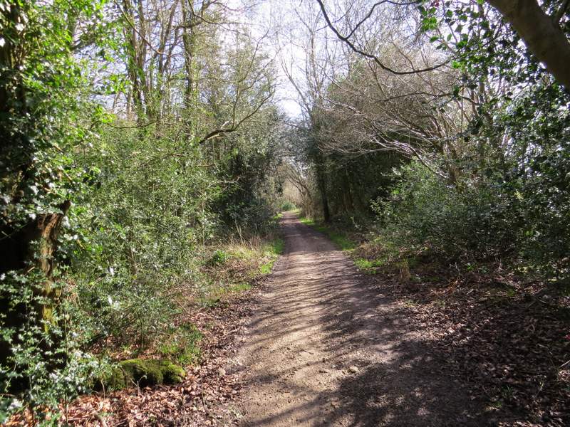
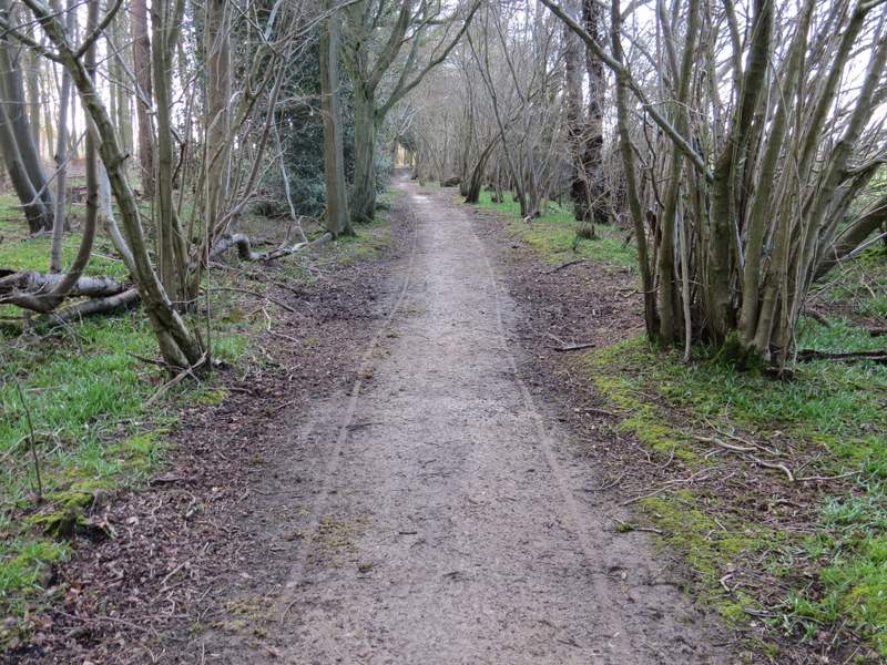
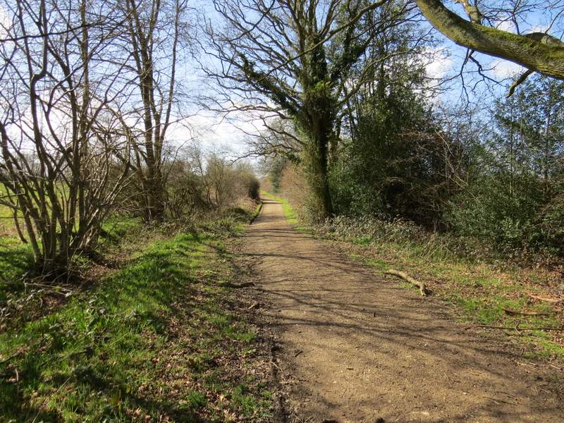
Dean Lane
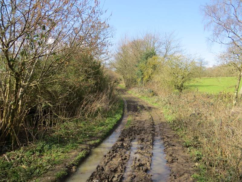
Looking back along Dean Lane, from where it meets the minor road
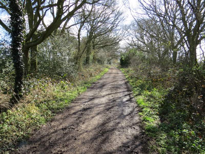
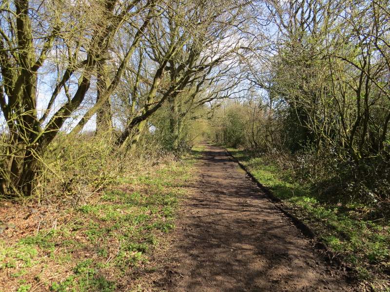
Across the road I went down a byway, which I'd never walked before. The reason I hadn't made use of this byway when I did this walk last September was that it's shown as a track on the OS map with no indication whether it is a public right of way or not, it was only during that walk that I saw a 'Public Byway' sign at its other end (by Gaddesden Row school). The byway started through the interestingly-named Babies Wood, then continued between hedges to reach another wood, Newland's Wood. I carried on through this wood, all the time puzzling over what sort of vehicle had left two parallel tyre tracks along the byway - I considered a tricycle or a pony trap, but there was no sign of a third tyre nor of any hoof-prints. Beyond Newlands Wood the byway again ran between hedgerows, until I reached a path junction where I turned left onto a footpath as the byway turned slightly right (not far from its end by the Gaddesden Row school).
The byway heading through Babies Wood
The byway continuing between Babies Wood and Newland's Wood
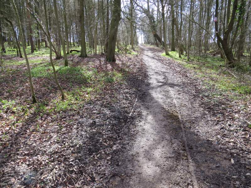
The byway continuing through Newland's Wood - I was intrigued by the parallel tyre tracks (also visible in the previous and following photos)
The byway continuing through Newland's Wood
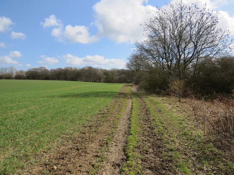
The byway continuing from Newland's Wood
I was now back on the route I used last September, except then I walked along the right of a hedgerow (which is where the OS map shows the footpath) whereas today I walked on the much clearer path to the left of the hedgerow (a sign marked it as a bridle route, so I assumed it was OK to walk it). The path was only the length of one field, then I turned right along a minor road for a few yards before turning left onto a bridleway. This ran between paddocks on my left and another interestingly-named wood, Teakettle Wood, on my right. On the far side of Upper Wood Farm I turned left onto a footpath, which soon entered a very large paddock - the four young horses here all came towards me hoping I'd got something for them, but were disappointed. The path through the paddock went slightly left of a line of telegraph poles, to a metal kissing-gate in the hedge on the far side. It then continued across an arable field to reach a bend in Puddephat's Lane, by Puddephat's Farm.
The footpath going left from the byway
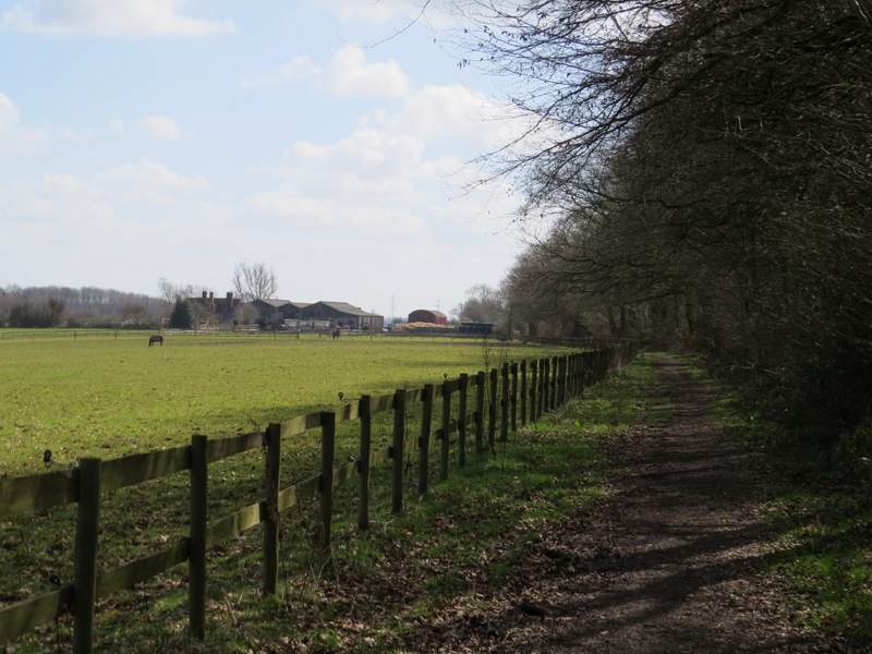
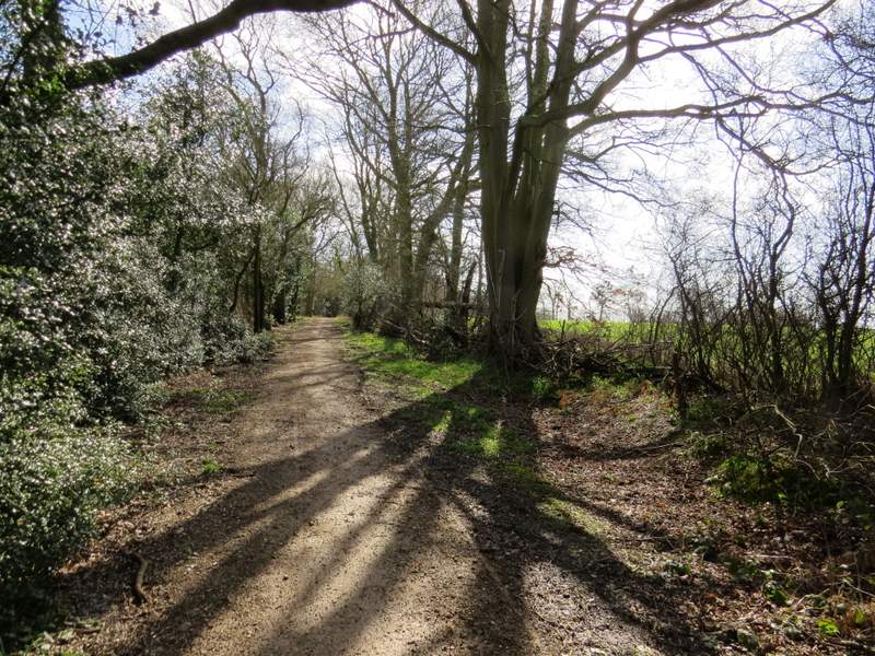
The bridleway to Upper Wood Farm (according to the OS map, the wood on the right is Teakettle Wood!)
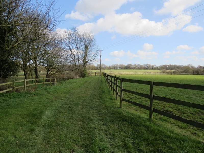
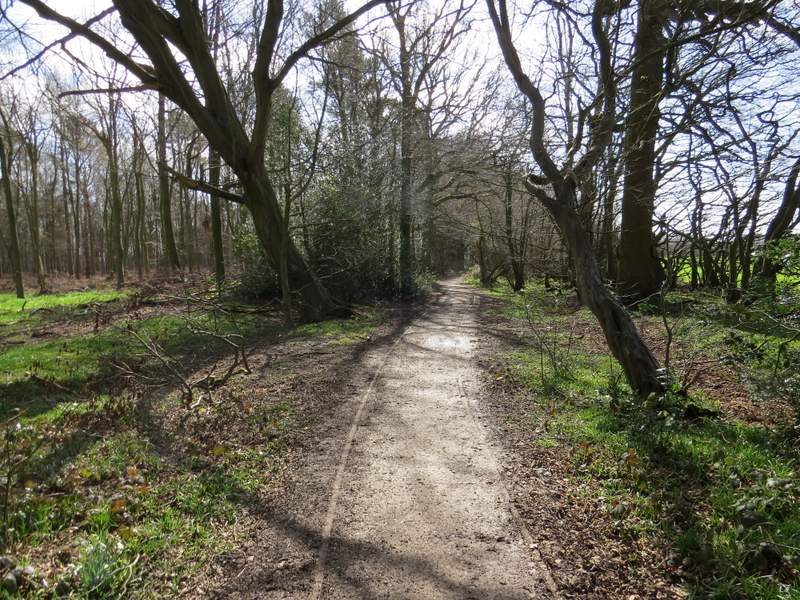
The start of the footpath going northeast from Upper Wood Farm.
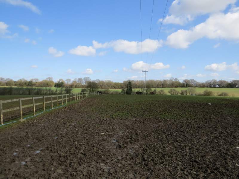
The footpath going northeast from Upper Wood Farm (it keeps just left of the line of poles)

The footpath going northeast from Upper Wood Farm, approaching the Puddephat's Lane
I didn't go down the lane, instead turning right onto a track that the OS map indicates is an 'Other route with public access', which soon passed Puddephat's Farm on my left. The track continued between old hedgerows, turning left after a while.
The start of the 'Other route with public access', going past Puddephat's Farm
The 'Other route with public access'
The 'Other route with public access', after it turned left