Pete's Walks- Gaddesden Row and Briden's Camp (page 2 of 3)
If you are considering walking this route yourself, please see my disclaimer. You may also like to see these notes about the maps and GPX files.
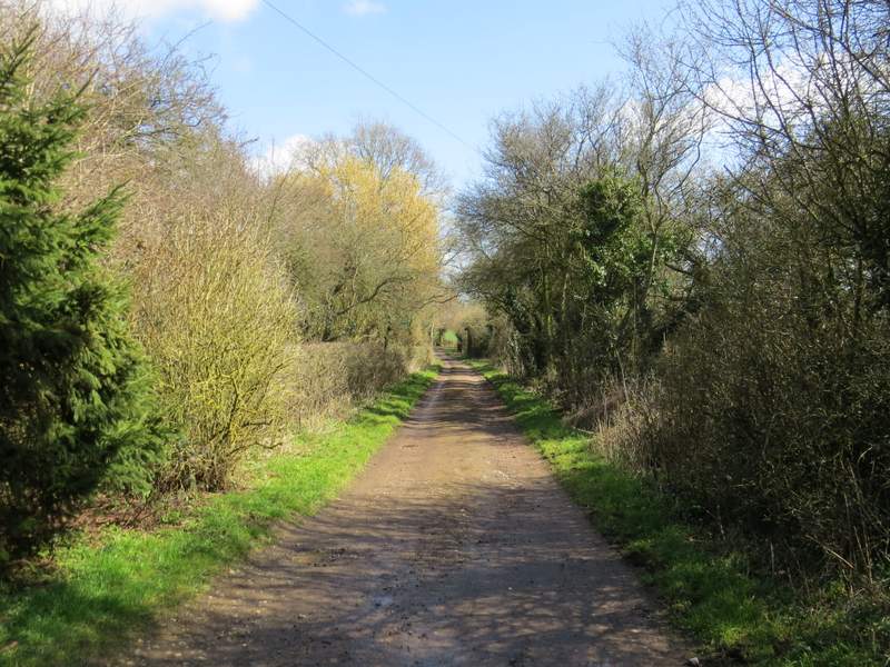
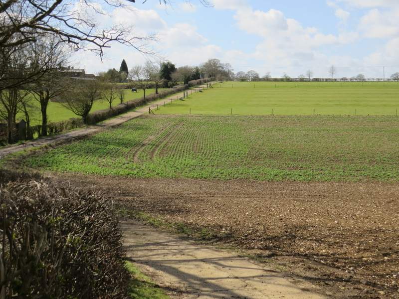
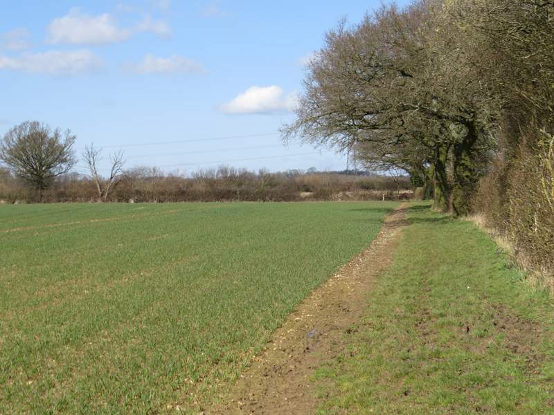
Further on the track turned right, where a footpath went more-or-less straight on. The track continued between its hedgerows for another quarter of a mile or so, before turning left and passing a cottage called Nirvana (actually the map isn't really clear whether Nirvana is this cottage or a building somewhere a little way away that I couldn't see). I continued down the drive from the cottage to reach a lane, where I turned right. The lane isn't named on the map, but part way along it I passed Greenlane Farm, so possibly it's Green Lane. After about half a mile I came to the end of the lane at a T-junction with Gaddesden Lane (despite its name and its narrowness, it's a minor road according to the OS map) where I turned right once more.
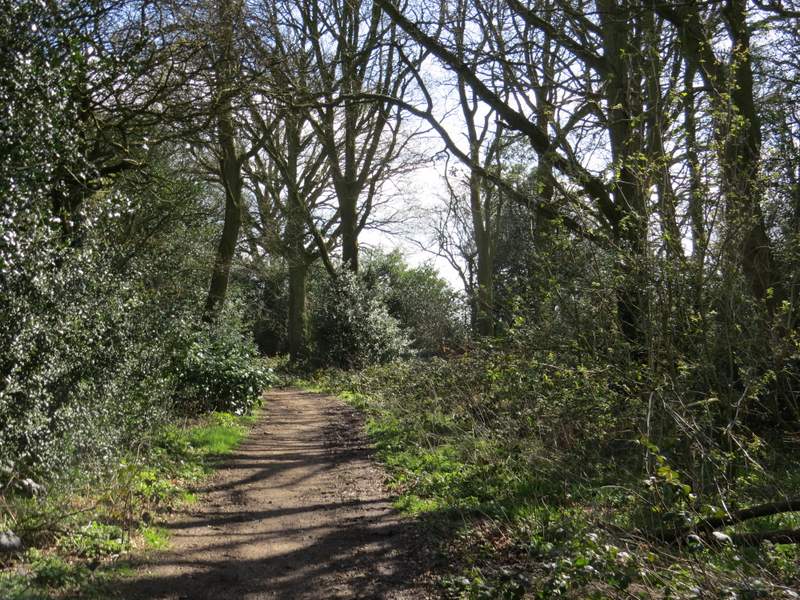
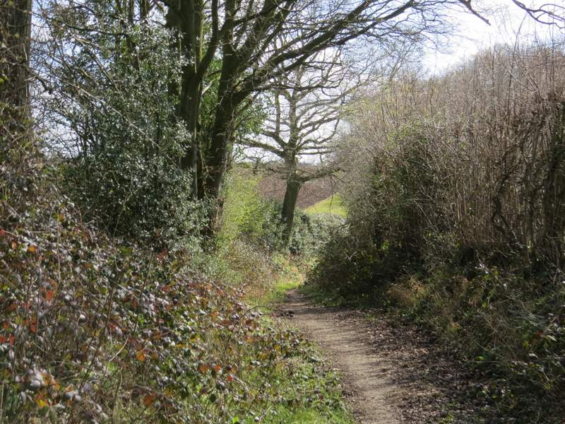
The 'Other route with public access', after it turned right (where a footpath went straight on)
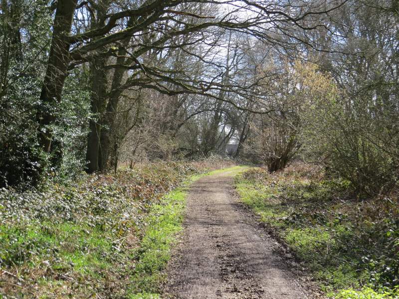
The 'Other route with public access' approaching Nirvana
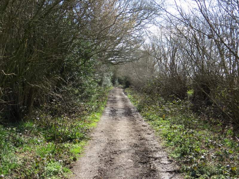
The drive from Nirvana

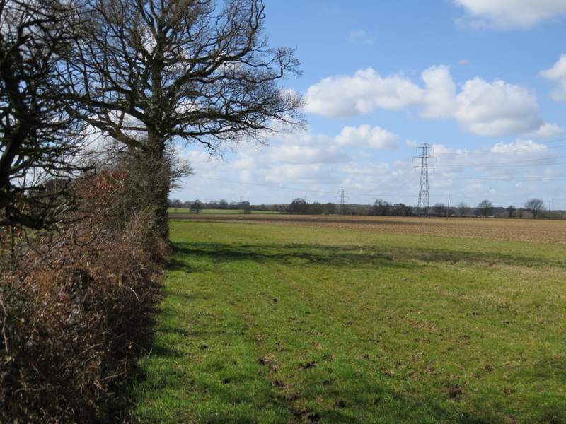
The lane, passing Greenlane Farm
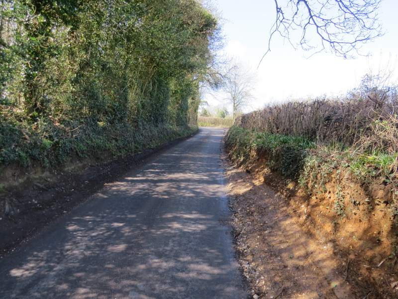
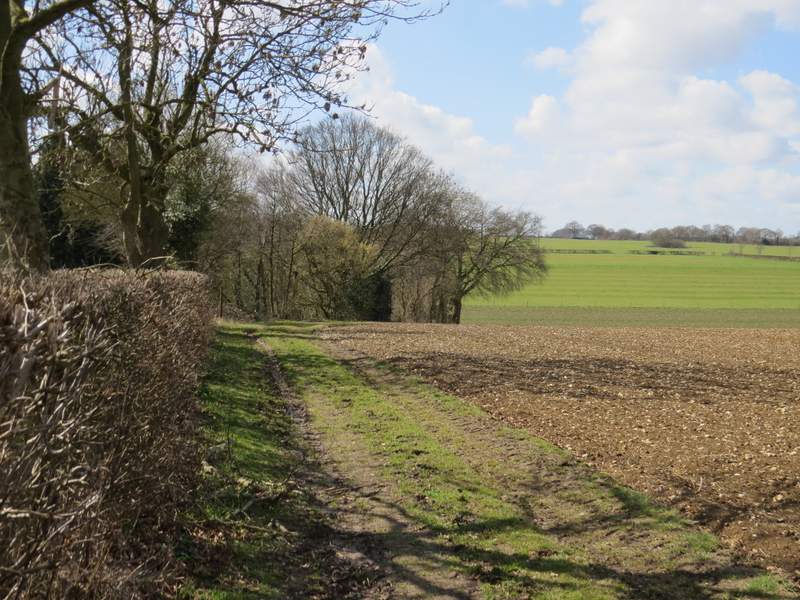
Gaddesden Lane
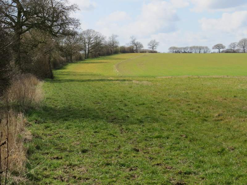
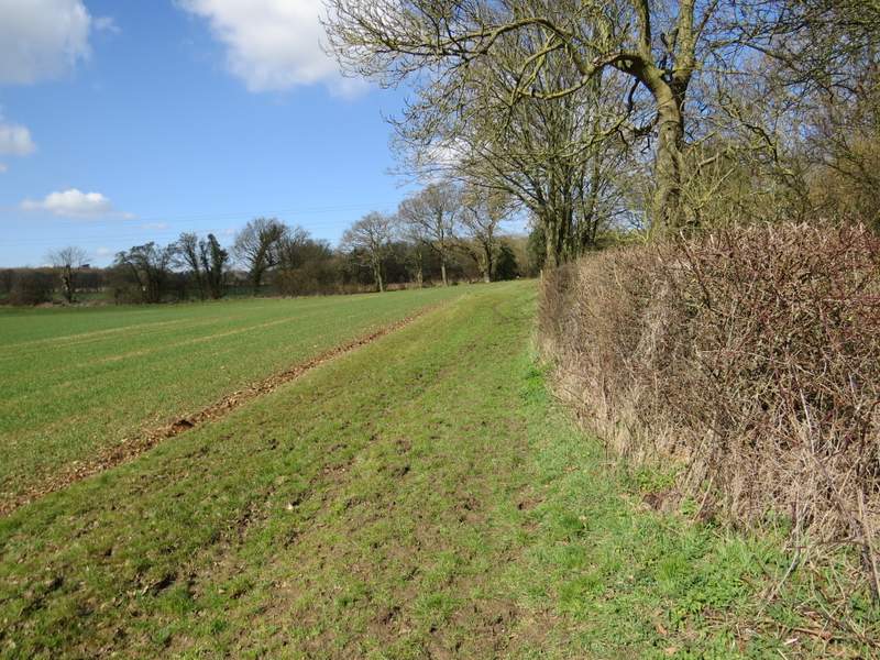
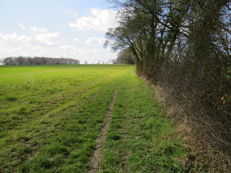
I carefully followed the road round a bend, then went down a bridleway on the left which was soon running through a narrow bit of woodland. On the far side of the wood I turned right down a track (the map shows the bridleway starting through the paddock on the left of the track, but there was no sign of it when I came here last September, nor today). After a few hundred yards I was definitely on the bridleway (and a bridleway waymark pointed back the way I'd come). The bridleway now followed a hedge on my left, with a pleasant view opening up ahead of me. At one point there was a large pit, possibly an old quarry, on the other side of the hedge. Then eventually the bridleway reached Cupid Green Lane
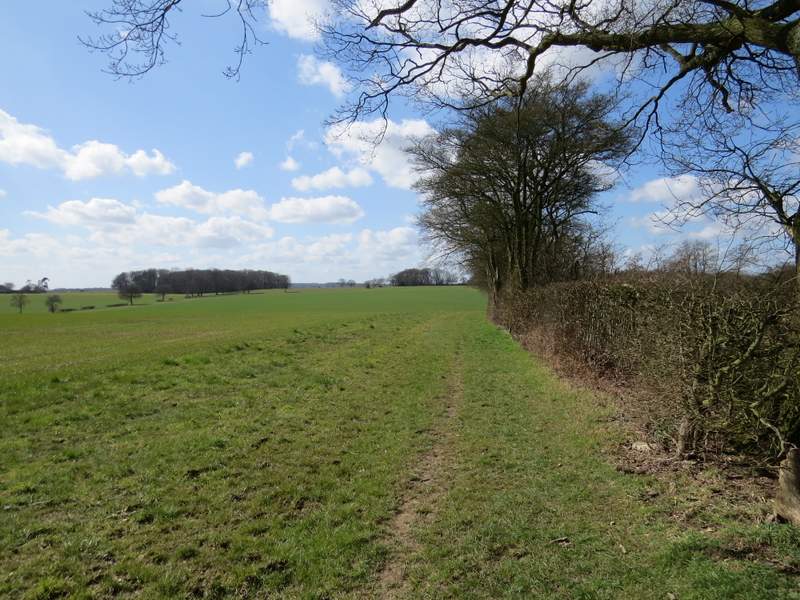
The bridleway going left from Gaddesden Lane
The bridleway going left from Gaddesden Lane
The bridleway from near Holtsmere End Farm to Cupid Green Lane
The bridleway from near Holtsmere End Farm to Cupid Green Lane
The bridleway from near Holtsmere End Farm to Cupid Green Lane (which runs behind the hedgerow at the top of this photo)
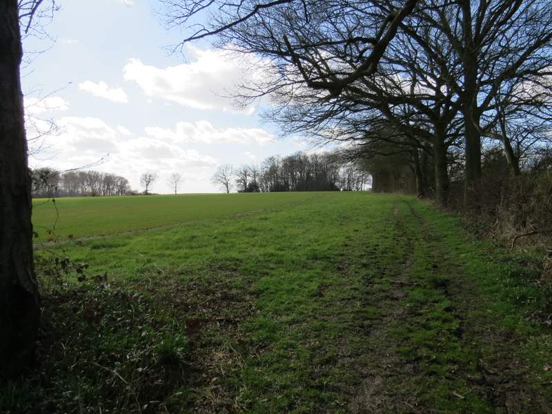
On the other side of Cupid Green lane, the bridleway continued, again following a long hedgerow on my left. On reaching a field corner, the bridleway went ahead through a hedge gap and immediately turned right before soon turning left in the next field corner. It now followed a hedge on the right, and stayed with it when it turned right. In the next field corner I turned left again (at a bridleway T-junction), and followed this bridleway for a considerable distance, passing a pond in the hedge on my right at one point.
The bridleway continuing from Cupid Green Lane
The same bridleway, after its first turn to the right (it goes left in the field corner just ahead)
The bridleway after it turns left the first time ...
... and after it turns right the second time ...
... and after it turns left the second time (or where I turned left onto another bridleway at a T-junction)
The bridleway continuing
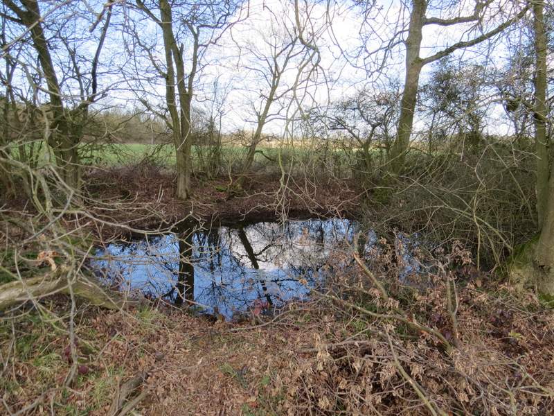
A pond in the hedge beside the bridleway