Pete's Walks- Redland End and Bryant's Bottom (page 1 of 3)
If you are considering walking this route yourself, please see my disclaimer. You may also like to see these notes about the maps and GPX files.
Google map of the walkDownload GPX file of the walk
I did this walk of about 7.9 miles on Monday, 19th October 2015. It was a repeat of the Redland End and Bryant's Bottom walk I did in April this year, but in the opposite (clockwise) direction and with a slight variation near North Dean to avoid a dangerous bit of road (this is shown as Alternative 1 on the Google map)). Apart from the first mile or so and a few yards in Monkton Wood, I was walking these paths in this direction for the first time. Unfortunately it turned out to be a very grey and rather damp day so the photographs aren't great and certainly don't do justice to what I think is a very good walk.
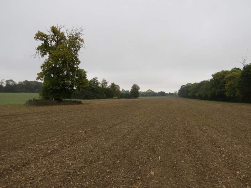
After a very late start, I parked at Redland End where a footpath crosses a lane at Grid Reference SP 834021 (there is room for 3-4 cars to park beside the road, I'd parked here before each time I walked the Chiltern Way) and started walking about 11:25am. I went back up the lane (northwards), passing one or two cottages on my left, to reach a T-junction. On the other side a footpath started, following the line of an ancient earthwork called Grim's Ditch through a wood called Barnes's Grove. After maybe two or three hundred yards I came to a path junction, where I took a path going half-right. This continued through the wood to reach a very large ploughed field. The path across the field hadn't been re-instated after the ploughing, but I made my way diagonally across towards the largest of a number of clumps of trees within the field. There were two or three Red Kites flying overhead here and I saw a Buzzard take off from a dead tree over to my right. Beyond the clump of trees the path was clear as it led across to a corner of the field, from where I took a grassy path towards Hampden House.
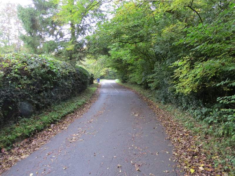
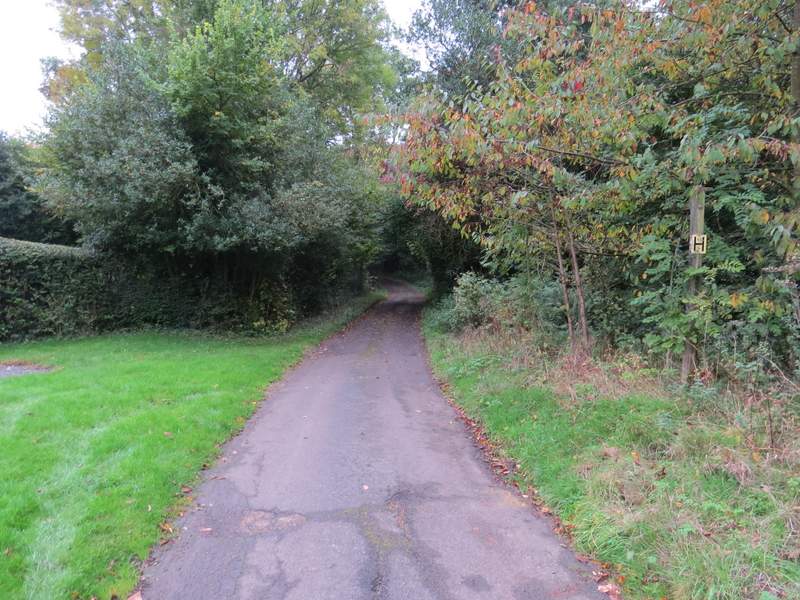
The lane through Redland End
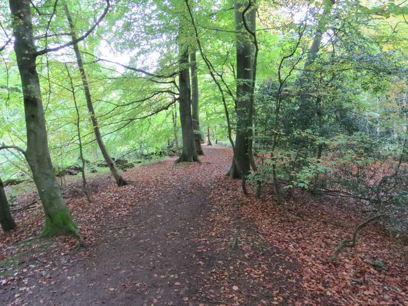
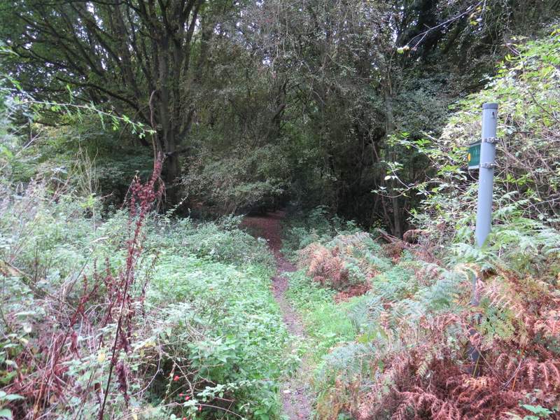
The path along Grim's Ditch in Barnes's Grove
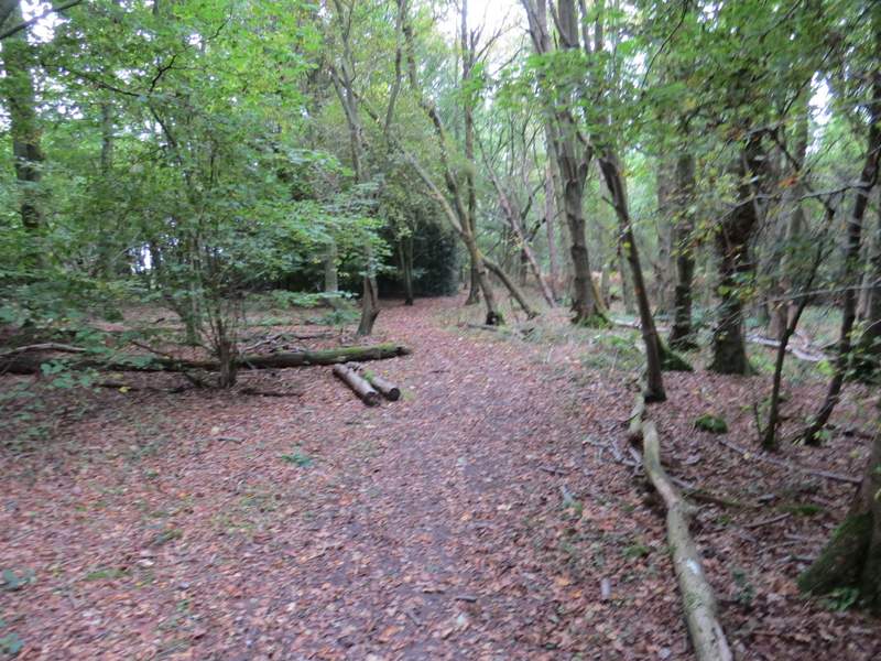
The path going northeast through Barnes's Grove
The path continuing eastwards across a large field, just before Hampden House
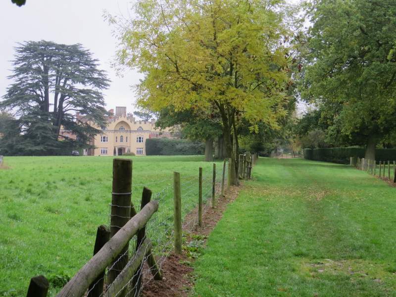
The path past Hampden House
So far I'd been following part of the Chiltern Way, but that now turned left to pass in front of Hampden House. I went straight on along a drive, then took a path going half-right immediately after a churchyard on my right. The path led across parkland (grassy field with mature trees dotted about) to reach a minor road. Across this it continued along a broad grass strip, initially staying close to a hedge on the left. It then continued across a large field, with a hedge on my right at first. I had to put my hood up here, as for a couple of minutes there was a heavy drizzle. Over a lane, the path continued across another field, passing the end of a hedgerow on my left at one point. Over a stile, it continued between a hedge and a fence on my left, to reach a drive or track by the entrance to the Old Rectory (on my left). I turned right along the drive to reach a lane on the edge of Hampden Common, where I turned left.
The path from next to Great Hampden church
The path continuing southeast after I crossed the road
The path continuing southeast after I crossed the lane

Further along the same path, approaching the Old Rectory near Hampden Common
The lane or drive at Hampden Common
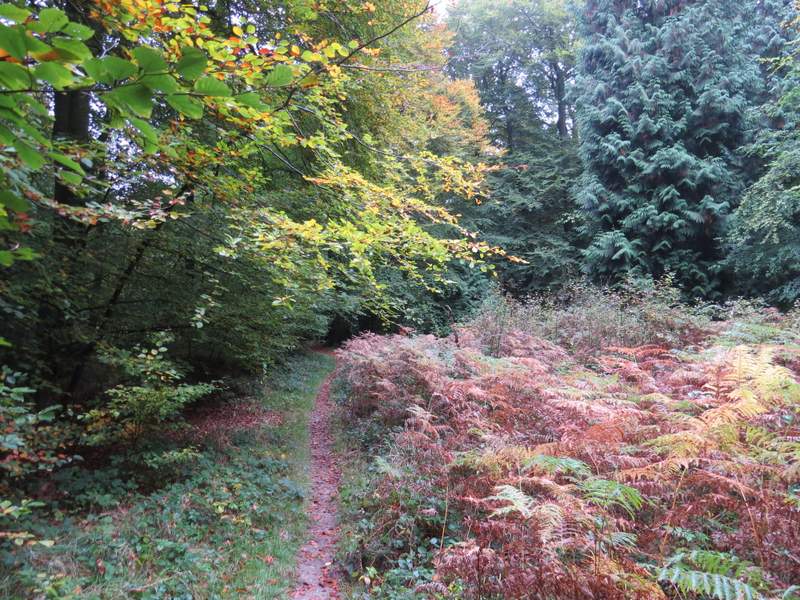
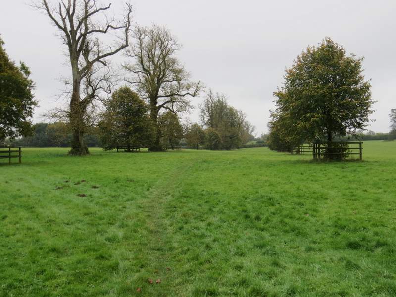
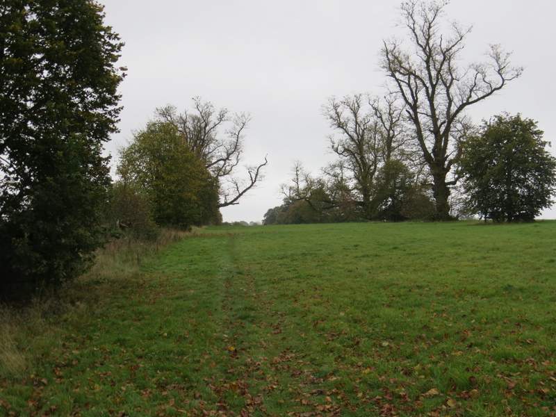
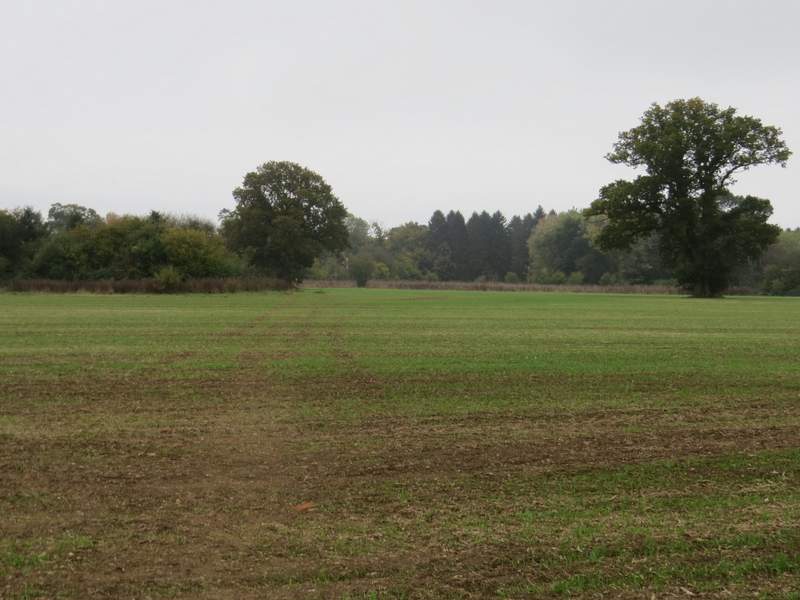
When the lane ended, I took a path on the right going into the wooded Hampden Common. I turned left when I reached a path T-junction, and followed the new path through the common to reach a drive. Here I turned right, the drive soon turning left to reach Denner Farm. Here the footpath went straight on over a grassy field. On reaching the far side, I turned left and continued through a smaller field to reach a lane. I went a few yards to my left, to where a footpath started down the gravel drive of a house on the right. The path went through a gate and across a small enclosure, then continued straight across a large paddock. It then ran down hill between fences. Immediately before reaching Rolls Lane, I turned right, following a path next to a hedge alongside the lane. The path ended at a T-junction where Rolls Lane met another lane.
The start of the path through Hampden Common
The path through Hampden Common
Approaching Denner Farm
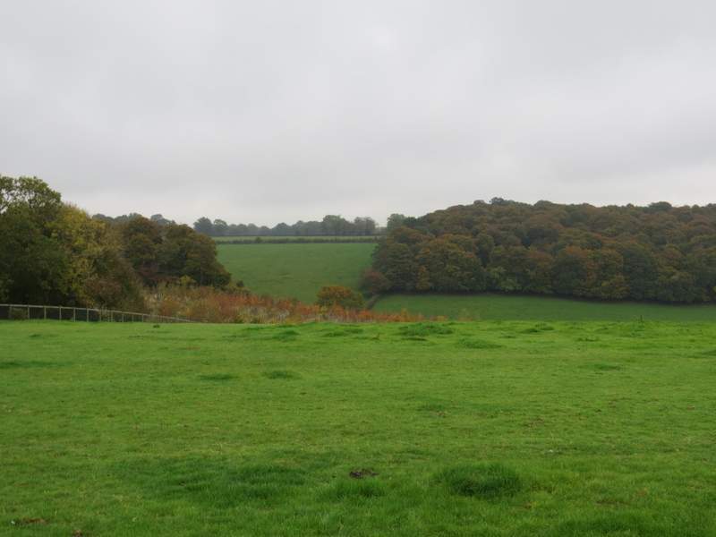
The large paddock on the path to Nanfan Wood (on the opposite side of the valley)

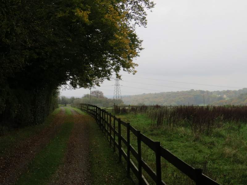
The path next to Rolls Lane