Pete's Walks- Sonning Common and Mapledurham (page 3 of 4)
If you are considering walking this route yourself, please see my disclaimer. You may also like to see these notes about the maps and GPX files.
The path now crossed a field, and continued round the left side of Haw Farm, before following the farm drive to its end. Here I turned left along a lane to reach a crossroads. I went down the lane opposite, but after passing a property on my left I turned left along a bridleway, the sign saying it went two miles to Mapledurham. I now became rather worried that I might struggle to get back to my car before it got dark, so I rather hurried along the bridleway. It initially ran between hedges either side, but further on it followed a surfaced drive, a section of it being an avenue with trees either side. When I reached the hamlet of Collins End, I sat and had my lunch at a picnic table under a tree to the left of the drive (it was now just after 1:30pm).

The path to Haw Farm

The path continuing past Haw Farm
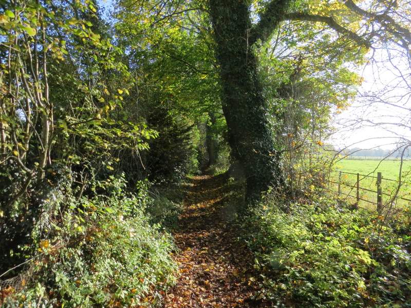
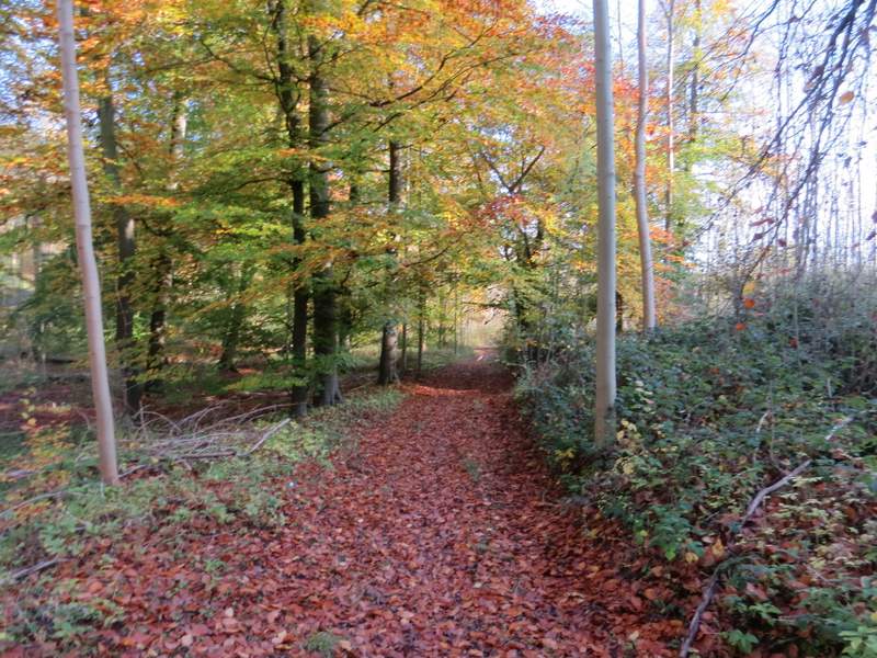
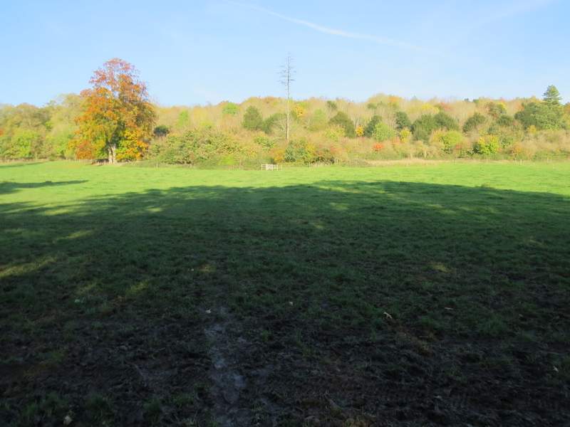
Near the start of the two-mile long bridleway to Mapledurham
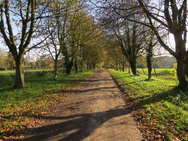
The bridleway continuing towards Collins End
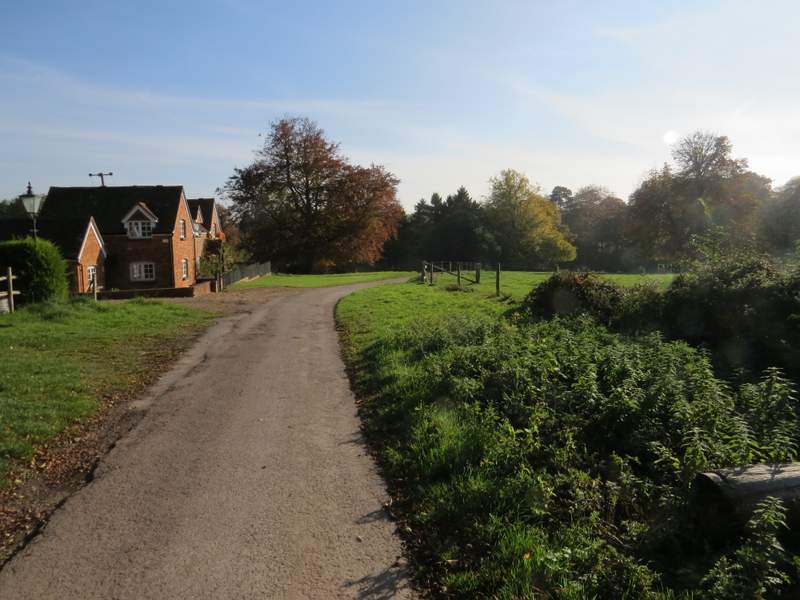
The bridleway passing through Collins End
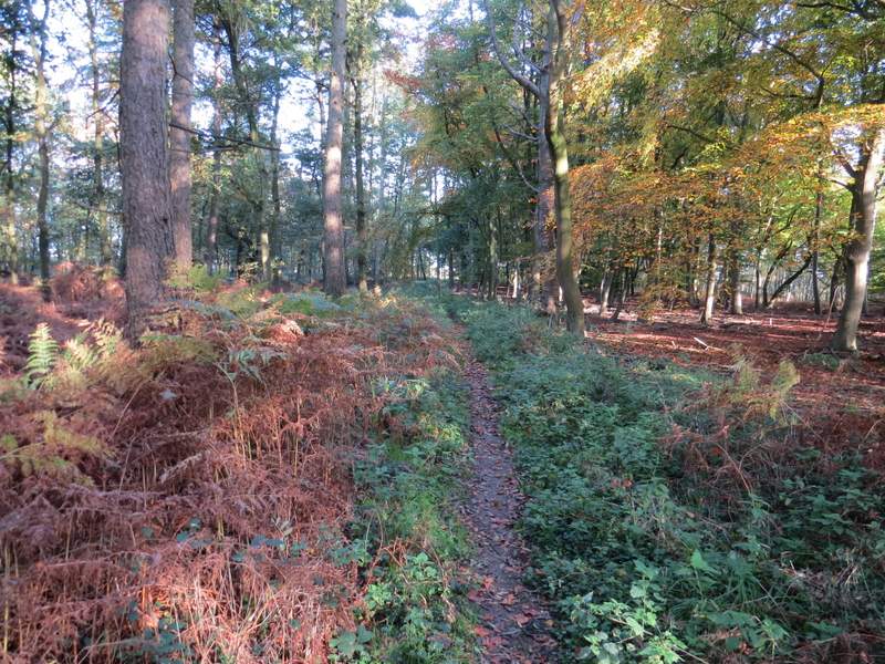
I then continued along the surfaced drive. On the edge of the hamlet, by a sign saying Holly Copse (I think), the bridleway joined a track descending very gently through a wood. There was initially a lot of rhododendrons either side, which I remembered from when I walked here on the Chiltern Way. At one point the bridleway went left where a broad path went straight on and started uphill. A few yards further on, at a path fork in the wood, the bridleway went left (while the Chiltern Way kept right). I continued along the bridleway as it continued through Long Ground Plantation. Beyond the wood, it carried on along a valley bottom, following a field boundary on my right. When a path came down the hillside on my left, just before I reached Bottom Farm, I was back on familiar territory (the path was part of the shorter route from Nuney Green I mentioned before). The bridleway finally ended when it reached the end of the drive from Bottom Farm. Here I turned right and followed a lane for a quarter of a mile or so to Mapledurham (I frequently had to step aside for cars, there was a Christmas Fair being held here).
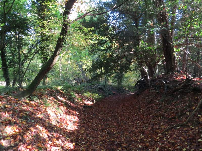
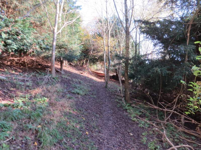
The bridleway continuing from Collins End
The bridleway continuing through Long Ground Plantation
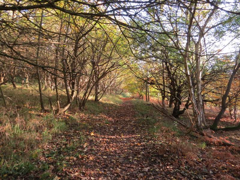
The bridleway continuing from Long Ground Plantation
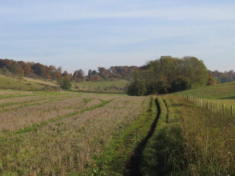
The bridleway approaching Bottom Farm
As soon as I reached the edge of Mapledurham I turned left (every other time I've been here I've walked the quarter of a mile or so each way through the village, to see Mapledurham House, the church, the almshouses and the mill on the Thames - see here for example) along a drive with a very long pasture on my left. I was now on the route of the Chiltern Way, which I would be following all the way back to Sonning Common. After two or three hundred yards, I took a path that crossed the pasture on my left to reach Park Wood. It then climbed quite steeply up through the wood. I remembered there being a statue somewhere along here on the right - I eventually spotted it, just before the path levelled out. The path then continued through the wood for another few hundred yards, crossing over a track in an area of bracken at one point. The path then crossed a stubble field to reach a junction of drives.
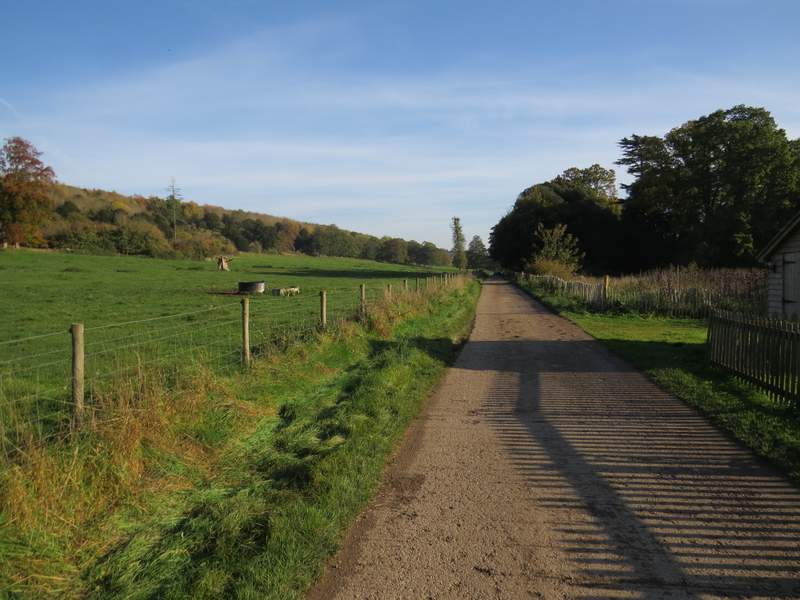
The drive on the edge of Mapledurham
Start of the path going east from Mapledurham, crossing a pasture northeast-wards to Park Wood
The path climbing through Park Wood
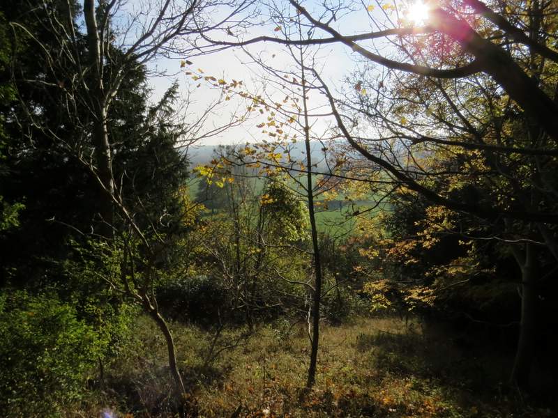
Looking out from Park Wood
The path through Park Wood, after it levels out
The last part of Park Wood, after I crossed a track
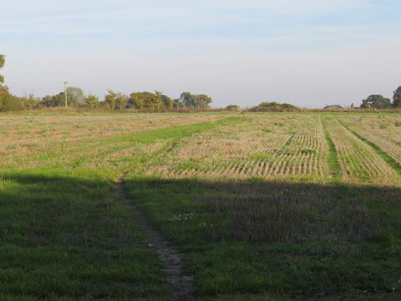
The path continuing from Park Wood