Pete's Walks- Sonning Common and Mapledurham (page 4 of 4)
If you are considering walking this route yourself, please see my disclaimer. You may also like to see these notes about the maps and GPX files.
I followed the drive going straight ahead, which soon brought me to Rose Farm. Here the path turned left in front of the farmhouse, and soon passed a wooden granary or shed raised on staddle stones. The path then continued between brambles and bushes for a time, before turning left on a track through Cavendish Park golf course. It then turned right, following a path (named Newell's Lane on the OS map) beside the golf course on my right.

The drive to Rose Farm
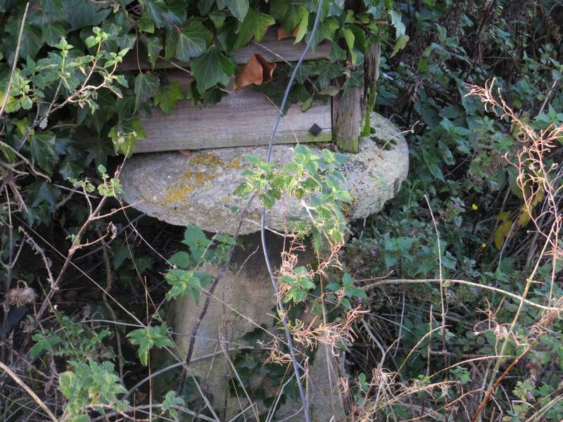
A small granary at Rose Farm was raised on old staddle stones (designed to prevent rats reaching the grain)
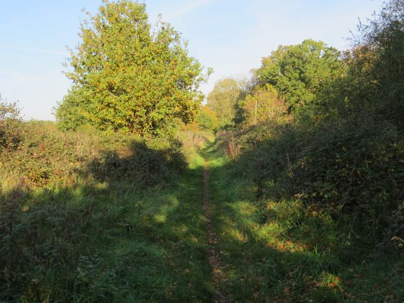
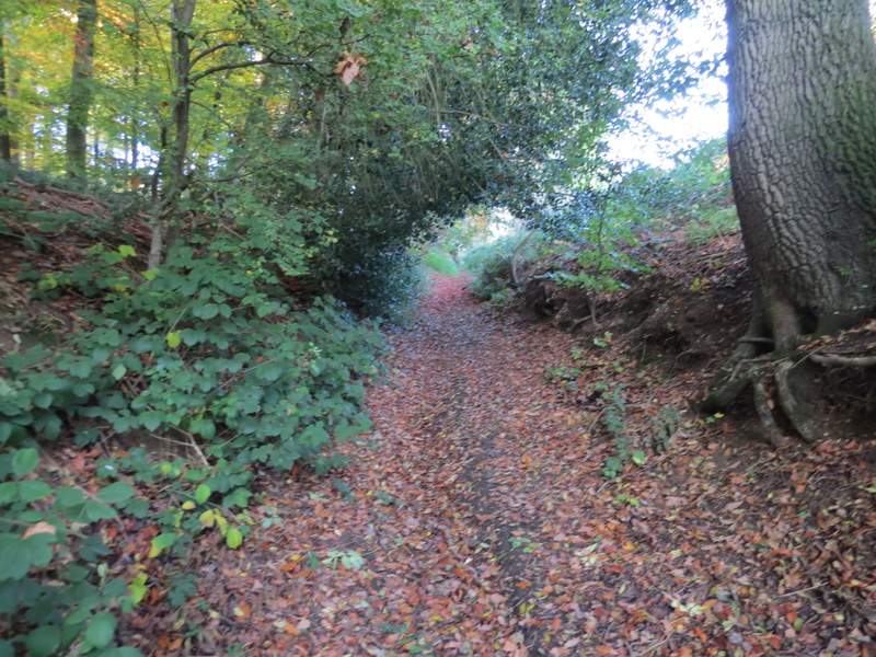
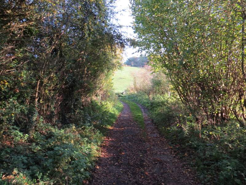
The path from Rose Farm
The path through the golf course
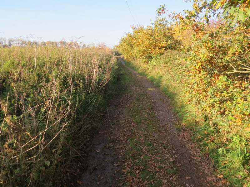
The path beside the golf course (Newell's Lane), after I turned right
The path beside the golf course
The path, or lane, ended at a road where I went a few yards left, then took a path starting on the right. I was pleased to see this was a sheep pasture (the path followed an electric fence through it) - the first time I came through here on the Chiltern Way in 2005 I had to fight my way through a field of shoulder-high maize where the path hadn't been reinstated. On the far side of the field I had to cross the A4704 again, then walked down Rokeby Avenue which started almost opposite the path. This residential street took me from Chazey Heath to Tokers Green. At its far end I went left, then forked right down what became Dysonswood Lane. After a while this deteriorated from being a surfaced lane to being a track. It turned left at the bottom of a slight valley, then turned right after a while to run up the other side of the valley and ended when it reached Chalkhousegreen Road.
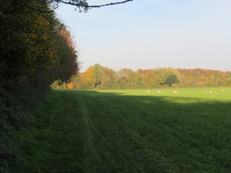
The path to Chazey Heath
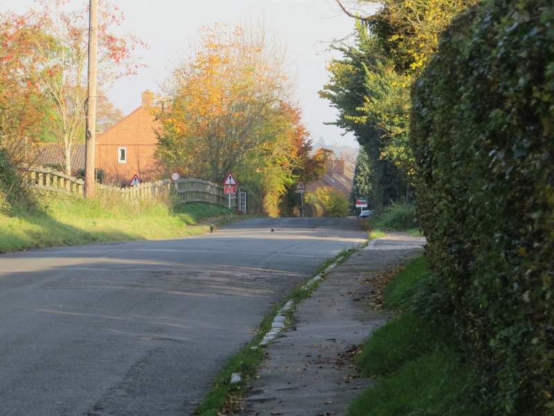
Rokesby Drive, from Chazey Heath to Tokers Green
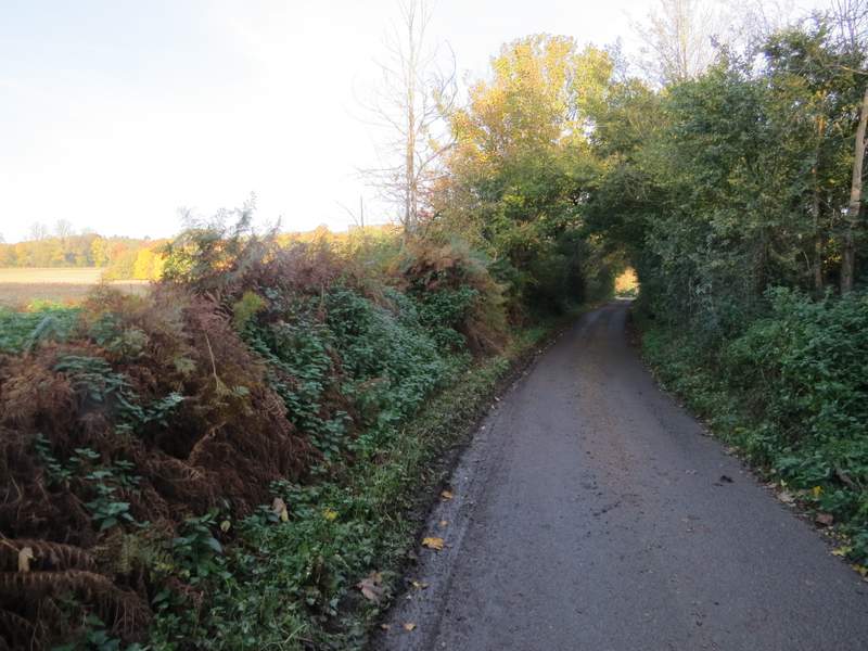
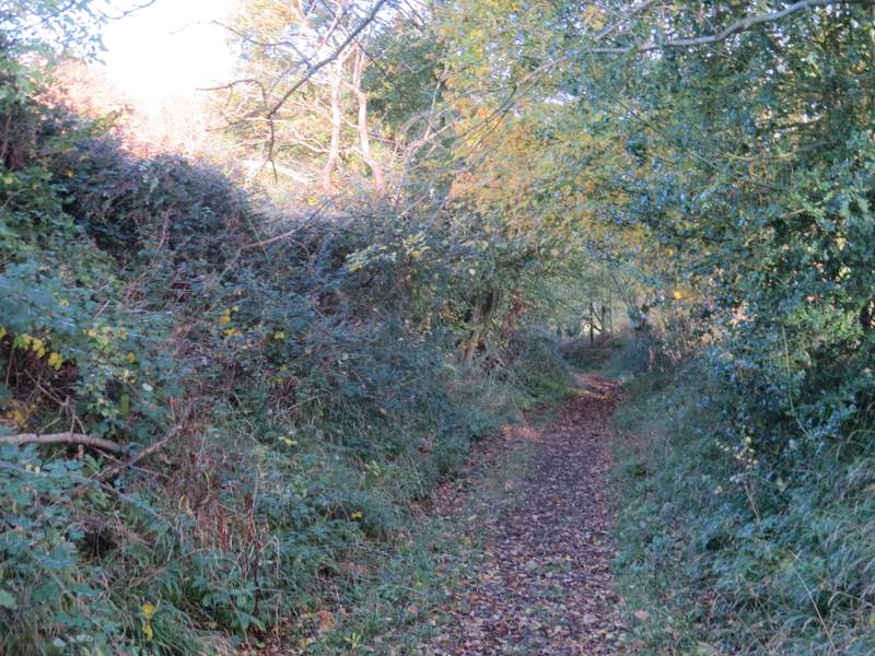
Dysonswood Lane
Dysonswood Lane
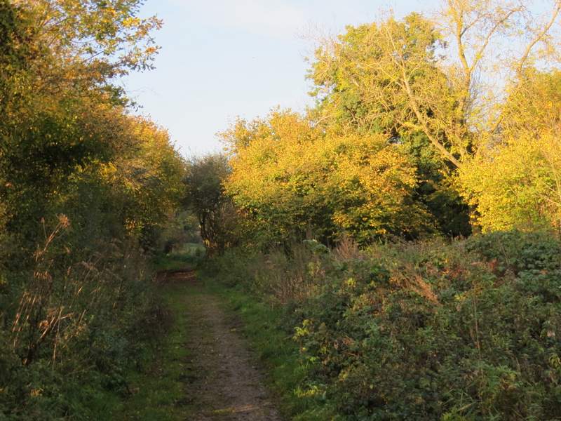
Dysonswood Lane
Dysonswood Lane
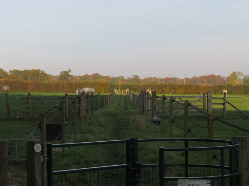
I turned right, and followed the road as it curved left (ignoring a lane going straight on) then followed a lane going left. When I reached the first house on the left, a footpath went down its drive and through its garden. A little further on, the path continued between fences (with horses on my right and cows in the field on my left). It then crossed a very large field of winter wheat to reach a road on the edge of Sonning Common. I went left, then turned right down a lane. After a few yards, I went through a gate on the left, and almost immediately turned right. This path where a path went round two sides of the Kennylands Millennium Green to return to my starting point. It was about 15:55pm when I got back to the car, so I still had about 45 minutes of daylight to spare.
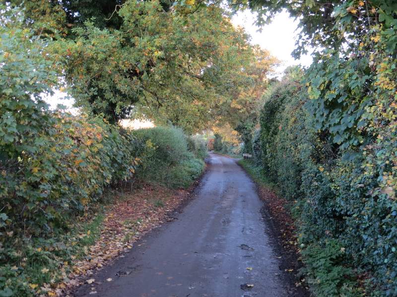
The lane through Chalkhouse Green
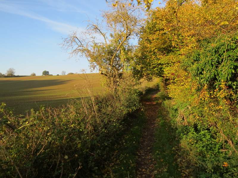
The path from Chalkhouse Green , going northwest
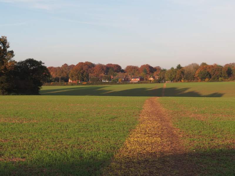
The path from Chalkhouse Green , going northwest
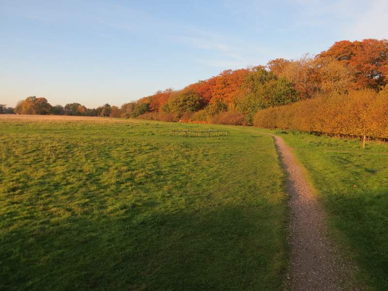
The Kennylands Millennium Green at Sonning Common
Apart from getting lost, I enjoyed this walk. Over half of it was new to me, and almost all the rest I'd only walked a couple of times before (and this was the first time I'd photographed these paths in this direction). I'd not walked from Sonning Common since the Chiltern Way in 2007, because it's a long way from my home (about 75-80 minutes drive) and the section of the Chiltern Way I did from here was one of the least interesting ones (apart from Mapledurham). But I'll have to come back and explore the area again sometime.
It was only when I thought about it later that I realised that this was a very flat route. The only real bit of uphill walking was the path through Park Wood after leaving Mapledurham (plus a short bit to Chalkhousegreen Road), and there was no steep downhill at all. There was a lot of woodland walking, which was particularly enjoyable at this time of year because of the lovely Autumn colours. Because of the flat nature of the route there weren't many long-distance views, but along several of the field paths and lanes there were pleasant views of fields and woods.