Pete's Walks- Great Missenden and Coombe Hill (page 3 of 5)
If you are considering walking this route yourself, please see my disclaimer. You may also like to see these notes about the maps and GPX files.
I took the surfaced path going right from the monument, following it until it turned right where I went straight on, with a bit of a wood on my right. In a corner of the wood, I went through a metal kissing-gate and went more or less straight on along a wide bridleway (the same one that I'd just walked in the opposite direction to get to the car park - fortunately it was nowhere near so muddy here). A few yards down the bridleway three mountain bikers pulled up beside me (they'd passed me earlier, I recognised them from the dog they had with them) and one suggested I might prefer to take the path a little way to the left instead of the bridleway, as the views were much better. I explained that I completely agreed with him about that and had actually considered going that way, but had chosen to stick to the bridleway as I hadn't walked it for a few years whereas I use the more scenic route over Bacombe Hill two or three times a year (for details of that path see here and follow the route from the monument on Coombe Hill until it reaches a bridleway and stile). Anyway, I continued down the bridleway (which was pleasant enough, just lacking the fine view of the other path) and was soon descending part of Bacombe Hill.
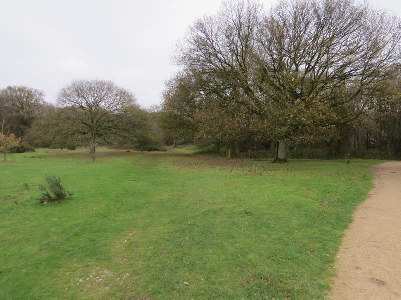
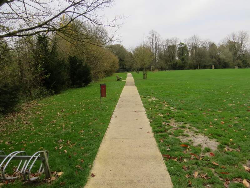
This is where I departed from the gravel path from the monument
Near the start of the bridleway to Bacombe Hill
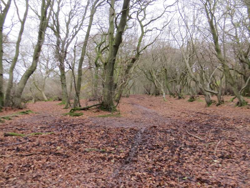
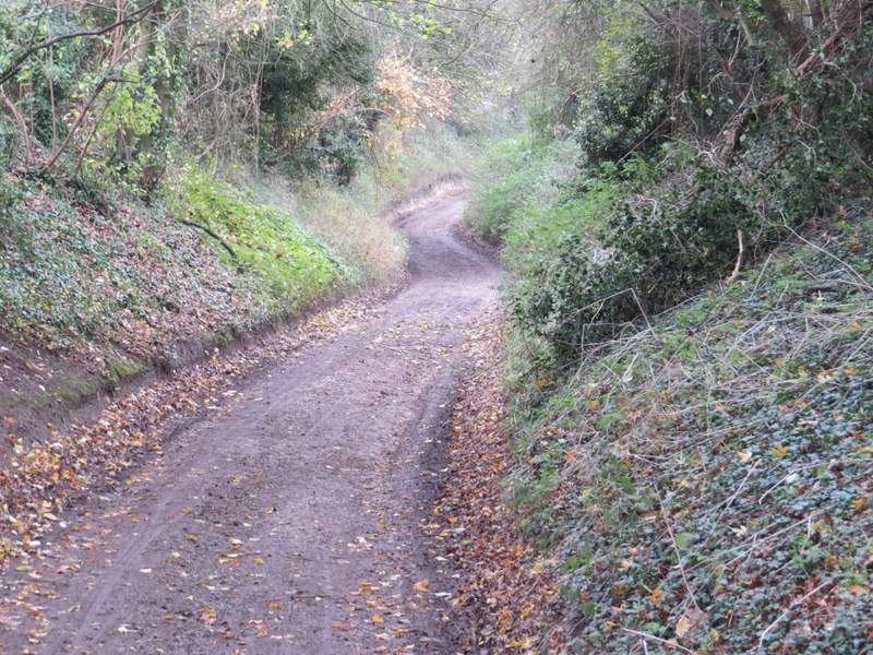
The bridleway to Bacombe Hill
Looking left from the bridleway
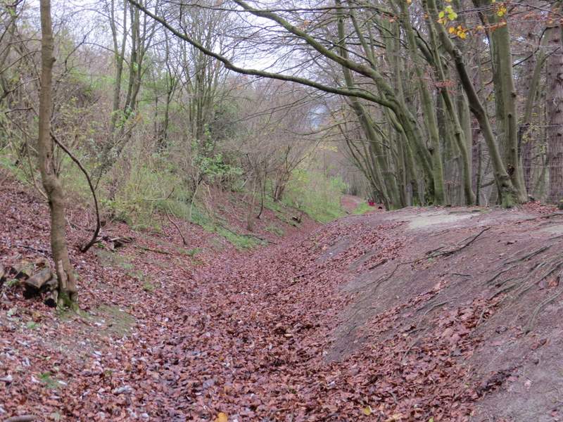
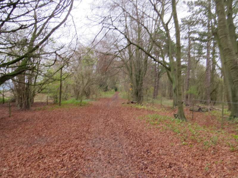
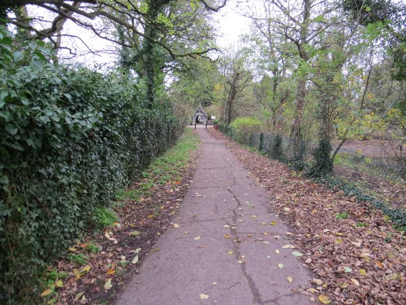
The bridleway descending Bacombe Hill
When I reached a stile on the right, I went over it - a lady with a dog here wanted to know if there were any horses in this paddock (there usually are) as she was rather afraid of them. Because of the slope and curves of the hill here I couldn't quite see if there were any horses in the near left corner, but I kept calling back to the lady as I followed the path downhill across the paddock, saying that I still couldn't see any. As I got near the other side she hurried down after me, and thanked me as I crossed the stile on the far side.
I turned left and followed Bacombe Lane all the way to its end at a road on the edge of Wendover. Here I turned right for a few yards, then went left down Chapel Lane. After two or three hundred yards I turned right and followed a path through a playing area just so I could make use of one of the seats there while I had my packed lunch (it was now about 1.20pm) - last time I did this route I turned right on a path immediately after the playing field. Lunch over, the path through the playing field soon joined the other path anyway, and I continued along it to reach a lane, opposite Wendover church.
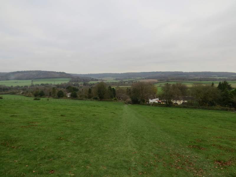
The path descending across an empty paddock to Bacombe
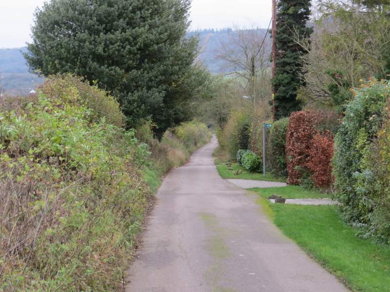
Bacombe Lane
Chapel Lane, Wendover
The path through the playing field at Wendover (I had my lunch on one of the benches here)
The path continuing towards Wendover church
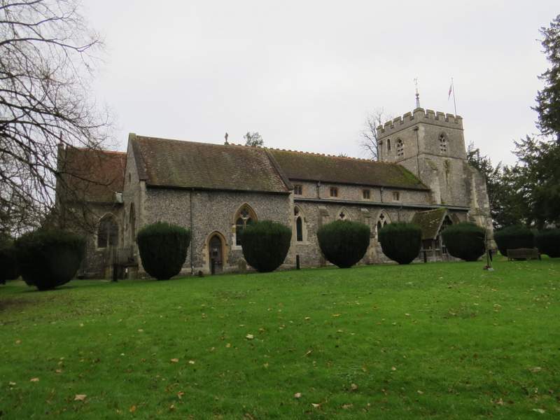
Wendover church
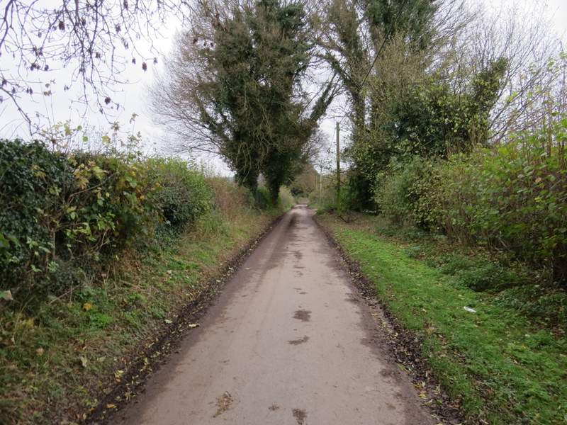
I turned left along the the lane, which soon brought me to a sort of crossroads (though the road markings showed the lane turned left here). I went straight on, along Hogtrough Lane - I've used this lane or track many times before (it's part of the Ridgeway and the Chiltern Link) but it struck me that it seemed a long time since I'd last been here. Hogtrough Lane led gently uphill for about half a mile, sometimes with views on my left to a valley called The Hale and to Wendover Woods, until just after passing Boswell's Farm I reached Barn Wood at the foot of a steep slope.
Near the start of Hogtrough Lane
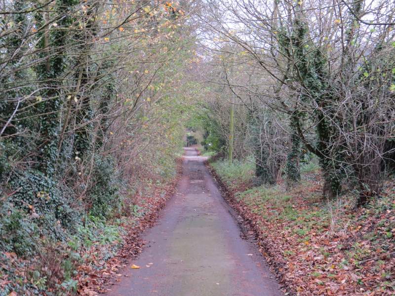
Hogtrough Lane
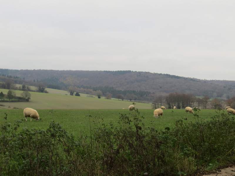
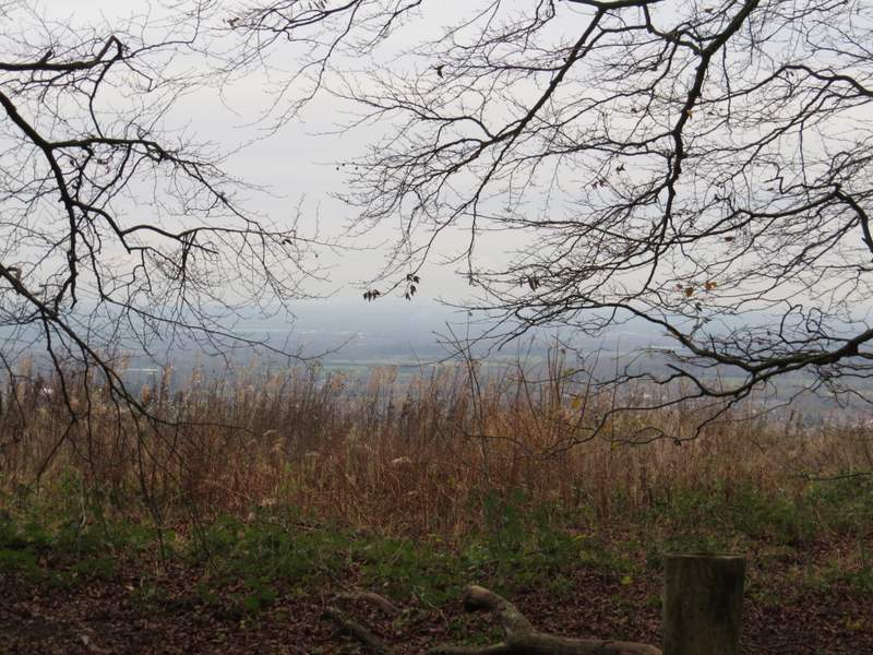
A view of part of the valley called The Hale and Wendover Woods, looking left from Hogtrough Lane
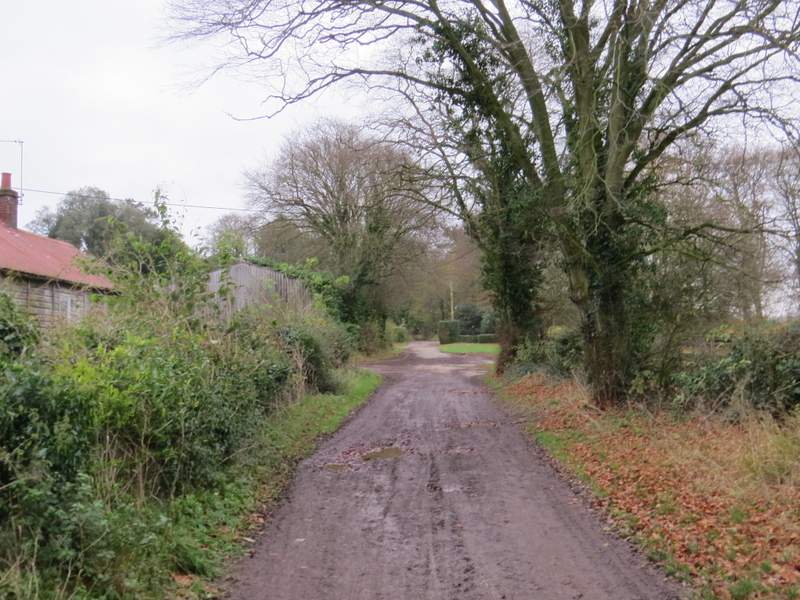
Hogtrough Lane, passing Boswell's Farm