Pete's Walks- West Wycombe, Speen, Hughenden (page 2 of 5)
If you are considering walking this route yourself, please see my disclaimer. You may also like to see these notes about the maps and GPX files.
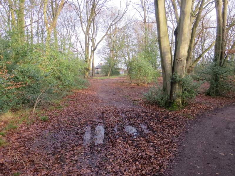
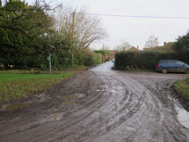
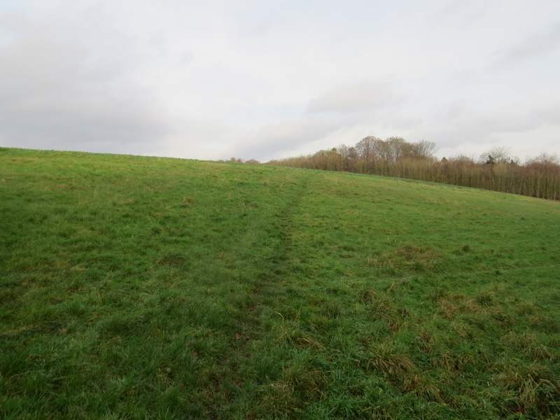
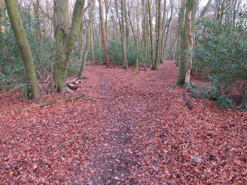
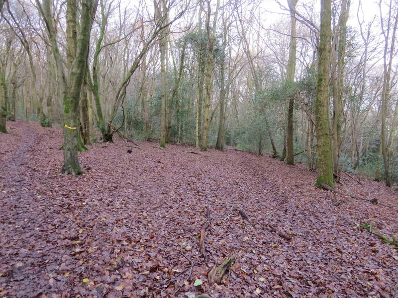
I continued along this bridleway through the woods of Naphill Common. At one point it joined a drive from some residences on the right, leaving it when it turned right. The bridleway went straight on for a short distance further to reach the edge of the common, beyond which it continued down a side-street to reach the minor road that runs through the village of Naphill. Here I turned left for maybe a hundred yards, before turning right down Clappins Lane, which appears to be the boundary here between Naphill and the adjoining village of Walter's Ash.
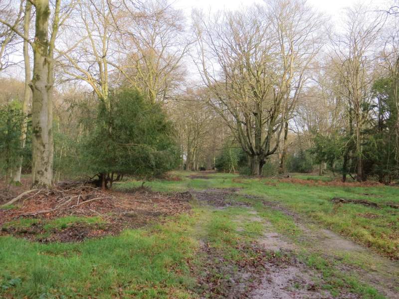
The bridleway continuing through Naphill Common
Further along the bridleway, where the drive turns right
Near the end of the bridleway, where it continues ahead down a side-street
Clappins Lane
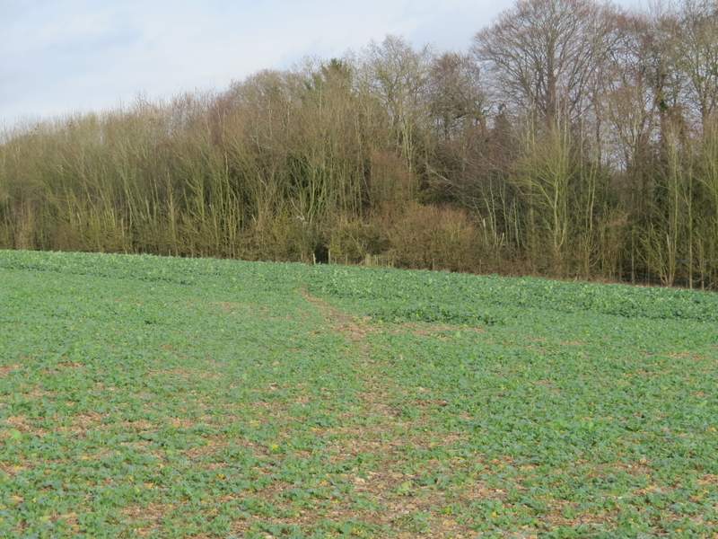
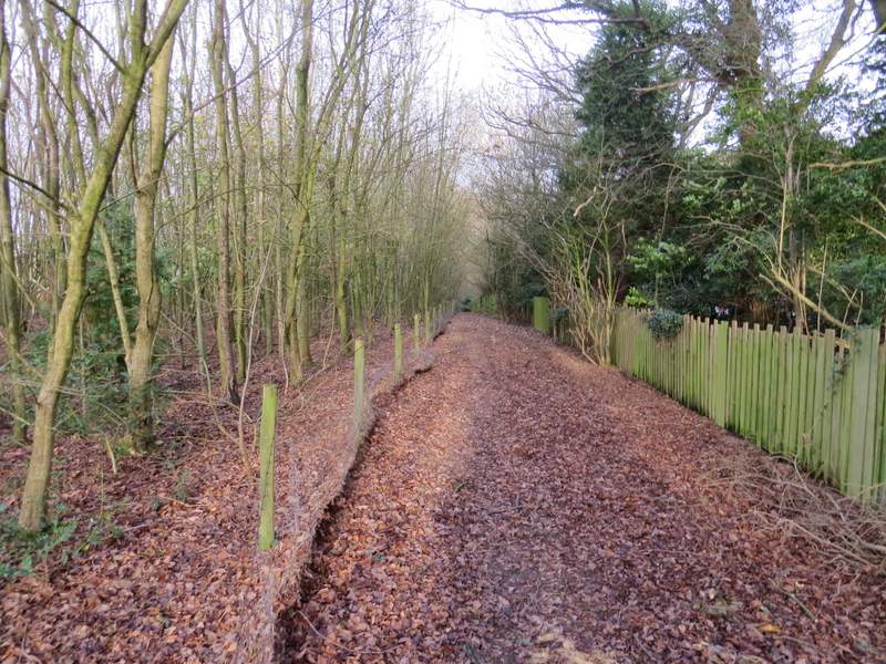
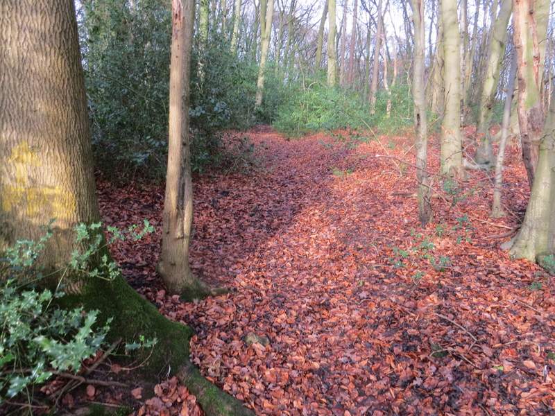
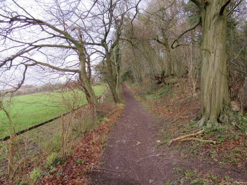
Shortly after passing the last houses on the right, I took a footpath that went half-left across a field to reach Courns Wood. Almost immediately the path was running between fences on either side. When these ended the path went straight on through the wood until I reached a path crossroads. Here I turned right, but after just a few yards I went left when this new path forked. After a while I came to a fork in the path that is not on the OS map, but yellow arrows indicated that I went straight on rather than slightly left. The path now started to drop downhill, and the part just before I reached the edge of the wood was quite steep.
The path going half-left from Clappins Lane to Courns Wood
The path approaching Courns Wood
The path through Courns Wood
The path through Courns Wood
This is looking right from the path crossroads in Courns Wood, to the fork where I went left
Courns Wood, where I went straight on rather than take the path forking left (which isn't on the OS map)
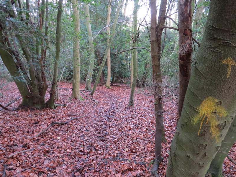
The path through Courns Wood
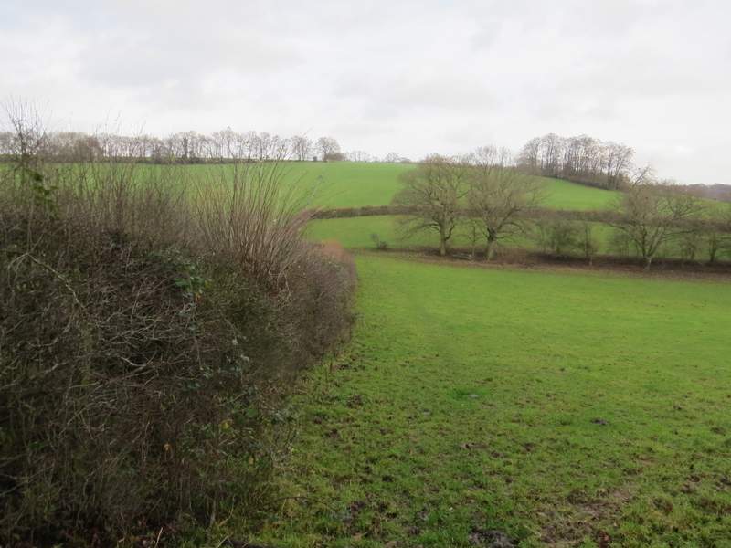
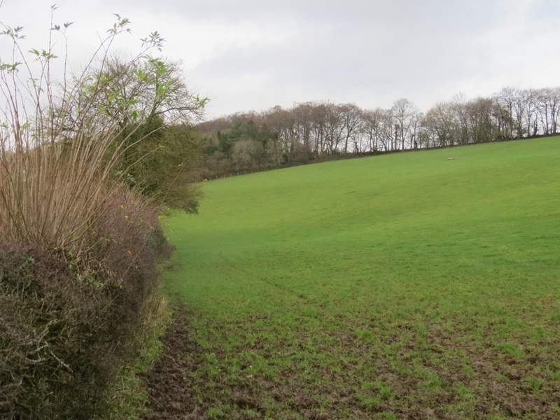
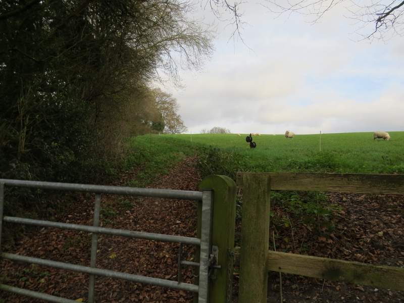
Beyond the wood the path followed a hedge on the left through an empty cattle pasture (it hadn't been empty for too long, judging by the copious amounts of fresh cow pats!), and then in the valley bottom it turned left through an open gateway to follow another hedgerow through a similar pasture. It was very muddy here but at least, as so often on this walk, I had the pleasure of the company of a few Red Kites flying low overhead. On the far side of the pasture I went over a stile and turned half-right on a path that gradually rose uphill, with a wood called Guy's Spring on my right. Beyond this wood the path continued between a hedge and an electric fence in a sheep pasture, until I reached a path crossroads on the edge of Speen.
The path continuing from Courns Wood
The path along the valley bottom - this was very muddy
The path rising uphill towards Speen, beside a wood called Guy's Spring
The path rising uphill towards Speen, where Guy's Spring ends