Pete's Walks- West Wycombe, Speen, Hughenden (page 3 of 5)
If you are considering walking this route yourself, please see my disclaimer. You may also like to see these notes about the maps and GPX files.
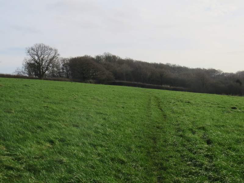
I turned left and followed a track or drive to reach a minor road in Speen, where I turned right. I followed the road all the way through the village (the natives were very friendly - a lady stopped and asked about the photos I was taking, another lady gave me a very friendly 'hello' as we passed, and a car driver even stopped to ask if I needed help when I paused by the side of the road!) and carried on until I reached Spring Coppice Lane, coming in on the left. A few yards along the lane a footpath started, crossing a paddock or pasture and then a much larger field (with a nice view towards Upper North Dean on my right). The path then continued along a short track to reach a path junction, where I went half-left through a small wood. On the other side of the wood, a half-hidden stile took me into a paddock where the path continued in roughly the same direction to reach a small gate (marked by a tall white-topped post). The path then followed a wooden fence through a small enclosure, then went through a gate and crossed a lawn to a gravel driveway, where I went right to reach Piggott's Wood.
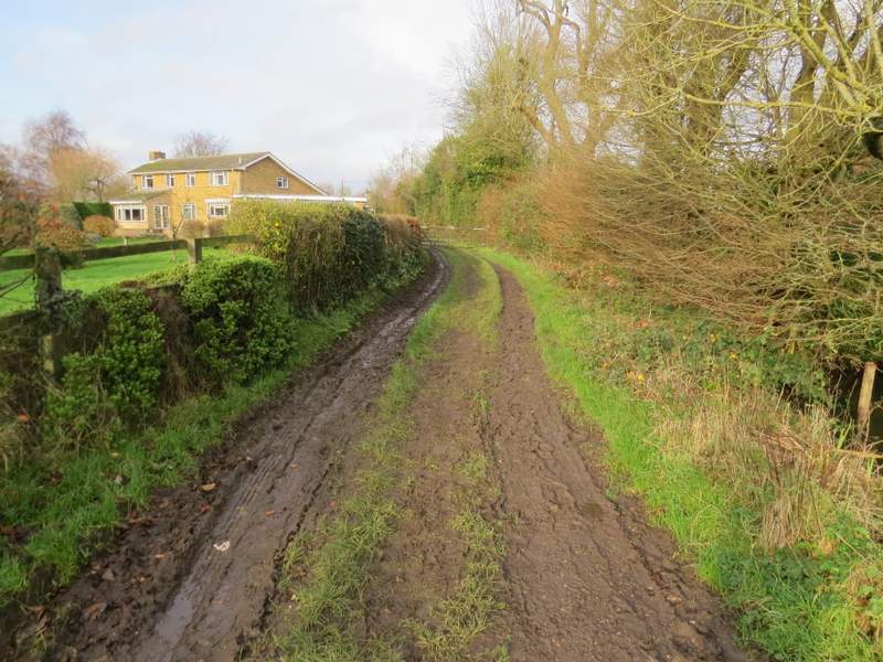
The track into Speen, after I turned left at a path crossroads
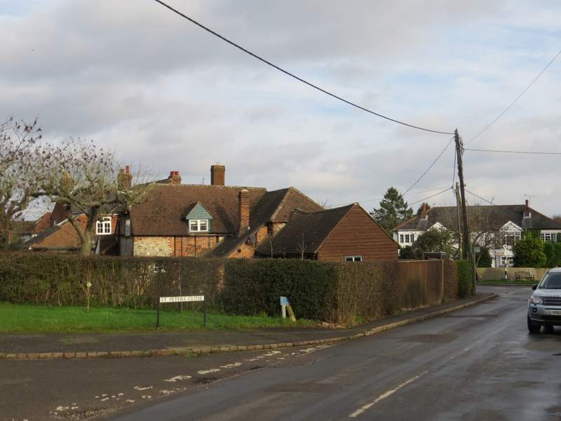
Speen
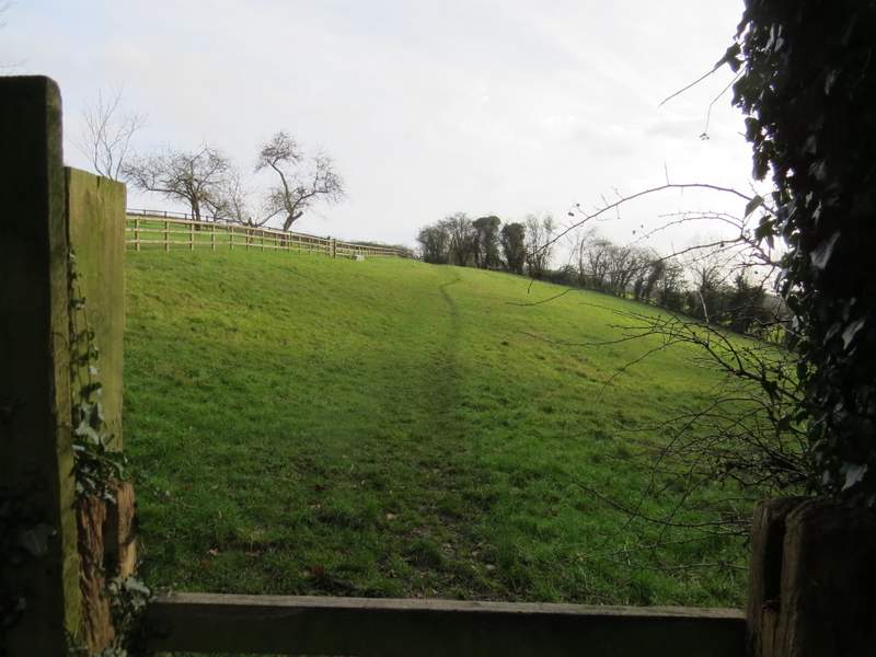
The start of the path from Spring Coppice Lane
The path from Spring Coppice Lane
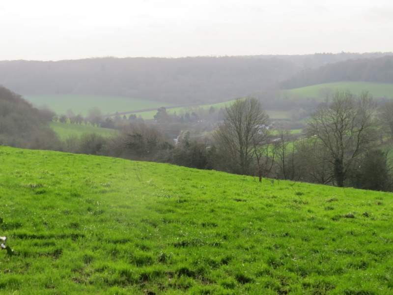
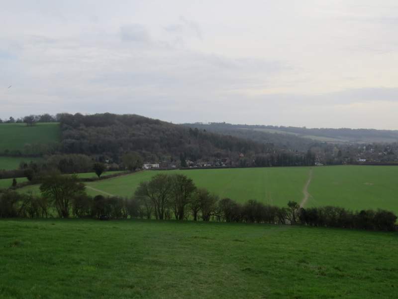
View looking half-right from the path from Spring Coppice Lane, towards Upper North Dean
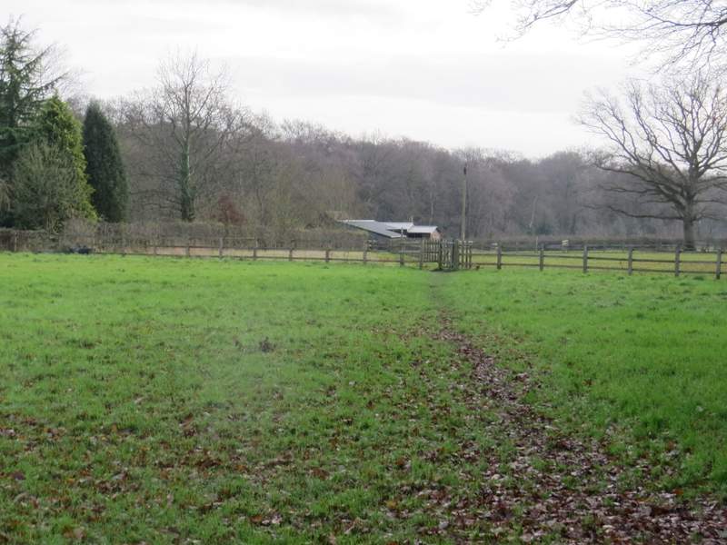
The path continuing through a paddock, heading towards Piggott's Wood
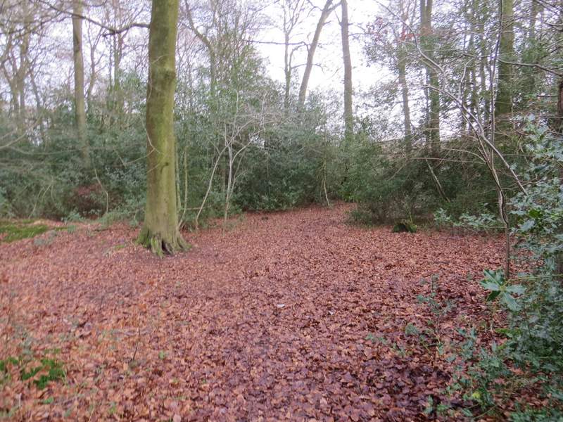
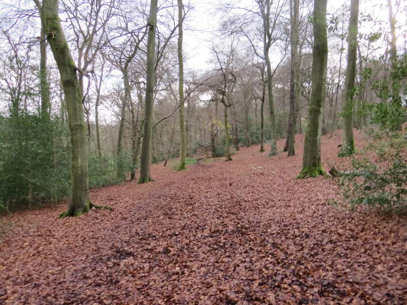
Two footpaths started off into Piggott's Wood from this point, and I took the one that soon turned half-right (a dark arrow on a tree pointed the way). After a while I came to a path T-junction where I turned left for a few yards, before turning right at another junction to resume the general direction I'd been on before. The OS map shows another staggered junction further on, but I didn't notice that now or on the other two times I've walked through the wood. I did eventually reach a path T-junction near the far side of the wood (in fact a path went straight on as well, but the map shows that it is not a public footpath and this is not an 'open access' area). I turned right for a hundred yards or so to reach another junction where I turned left and soon reached the edge of the wood (by which point I'd walked almost a mile through the wood).
The start of the path through Piggott's Wood (the dark arrow on the tree points the way)
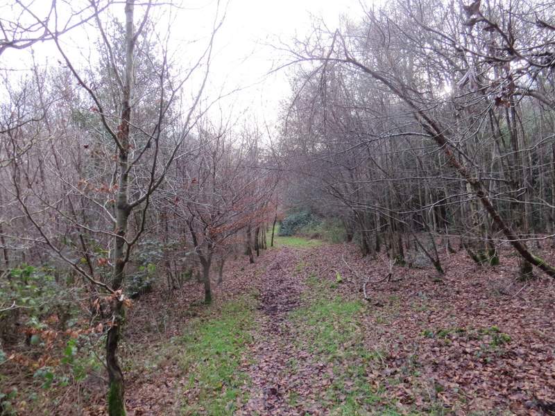
The path through Piggott's Wood
The path through Piggott's Wood
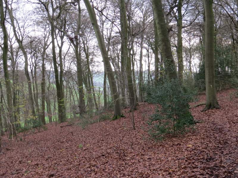
The path through Piggott's Wood
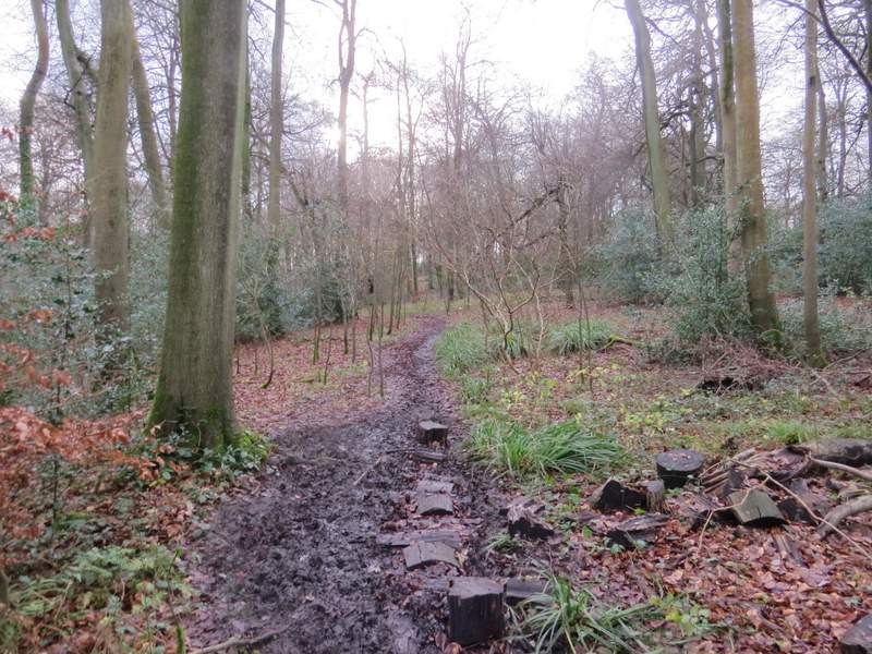
The path through Piggott's Wood - note the wooden 'stepping stones'
A clear path went half-left from the wood, soon passing just left of two prominent conifers and dropping quite steeply. There was a good view ahead to Hughenden and the Hughenden Valley. After going through a kissing-gate in a hedgerow, I continued straight ahead (another path went half-left) through a very large field to reach a road on the northern edge of Hughenden.
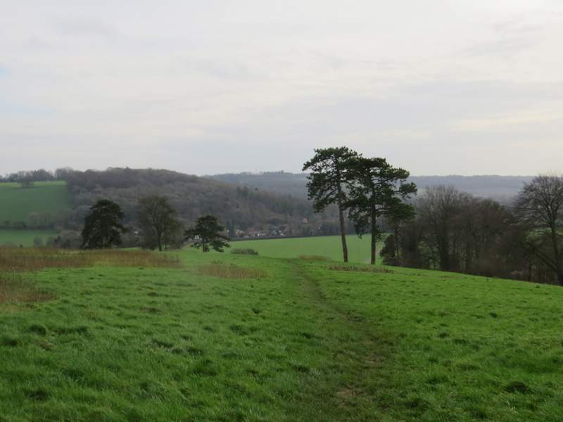
The path from Piggott's Wood to Hughenden
The path from Piggott's Wood to Hughenden (I took the rightmost of the two paths in the next field)