Pete's Walks- West Wycombe, Speen, Hughenden (page 4 of 5)
If you are considering walking this route yourself, please see my disclaimer. You may also like to see these notes about the maps and GPX files.
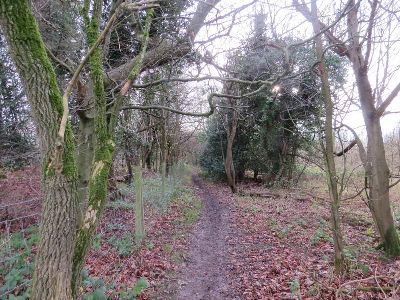
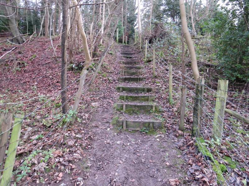
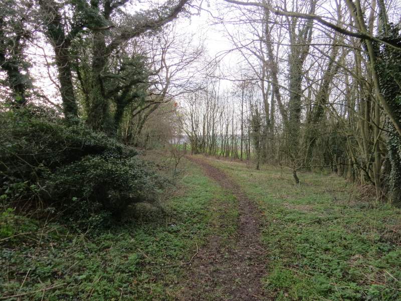
Across the road, a footpath sign on the post supporting a pub sign ("The Harrow") indicated where a path went through a gate and across the garden of the pub. It went through a gate on the other side, and then soon crossed a residential street. There then began a long and fairly steep path on 'steps' through a wood (Longrove Plantations, I think). I was pleased to find it wasn't quite as steep as I remembered, nor quite as long. At the top there was a nice view on my left over a field towards a meeting of valleys (one of which was Bryant's Bottom, which I passed through on the other walk I've done that's visited Speen). On reaching a path crossroads, I turned right and followed a path that descended through another part of Longrove Plantations to reach Boss Lane.
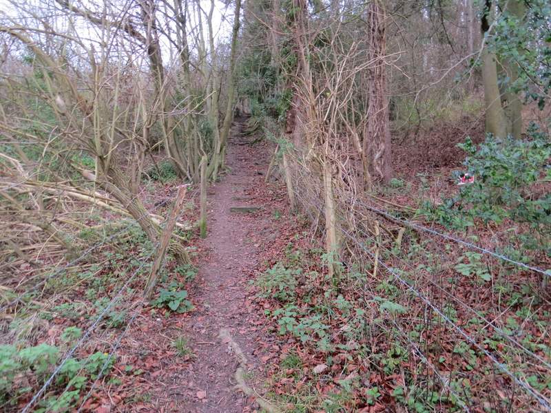
The start of the steep climb from Hughenden
The steep climb from Hughenden (my camera is lying about the steepness, as usual)
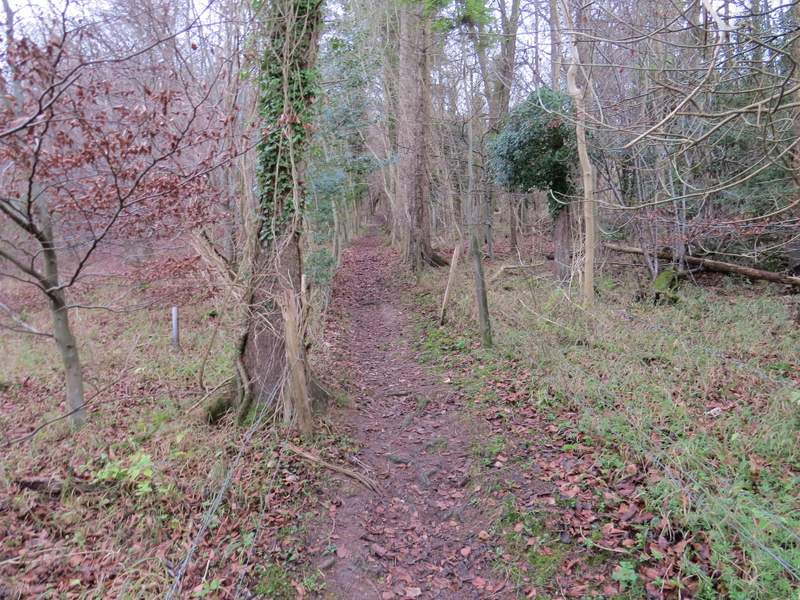
The path from Hughenden, after the gradient eased
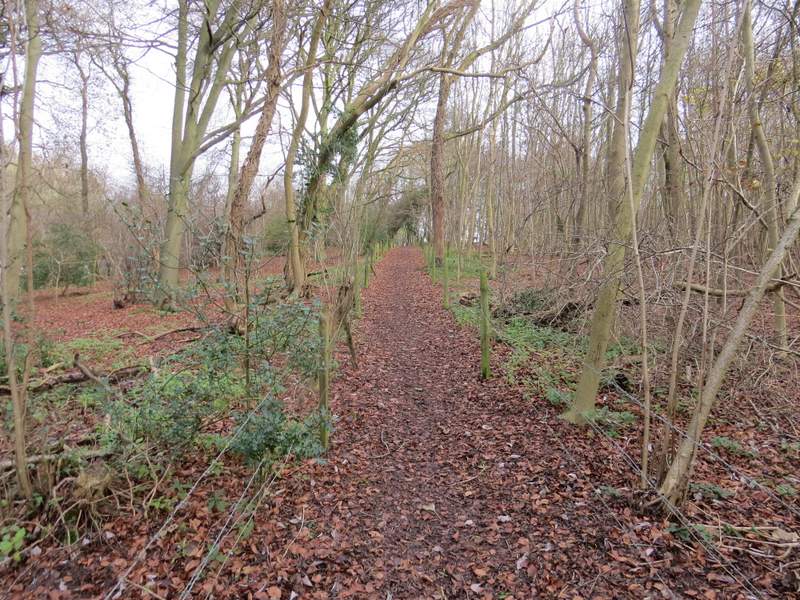
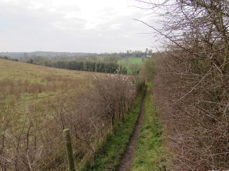
The path from Hughenden, where it leaves the wood
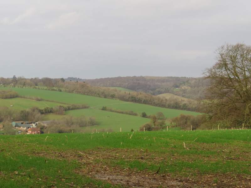
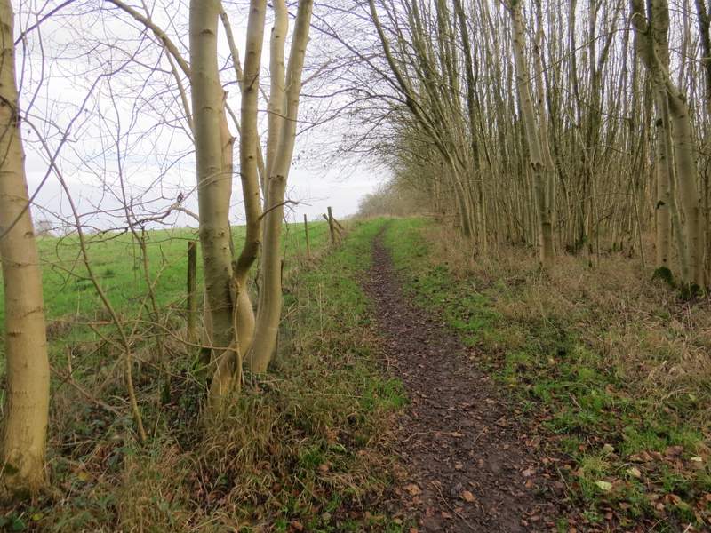
Looking left from a little further along the path
The start of the path after I turned right
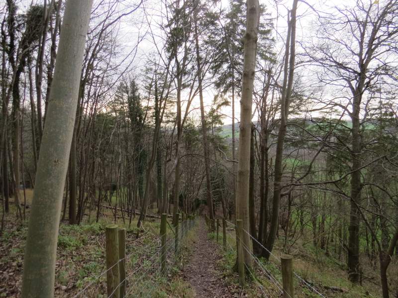
The path descending towards Boss Lane
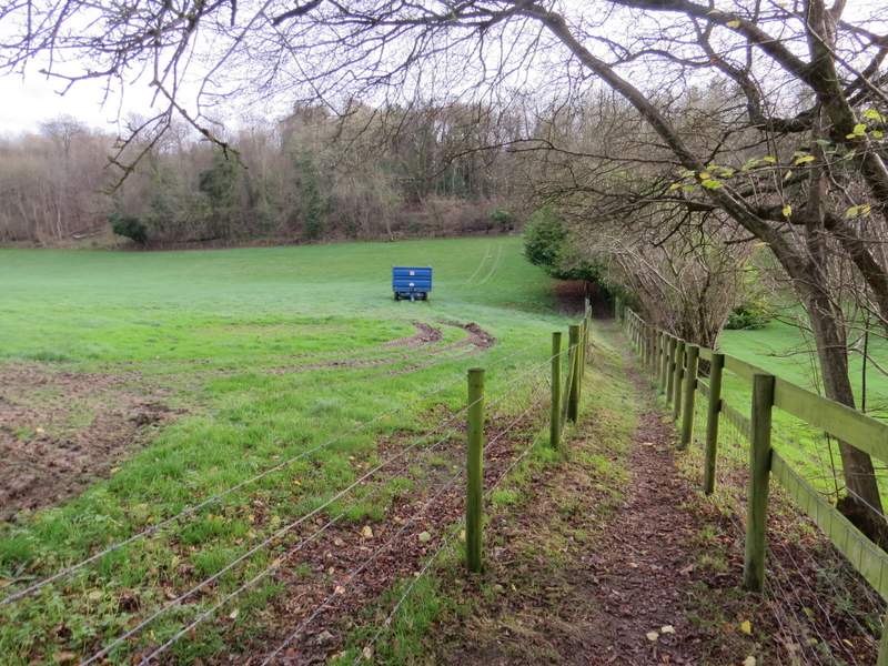
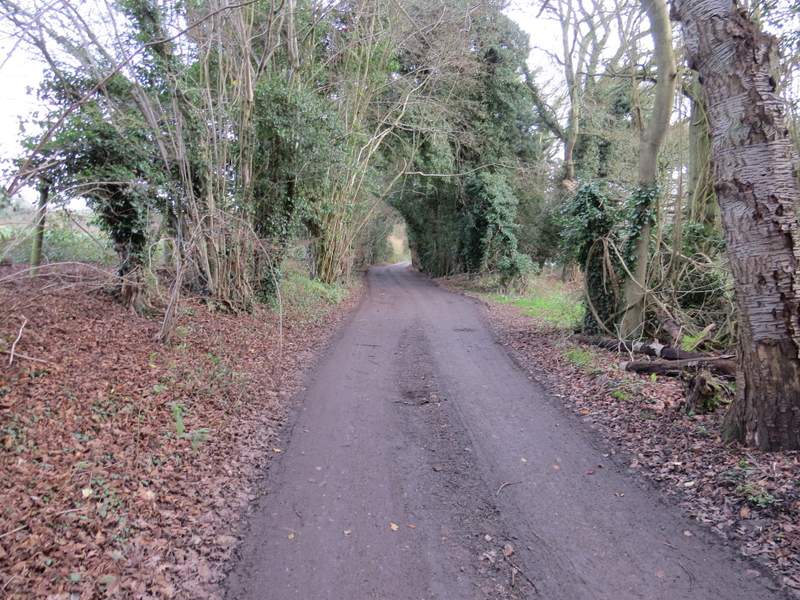
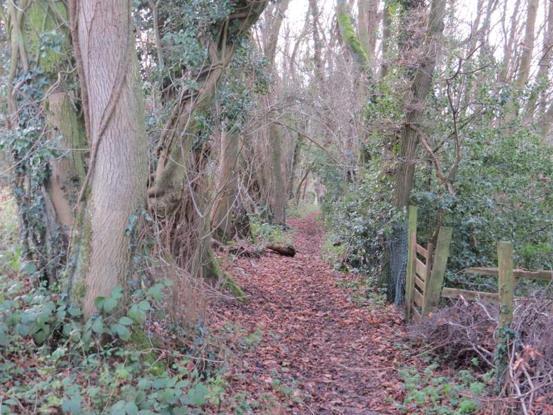
I went a few yards left along Boss Lane, then took a footpath on the other side. This ran between fences, separating a field and a garden, then climbed through a small wood and soon turned half-left. Eventually it came to a stile, over which I continued down a long drive to reach a main road as it entered Cryers Hill.
The start of the path from the other side of Boss Lane
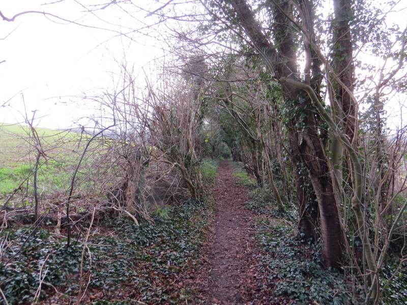
The path from Boss Lane to Cryers Hill
The path from Boss Lane to Cryers Hill
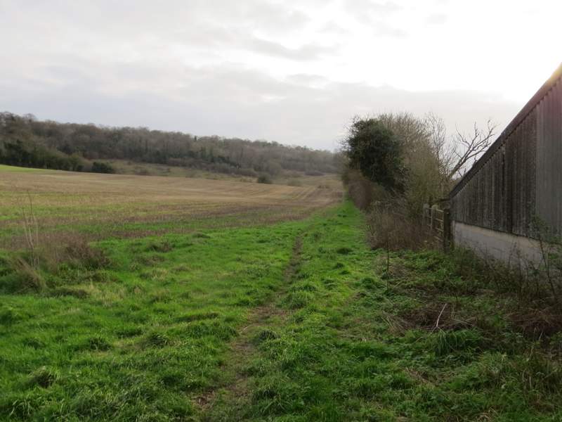
The path from Boss Lane to Cryers Hill, along the private drive
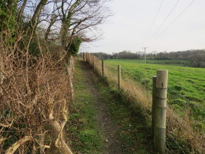
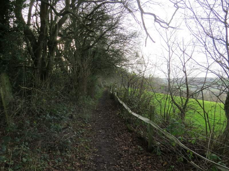
I then took a footpath starting on the other side of the road. This ran between hedges either side, soon with a view over a field on my right. Further on, there were the fences of some very long gardens on my right. Beyond the gardens the path continued between hedges, and I had some fairly close views of Red Kites over the field on my left. About three-quarters of a mile after crossing the road, the path entered a field, where I turned right and then left in the field corner. On reaching the next field corner the footpath ended, and I turned right on a bridleway (named Church Lane on the OS map). I was treated to a close up view of a couple of charming Long-tailed Tits in the left-hand hedge here, before the bridleway took me to a main road, almost opposite the entrance to the grounds of Hughenden Manor..
Near the start of the path from Cryers Hill
The path from Cryers Hill
The path from Cryers Hill
The path from Cryers Hill
The path from Cryers Hill
The bridleway (named Church Lane on the OS map)