Pete's Walks- West Wycombe, Speen, Hughenden (page 5 of 5)
If you are considering walking this route yourself, please see my disclaimer. You may also like to see these notes about the maps and GPX files.
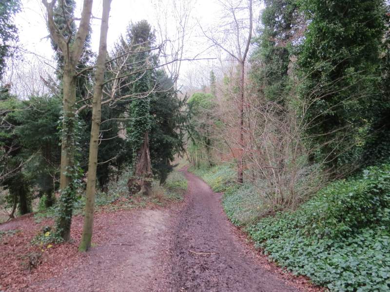
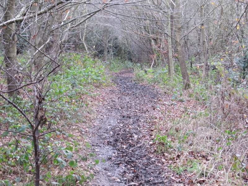
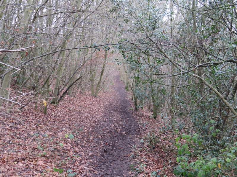
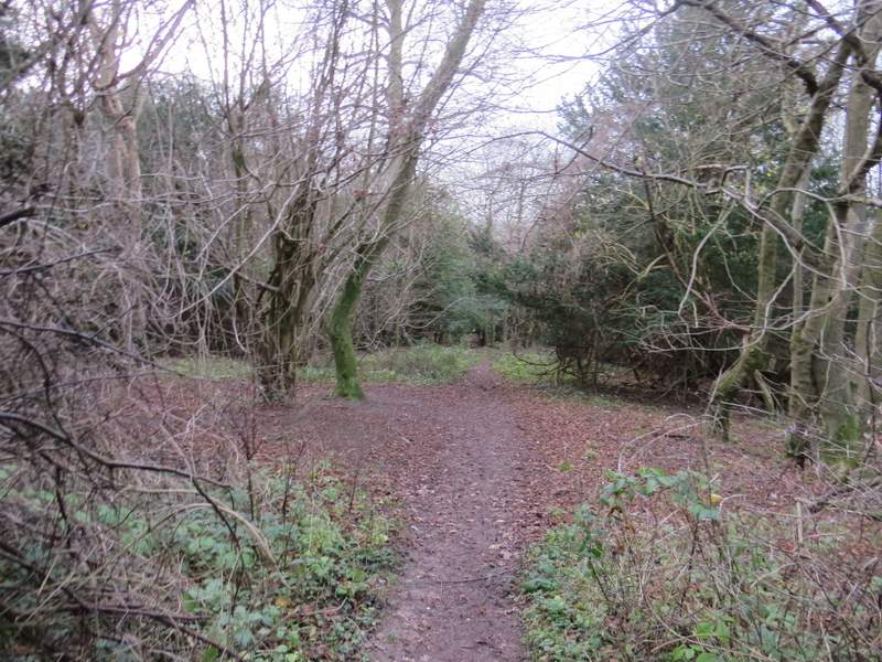
I went down the drive to Hughenden Manor (now run by the National Trust, it was once the home of the Benjamin Disraeli, a Prime Minister during Queen Victoria's reign), which soon crossed a stream (a tributary of the River Wye that runs through High Wycombe). When I came to a fork in the drive, I went left to the church and continued along a path through the churchyard. This path continued straight on through more of the park surrounding the big house, but soon came back to the other part of the drive. I followed it straight on, between walls and outbuildings, soon passing the entrance to the Manor itself on my left. The route of the bridleway I was following seemed to be marked my horse-rider signs on wooden finger posts. Beyond the grand house, the bridleway descended gently through a wood, then continued between a hedge and a fence on my right to reach a larger wood, Common Wood. The bridleway went straight on through the wood (going slightly left, not right, at a big junction in the middle of the wood) and eventually joined a drive that led to a lane (Moor Lane) in Downley. I turned right and followed the lane to its end at a T-junction.
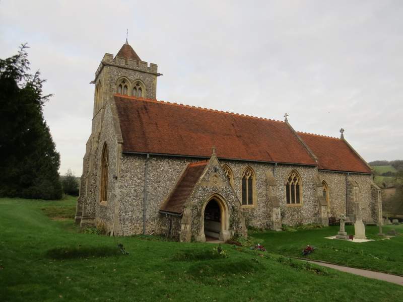
Hughenden church
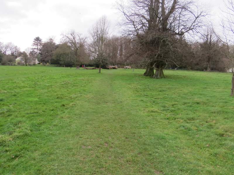
The path from the church, continuing through the park around Hughenden Manor
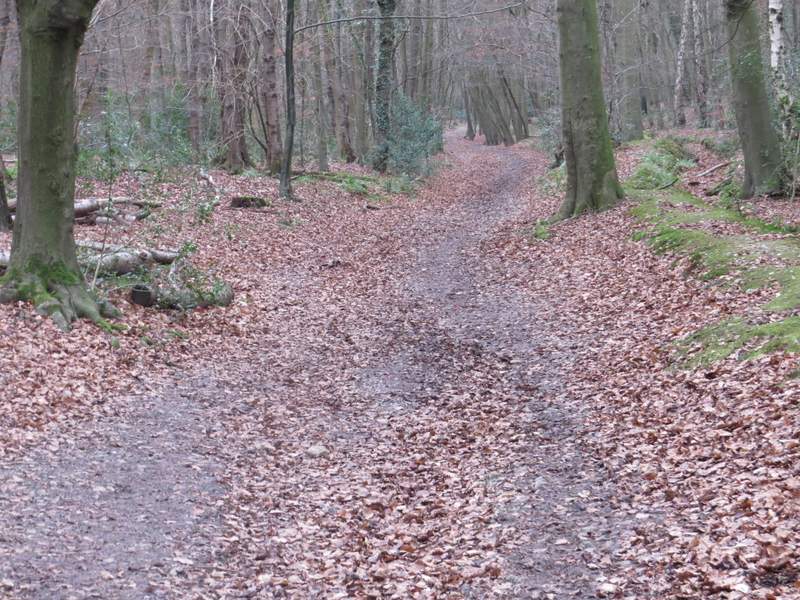
The bridleway from Hughenden Manor
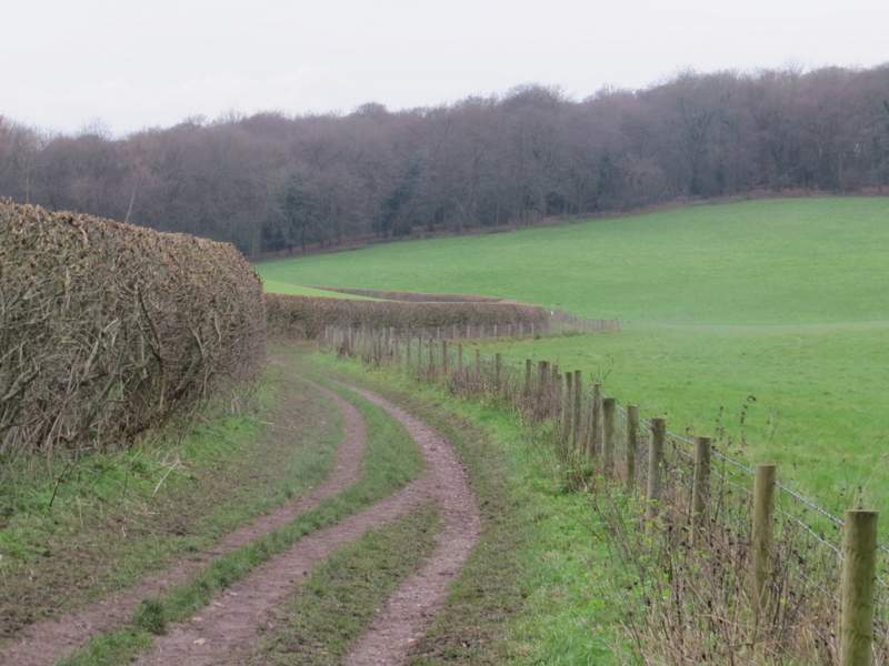
The bridleway from Hughenden Manor
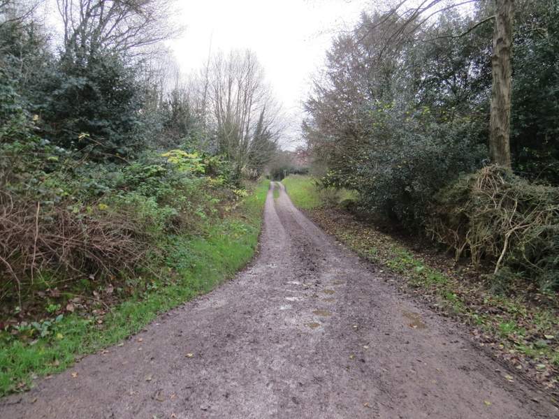
The bridleway continuing through Common Wood
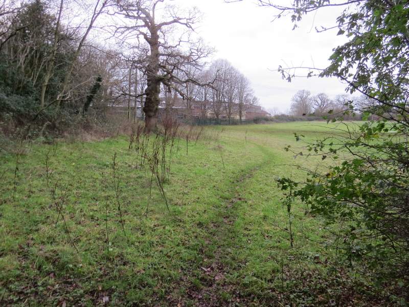
The bridleway approaching Downley
I turned right for a short distance, then took a footpath going down a track on the other side of the road. After a few yards the footpath forked slightly right from the track, and was soon running along the left edge of a meadow or paddock. Beyond this, it passed a pond on the left and emerged at the entrance to a school, on my right. Just a few yards beyond the school entrance I turned down a bridleway on the right, which initially ran between garden fences and the school on my right. Just after the garden fences ended I came to a path junction where I turned right (alternatively I could have followed the bridleway for another half-mile to its end and turned left). The new path ran through Branch Wood, staying quite close to the edge of Downley on my left. I ignored several minor path crossings, until after almost half a mile I came to a more major junction (immediately after a small Yew tree on the left) - there were no waymarks but I correctly guessed I needed to turn right (rather than straight on, where the path appeared to start bearing left). After a hundred yards or so I came to another T-junction (with waymarks, so this is presumably the junction shown on the OS map) where I again turned right and soon came to the edge of the wood.
The path through a meadow or paddock, near the school at Downley
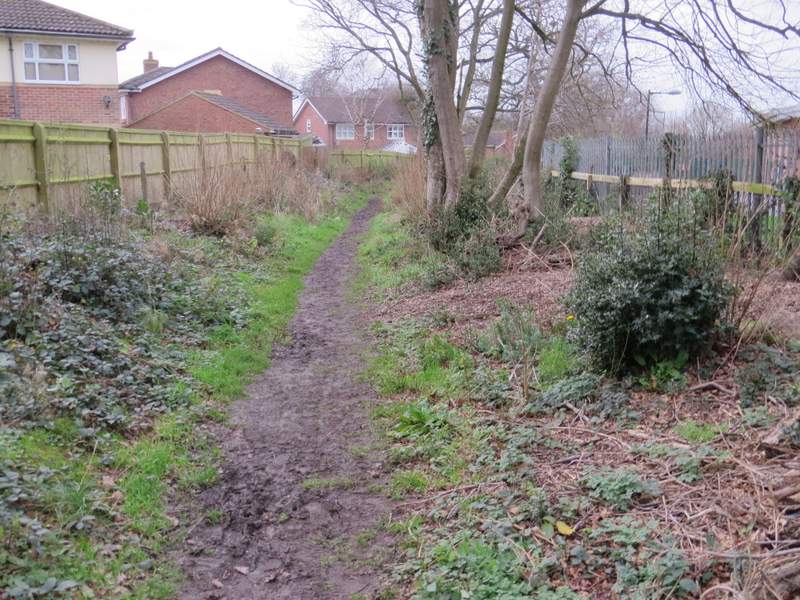
The path from Downley, between the garden fences and the school
The path through Branch Wood
The path through Branch Wood
The path through Branch Wood, approaching the second junction where I went right
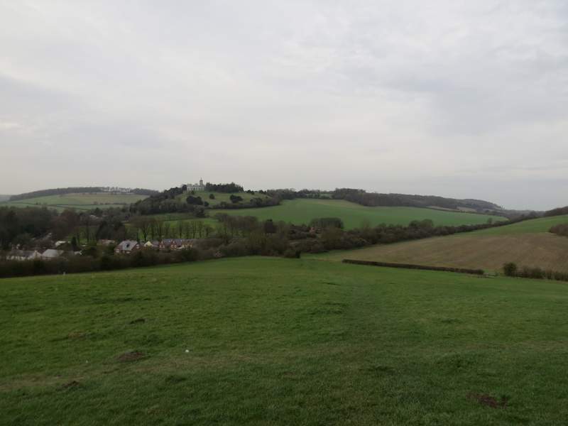
There were some nice views from the edge of the wood. The path descended now across a grassy field (aiming just right of the Mausoleum and church on West Wycombe Hill) to reach a track where I turned left (the alternative route I just mentioned would come in from the right here). The track soon passed under a railway bridge and then passed some houses on the left. It ended by a roundabout, where I crossed over and took the road going more or less in the same direction as the track, this being the A40. I followed it through West Wycombe, admiring the numerous old buildings here, and then turned right to return to the car park where I'd started.
The path continuing from Branch Wood
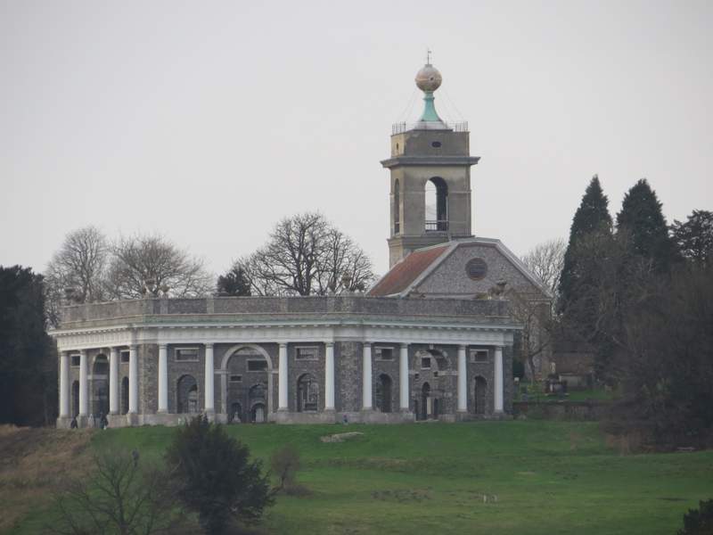
Zoomed-in shot of the Dashwood Mausoleum and St Lawrence's church on West Wycombe church
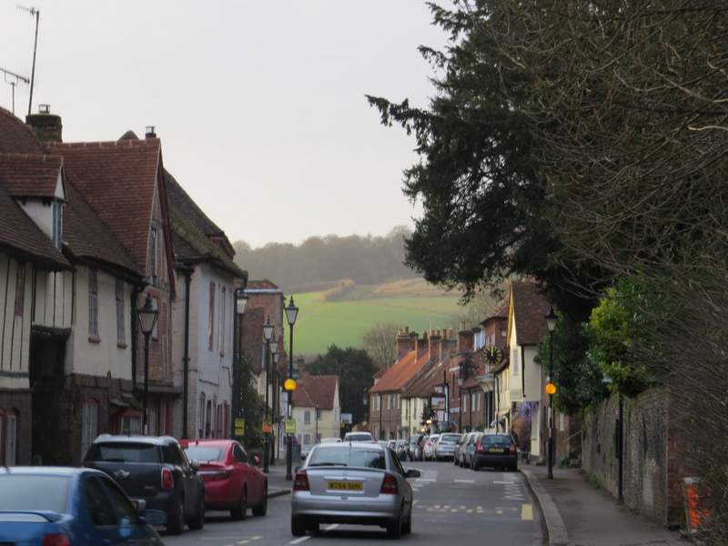
The A40 through West Wycombe
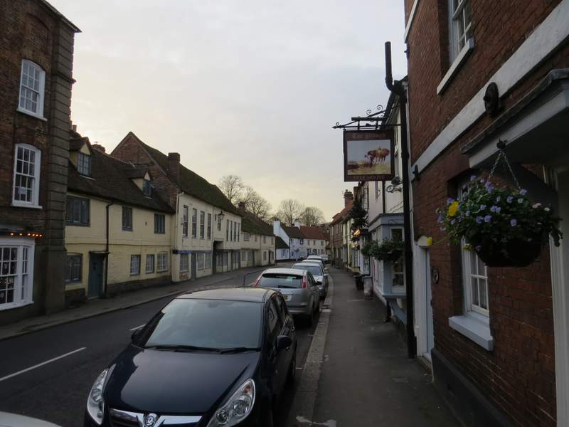
West Wycombe
I was surprised when I found out that it was so long since I'd walked this route, and also a little surprised that I'd only done it once in each direction. It's a good route with several ups and downs, some good views and a mixture of woods and field paths. I was a bit disappointed that it took me four hours and forty minutes to walk just 11 miles, that seems incredibly slow even for someone in my decrepit state, but I've since seen that that is only 10 minutes more than it took when I first did this route (and I walked almost half a mile further this time because of the closed footpath near the start of the walk). It's certainly a walk I'd be quite happy to do again, but I feel I really should try to find a different walk in this area as I haven't really explored it as much as I have many other parts of the Chilterns.