Pete's Walks- Cholesbury, Ashley Green, Wigginton (page 3 of 4)
If you are considering walking this route yourself, please see my disclaimer. You may also like to see these notes about the maps and GPX files.
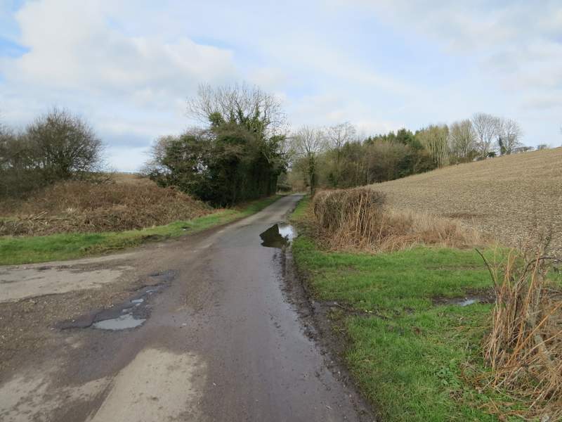
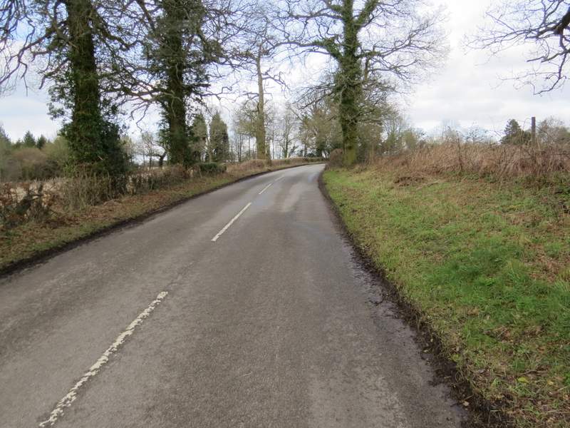
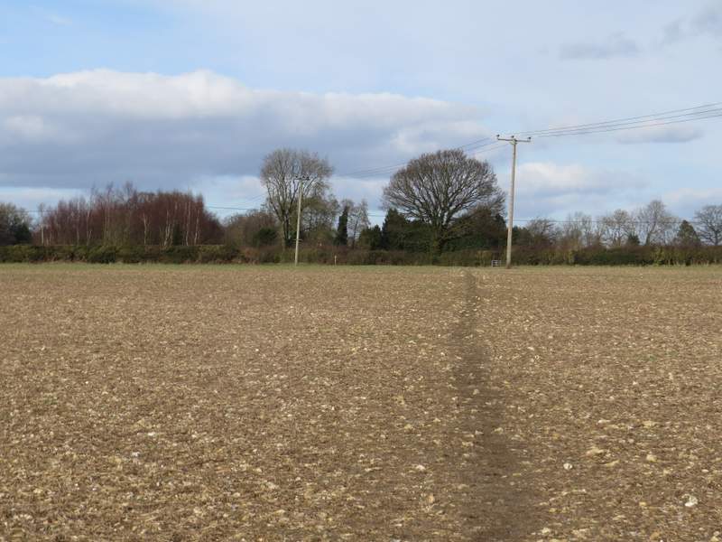
Beyond the parkland the path crossed a track or drive and then followed the right-hand hedge of a ploughed field, soon dropping down into a valley where I turned right along a minor road. Within a few yards I turned right again onto what the OS map marks as an 'other route with public access' but which looked just like a lane to me [UPDATE 27/11/23: The latest OS map now shows it as a lane]. At its end I turned right again onto a lane (it had a white line down the middle, so it looked more like a minor road [UPDATE 27/11/23: The latest OS map now shows it as a road]). Just after this bent right, I turned left along what looked like another lane but which the map shows as a 'restricted byway'. As I walked down this byway, I spotted a very grand house some way off straight ahead of me - it was only later while I looked at the map again while writing these notes that I realised it was Champneys, the celebrated health spa.
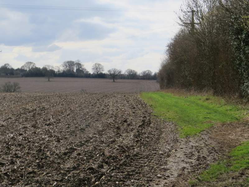
The path continuing after crossing a track or drive - it descends to the road hidden at the bottom of the valley ahead
The start of the 'other route with public access' - looks a lot like a lane to me! [UPDATE 27/11/23: The latest OS map now shows it as a lane]
Whereas this lane looks more like a minor road! [UPDATE 27/11/23: The latest OS map now shows it as a road]
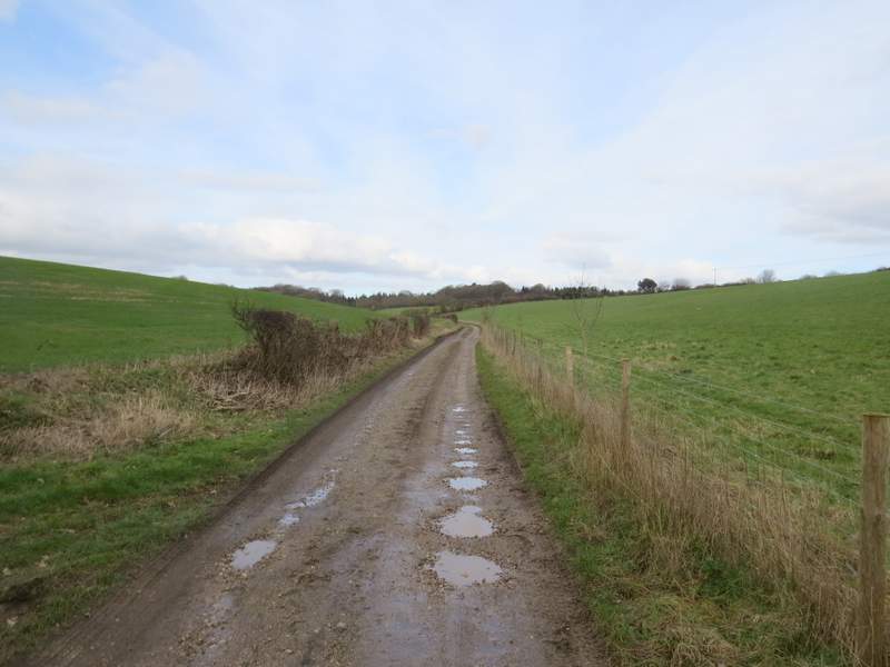
And this is a 'byway open to all traffic'. Further along here I could see a very grand house straight ahead of me, which I've just worked out from the map is Champneys, the health spa.
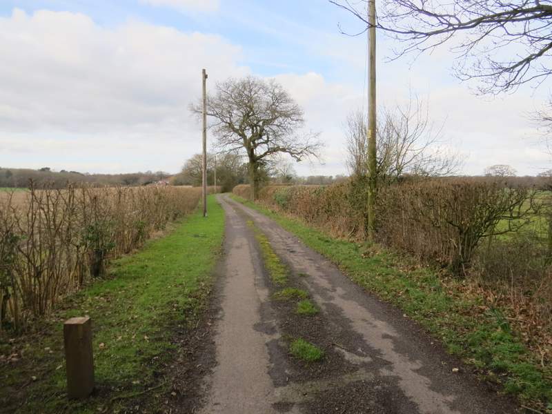
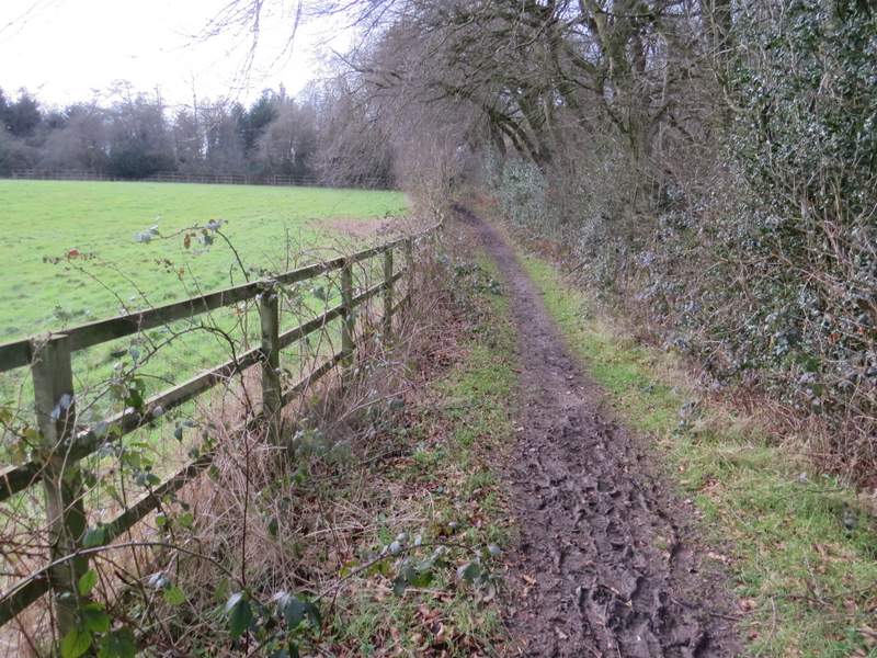
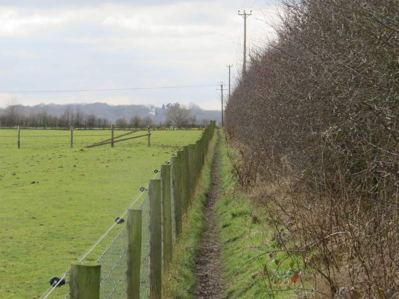
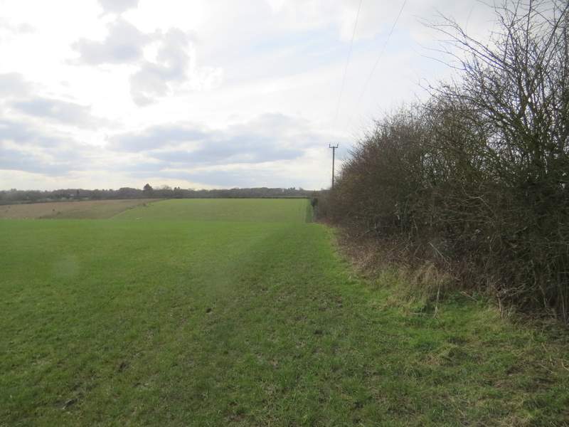
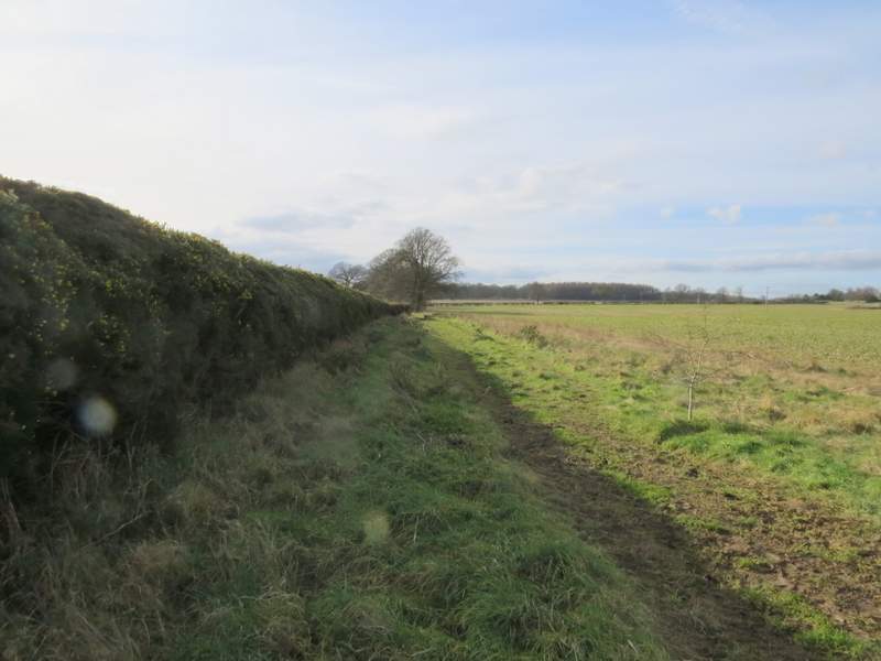
On reaching Lodge Farm, I turned left along a drive (there was a model railway line to the left of it). The footpath continued between a couple of houses, and was soon running between hedges and fences. Further on I passed a tall green fence on my left, and then came to a minor road. Across this a footpath continued, soon running between the fence of a paddock and a hedge on my right, before following the hedge through a large empty pasture and dropping down into a valley. Here I turned right, and followed a bridleway along a track, past Tring Grange Farm and on for about half a mile to another minor road.
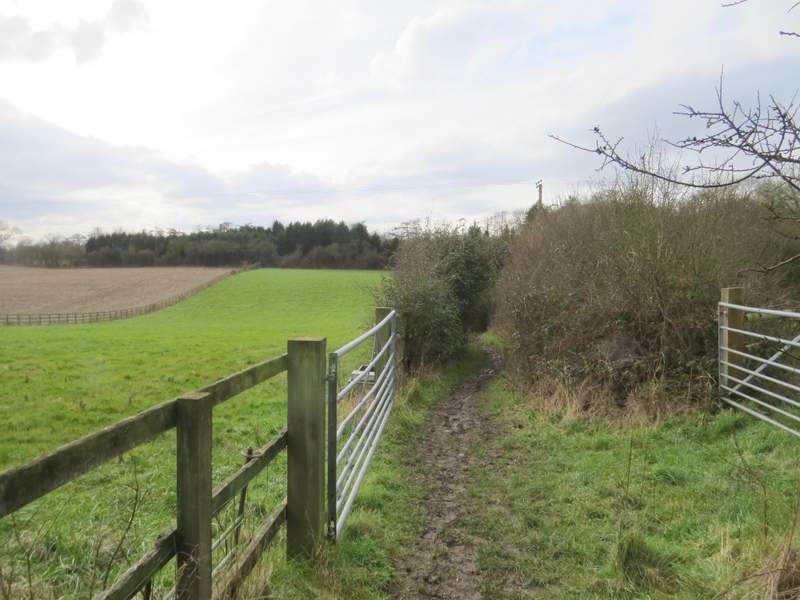
The footpath from Lodge Farm
The footpath from Lodge Farm
The footpath continuing after crossing a lane
The footpath follows the hedge down into the valley ahead, where I turned right
The bridleway, just after Tring Grange Farm
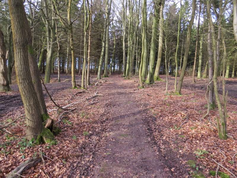
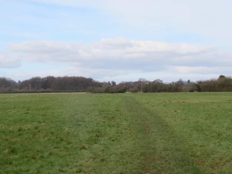
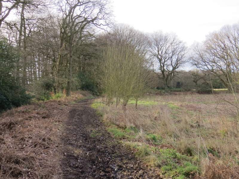
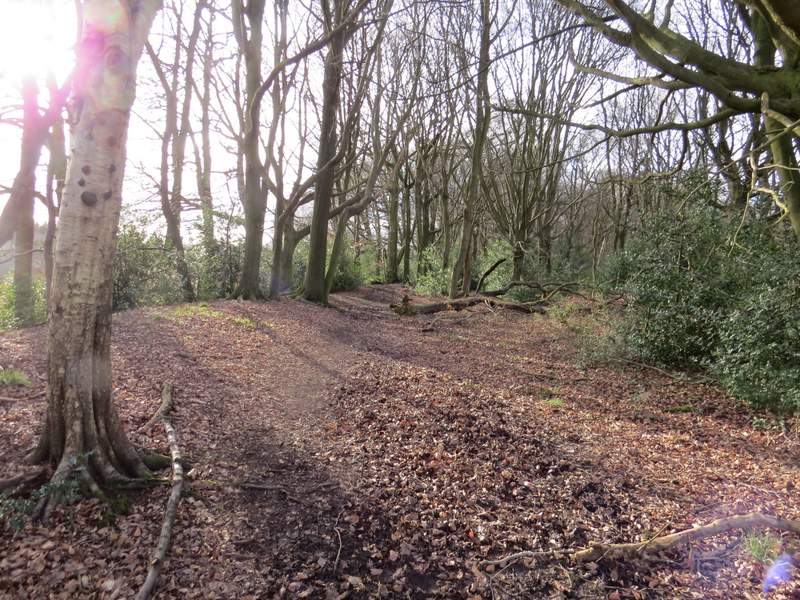
Across the road I entered Roundhill Wood, immediately reaching a path junction where I turned right (or half-right). I went a bit wrong here when I did this walk in 2010, but I managed to follow the path through the wood this time without any difficulty - whenever I was in any doubt, there was always a white arrow, waymark or yellow-topped post to show where I had to go next. Beyond the wood I was on a familiar path heading towards Wigginton. It crossed a large meadow, cut across a corner of another meadow, then continued across a ploughed field to reach a metal kissing-gate on the far side.
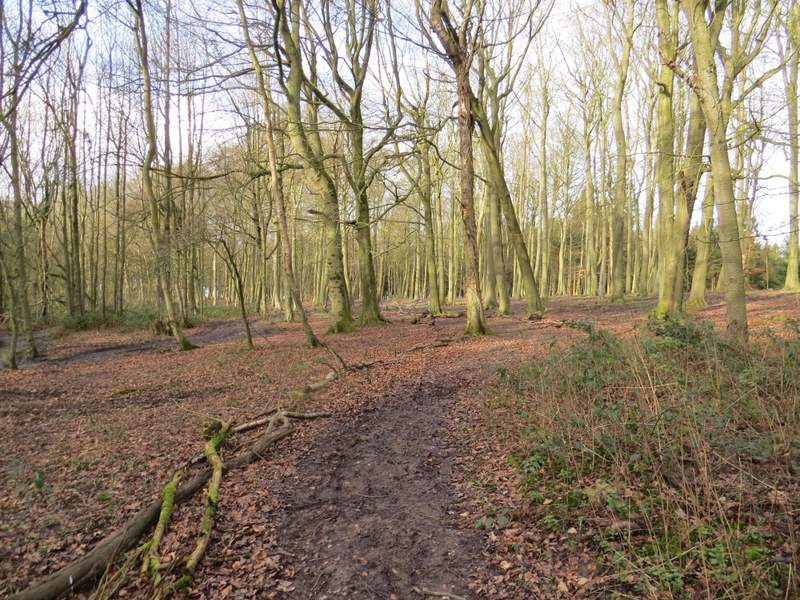
The path through Roundhill Wood
The path through Roundhill Wood
The path continuing from Roundhill Wood towards Wigginton
The path continuing from Roundhill Wood towards Wigginton
Instead of going through the kissing-gate, I turned left for a few yards and then left again to follow a footpath that initially ran beside a line of gorse bushes on my left. Further on the path ran through a narrow belt of trees - the path was following the line of the ancient earthwork called Grim's Ditch, which was now in evidence to the left of the path. The path then continued through the beech trees of Wick Wood to reach a lane.
The path from near Wigginton, along the Gorse bushes - this is along the line of Grim's Ditch, an ancient earthwork
Further along the path - Grim's Ditch was now more obvious, on my left
The same path, now in Wick Wood