Pete's Walks- Cholesbury, Ashley Green, Wigginton (page 4 of 4)
If you are considering walking this route yourself, please see my disclaimer. You may also like to see these notes about the maps and GPX files.
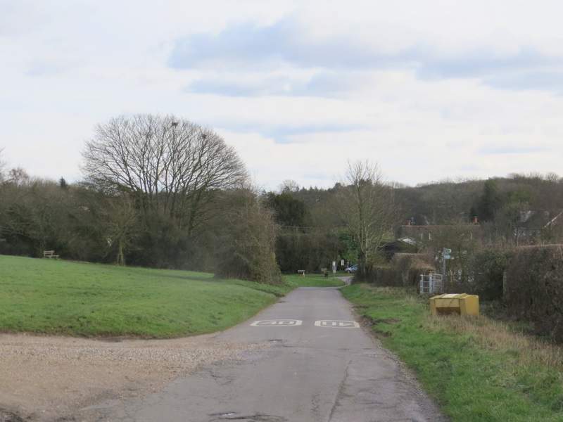
Across the lane, two footpaths started through a wood called High Scrubs and I took the one going half-left (the other went straight on). This was was a broader track than I remembered, and was clearly used by vehicles of some sort. After about half a mile I crossed a broad bridleway, the footpath continuing on the other side for a few more hundred yards through the wood until it brought me to Shire Lane (another part of the Herts/Bucks county boundary).
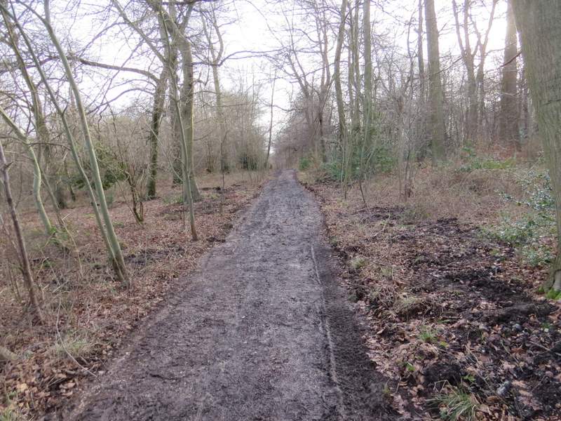
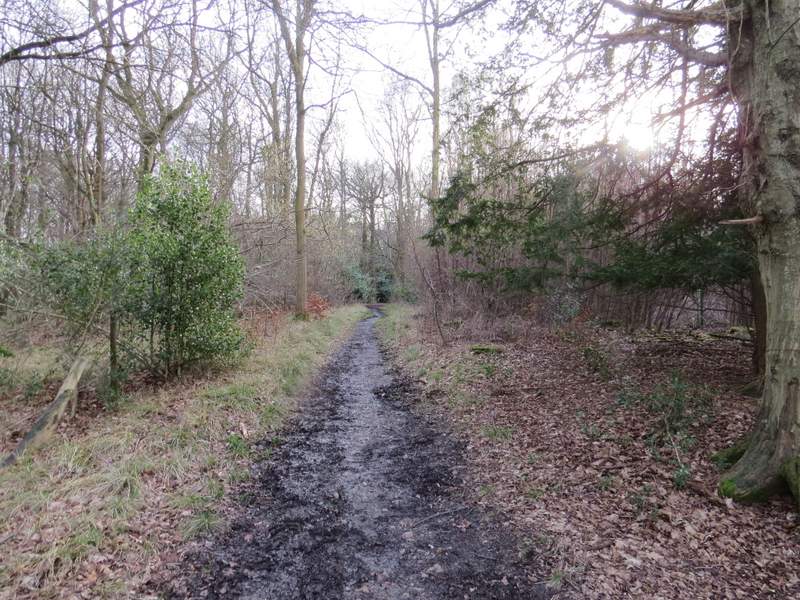
Near the start of the path through High Scrubs
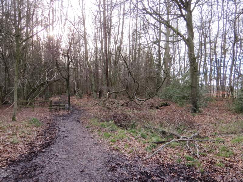
The path through High Scrubs
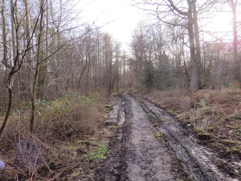
The path through High Scrubs, just after I crossed a bridleway
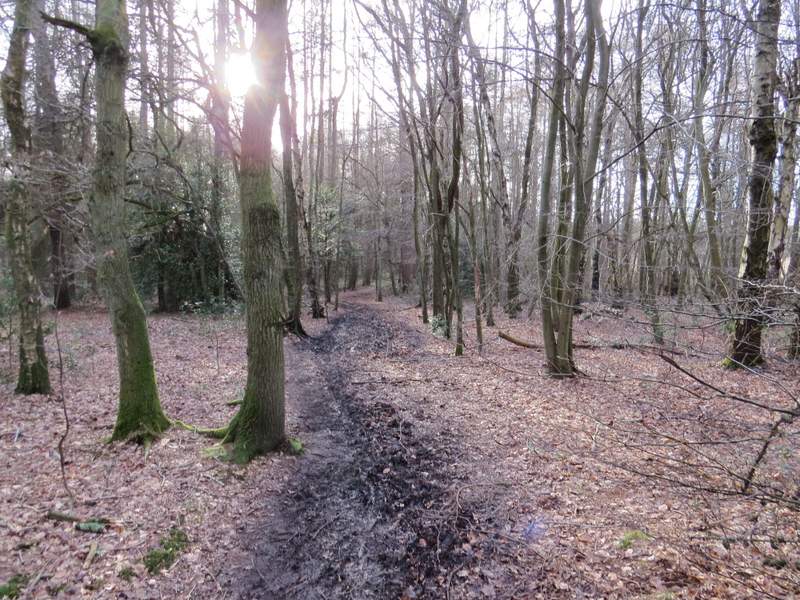
The path through High Scrubs
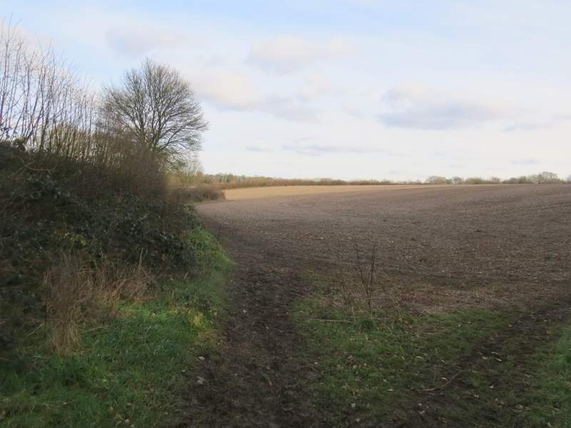
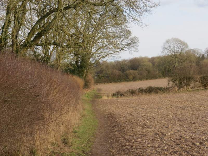
I turned right and followed the lane for two or three hundred yards, before taking a bridleway on the other side that ran through Drayton Wood. After a while, the bridleway was running along an edge of the wood, with a hedgerow and ploughed fields on my left. I continued along it to its end, and then continued ahead along Little Twye Road to reach Buckland Common.
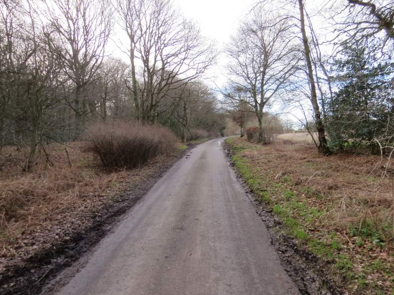
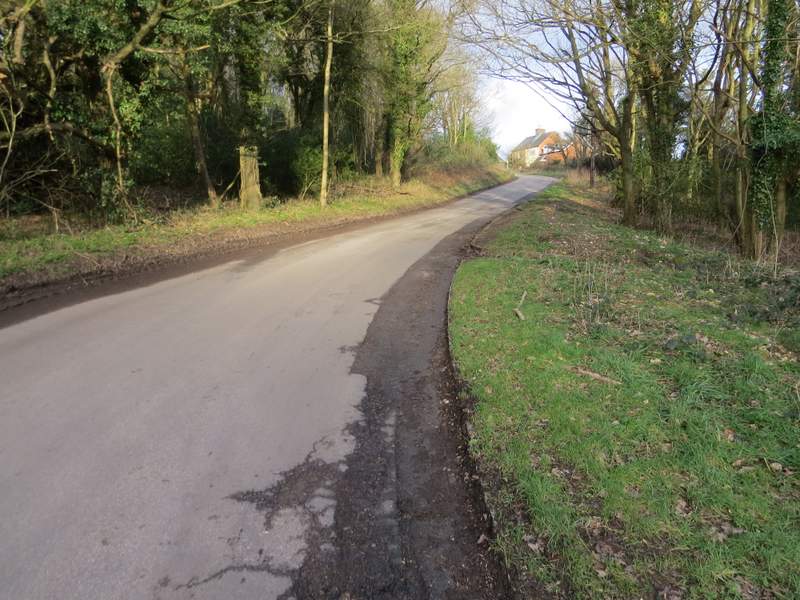
The short section along Shire Lane (I turned left before the slight bend)
The bridleway through Drayton Wood
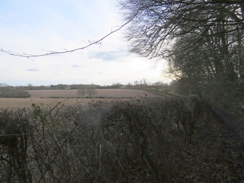
The bridleway now running along an edge of Drayton Wood, looking ahead to Little Twye Road
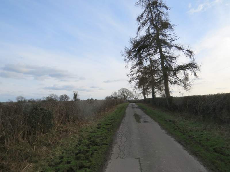
Little Twye Road
Buckland Common (I'd planned on parking and starting the walk where the car is)
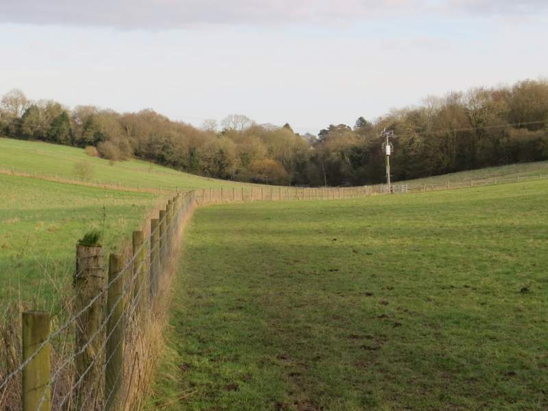
At the end of Little Twye Road I turned right and then immediately turned left at another road junction (the small car park on this corner was where I'd planned to start the walk). Within a few yards I came to a T-junction where I turned left. After a few hundred yards along the road I took a footpath on the right (immediately after Chiltern Motors), which soon brought me to a path junction in a field corner. I turned left and followed a hedgerow on my left along the bottom of a valley. After two ploughed fields the path continued along the valley through some empty pastures until I reached a road (called Ray's Hill). When I did this walk before I followed a path just to the left of the road, but as it can be very wet and slippery (and conditions were pretty muddy today) I chose to just follow the road uphill to my left (this was probably the steepest bit of the walk!). When Ray's Hill met the road along Cholesbury Common, my car was just a few yards to the left.
The path from Buckland Common to Cholesbury
The path from Buckland Common to Cholesbury
The path from Buckland Common to Cholesbury
Ray's Hill (the name of the lane, which is much steeper than my photo makes it look)
This was only the second or third time that I'd walked some of these paths, and the last time was in 2011, so the walk had the charm of a certain amount of novelty for me. But it wasn't one of the better walks I've had in the Chilterns. It wasn't exactly flat, there were quite a few small ups and downs, but there were no long or steep ups or downs anywhere. And it wasn't as varied in terms of woods and fields as many of the walks I've done - apart from Hockeridge Wood and the long woodland section on the way to Buckland Common, it was almost all field paths. I don't remember any particularly fine views either, though the scenery was generally pleasant throughout the walk. Nevertheless I did enjoy the walk (and I always find it hard to fairly judge a route when I've walked it in unfavourable conditions - people who don't like walking on muddy days would not have enjoyed it at all!).