Pete's Walks- Cowleaze Wood, Chinnor, Ibstone (page 6 of 7)
If you are considering walking this route yourself, please see my disclaimer. You may also like to see these notes about the maps and GPX files.
A few yards to the right, a footpath continued on the other side of this second drive. After a couple of hundred yards I came to a path junction where the Chiltern Way went left, but I now departed from that route by continuing straight ahead (immediately passing an ornamental urn on my right). The next half mile was through a narrow belt of woodland and was almost level, but then the path started a very gentle, but long, climb through Blackmoor Wood and then Shotridge Wood. I soon passed through a section where some forestry work had been going on (there were warning notices, big muddy tyre tracks and debris from cut down trees). I somehow missed seeing a path junction where a path went left (I went that way for the first and only time on a walk last year), not that I wanted to go that way anyway. The steepest part of the path was when it reached an attractive area of beech trees, but even this was still quite a gentle gradient.
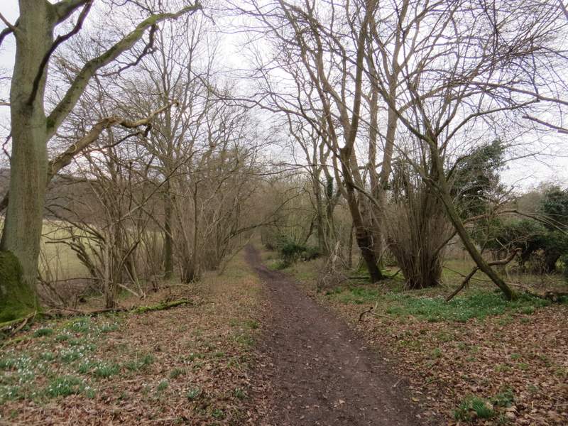
Near the start of the path to Christmas Common
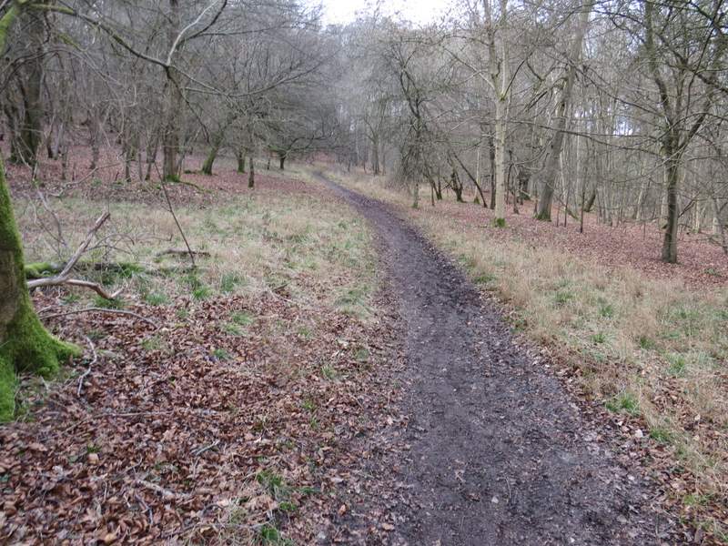
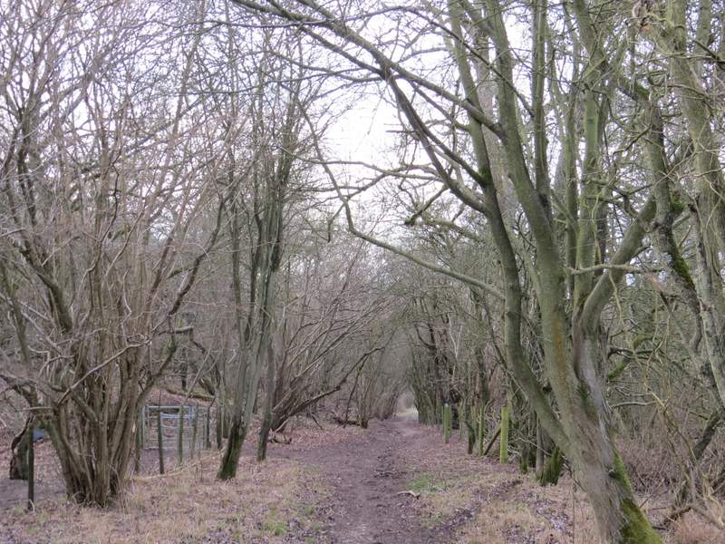
The long path through the woods to Christmas Common
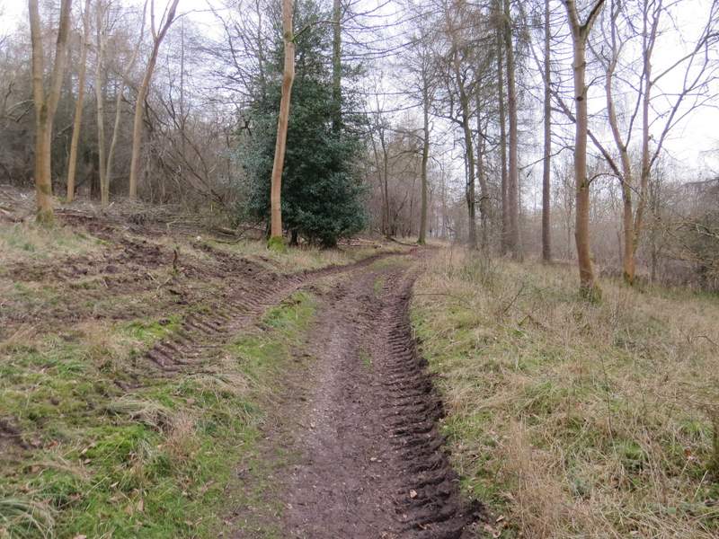
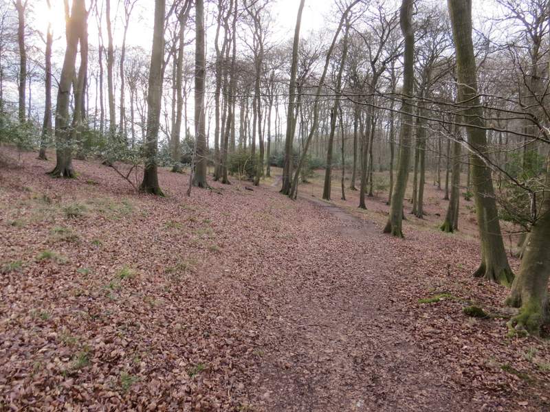
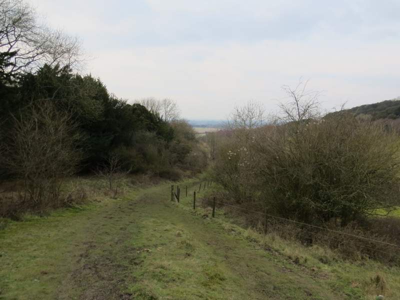
The long path through the woods to Christmas Common, where the forestry operations had been taking place
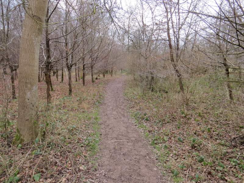
The long path through the woods to Christmas Common
The long path through the woods to Christmas Common
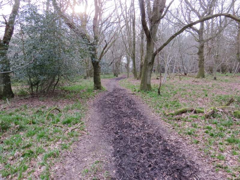
The long path through the woods to Christmas Common - the steepest bit is through this section of beech trees, but even here it's not very steep
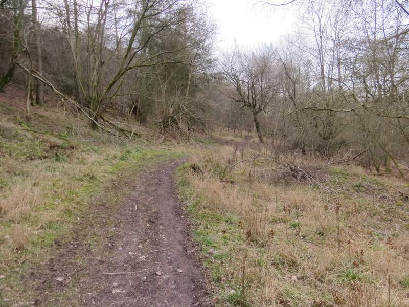
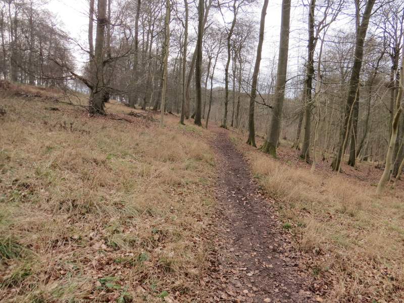
The long path through the woods to Christmas Common, approaching the highest point
I was really tired now, and realised this was going to be a longer walk than I'd anticipated. About a mile and a quarter from the junction where I left the Chiltern Way I finally reached the end of the long gradual climb, and turned right at a path junction. I soon turned left at a second junction, and followed white arrows on the trees a short distance to another path junction, where I went straight on along a drive to reach a road just outside the village of Christmas Common. Just for the sake of walking a path I'd not done before, I turned right (away from the village) and followed the road for a couple of hundred yards, then took a bridleway on the left. The bridleway ran between fences and hedges, with occasional views ahead towards the Oxfordshire plain. I soon reached a point where the path I usually take from Christmas Common came in on my left, and the bridleway now dropped steadily downhill. I always refer to this bridleway as being on Pyrton Hill, but strictly that is over to the right - I saw more Fallow Deer on the hillside there, as I have on many other occasions when I've walked this bridleway. At the foot of the slope I continued down a drive from Pyrton Hill House. I could have shortened the walk by turning right onto a footpath (using my normal route from this point, which goes along the edge of Shirburn Wood and then up Shirburn Hill), but despite feeling very tired and sore I stayed on the drive until it was crossed by the Ridgeway national trail, when I turned right.
The path after I turned right and then left
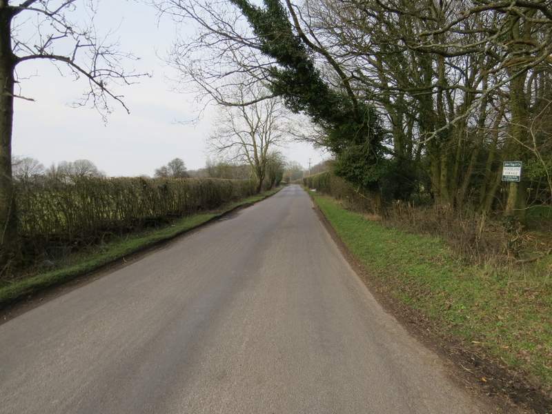
The road going north from Christmas Common
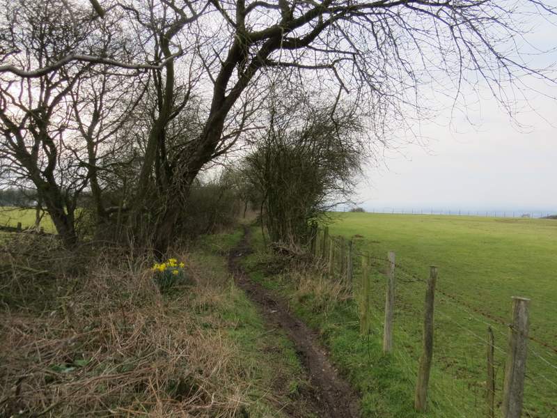
The start of the bridleway down Pyrton Hill
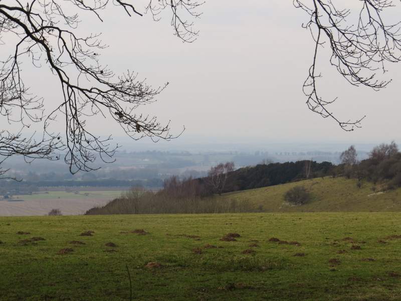
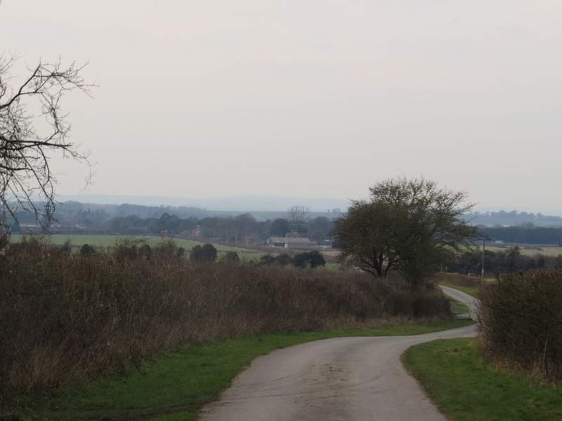
Looking half-right from a little way along the bridleway
The bridleway down Pyrton Hill (the path I usually use comes in from the left where the metal kissing-gate is)
The bridleway down Pyrton Hill
The drive from Pyrton Hill House