Pete's Walks- Cowleaze Wood, Chinnor, Ibstone (page 7 of 7)
If you are considering walking this route yourself, please see my disclaimer. You may also like to see these notes about the maps and GPX files.
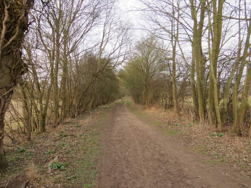
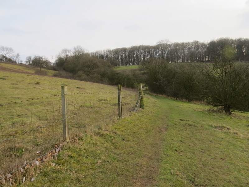
This section of the Ridgeway was similar to the stretch I had walked near the start of the walk, a broad and flat track between hedgerows. After half a mile or so I started to pass the end of Shirburn Hill on my right. There were a few more trees beside the track in this section, including several Yews.
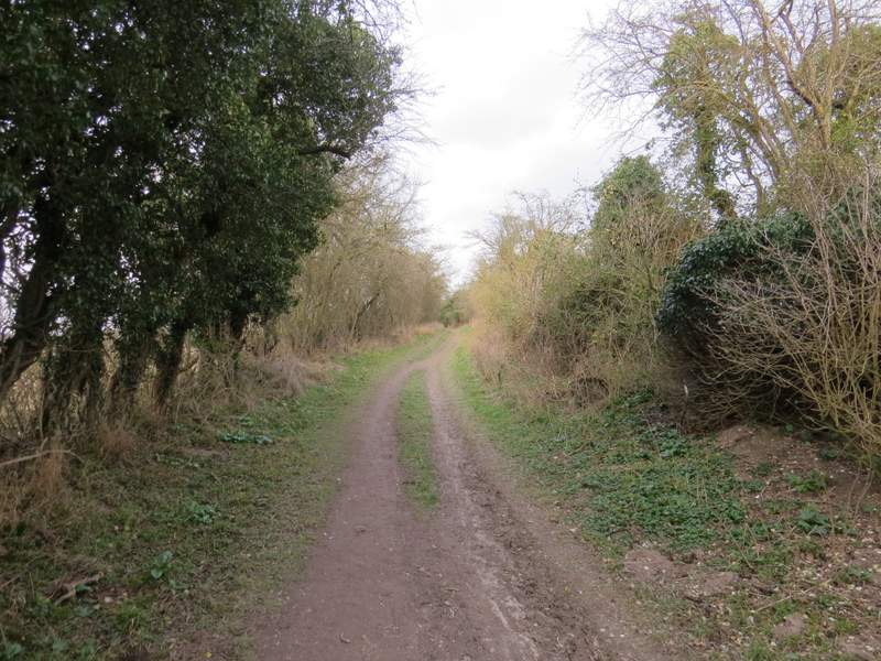
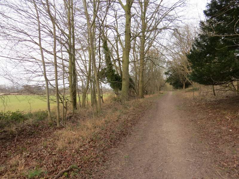
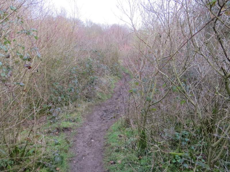
The start of my second section along the Ridgeway
The Ridgeway
The Ridgeway
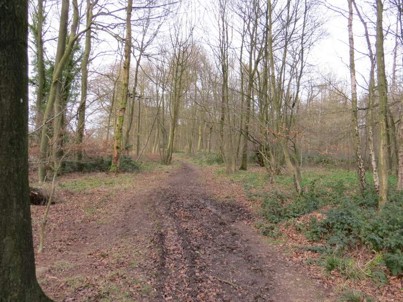
The Ridgeway, passing the foot of Shirburn Hill
The Ridgeway, passing the foot of Shirburn Hill
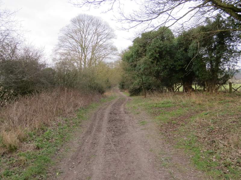
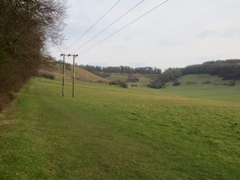
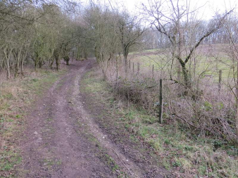
After about half a mile I left Shirburn Hill behind, the wide track of the Ridgeway soon becoming grassier with field hedges either side. After another half-mile I turned right (I could see ahead of me the M40 bridge that I'd walked under earlier today) and followed a footpath across an empty pasture, and on through a wood called Old Cricketground Plantation.
The Ridgeway
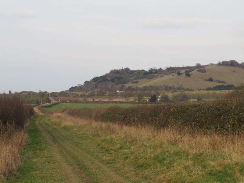
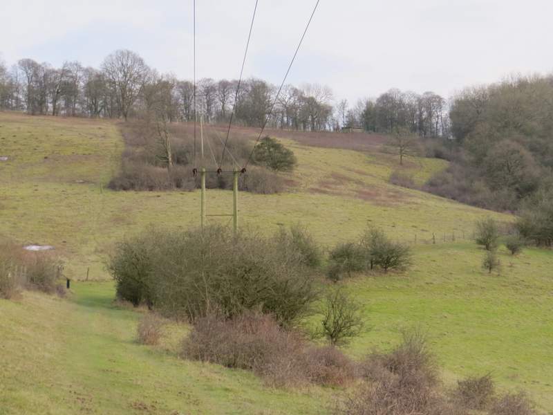
The Ridgeway, just before I turned right - you can see the M40 and the bridge I went under near the start of the walk. The hill is Beacon Hill.
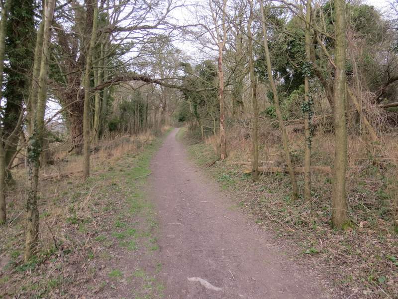
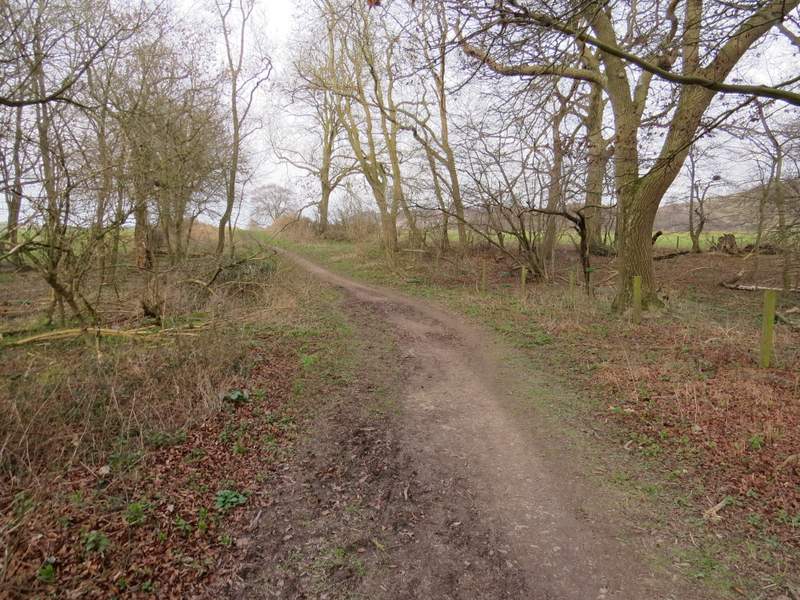
The path heading to Old Cricketground plantation
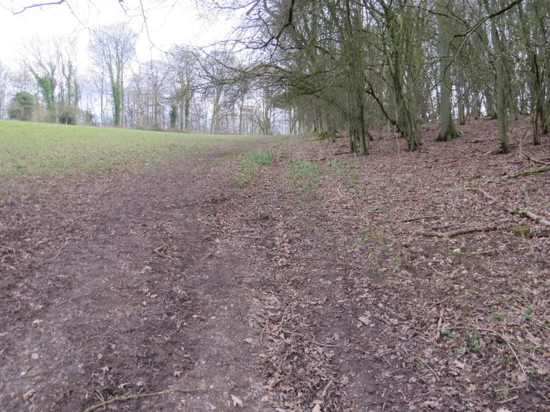
The path through Old Cricketground plantation
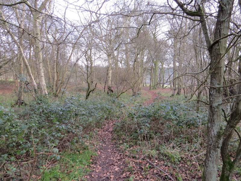
The path through Old Cricketground plantation
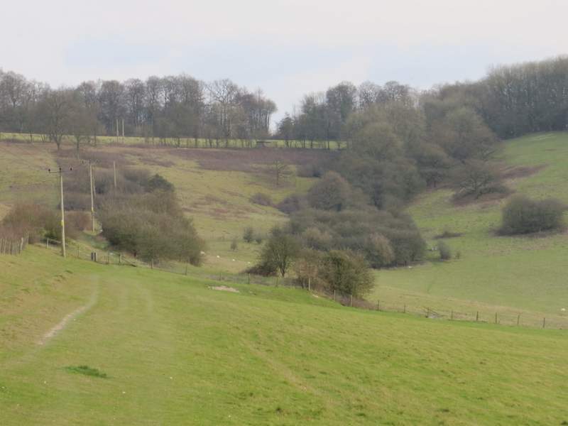
Beyond the wood, the path turned left, heading for the Chiltern escarpment (with Cowleaze Wood at the top). I was really tired now, I haven't struggled so much on a walk for many years, so I was very relieved to find this last bit of uphill of the day not as bad as I'd feared. The path only rose very slightly over a long distance as it followed the wood and then a fence on my left, along the side of Bald Hill (Bald because it hasn't many trees on it, unlike its neighbours). After about half a mile, the path turned right, still beside a fence, then turned left to go uphill through a line of trees. This was the steep bit of the path, but it wasn't too bad at all and not as long as I'd been expecting - this must be one of the easiest paths that climb the escarpment. It was still slightly uphill when the path left the trees and ran along the right edge of a pasture (part of the Aston Rowant nature reserve again). But then all I had to do was cross a road and turn left along a path through trees for a hundred yards or so to return to the Cowleaze Wood car park - I haven't been so pleased to see my car for a long time!
The path along the side of Bald Hill. It turns right along a fence (not the nearest one you can see) and rises through the line of trees
Further along the path - you can see more clearly the line of trees through which it continues uphill
A little further along the path - Cowleaze Wood is on the skyline
Approaching the line of trees
The path going uphill through the line of trees
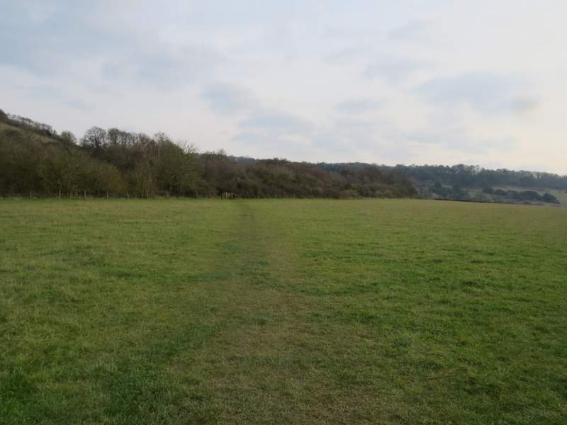
The path continuing along the right edge of a meadow or pasture (part of the Aston Rowant nature reserve) to reach the road running past Cowleaze Wood
The short path across the road to the Cowleaze Wood car park
I was pretty shattered at the end of this walk, which had taken my about six and a quarter hours. I hadn't planned on walking for so long or for so far, I'd underestimated the distance by two miles when I'd roughly estimated it on the OS map the night before (my estimates are usually quite accurate, I can't remember being so far out before). This was the longest walk I'd done since August 2012 when I did an extended version of my Kensworth to Ivinghoe route that was about 18.9 miles.
It was rather an odd route, with two quite lengthy flat sections along the Ridgeway near the start and end of the walk but the rest of the walk being very up and down. There were seven or eight hills to climb and descend - I've counted the contours on the map, and over the course of the walk I went up 1850ft (and as I started and finished at the same point, I suspect I went down a remarkably similar amount!).
Despite feeling so tired at the end of the walk, I really enjoyed it. There were a few new paths I'd not walked before, which always adds interest to a walk, and the scenery was attractive almost throughout the walk - even on the flat sections along the Ridgeway.
I'm not sure if I'll ever try the walk in the other direction (anti-clockwise) though - the long section of about an hour along the Ridgeway would then be right at the end, and might be a bit of an anti-climax.