Pete's Walks- Maidensgrove, Ibstone, Middle Assendon (page 4 of 6)
If you are considering walking this route yourself, please see my disclaimer. You may also like to see these notes about the maps and GPX files.
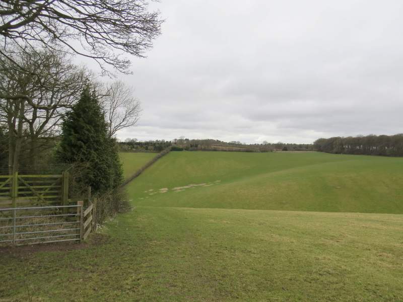
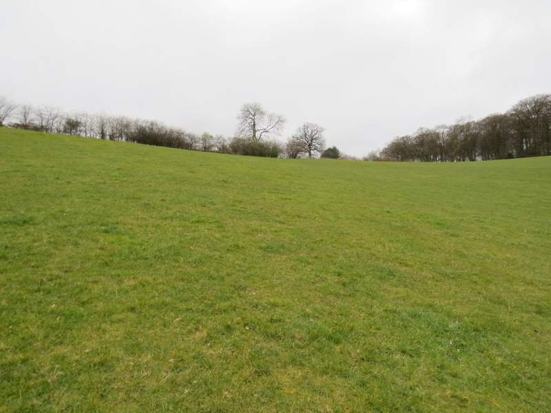
I now started the first of two sections on this route that were new to me, by turning right and following a lane past the entrance to Turville Court. A few yards further on, a footpath went left, following a hedge on the left. The path was soon heading down into a valley, and became pretty steep as it descended to a lane in a valley bottom. Across the lane, a path continued up the opposite slope through a large empty pasture. Not having been here before, I wasn't quite sure where I had to aim for in the hedge at the top of this field (the map showed it was somewhere towards the right end), but with aid of the zoom on my camera I managed to spot a metal pedestrian gate between two prominent trees.
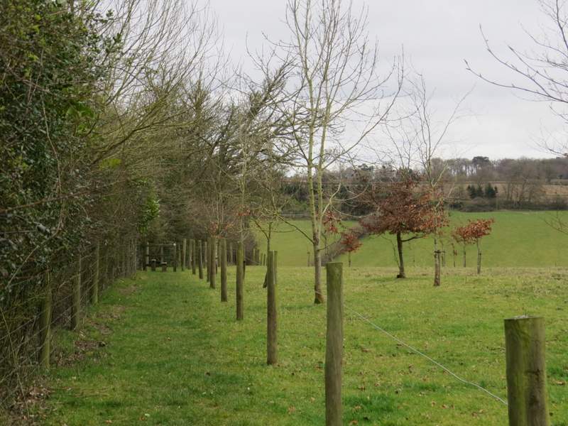
The start of the footpath from Turville Court south to Southend
The footpath from Turville Court south to Southend
The footpath from Turville Court south to Southend, descending very steeply to the lane
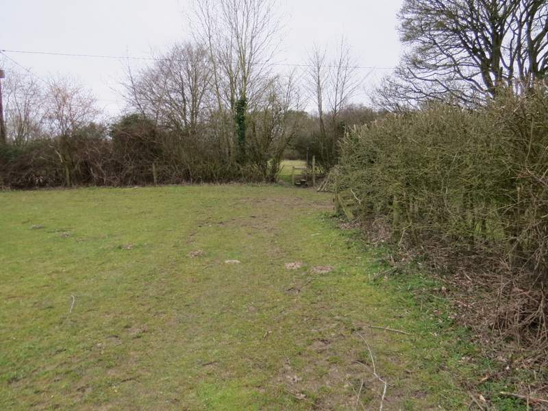
The footpath from Turville Court south to Southend, the other side of the lane - the gate at the top of the field is between the two trees near the centre of the photo
The footpath from Turville Court south to Southend, the other side of the lane - the gate at the top of the field is between the two trees near the centre of the photo
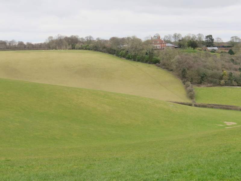
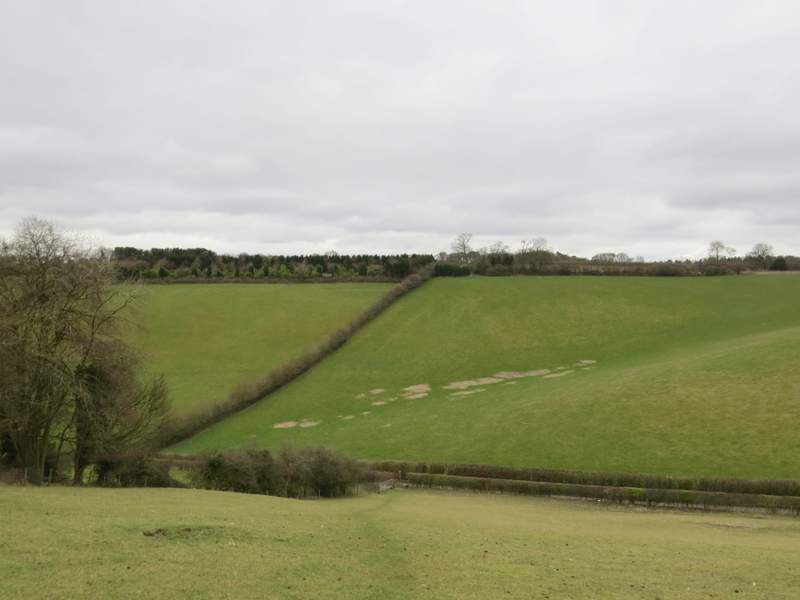
Looking back from the gate, towards Turville court - you can see the path I followed coming down the opposite slope
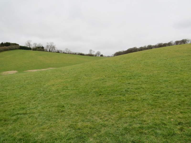
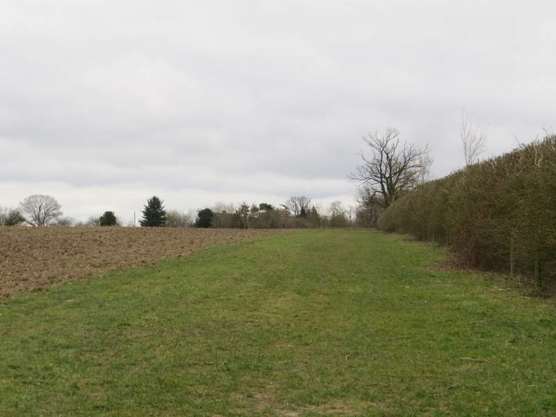
Beyond the gate, the path went through a narrow field of rough grass, then followed a broad strip of grass next to the right-hand hedge of a large ploughed field. I was a little confused when I reached the end of this field, as I expected to arrive at the drive from Southend Farm - instead, I found I was at another drive which is new and not shown on my OS map, and that I had to cross it and follow a short path straight on through a small paddock or pasture, beyond which I reached the drive from Southend Farm as it reached the green at Southend. I turned right, and stopped for lunch (it was now 1.50pm) on one of the benches here.
The path continuing towards Southend
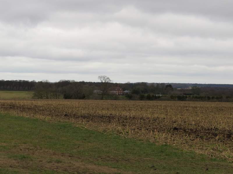
Another view back across the top of the valley to Turville Court
The end of the path - you can't really see that there is a drive just the other side of the stile
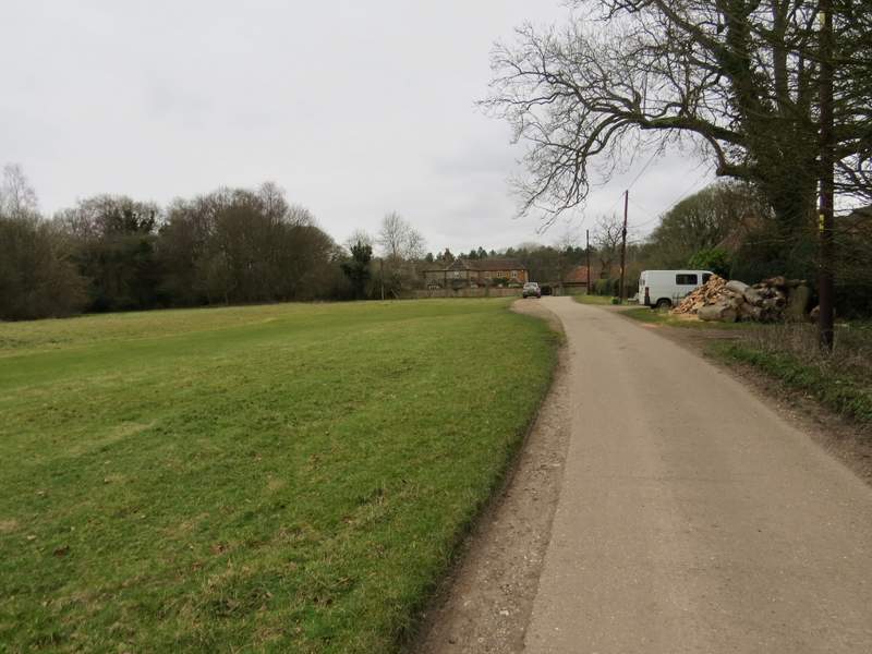
The drive in Southend (there are two benches near where the car is parked, useful for lunch stops)
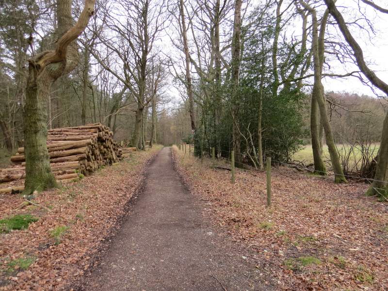
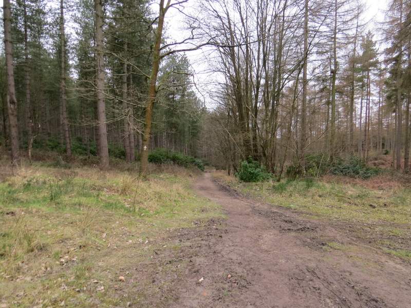
Lunch over, I followed the drive a few yards to its end, then turned left along the lane through the hamlet (Drovers Lane). After a couple of hundred yards or so I turned right onto a footpath. This followed a track which was soon dropping downhill through woodland (from the OS map, the track appears to be close to the boundary between Kildridge Wood, to my left, and Balham's Wood). After a while a white arrow indicated where the public right of way went slightly left from the track, passing through an area of rhododendron bushes. The path then went through a tall fence to enter Stonor Park, the deer park surrounding Stonor House.
Near the start of the path from Southend to Stonor
The path from Southend to Stonor
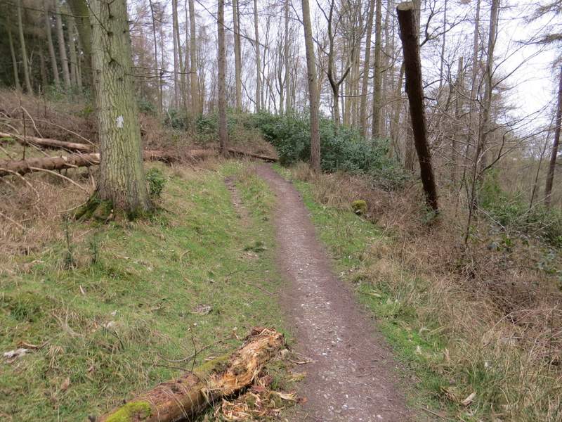
The path from Southend to Stonor
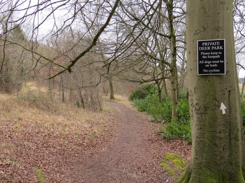
Just past where the path enters the deer park around Stonor House (you may have worked that one out yourself!)