Pete's Walks- Maidensgrove, Ibstone, Middle Assendon (page 5 of 6)
If you are considering walking this route yourself, please see my disclaimer. You may also like to see these notes about the maps and GPX files.
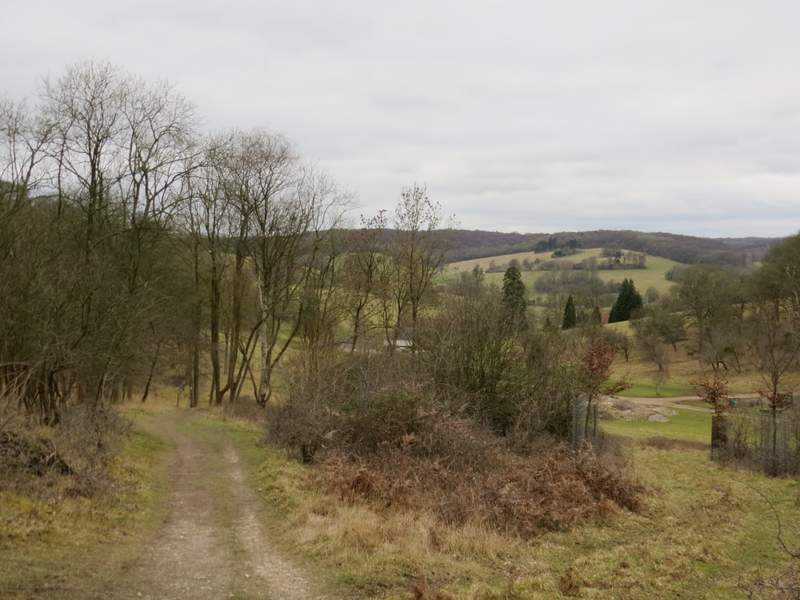
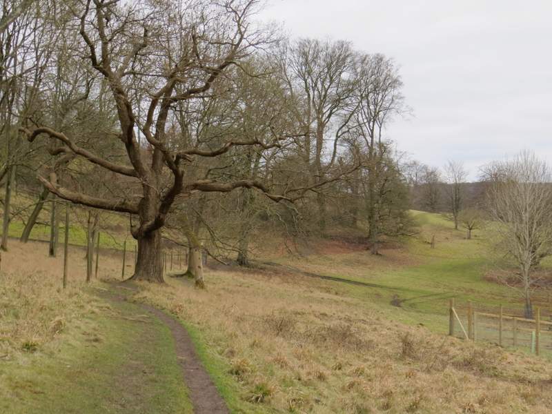
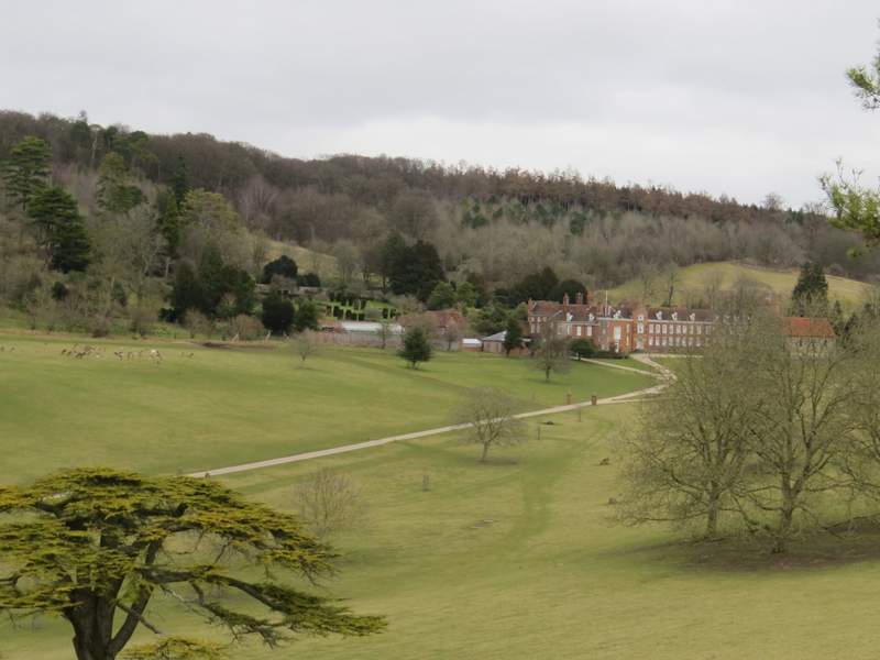
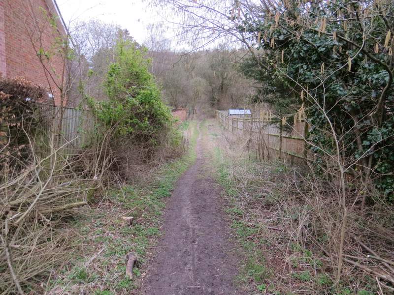
I'd been especially looking forward to this section of the walk, and I wasn't to be disappointed - even on this grey, cold and overcast day the near-mile long path through the deer park was absolutely delightful. The path, still descending but much more gently now, gradually emerged from the trees and views began to open up ahead of me. Soon I could see Stonor House itself and its ancient chapel, and further on I started to get an increasingly fine view along a valley towards Pishill. By the time I drew level with the house, on my right, the woods ended and I was in typical park land, lush grass dotted with the odd tree here and there. Directly ahead of me was Stonor in its valley, then a sloping hillside topped by woods (I knew Maidensgrove was just behind the woods, if I'd been tired I could have taken a direct route back there from Stonor). The view, looking half-right, towards Pishill got better and better as I progressed along the path, and soon I could make out where Pishill church was (where I 'd taken a photo looking towards this deer park earlier).
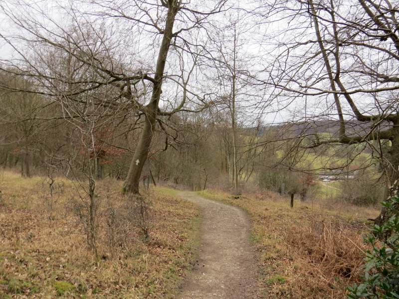
The path through the deer park
The path through the deer park
The path through the deer park
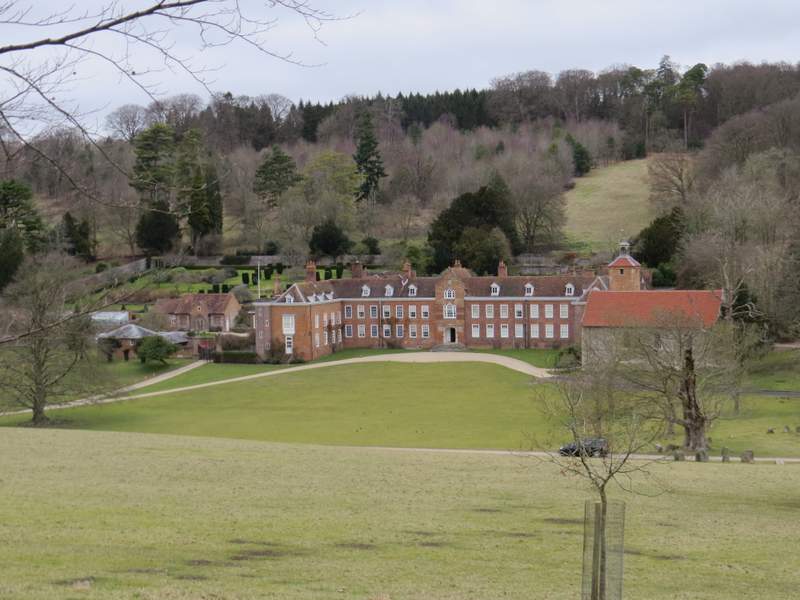
Stonor House, with its chapel
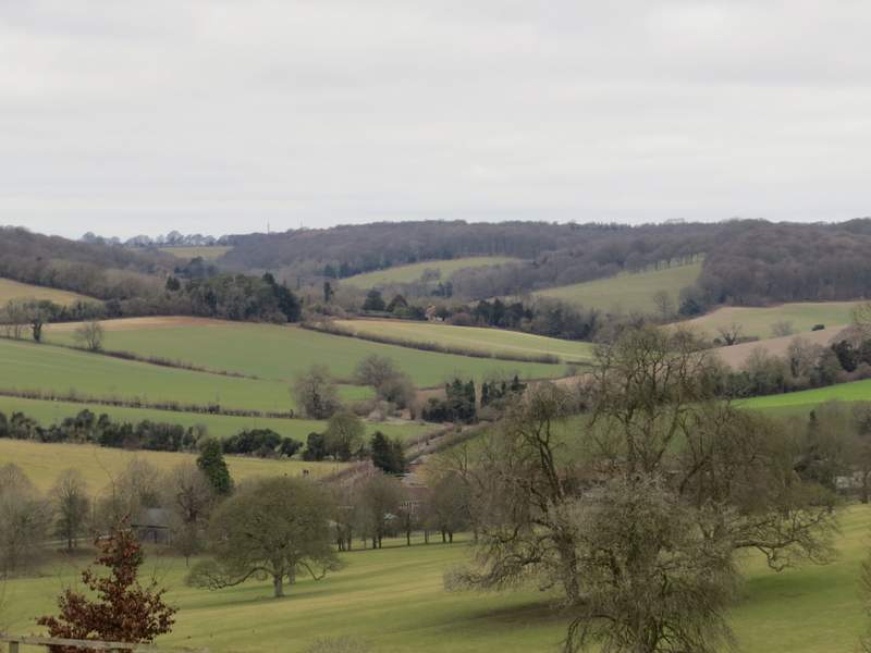
View from the deer park towards Pishill - you can see Pishill church, where I was earlier, in the centre of the photo (in the trees above the very light green field)
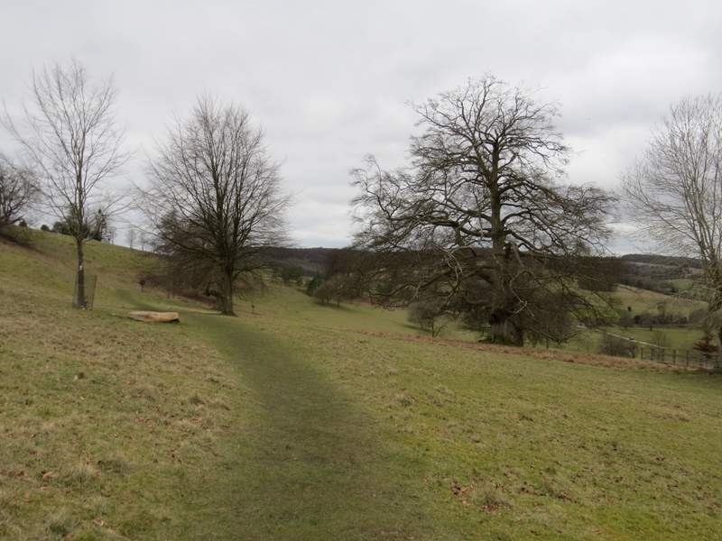
The path through the deer park
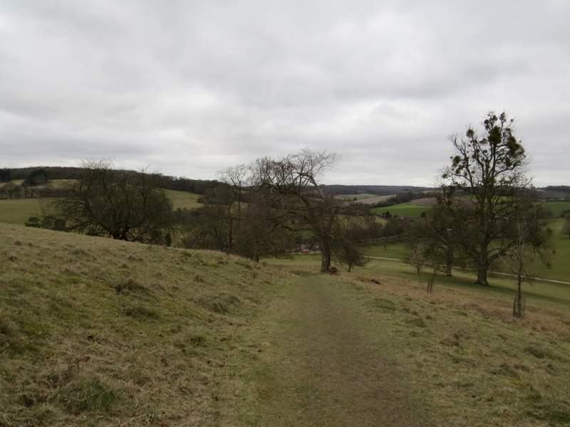
The path through the deer park
Looking back to Stonor House from the path through the deer park (no prizes for guessing what the animals are on the left of the photo!)
Eventually the path dropped quite steeply down to a gate near the main entrance to the park. I then turned left along the road through the village of Stonor. Shortly after passing a road junction (where a road went right to Maidensgrove) I turned left on to a bridleway (I could have shortened the walk by going on a few yards and taking a path on the right, following a section of the Chiltern Way back to Maidensgrove). The bridleway ran between garden fences, then climbed uphill through Almshill Wood, with the boundary fence of the deer park on my left. I have always found this a tough bit of uphill, by Chilterns standards, and did so again today (I've just looked on the map and calculated it goes up 280 feet in about 0.3 of a mile, a gradient of roughly 1 in 7). But I puffed and panted my way to the top, where I left the wood and turned right to follow a farm track to Coxlease Farm.
The start of the path from Stonor through Almshill Wood

The path from Stonor through Almshill Wood, running beside the fence around the deer park
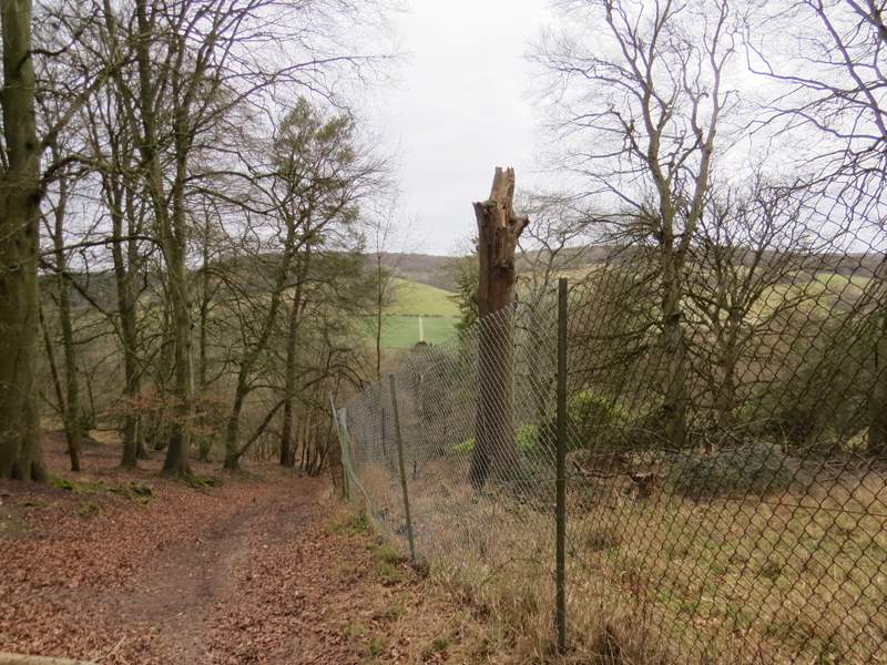
A view back from the path from Stonor through Almshill Wood
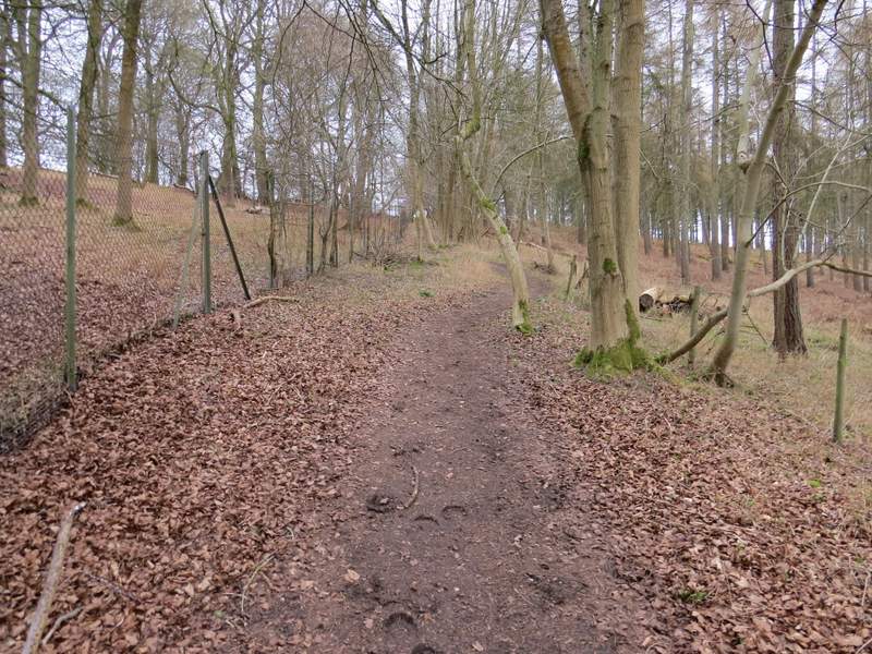
The path from Stonor through Almshill Wood, running beside the fence around the deer park - almost at the top now
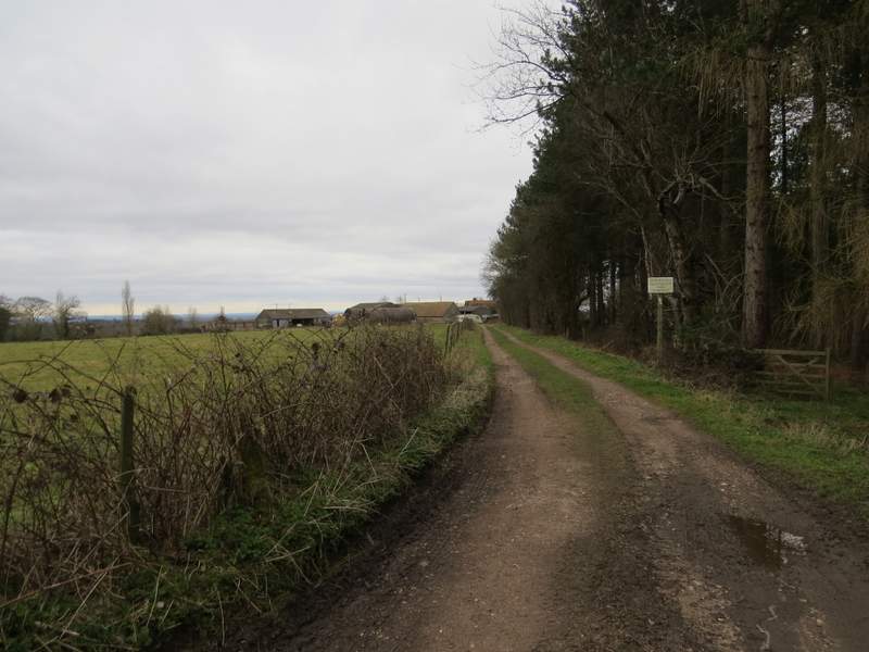
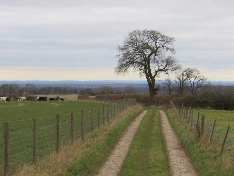
The track to Coxlease Farm
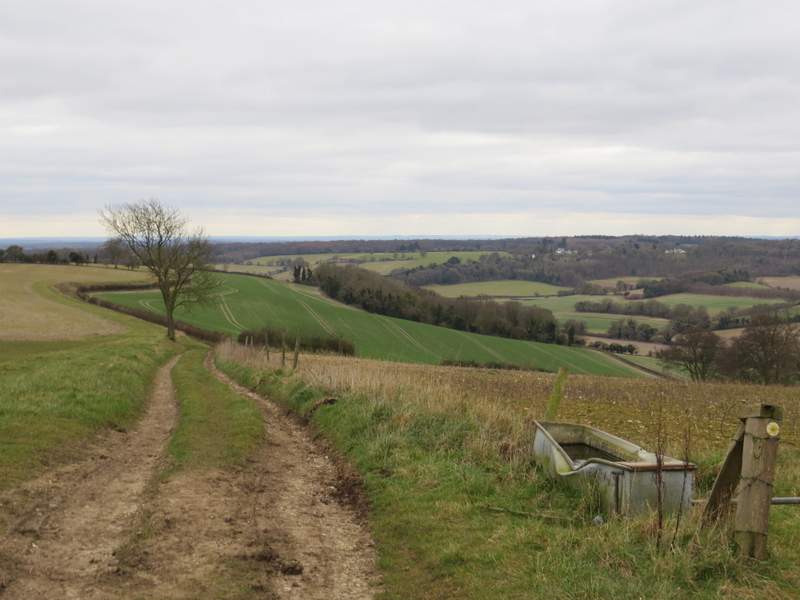
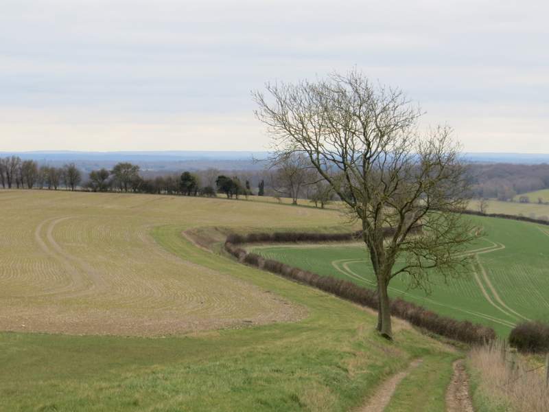
On reaching the farm I continued straight through the yard, then turned right onto another farm track, immediately going through a gate. The track soon turned left, and I was then on another of my favourite sections of path in the Chilterns. The track ran close to the top of a hillside, with the Stonor Valley on my right. Ahead of me there were far-reaching views over the top of Henley (out of sight in the Thames valley) to the woods and hills of Berkshire. I occasionally stopped to admire the views along the valley in both directions - Maidensgrove, my destination, was behind some of the woods on top of the opposite slope above Stonor, while just ahead of me I worked out where Warmscombe Lane (which I'd soon be walking) was on the other side of the valley. When the track ended, I continued alongside a hedge on my right through a ploughed field (it had been ploughed right up to the hedge, making walking here a little awkward). The hedge and path soon turned right, and brought me to a stile and Paradise Wood.
Near the start of the path south from Coxlease Farm (that's Berkshire on the other side of the Thames in the distance)
The path south from Coxlease Farm
The path south from Coxlease Farm
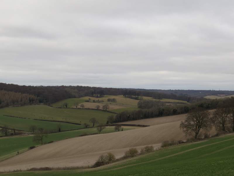
Looking back along the Stonor Valley
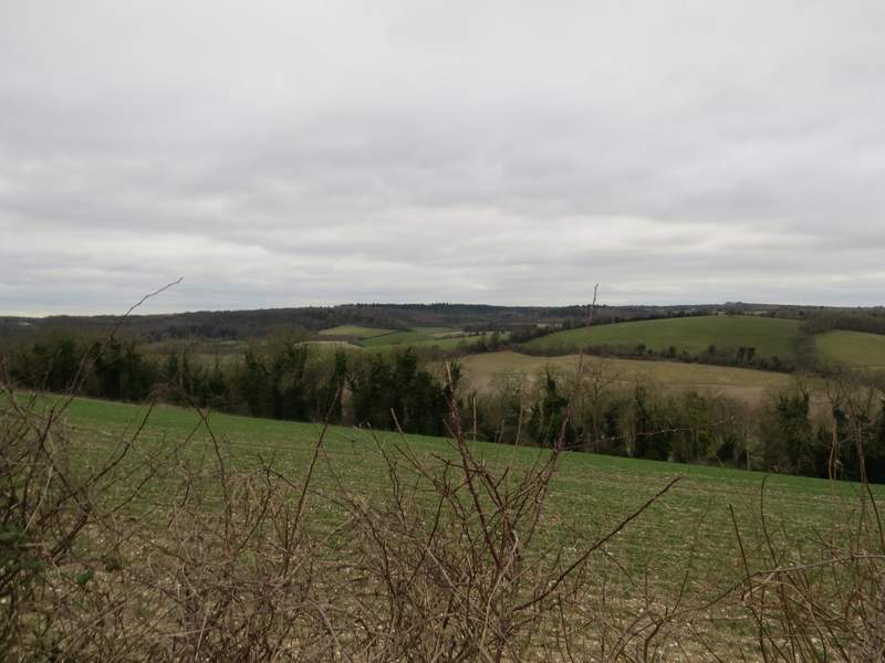
Looking right, across the Stonor Valley - Warmscombe Lane, which I'd soon be walking, is in the hedgerow rising across the centre of the photo
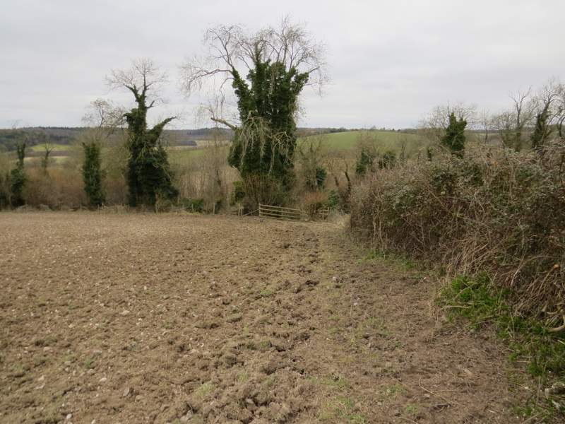
The path south from Coxlease Farm, approaching Paradise Wood