Pete's Walks- Maidensgrove, Ibstone, Middle Assendon (page 6 of 6)
If you are considering walking this route yourself, please see my disclaimer. You may also like to see these notes about the maps and GPX files.
The path turned left, and ran through the wood close to the same ploughed field on my left. I spotted three or four Primroses here, having seen them in a couple of other spots already. At the end of the wood, there should have been a path going right, down to the road through the Stonor valley, but there was no sign of this path so I made use of the path going half-right across another ploughed field to a gate, where I turned right along the road. If I'd gone left I'd have entered Middle Assendon - there is a Lower Assendon further down the valley that way, and Stonor used to be called Upper Assendon (and there is still a farm with that name in the village). I looked carefully as I walked up the road, but there was no sign of the other end of that other path that should have started from the end of Paradise Wood.
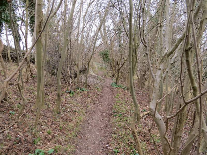
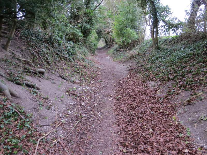
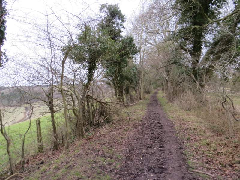
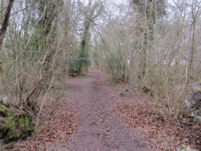
Paradise Wood
Paradise Wood
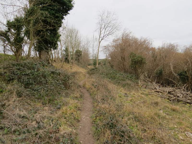
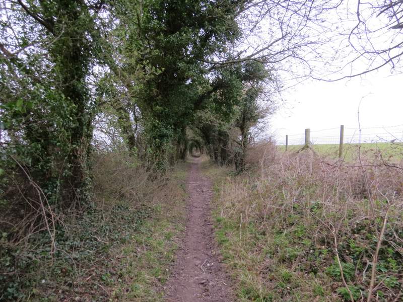
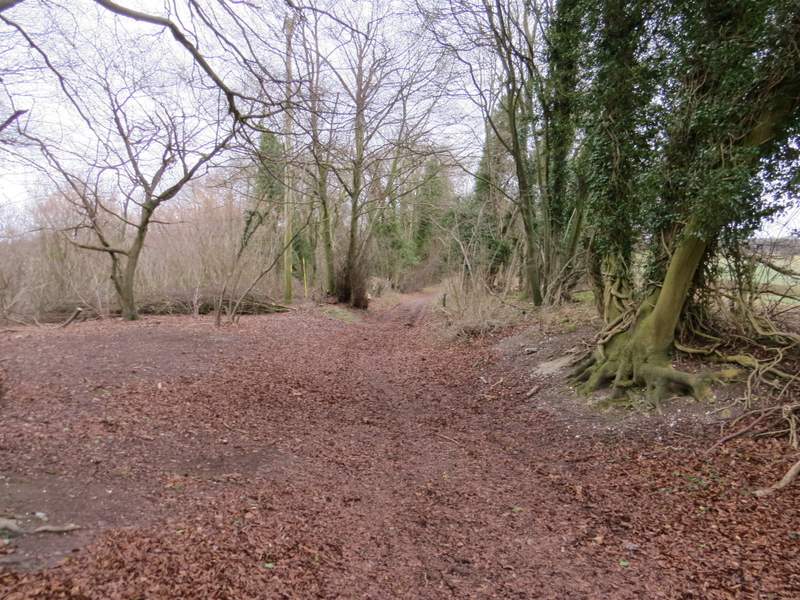
The end of the path south from Coxlease Farm, as it approaches the road just north of Middle Assendon
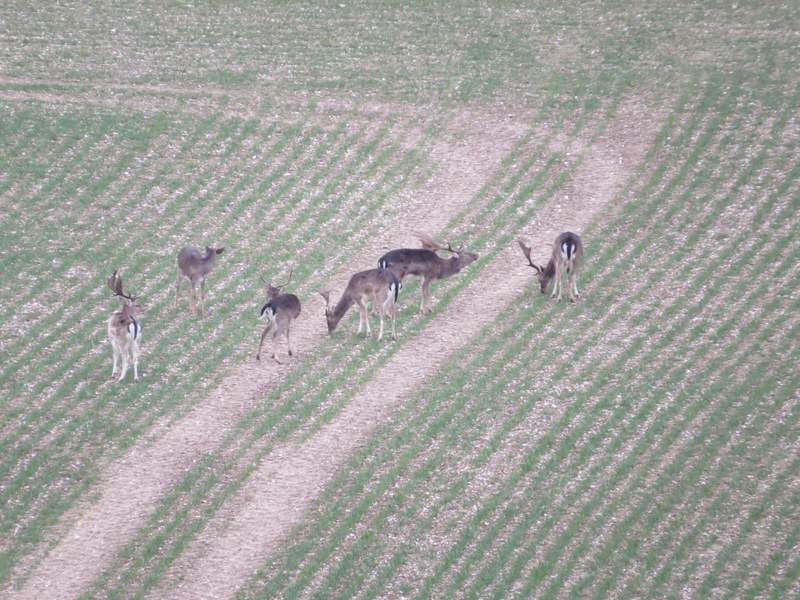
These Fallow Deer were on the other side of the valley, the photo was taken from the same point as the previous one
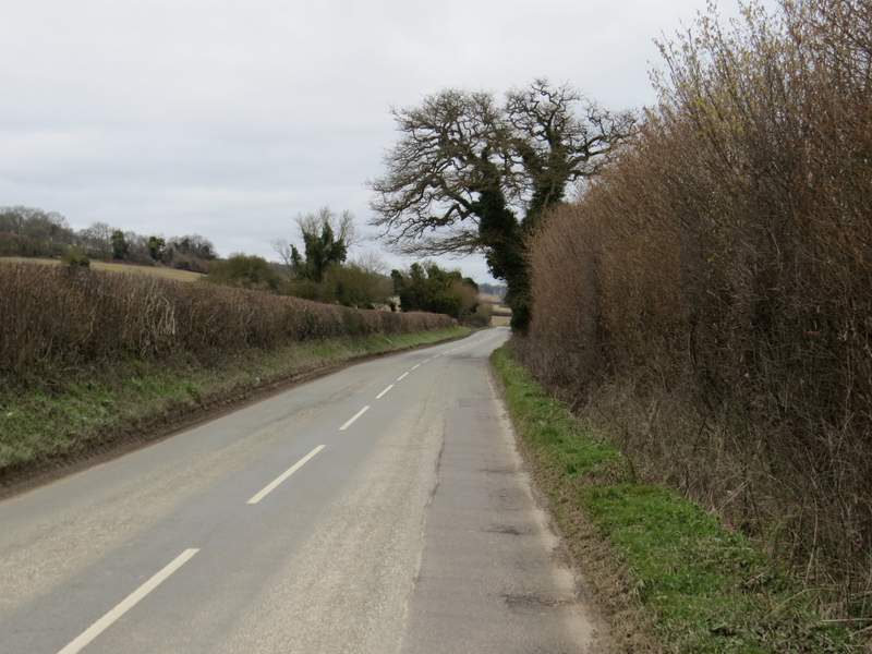
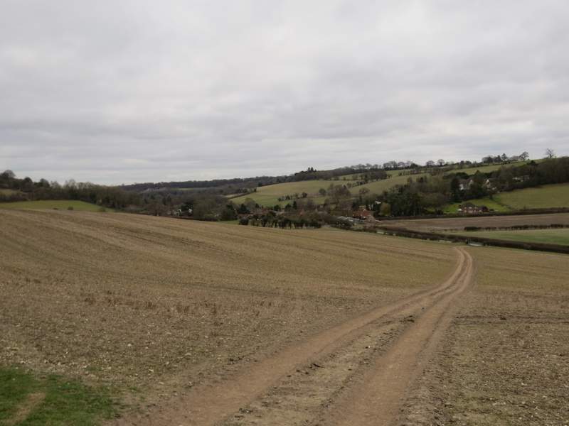
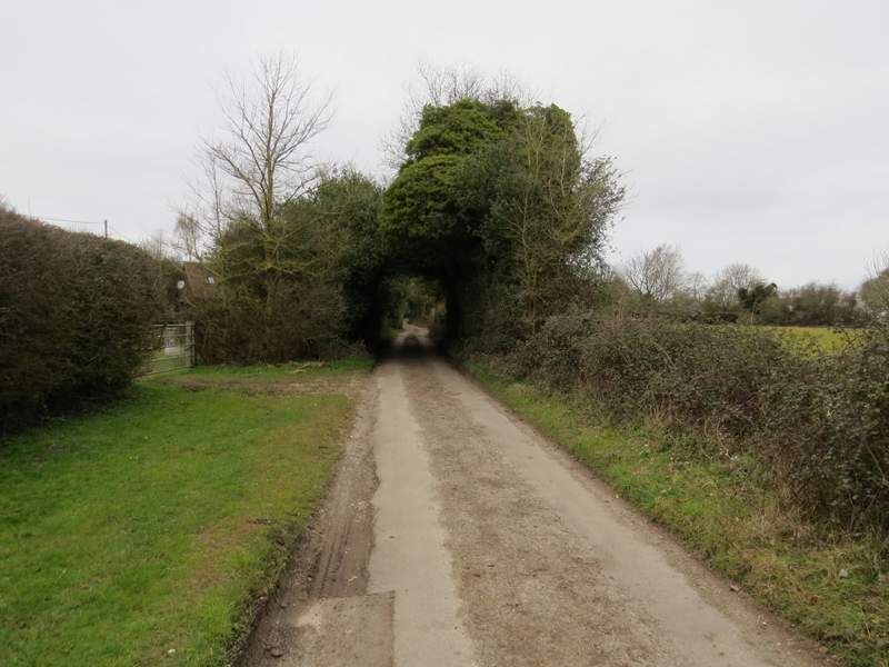
The road going north from Middle Assendon - Warmscombe Lane starts where the trees are on the left of the road
After a quarter of a mile or so, I turned left onto Warmscombe Lane, which is a public byway rather than a surfaced road. This was soon rising steadily uphill, with hedges either side. I didn't see any signs that the byway had ever been surfaced, it seemed no different to many bridleways. At the top of the slope it continued almost flat and in a very straight line for about a mile - there were occasional views through the hedge on my left down to the valley of Bix Bottom where I'd walked near the end of my previous walk, and I could see Valley End Farm and the ruins of the old St James's Church. Further on, I had Freedom Wood on my left.
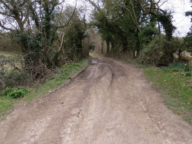
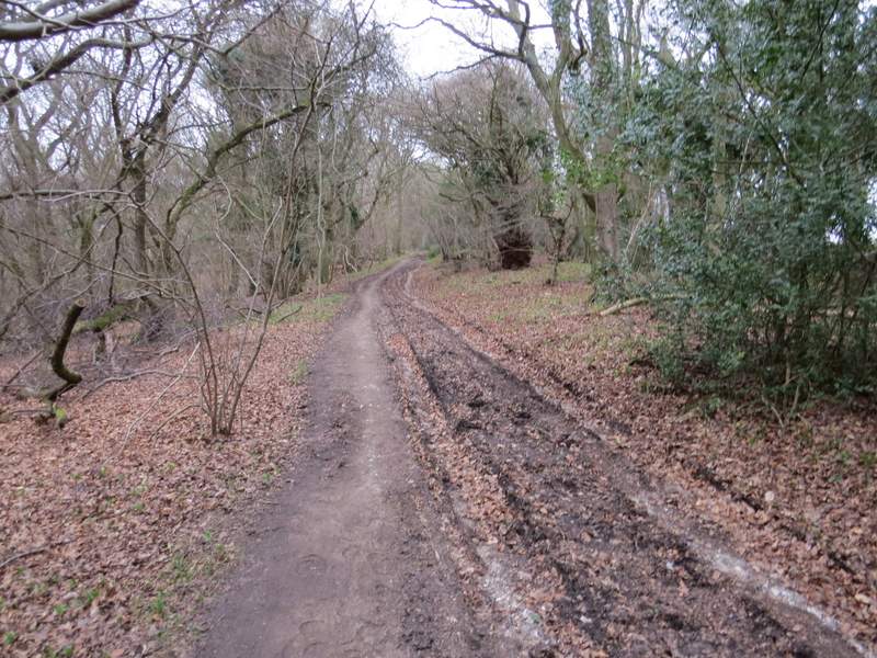
The start of Warmscombe Lane (a public byway)
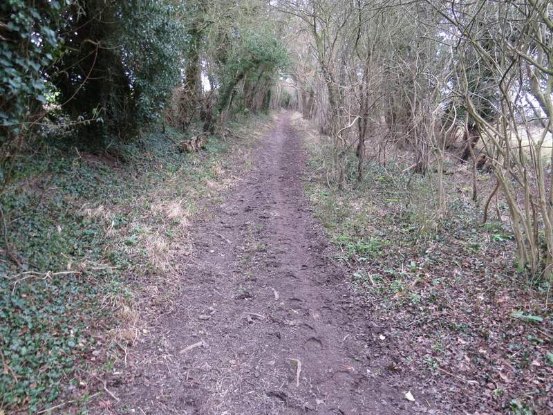
Warmscombe Lane
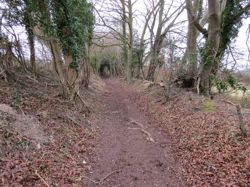
Warmscombe Lane
Warmscombe Lane
Warmscombe Lane
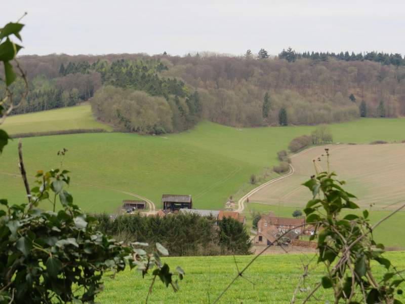
Looking left from Warmscombe Lane, over Valley End Farm in Bix Bottom (where I walked on my previous walk)
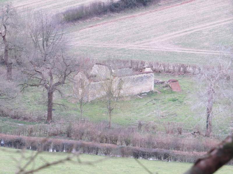
The ruins of St James church in Bix Bottom
Warmscombe Lane
Warmscombe Lane, passing Freedom Wood on the left
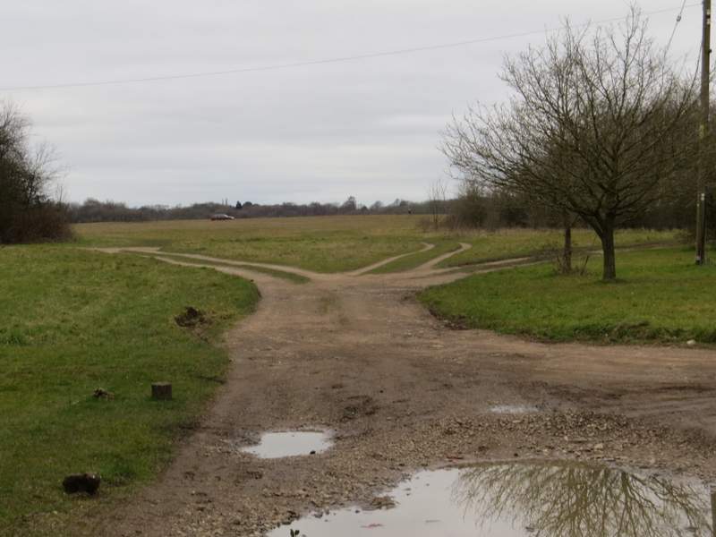
Eventually Warmscombe Lane merged with the bridleway coming up from Bix Bottom on my left. For the next half mile I had part of the wooded Warburg nature reserve sloping down on my left, until I reached the end of a lane at Lodge Farm, Maidensgrove. I turned left along the lane until it turned right, where I went left and made my way back to Maidensgrove Common and my waiting car.
This shot is taken from where Warmscombe Lane and the bridleway from Bix Bottom come together
The bridleway continuing to Lodge Farm, Maidensgrove
The lane through Maidensgrove
Approaching Maidensgrove Common
My very dull description really doesn't do this walk justice, it was quite simply one of the best walks I've ever done in the Chilterns. I think that before I'd even got as far as Pishill I was already thinking about doing it again in a few months time when it's warmer and sunnier. I was amazed that I could link so many of my favourite paths and places together in one route, although when I do it again I will definitely use the alternative I mentioned between Ibstone and Turville Court (shown as Alternative 1 on my Google map) - the only reason I didn't use it this time was that I walked it just a few weeks ago. In fact there are a couple of other slight tweaks I'd like to make to the walk - I am convinced it will then be the finest 15-mile route I've walked in the Chilterns!
The only negative thing I'd say about the route is that I probably wouldn't want to do it in the other direction (anti-clockwise) - I'm sure it would still be a good walk, but it would definitely be inferior to doing it clockwise. The bridleway down to the Wormsley Valley, the path through the deer park at Stonor and the path south from Coxlease Farm are all better walked in the direction I did them today.
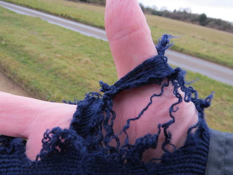
I think it's time to buy myself a new pair of fingerless gloves! These old ones have served me well for at least 10 years, since before I started this web site.