Pete's Walks- Watlington Hill, Russell's Water, Swyncombe (page 2 of 6)
If you are considering walking this route yourself, please see my disclaimer. You may also like to see these notes about the maps and GPX files.
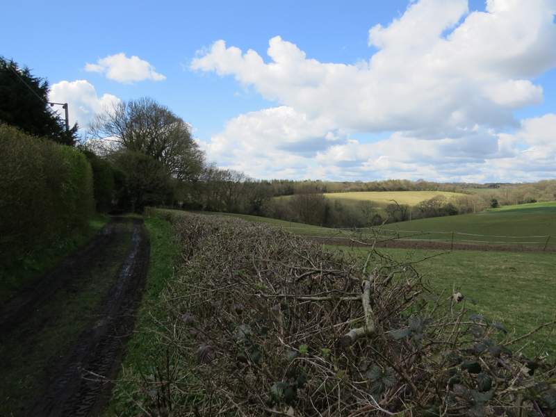
I turned right along the road for a very short distance, before I turned left along the lane to Pishill church. As I passed the church on my right, I spotted my first Orange-tip butterfly of the year. A little past the church the lane ended, and I took the rightmost of two bridleways that started, this one going right and initially running parallel to a drive that also continued from the end of the lane. The bridleway ran between tall old hedges, and then past Long Wood on my right. Beyond the wood it again ran between hedges, before after almost a mile it reached a farmyard.
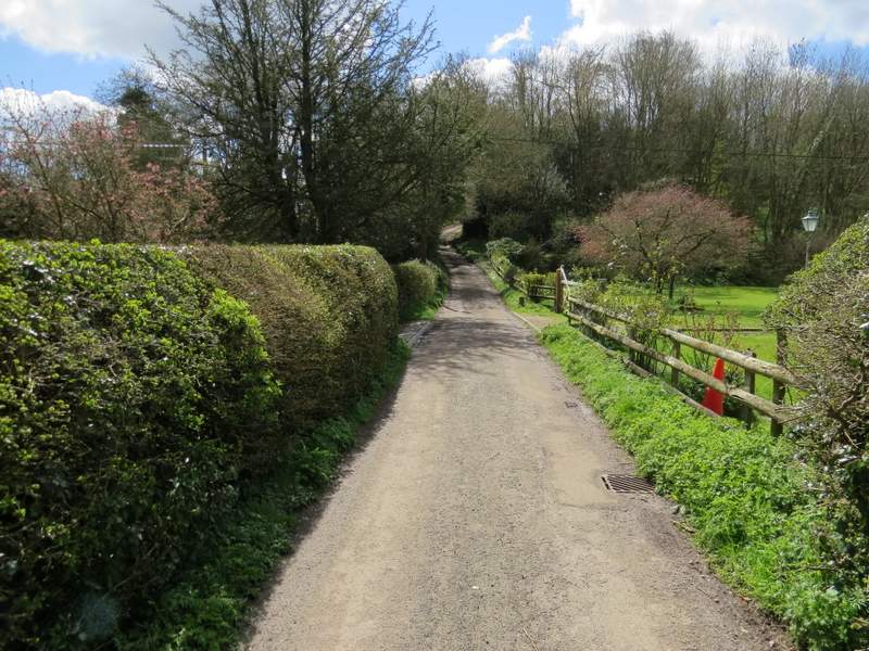
The lane to Pishill church
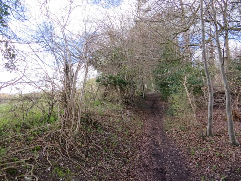
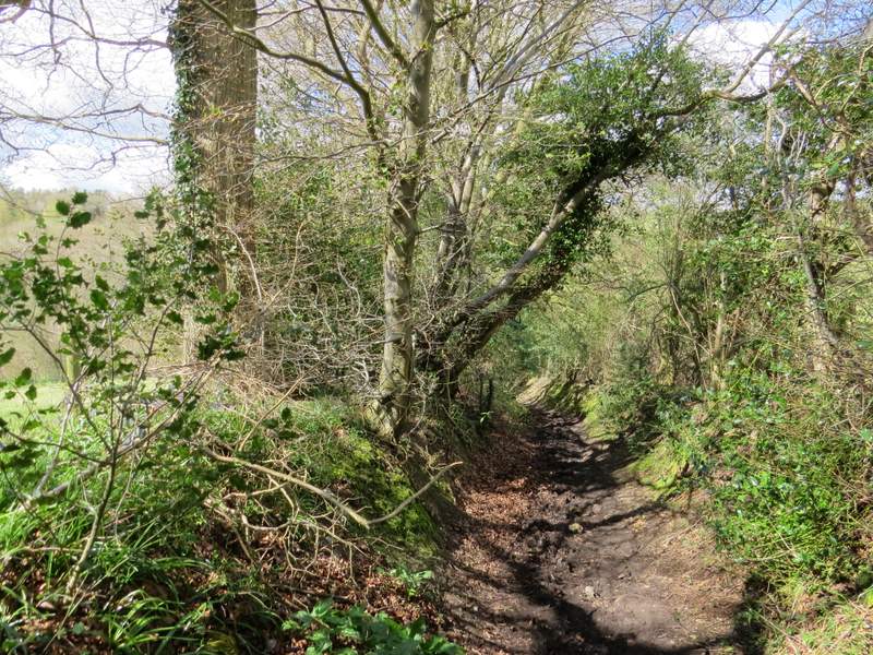
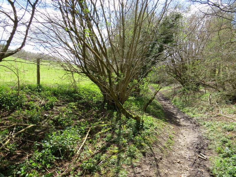
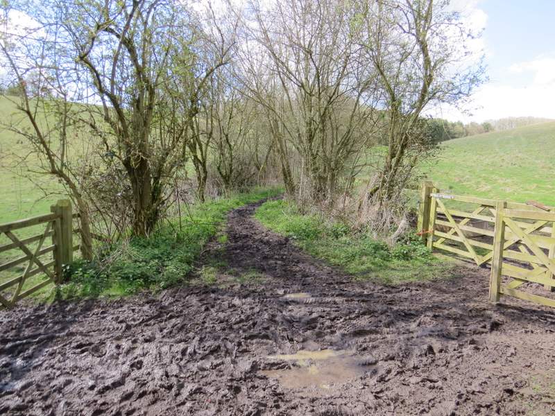
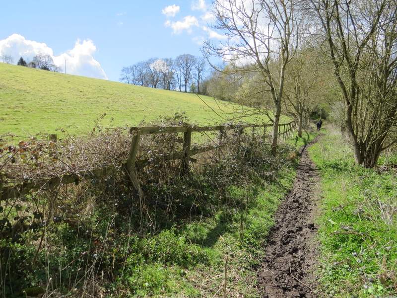
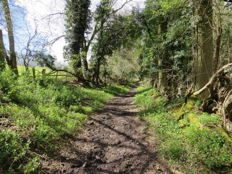
The bridleway from Pishill to Russell's Water Common
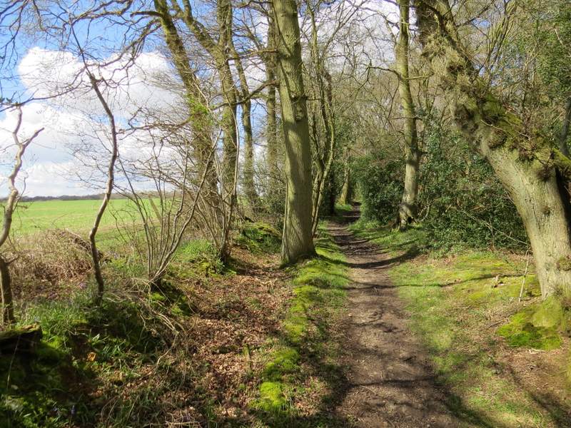
The bridleway from Pishill to Russell's Water Common
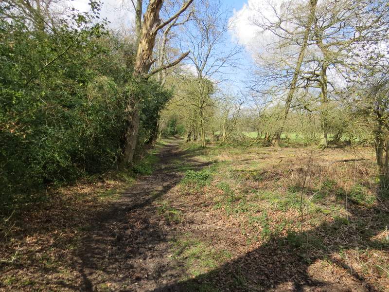
The bridleway from Pishill to Russell's Water Common
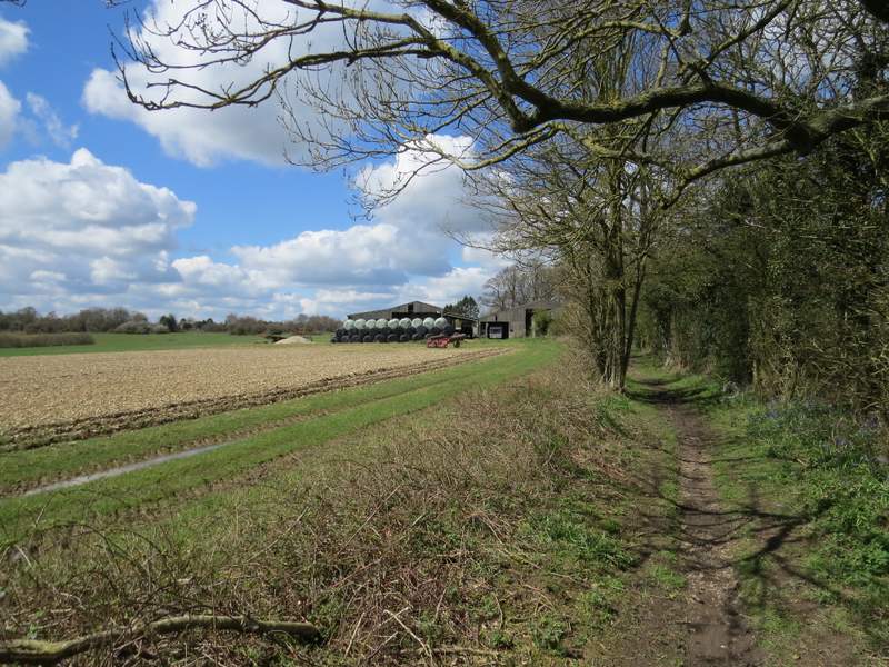
The bridleway from Pishill to Russell's Water Common
Beyond the farmyard I went straight on into the middle of part of Russell's Water Common, the drive from the farm yard gradually going further left. Just after passing a hollow in the grass on my right, I turned left, aiming for the leftmost of two conifers in the trees on that side of the common (maybe a hundred yards beyond where the farm drive entered the trees). I could soon see a post with waymarks, and when I got to it I followed a track into the hamlet of Russell's Water, passing the village pond on my left (there are some big fish in it!).
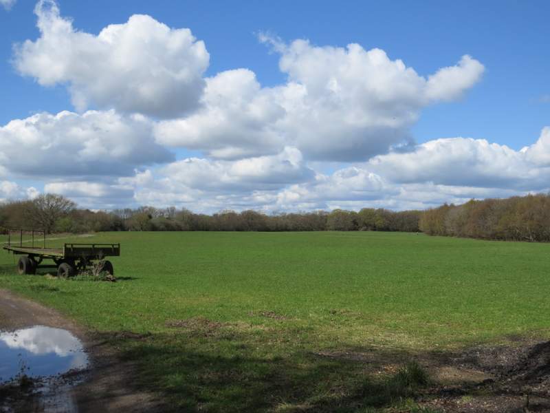
Russell's Water Common (this is actually just a small part of it)
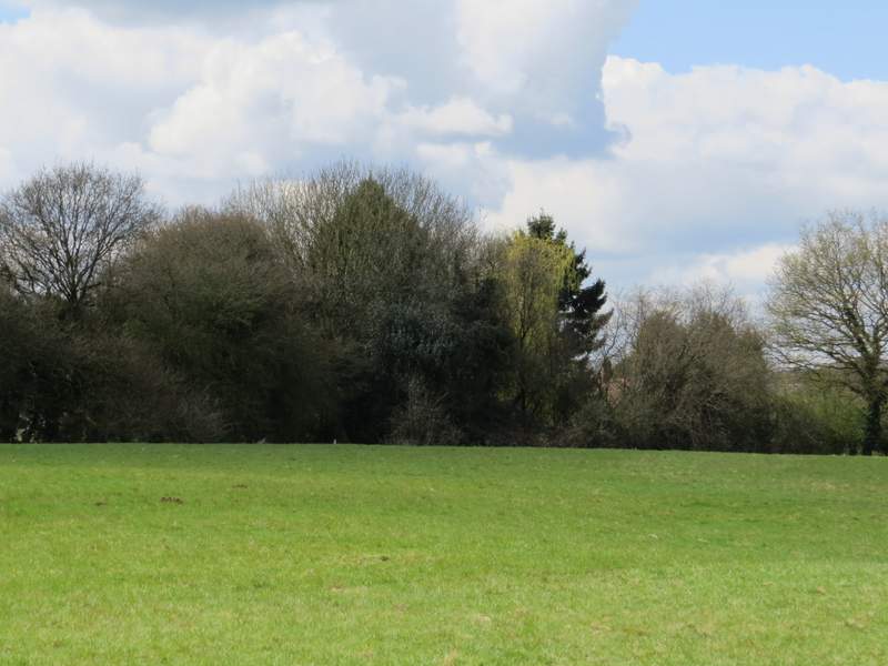
The bridleway turns left in the middle of the common and heads towards the leftmost of two conifers (you can just see the waymarks on top of a post)
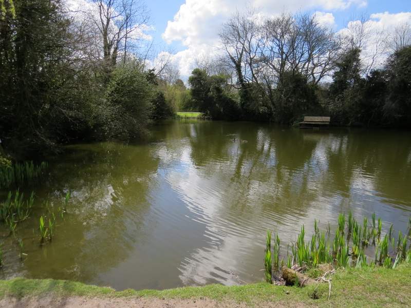
The pond in Russell's Water
I turned left along the lane through the hamlet, then just after a bend I took a bridleway on the right. This was heading west, and soon dropped quite steeply down into a valley. At the bottom of the slope I turned left at a bridleway T-junction, following this bridleway along the valley bottom for no more than a quarter of a mile before turning right onto another bridleway. This was the first time I'd walked this bridleway in this direction, only having walked it once before when I did this route the other way round six years ago. It led gently uphill between fences and hedges to reach Redpits Manor.
Near the start of the bridleway going west from Russell's Water
The bridleway going west from Russell's Water
The bridleway along the valley bottom
The start of the bridleway to Redpits Manor
The bridleway to Redpits Manor
The bridleway to Redpits Manor
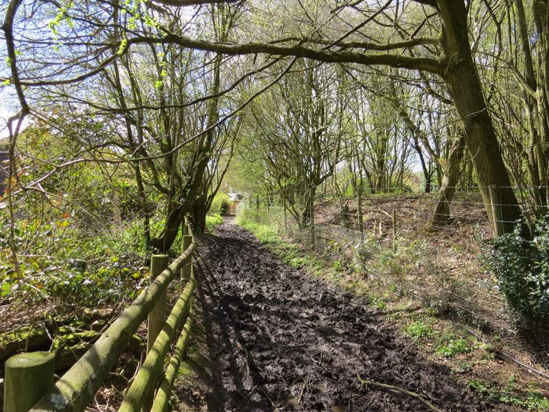
The bridleway to Redpits Manor