Pete's Walks- Watlington Hill, Russell's Water, Swyncombe (page 3 of 6)
If you are considering walking this route yourself, please see my disclaimer. You may also like to see these notes about the maps and GPX files.
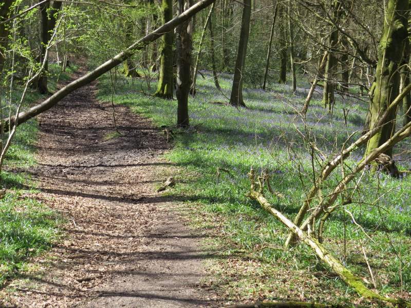
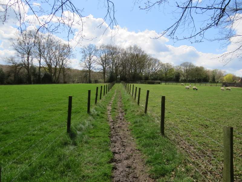
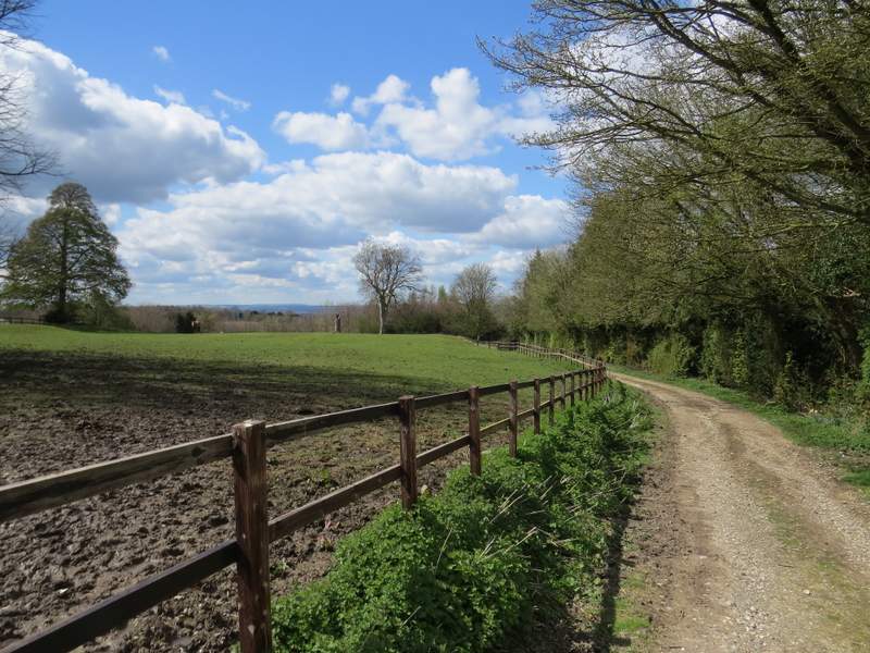
The bridleway continued past the outbuildings of Redpits Manor, where there was a fine view on my left along a wooded valley (I think some if it is the Warburg nature reserve). The bridleway was very muddy here, as it continued on beside a wooden fence on my left. It dropped down gently into a slight valley, then rose more steeply through a wood on the other side - there were a lot of Bluebells here, but they were not quite at their best. Beyond the wood, the bridleway ran between fences with paddocks or pastures either side, then followed a track to reach the corner of a lane in the hamlet of Park Corner.
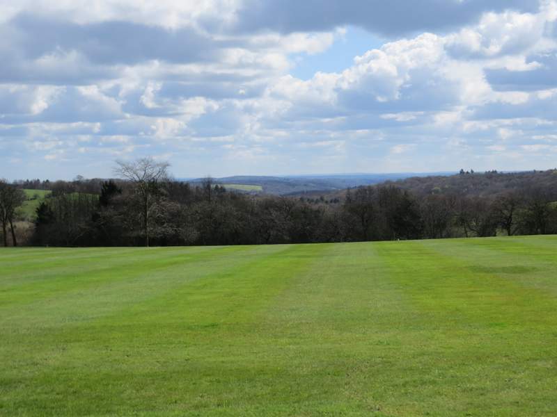
The view looking southeast from Redpits Manor
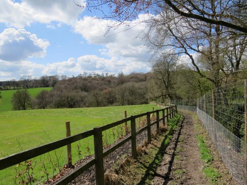
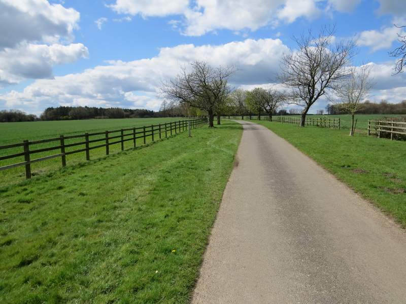
The bridleway continuing from Redpits Manor
The bridleway continuing from Redpits Manor
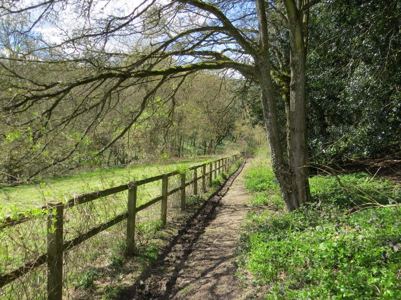
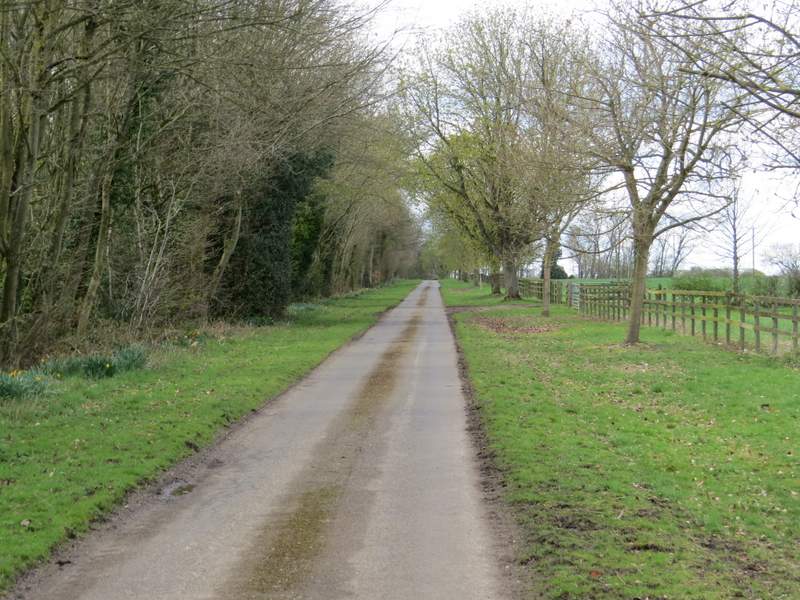
The bridleway continuing through Priors Wood
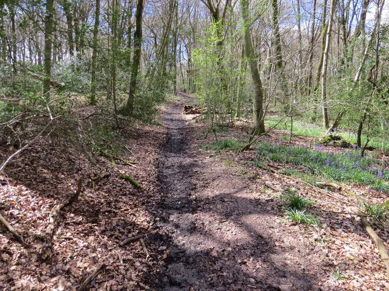
The bridleway continuing through Priors Wood
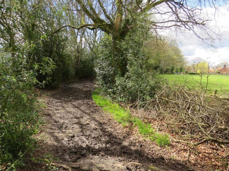
The bridleway after leaving Priors Wood
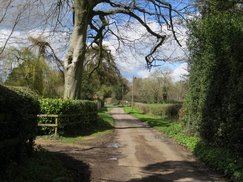
The bridleway approaching Park Corner
I went straight on along the lane (rather than go left). At its end, I turned right along the minor road through Park Corner, but only for a few yards before taking a lane on the other side. I soon spotted my first Greater Stitchwort of the year beside the lane, amongst more Bluebells. After three or four hundred yards I turned left onto a bridleway that followed the long surfaced drive to Ewelme Park (this used to be a royal deer park, I found this interesting web site about its history).
The lane from Park Corner
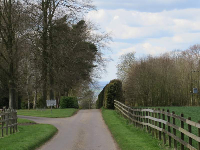
The drive to Ewelme Park
The drive to Ewelme Park
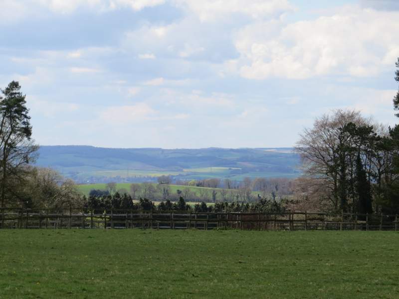
Looking left from the drive to Ewelme Park, across the Thames Valley to the Berkshire Downs
Approaching Ewelme Park (the bridleway goes straight on here)
After about a mile, the bridleway crossed the route of the Ridgeway national trail, with the large house of Ewelme Park over to my left and a farmyard to my right. The bridleway passed a paddock on my left, then started to descend steadily downhill beside an embankment on my left. there was a really nice view ahead, out over the Oxfordshire Plain.
The bridleway continuing from near Ewelme Park
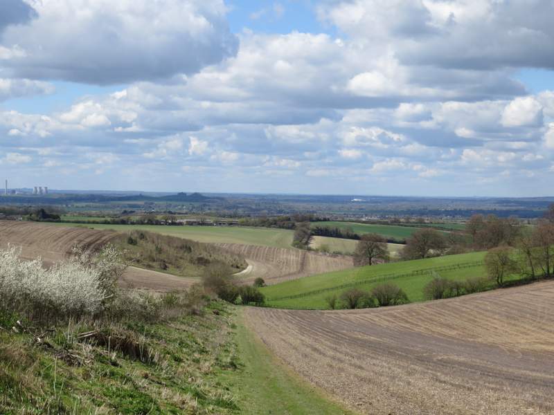
The bridleway continuing from near Ewelme Park (what remains of Didcot Power station on the left, the dark lumps in the centre are Wittenhamp Clumps and the white patch just below the skyline is Culham Labs (I think)