Pete's Walks- Watlington Hill, Russell's Water, Swyncombe (page 4 of 6)
If you are considering walking this route yourself, please see my disclaimer. You may also like to see these notes about the maps and GPX files.
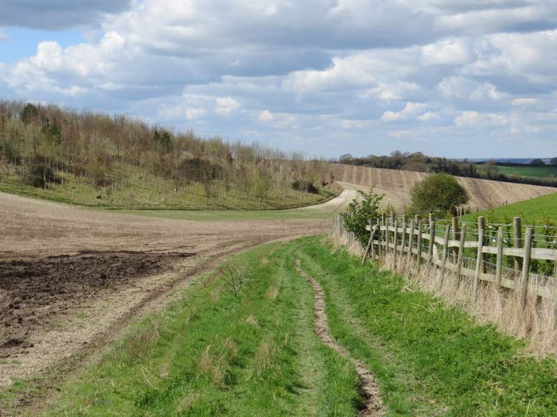
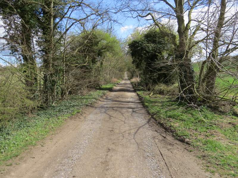
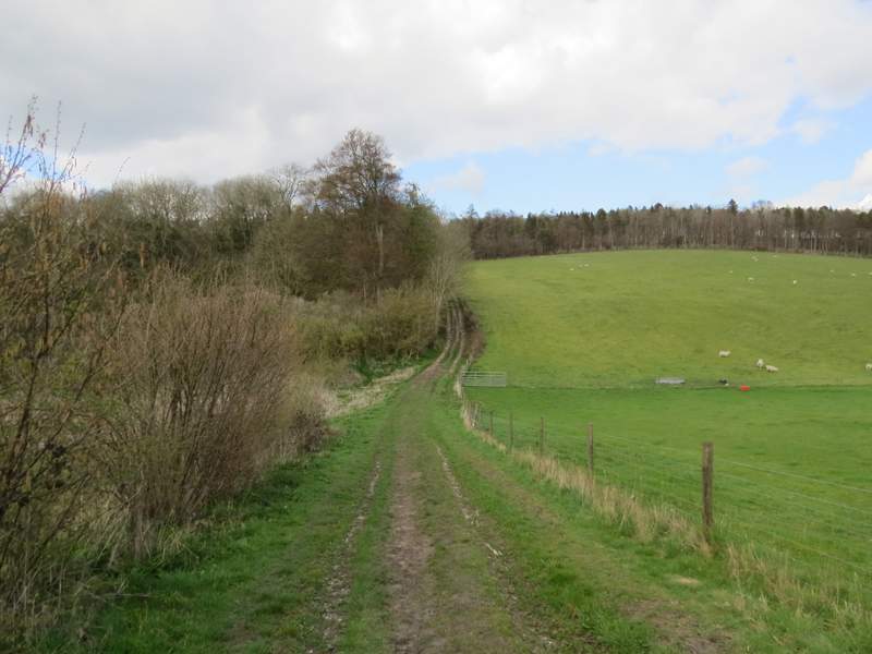
At the bottom of the slope, the bridleway continued on pleasantly along a grassy track, following a fence and then a hedge on my right. When it eventually reached a bridleway crossroads, I turned right onto a farm track (part of the route of Swan's Way, which I walked in 2007).
The bridleway continuing from near Ewelme Park
The bridleway continuing from near Ewelme Park
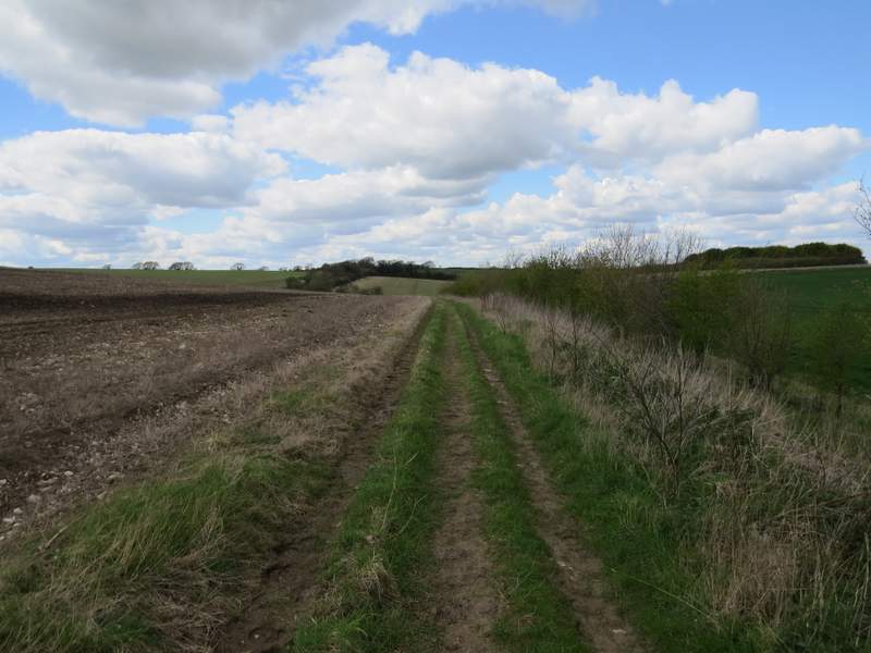
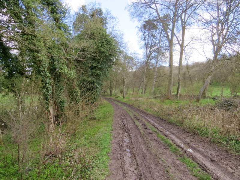
The bridleway after I turned right at a bridleway crossroads
The bridleway after I turned right at a bridleway crossroads (Swyncombe Downs in the distance)
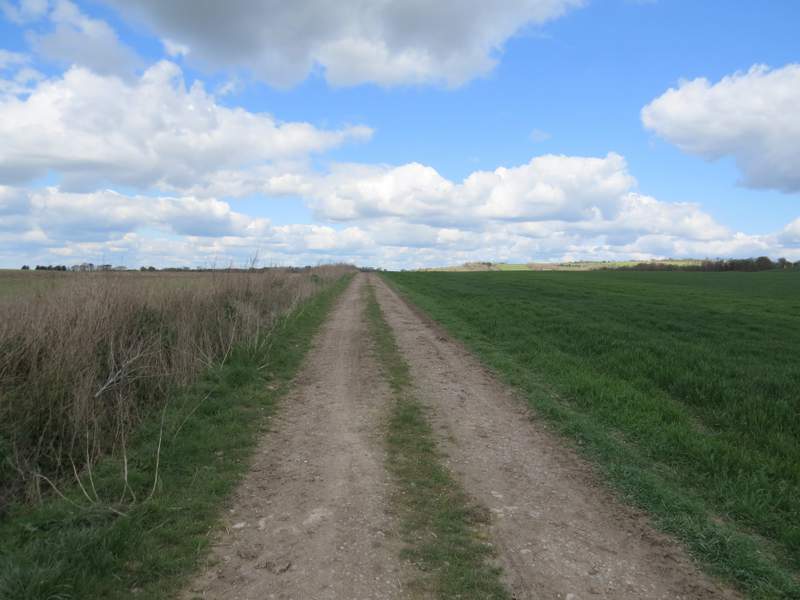
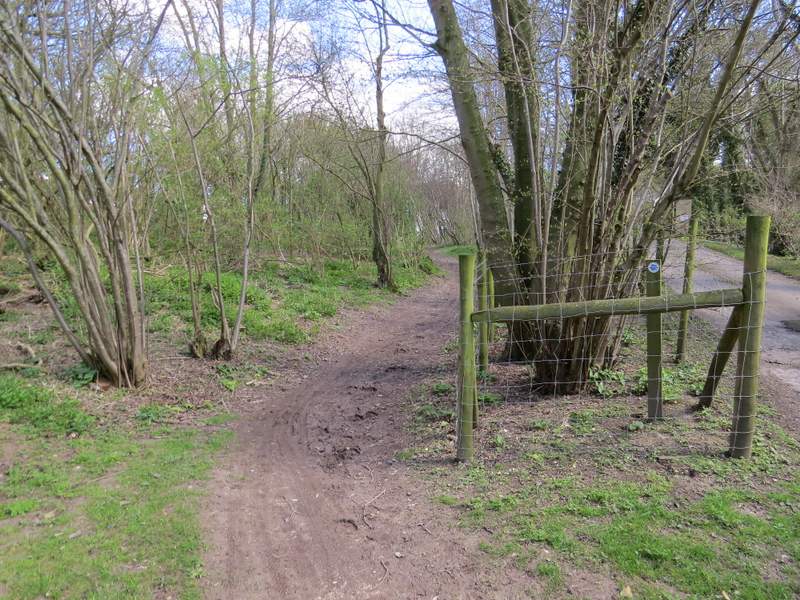
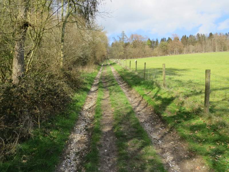
After just over half a mile I reached another bridleway crossroads, where I again turned right, joining a surfaced drive running between mature hedgerows. After a few hundred yards, just before some gate posts, the bridleway forked slightly left from the drive, and was soon following a long hedgerow beside an arable field on my right. This part of the bridleway is marked 'Ladies Walk' on the OS map but I don't know why - I guess it has some connection to Swyncombe House which the bridleway passes further on.
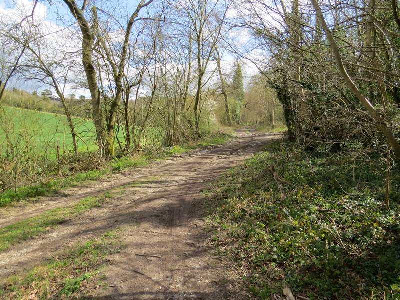
The drive, after I turned right from the bridleway
Where the bridleway forks left from the drive
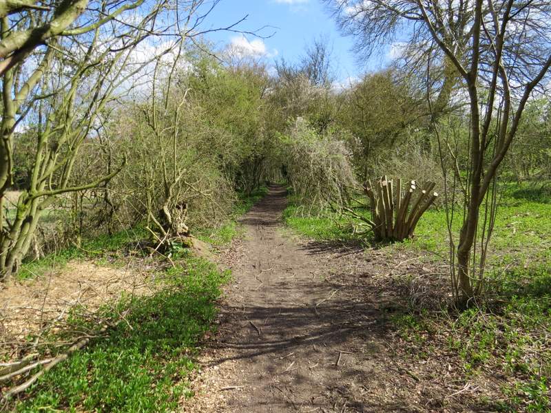
The bridleway named Ladies Walk on the OS map
The bridleway named Ladies Walk on the OS map
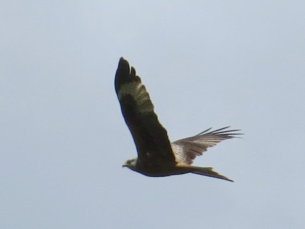
This Red Kite came so close it would have been rude not to take it's photo!
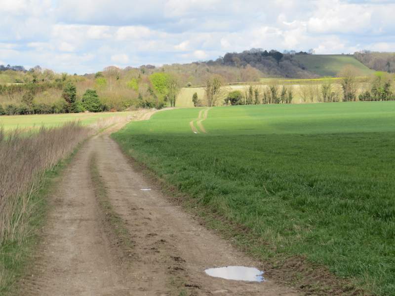
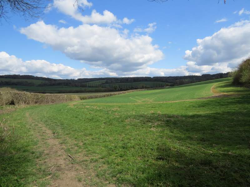
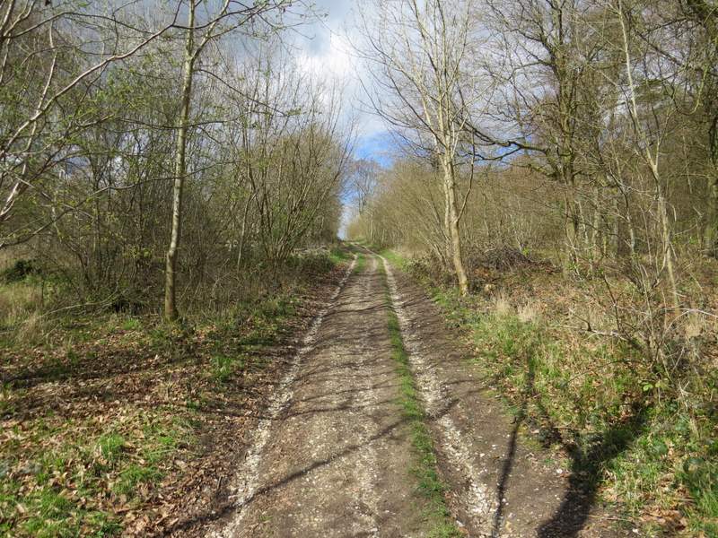
Beyond the field, the bridleway entered a long and narrow strip of woodland along the floor of a valley, named Colliers Bottom on the OS map. After a while the bridleway followed the valley as it curved left, and I joined the route of the Ridgeway after it came in on a footpath from the right. There were lambs in the field to my left now, and I passed some outbuildings of Swyncombe House on my right. I then passed the 11th-century church of St Botolph, one of my favourite churches in the Chilterns (its history is told on this web page - I walked past the site where Botolph built his church at Iken several times when I lived in Suffolk).
The bridleway continuing along Colliers Bottom
The bridleway continuing along Colliers Bottom
The bridleway continuing along Colliers Bottom
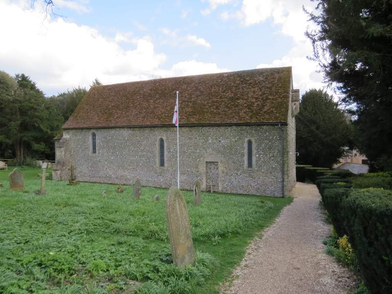
St Botolphs church, Swyncombe
A short lane continued from the church, turning left and soon coming to a T-junction. Here I went straight on along a footpath, descending quite steeply into a valley and then climbing equally steeply up the other side, with a wood now on my left. Towards the top of the slope the path entered the wood - I was puffing and panting a bit now, but after a while the path levelled off.
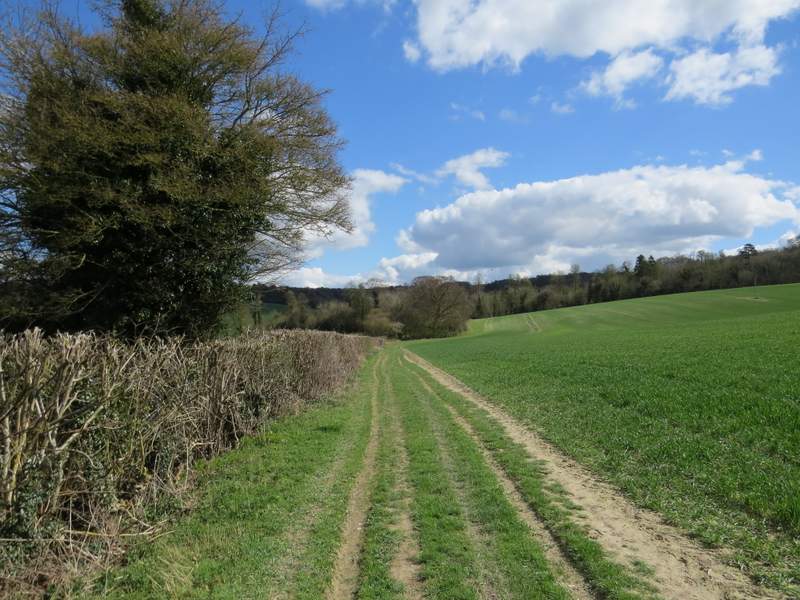
The Ridgeway, going north from Swyncombe
The Ridgeway, going north from Swyncombe
The Ridgeway, going north from Swyncombe