Pete's Walks- Stoke Row, Woodhouse Farm, Checkendon (page 4 of 6)
If you are considering walking this route yourself, please see my disclaimer. You may also like to see these notes about the maps and GPX files.
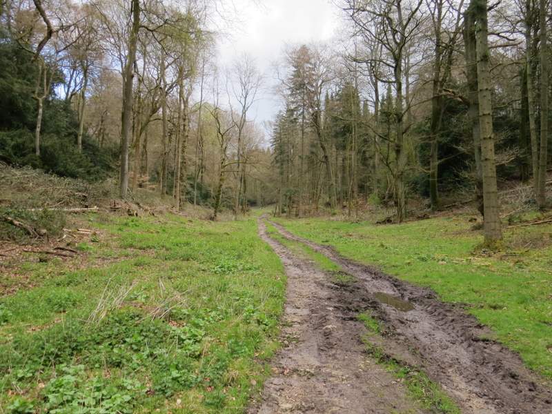
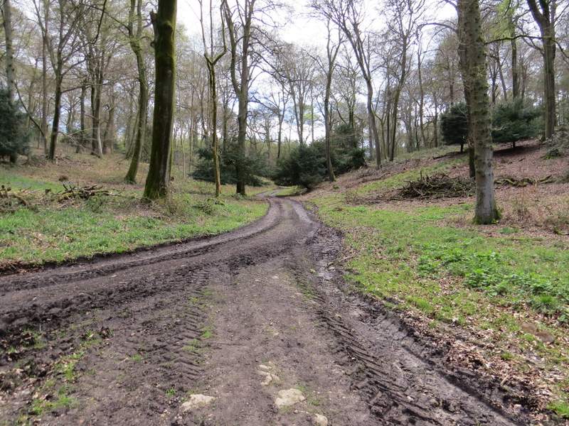
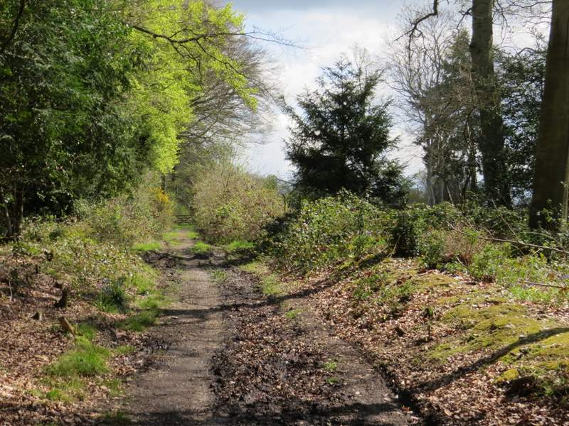
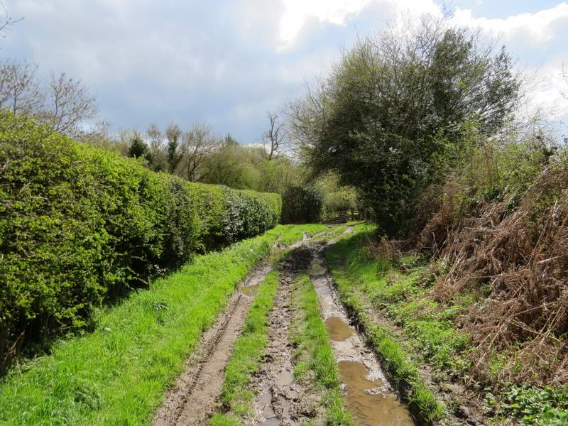
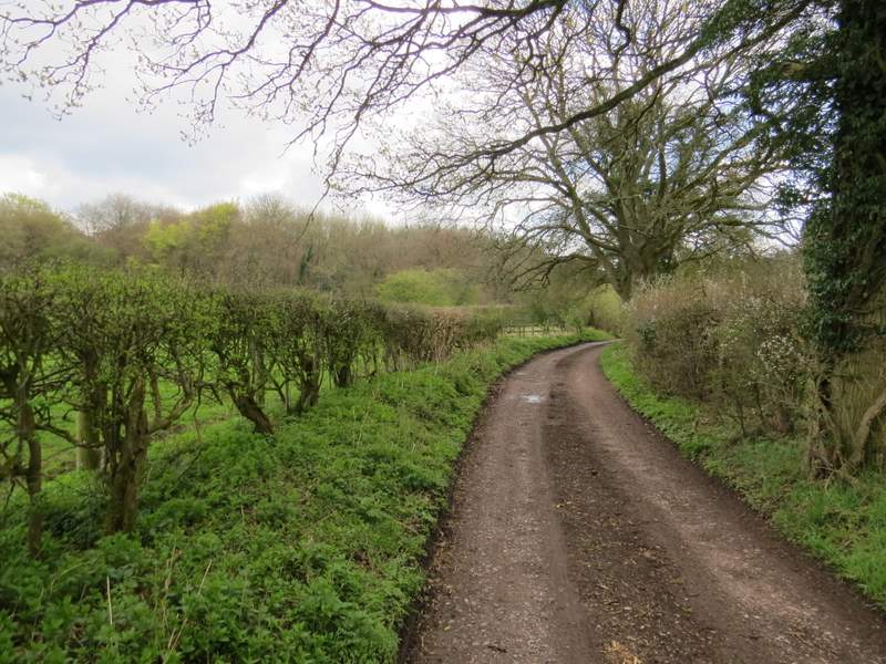
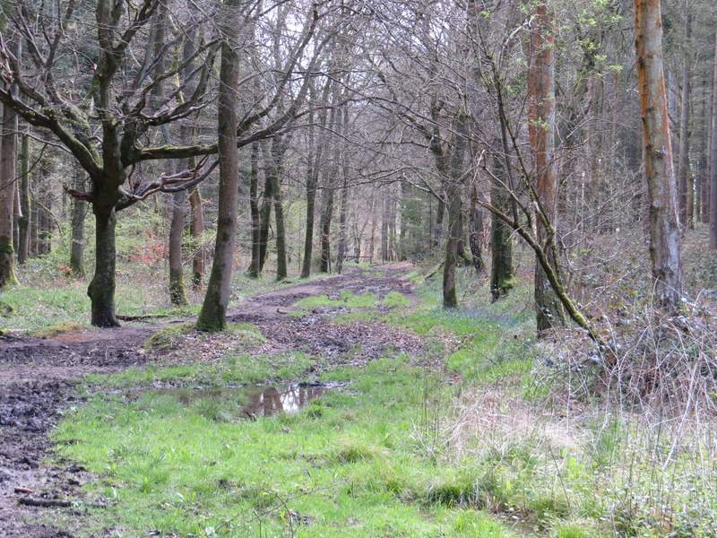
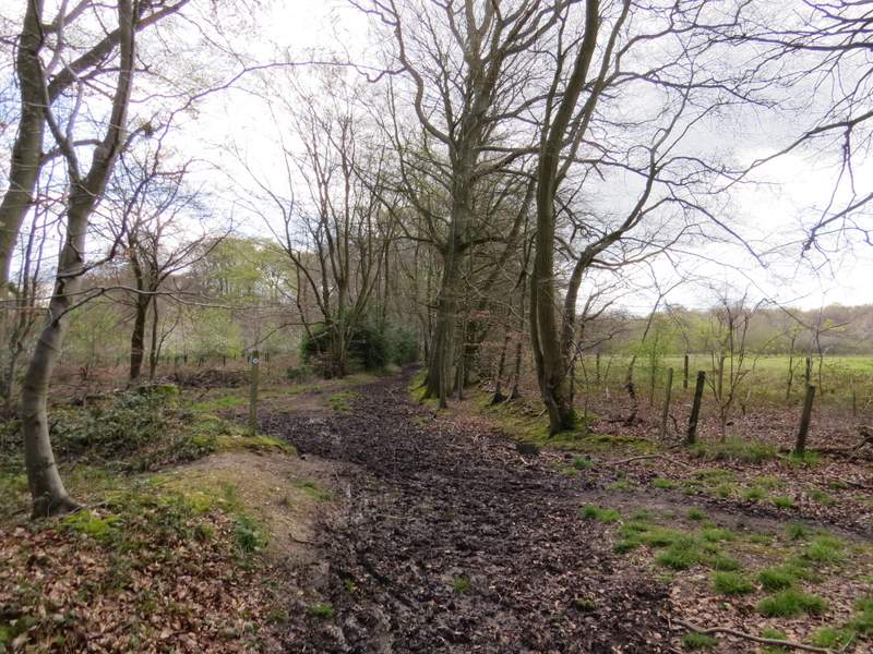
In the bottom of a valley I came to another path junction where I forked left, following a broad (and initially very muddy) track through the wood. I think, from the OS map, that this area was called Braziers Common. The track followed the valley bottom, rising almost imperceptibly. After about half a mile, having ignored a path coming in sharply from the left, I turned right at a path crossroads onto another very muddy track. After a few hundred yards I kept left at a path junction (actually I had a bit of difficulty getting across this junction, the mud here was so deep). I followed the path until I reached it's end at a lane near Scot's Farm.
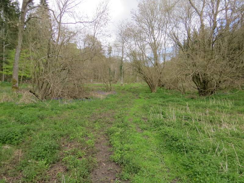
Just after I kept left at a path junction - I think this is Braziers Common
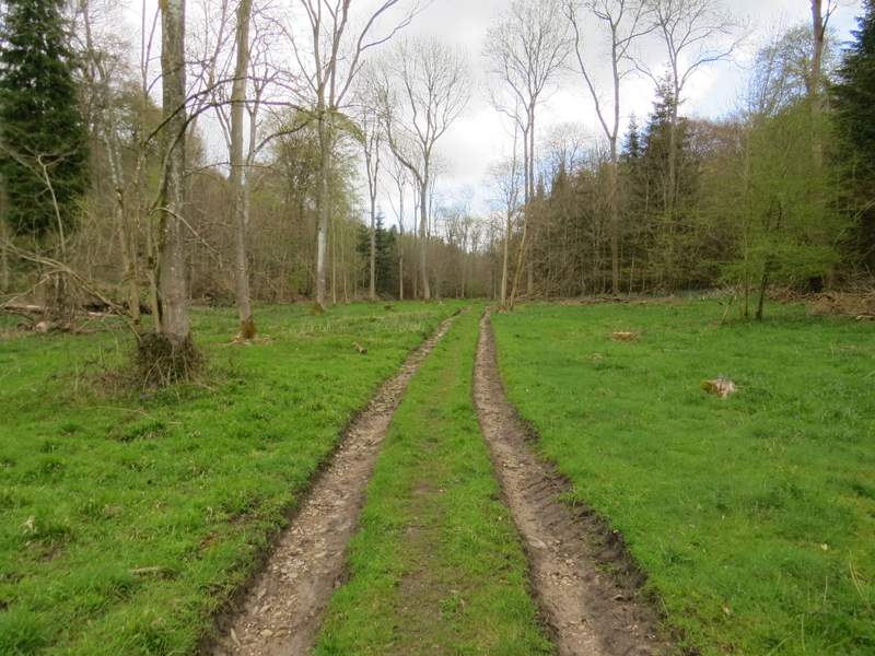
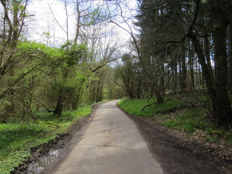
Further along the same path
Further along the same path
Where I turned right at a path crossroads
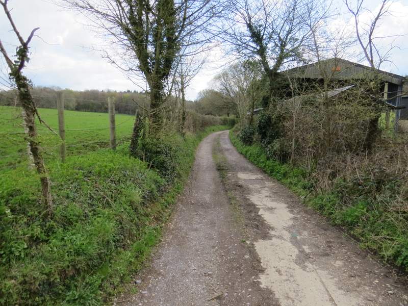
The path approaching the lane near Scot's Farm
Across the lane I continued down a track, with a wood on my left - along here I met the two horse riders again that I'd seen along the path from Hailey to Well Place, and we all said 'Hello again!'. After passing two junctions where paths went half-left into the wood, I was again on what was new territory for me. I soon passed an old cottage on my left, and shortly after came to a gate - another path went right here, but I went through the gate and followed the (very muddy) track which went slightly left through an area of bushes to reach a field. I had to check the map here because there were no waymarks or other signs - I went right for a few yards to reach a wire fence with a paddock beyond, going over a stile at the end of the fence and walking along the edge of the large and long paddock with a wood on my right. Towards the end of the paddock, the wood curved slightly right, and it was only then that I could see the corner of the paddock and the gate and footpath sign that confirmed I was on the right course.
The path going southeast from Scot's Farm
The path going southeast from Scot's Farm, just after the cottage
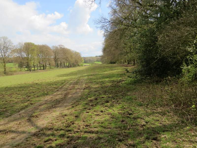
The path going southeast from Scot's Farm, running along the edge of a large paddock
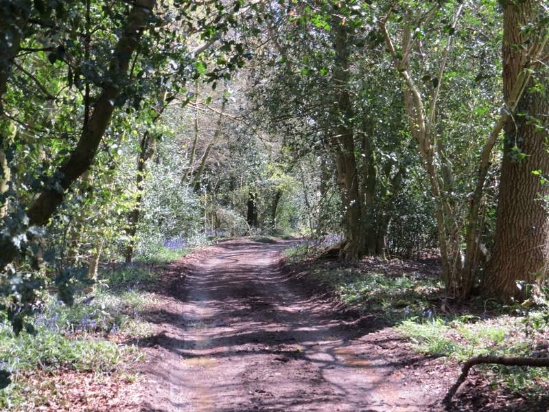
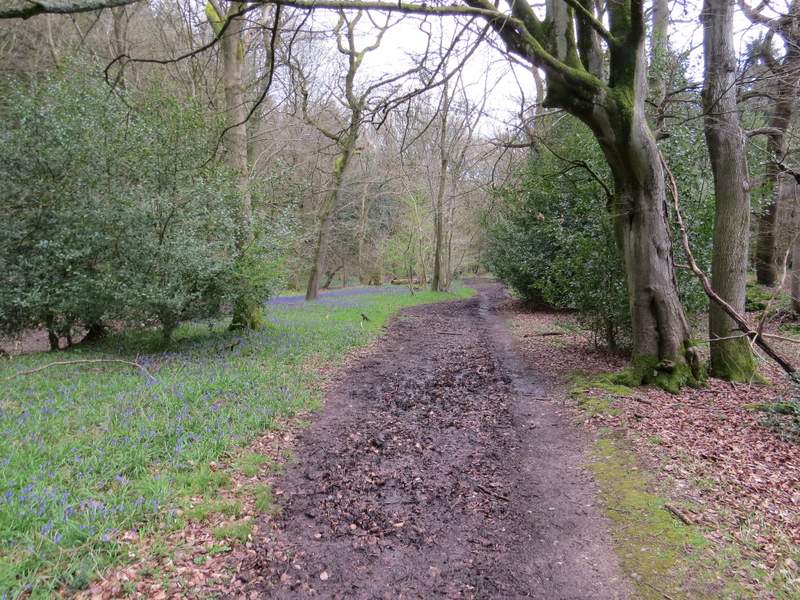
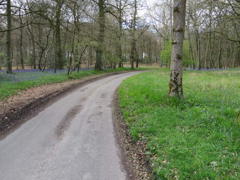
The gate brought me to a junction where a lane met a minor road. I crossed over the road and went down a track, named Judges Road on the OS map. It was the intriguing name that made me want to include this bridleway on my route today - I wondered if perhaps it had been used by judges travelling between different courts, but an internet search hasn't really provided the answer (I came across a page agreeing with my idea, but it wasn't clear if it was stating a fact or just the same supposition as mine). After a while I passed a large cottage undergoing a lot of building work, then the bridleway continued as a track through Ipsden Wood. This was very pleasant with lots of Bluebells in the wood, and near the end of the wood I spotted my first Wood Sorrel of the year.
The start of Judges Road
Judges Road
Judges Road
Judges Road
Near the end of Judges Road
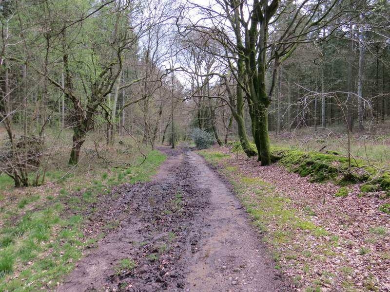
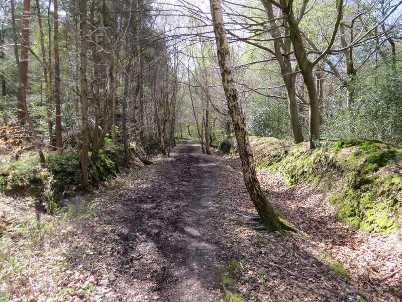
At the end of Judges Road, I turned right along Busgrove Lane (I could have cut the walk short by turning left here instead and following the lane back to Stoke Row). I soon came to a lane junction where I turned right, but then after two or three hundred yards I turned left onto a bridleway (curiously the fingerpost here mistakenly said 'Footpath'). The bridleway headed southwest through a wood, though after a while there was briefly a field on my right. For much of the way there was a small earth bank on one side or other of the bridleway (which, you've probably already guessed, was very muddy in places), the bank presumably being an old boundary between neighbouring estates or properties.
Busgrove Lane at the end of Judges Road, where I turned right (I could have shortened the route considerably by turning left and following the lane into Stoke Row)
The next lane, after I turned right again
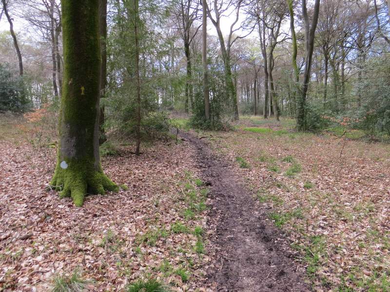
Near the start of the bridleway going southwest to Hook End (the fingerpost erroneously said Footpath)
The bridleway going southwest to Hook End
The bridleway going southwest to Hook End
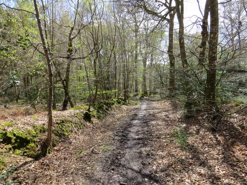
The bridleway going southwest to Hook End