Pete's Walks- Stoke Row, Woodhouse Farm, Checkendon (page 5 of 6)
If you are considering walking this route yourself, please see my disclaimer. You may also like to see these notes about the maps and GPX files.
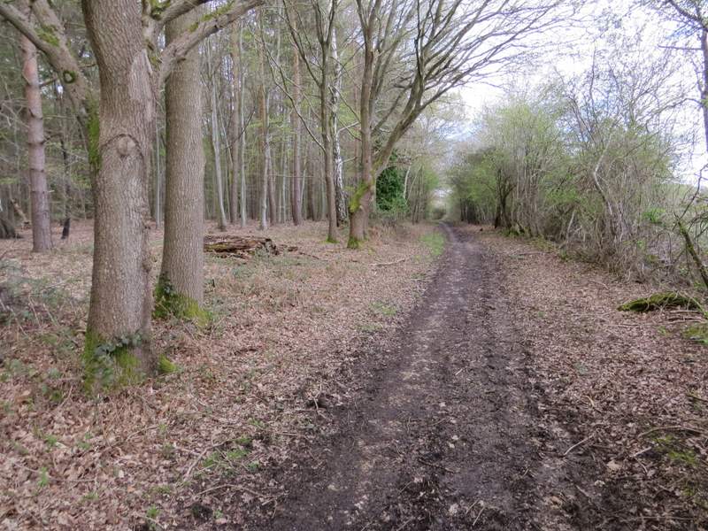
The bridleway went through the tiny hamlet of Heath End, then continued on through the woods - there was soon another very muddy section. A little further on I spotted a Fallow Deer on the path ahead of me, and when it disappeared off into the wood another four or five deer followed it. When the bridleway finally left the wood, it continued between hedges and fences for a while until it reached a lane in Hook End, where I turned left.
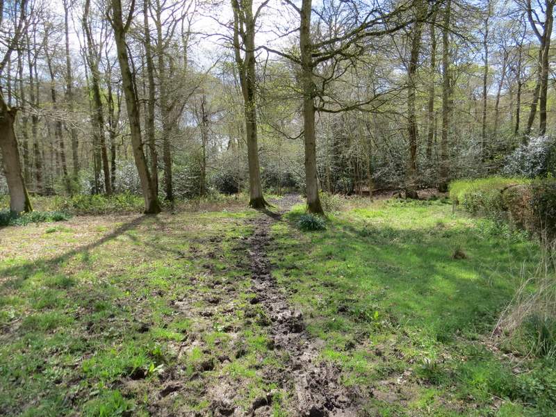
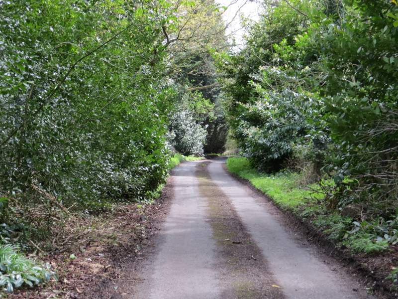
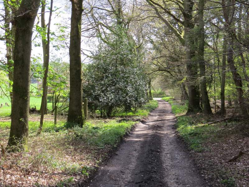
The bridleway going southwest to Hook End (this is just past Heath End)
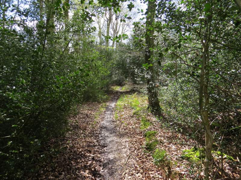
The bridleway going southwest to Hook End
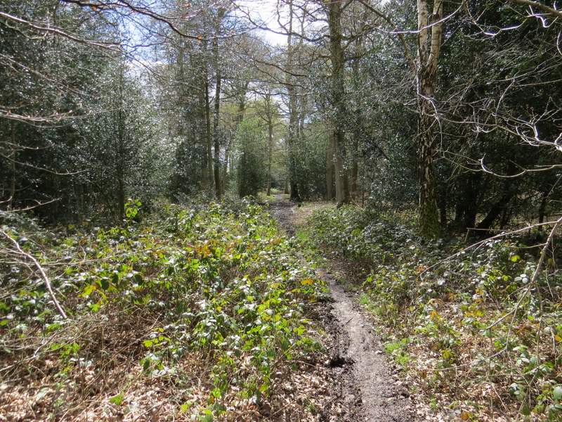
The bridleway going southwest to Hook End
The bridleway going southwest to Hook End
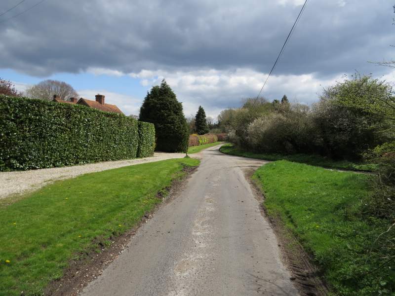
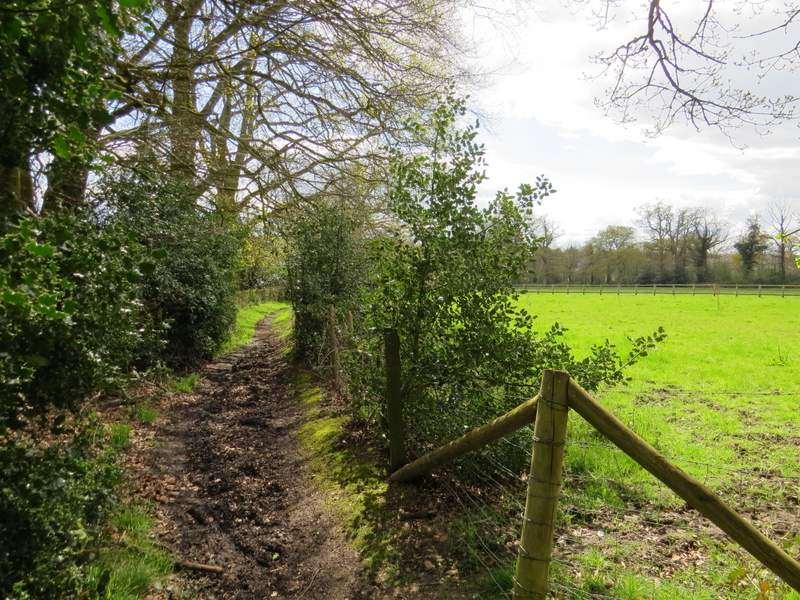
The lane through Hook End
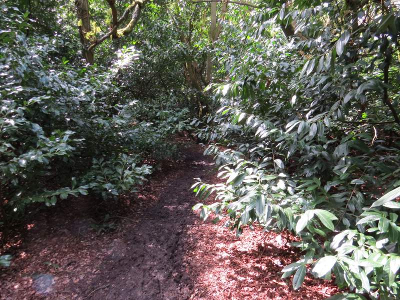
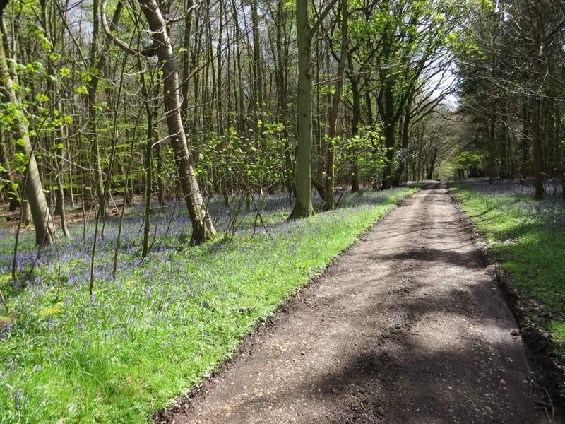
I went straight on when another lane came in from the right, then a little further on I kept right at a fork in the lane. A short distance along the lane I turned right onto a bridleway - I almost missed seeing it, it was hidden amongst Rhododendron bushes. The bridleway went through the bushes for two or three hundred yards (horse riders would surely have to dismount, the bushes formed a continuous low arch over the bridleway), then went half left along a very clear track with woodland either side (lots of Bluebells here). As I reached where the wood ended on my left, I spotted four Fallow Deer feeding in a field corner - the wind must have been in my favour because I was able to approach surprisingly close to them and got a couple of photos.
The lane through Hook End
The bridleway from Hook End to Whitewood Heath
The bridleway from Hook End to Whitewood Heath
The bridleway from Hook End approaching Whitewood Heath
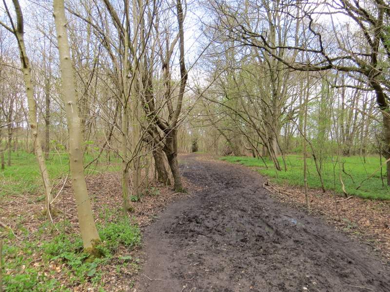
On reaching a track T-junction I turned left, at a place marked Whitewood Heath on the map. I was now back on familiar ground, as I followed a byway eastwards, with a hedge to my right and a large arable field (the same one that I'd just seen the deer in) over a wooden fence on my left. At the end of the field I crossed Park Lane (which was the lane I'd been on as I left Hook End), and continued straight on along a bridleway through part of a wood called Nippers Grove. The bridleway was soon running along the edge of the wood, with more arable fields to my right, and both wood and bridleway slowly turned more to the left, to head north-eastwards. After about three-quarters of a mile I crossed another lane, continuing through more woodland for maybe a quarter of a mile before I reached a third lane (Wyfold Lane, I think).
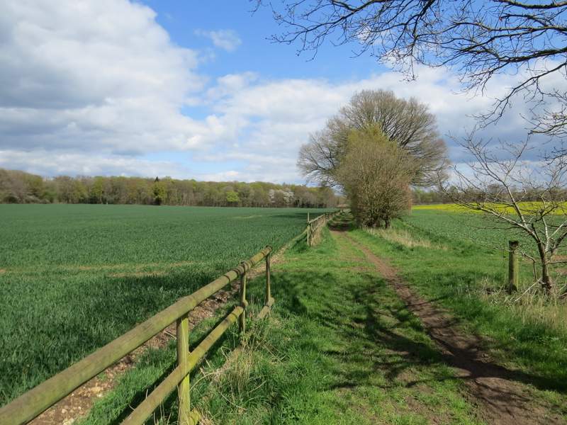
The byway going east from Whitewood Heath
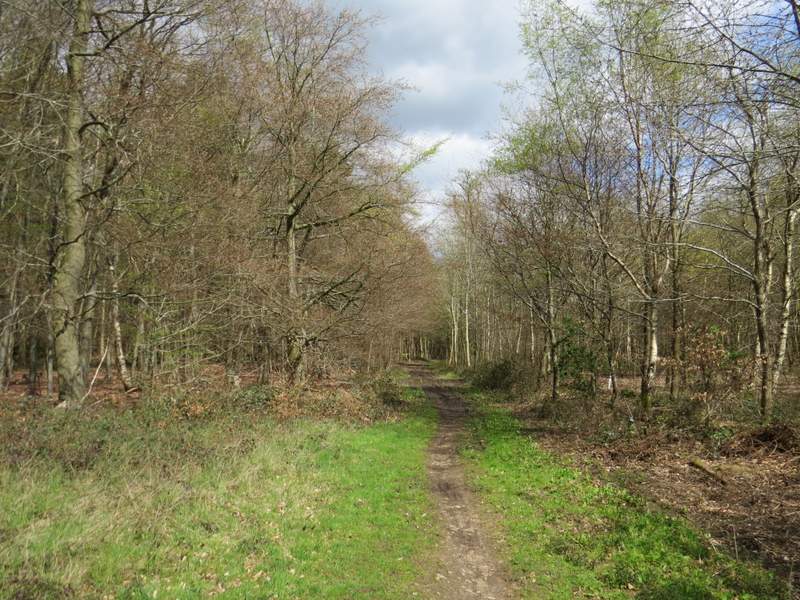
The bridleway through Nippers Grove
The bridleway continuing along the edge of Nippers Grove
The bridleway continuing along the edge of Nippers Grove
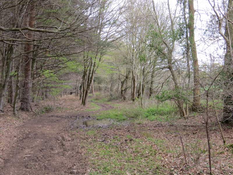
The bridleway continuing after crossing the next lane