Pete's Walks- Circular walk from Amersham Old Town (page 5 of 6)
If you are considering walking this route yourself, please see my disclaimer. You may also like to see these notes about the maps and GPX files.
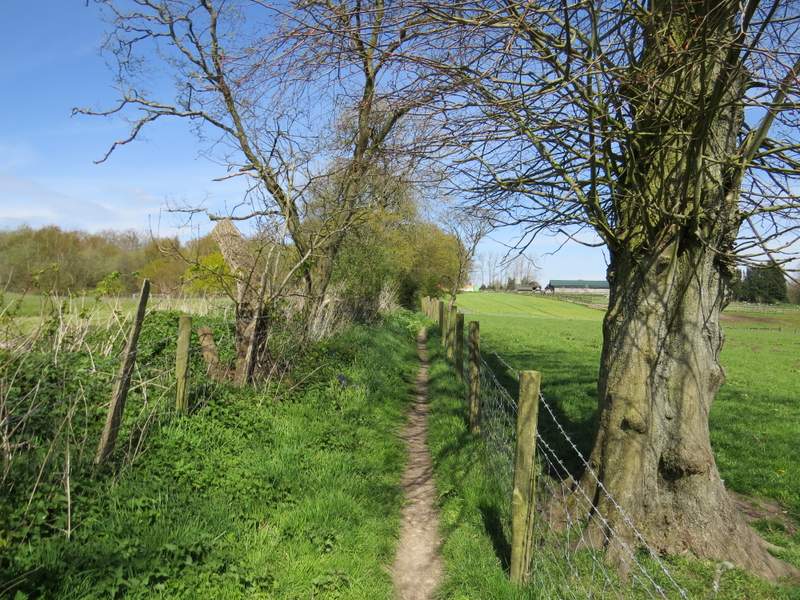
I continued straight on along the bridleway when a footpath went left, then fairly soon after came to a complicated path junction. I took the path going left - the other options were a path going very sharply left, which would have taken me back to the junction I'd just passed, or a path going half-left (or stay on the bridleway). This path continued through the wood (I think somewhere along here it changed from Highfield Grove to Hodgemoor Woods), passing close to a corner of a field on my left at some point, until after about a third of a mile it reached Botterells Lane (which I'd crossed earlier).

The start of the path through Highfield Grove and Hodgemoor Woods
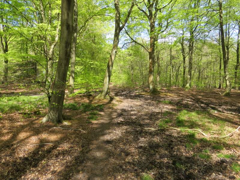
The path through Highfield Grove and Hodgemoor Woods

The path through Highfield Grove and Hodgemoor Woods
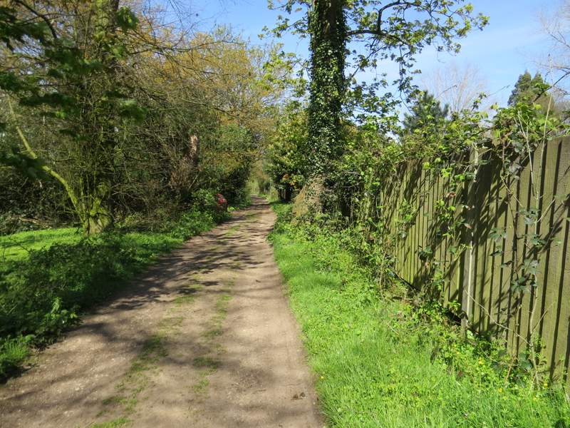
I turned right and followed the lane for about half a mile (the woods are not shown on the map as an 'open access' area, but there were lots of people wandering about admiring the Bluebells, so I'm pretty sure I could have followed paths through the woods instead). But it was perfectly pleasant following the lane, and very quiet - I only saw four cars and about eight cyclists. I had the woods on my left, and a mature hedge on my left.
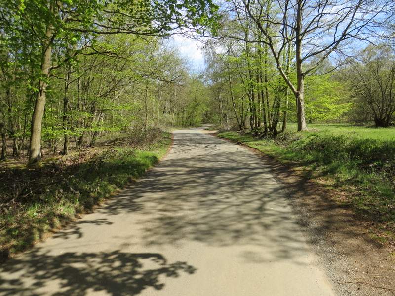
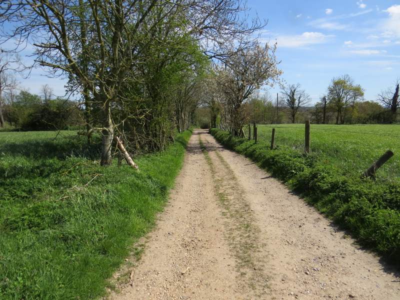
Botterells Lane
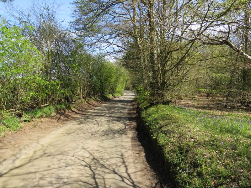
Botterells Lane
Botterells Lane
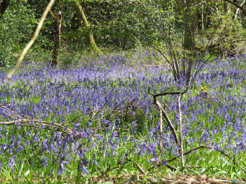
Bluebells in Hodgemoor Woods, beside Botterells Lane
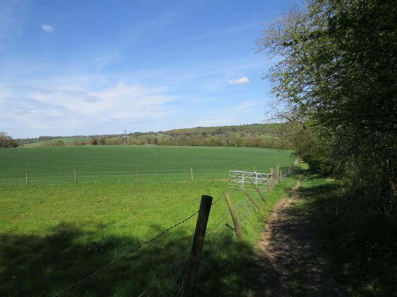
I passed a couple of cottages on the left, and just after the second one I turned left onto a footpath, which took me across part of an arable field to a gate. I turned right here, rejoining the Chiltern Way and the route I'd originally planned to follow, which came in from the left (usually I would go straight on here, on a very pleasant route back to Amersham Old Town, but today I wanted to follow some paths I'd not walked for a few years). The track soon brought me to a bend on Botterells Lane, where I turned left onto a footpath, running between hedges and fences and with pastures or paddocks on my right. There was soon a nice far-reaching view on my right (I did remember this view, unlike the one at Coleshill). A Red Kite flew off suddenly from a tree just in front of me, and I managed to get a photo of it.
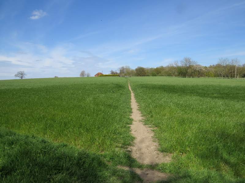
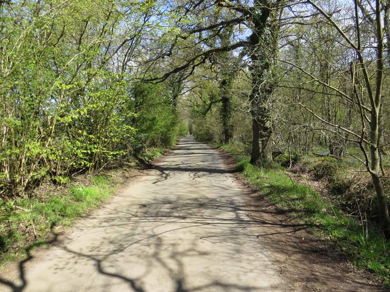
The path from Botterells Lane
The farm track back to Botterells Lane
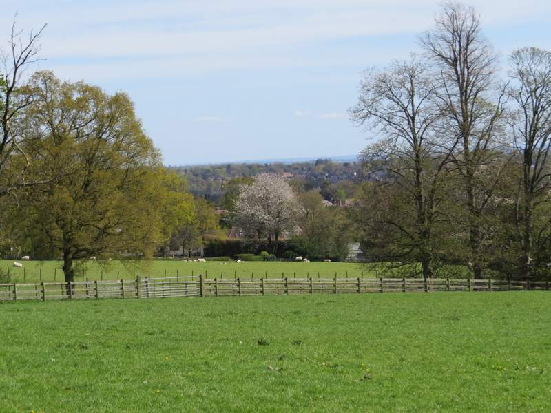
View right from the path from Botterells Lane to the Misbourne Valley
The path from Botterells Lane to the Misbourne Valley
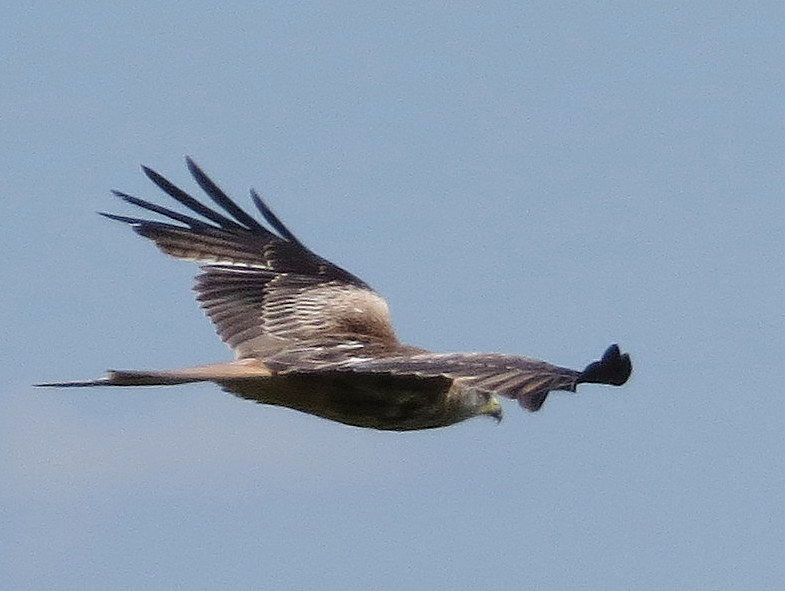
Red Kite - I had several close views of these today
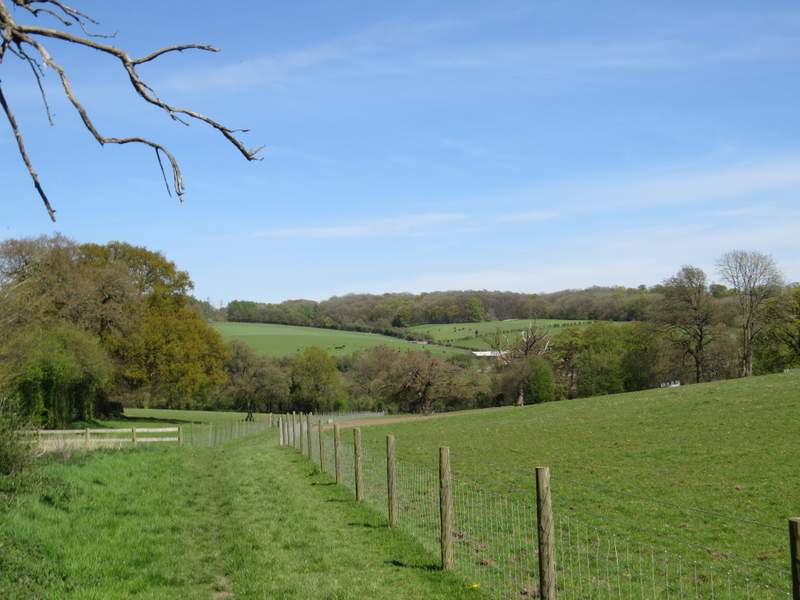
The path continued straight ahead along a track for a short way, then went right for a few yards before turning left to pass very close to a cottage on my right. The path continued between fences and hedges, soon with a view ahead towards the Misbourne Valley, and then ran downhill between more fences (new since I was last here, I think) to reach the footpath that runs along the bottom of the Misbourne Valley.
The path from Botterells Lane to the Misbourne Valley
The path from Botterells Lane to the Misbourne Valley
The path from Botterells Lane to the Misbourne Valley