Pete's Walks- Circular walk from Amersham Old Town (page 6 of 6)
If you are considering walking this route yourself, please see my disclaimer. You may also like to see these notes about the maps and GPX files.
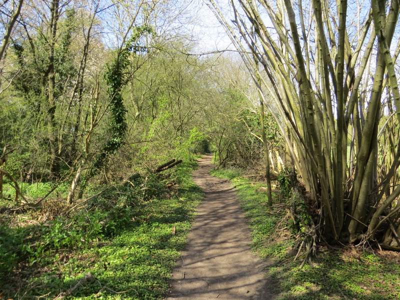
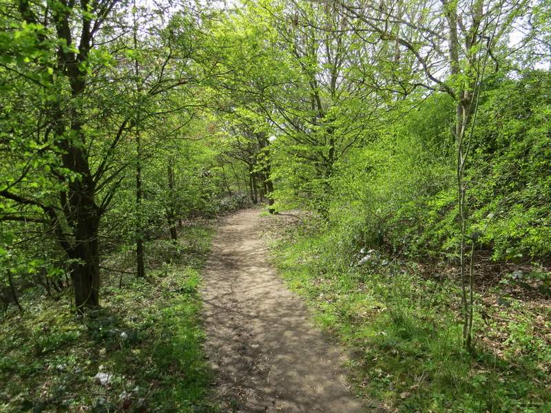
I turned left along the path (the Chiltern Way went right, but I was now on part of the South Bucks Way), following it a short distance through a narrow bit of woodland where there was lots of Lesser Celandine. Beyond the wood, the path continued between widely spaced fences with paddocks either side, and then between a fence on the left and a hedge to reach Bottom House Farm Lane (there's actually a Lower Bottom House Farm, which I could see, and an Upper Bottom House Farm which I pass through on my usual route from Hodgemoor Woods to Amersham Old Town).
The path along the Misbourne Valley
The path along the Misbourne Valley
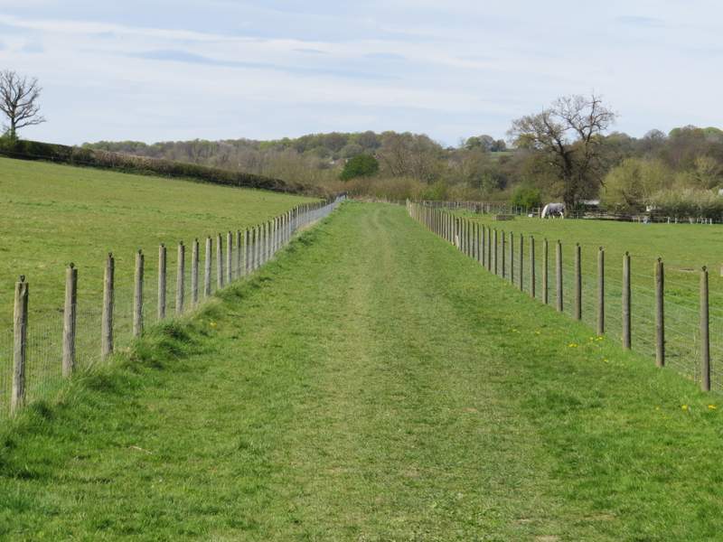
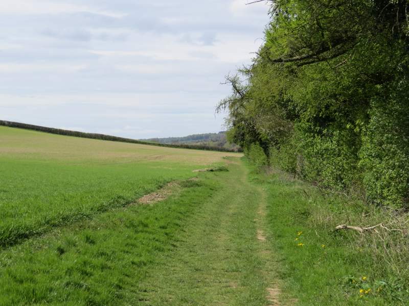
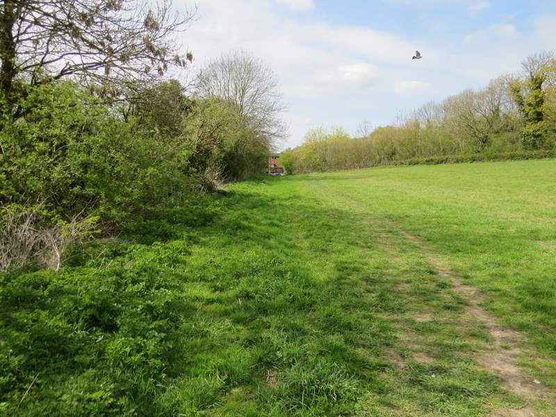
The path along the Misbourne Valley (approaching Bottom House Farm Lane)
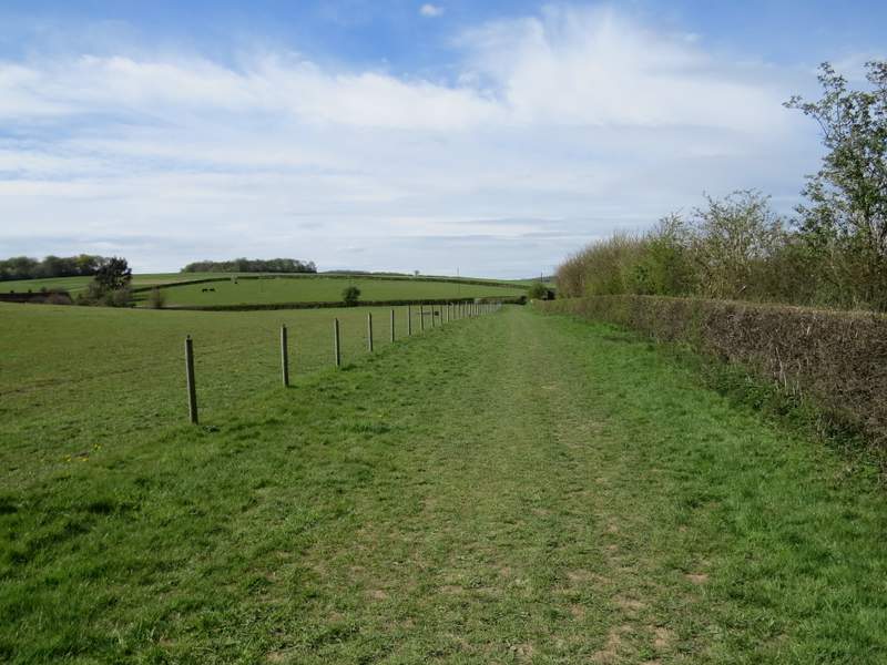
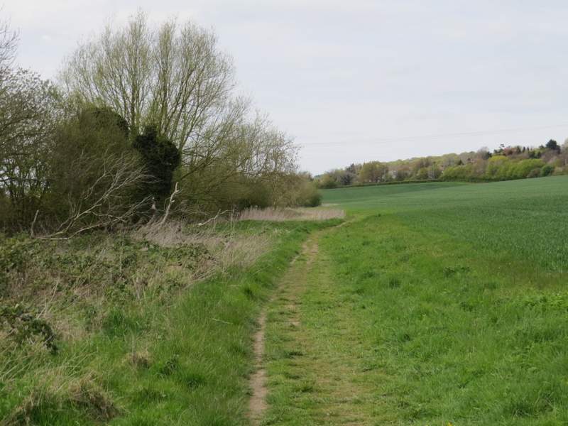
Beyond the lane the path continued along the valley bottom. I briefly had a view of the river Misbourne over to my right, before the path followed a hedge on the right for a few hundred yards. All the time there were arable fields sloping uphill on my left - I could see a couple of woods on top of the hill, which I recognised as Day's Wood and Rodgers Wood, both of which I pass on my usual route back to Amersham Old Town.
The path along the Misbourne Valley
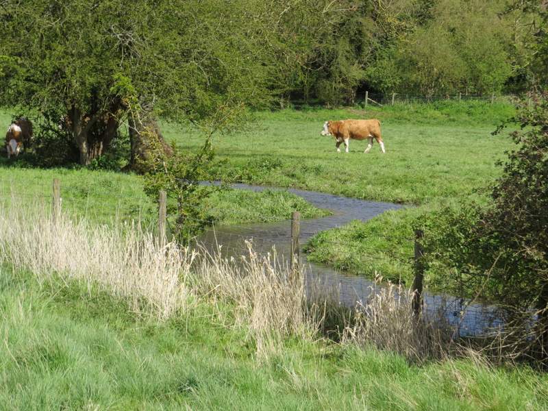
The river Misbourne
The path along the Misbourne Valley
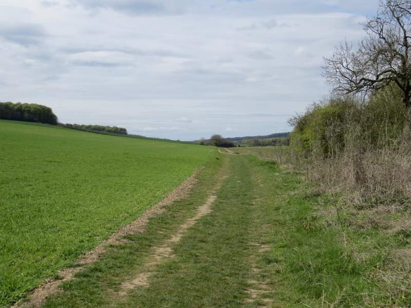
The path along the Misbourne Valley
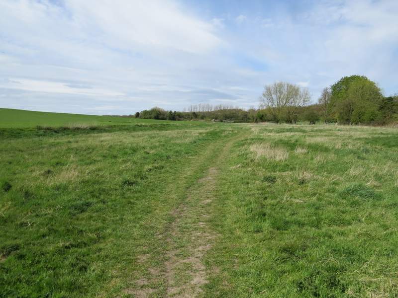
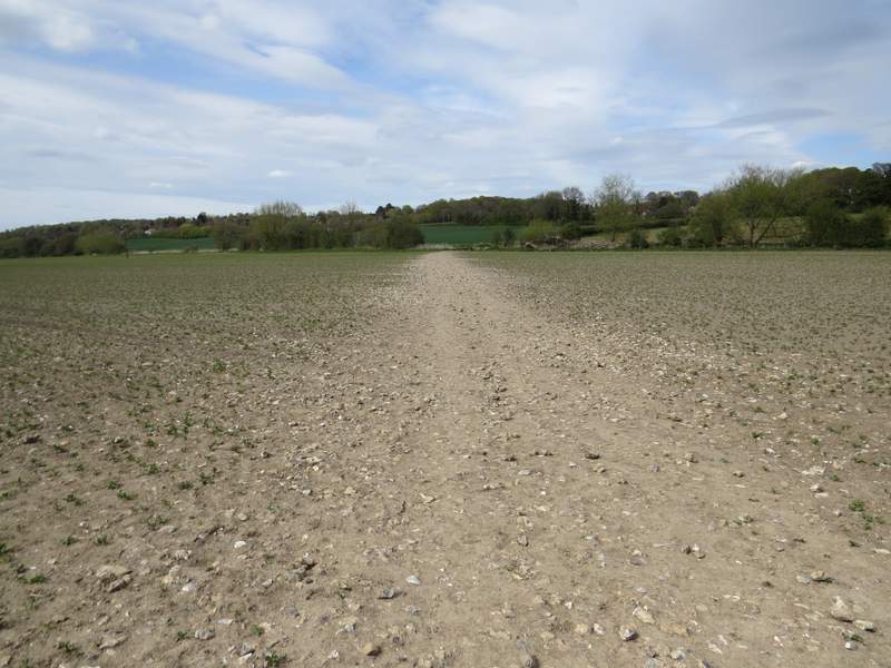
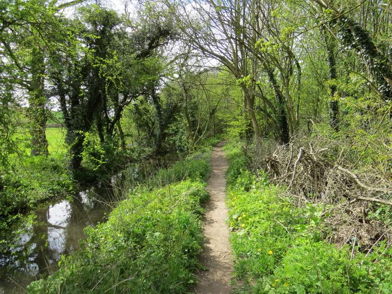
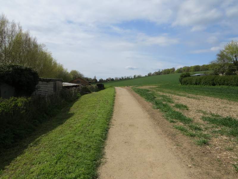
After the hedge on the right ended, the path continued along a track with neither hedges nor fences. Just after a hedge started on the left, I came to a path junction where I took the path going half-right across a ploughed field. On the other side of this field I went over a footbridge across the river Misbourne, then turned left along the edge of another arable field, close to the river on my left. Beyond this field, the path stayed close to the river (I saw a Comma and an Orange-tip butterfly here, apart from them I only saw a few Brimstones, Peacocks and Small Tortoiseshells today) and soon went under a graffiti-daubed road bridge. Finally the path followed the edge of a meadow to reach a road on the edge of Amersham Old Town.
The path after I turned right
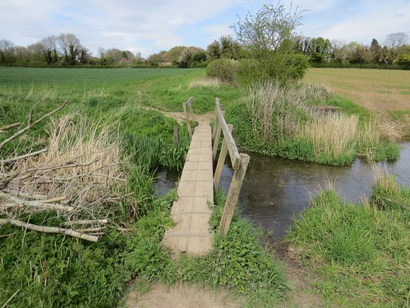
Footbridge over the river Misbourne
The path to Amersham alongside the river Misbourne
The path to Amersham alongside the river Misbourne
The path to Amersham alongside the river Misbourne, after the road bridge
The path approaching the edge of Amersham Old Town
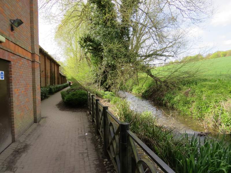
I turned left along the road, then turned right at a roundabout. After maybe a hundred yards I took a footpath on the left, that was soon running close to the tiny river again. I went over a footbridge to reach the back of a Tesco supermarket, where I turned right (with the river now on my right) to return to the car park where I'd started.
The path along the edge of Amersham Old Town
The path behind Tesco's, leading to the car park
This turned out to be a more enjoyable walk than I'd expected. The route I'd intended to follow went up Mop End Lane, with every other path being one that I'd used several times before. But during the walk, I made three or four on the spot decisions to vary the route and try a path I'd not walked before, and this made it much more interesting for me - all the diversions I made were enjoyable, even when I needed to follow Botterell's Lane for half a mile or so. But, to be fair, almost any walk would have been enjoyable on such a glorious Spring day - I hope my photos give a hint at least as to how gorgeous it was out there, with so many shades of bright green in the foliage of the trees, and plenty of wildflowers to add splashes of other colours here and there. On last weekend's walk, I wore my thermal hat throughout and had to pull my coat hood up over it at one point, because the wind was so cold - today I really regretted not taking my sun hat!