Pete's Walks- Stockgrove, The Brickhills, Woburn Sands (page 6 of 6)
If you are considering walking this route yourself, please see my disclaimer. You may also like to see these notes about the maps and GPX files.
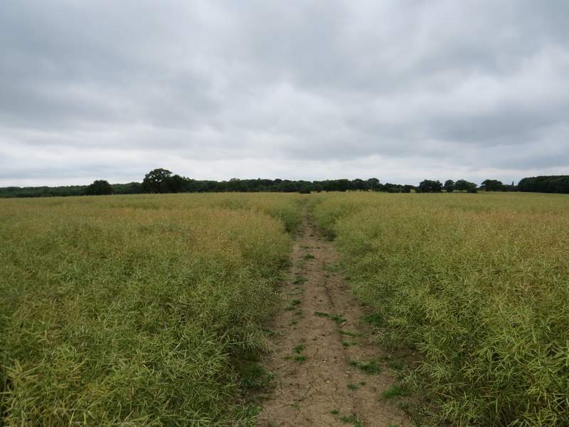
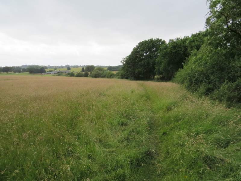
After a junction the path became a bridleway (called Nun's Lane) and I was then on the route of both the Greensand Ridge Walk and the Milton Keynes Boundary Walk. Further on, the wood on my left ended, but Nun Wood continued on my right. the broad path occasionally muddy, continued for about another half a mile until it reached a minor road (between the A5, near Heath and Reach, and Woburn - I sometimes come this way on my weekly commute to Huntingdon).
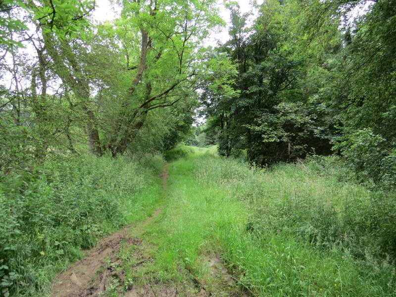
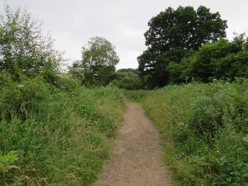
The path here is now Nun's Lane, with Nun's Wood on the right
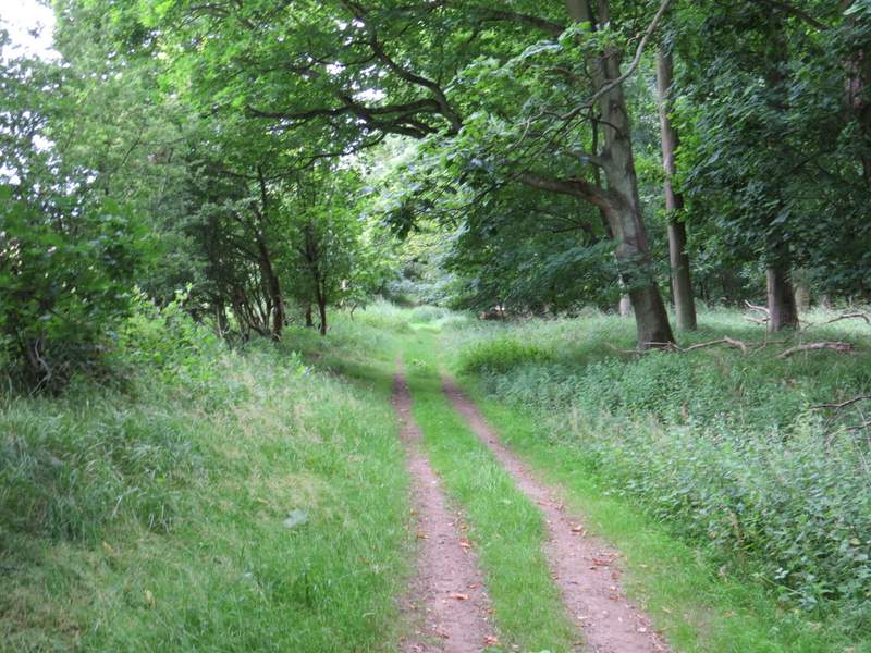
The path here is now Nun's Lane, with Nun's Wood on the right
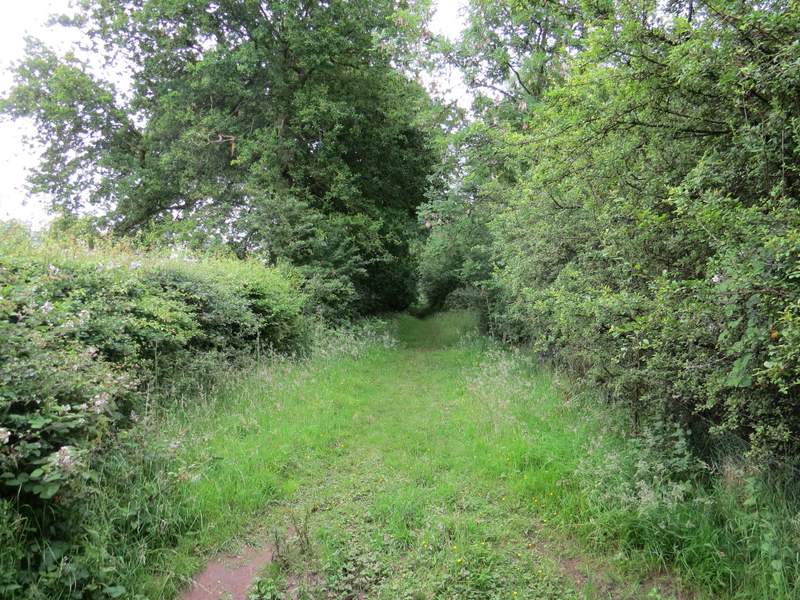
The path here is now Nun's Lane, with Nun's Wood on the right
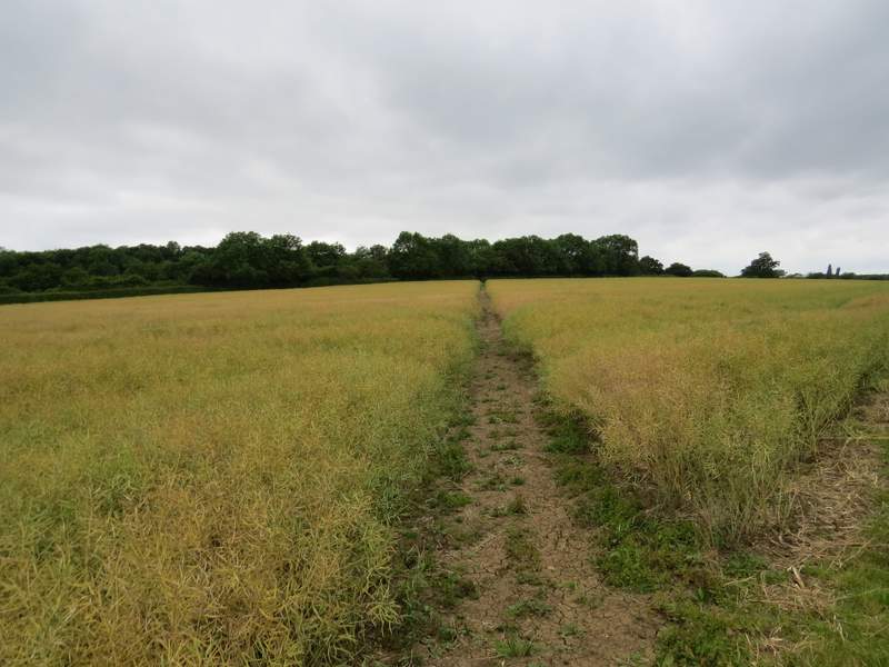
I turned right along the road for two or three hundred yards. Just before a tree in the hedge on my right, I turned right through a gap in the hedge and continued across a path through a large field of oil-seed rape. The path then crossed a second similar field to reach the A5 (about a mile southeast of where I'd crossed it earlier).
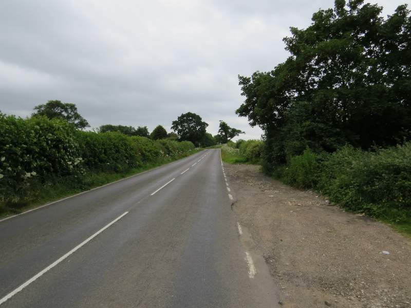
The short road walk at the end of Nun's Lane
The first field of oil-seed rape, on the way to the A5
The second field of oil-seed rape, on the way to the A5
Having carefully crossed the A5, I followed a path that went up a steep flight of steps and continued through an overgrown meadow (where I spotted two or three Common Spotted Orchids). The path then went along a narrow side of an empty pasture. Over a stile in the corner of this field, I turned right along the edge of a huge pasture, following the hedgerow on my right towards Rammamere Farm. As I finally reached the corner of this field near the farm, I saw a couple of cows, with many more through an open gate on my right. The path then continued through a paddock with a few horse in it. In the next field the path goes diagonally across half-left, but I actually went straight on and then left as it was overgrown with thistles.
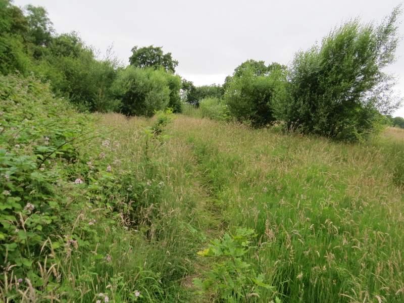
The overgrown meadow on the other side of the A5
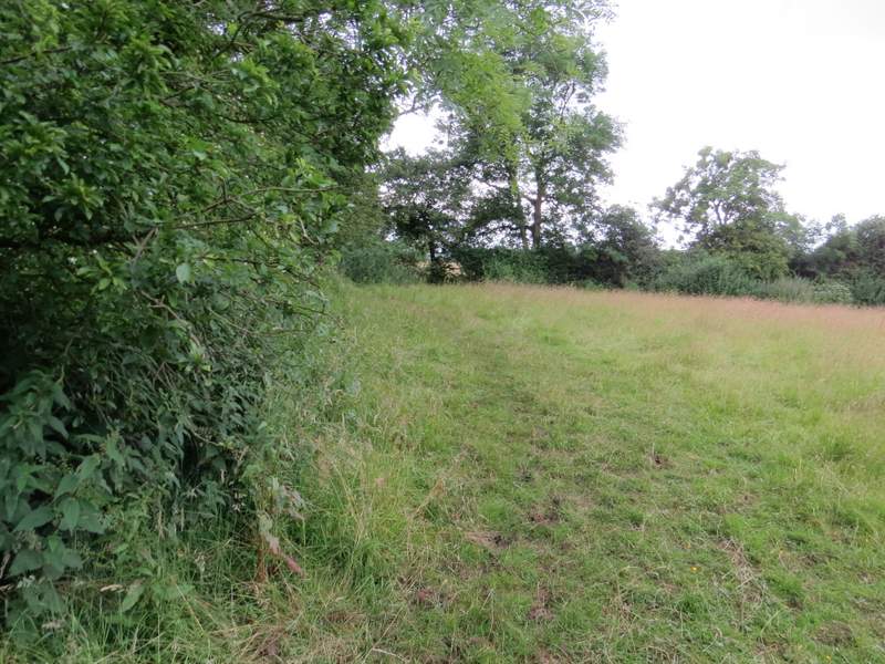
The narrow pasture
The huge pasture, with the path heading to Rammamere Farm
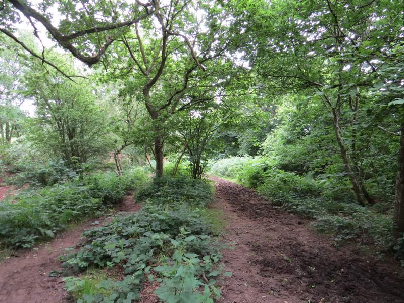
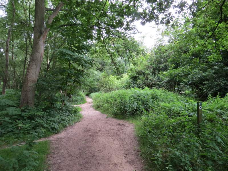
I went through a gate and continued along a bridleway through Rammamere Heath - I noticed a small cave in the sandstone to my left, which I couldn't remember seeing before. I went straight on where a path went left, then after another quarter of a mile or so I went right at a junction for a few yards before turning left onto a path through bracken. This path was quite overgrown for a bit, but gradually became clearer. When it left the woods of the heath, it continued through a grassy area (I saw a Marbled White butterfly here) to reach a road, with the car park where I'd started on the other side.
The bridleway from Rammamere Farm
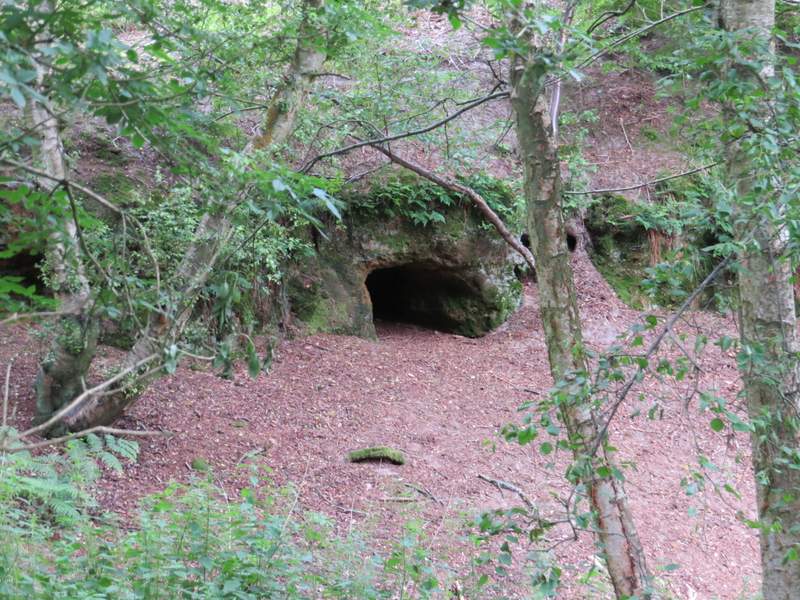
A cave in the green sandstone, seen from the bridleway from Rammamere Farm
The bridleway from Rammamere Farm
The bridleway from Rammamere Farm
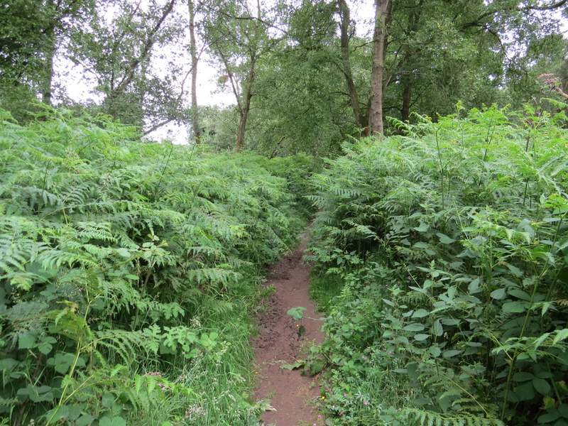
A less overgrown stretch of the path through Rammamere Heath
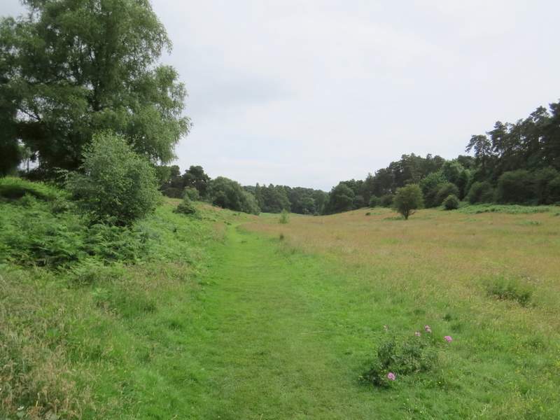
The path continuing back to the road and the car park for Stockgrove Country Park
It's such a shame, this would have been a really nice walk if I hadn't had so many navigational issues. It's a route I've always enjoyed in the past, and it certainly made a change walking on sandstone rather than the chalk of the Chilterns. I'm sure I'll do it again, but I don't think I could recommend it to anyone else - between Little Brickhill and Woburn Sands, there are too many paths and junctions that aren't on the OS map, and far too few signs or waymarks.