Pete's Walks- Stockgrove, The Brickhills, Woburn Sands (page 5 of 6)
If you are considering walking this route yourself, please see my disclaimer. You may also like to see these notes about the maps and GPX files.
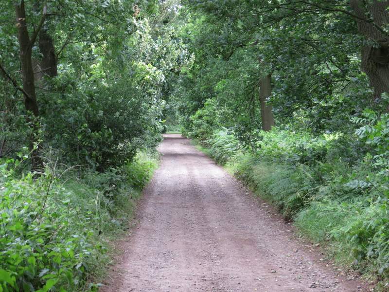
At the top of the slope the path merged with another one coming in from the left. I continued ahead through the woods until I reached a path crossroads. Here I thought the path going right looked like the one I wanted to take, but the OS map told me I needed to take the second path on the right - I couldn't remember seeing another path junction, so with some misgivings I continued straight on. After a while as I continued through what was now mainly coniferous woods, I realised I should have gone right as I didn't recognise anything along the path I was on. But I continued anyway, until I reached a wide bridleway that crossed the path, where I turned right. Somewhere after this bridleway curved slightly left, the path I should have been on if I'd turned right at the correct junction came in on my right. Just after crossing a footpath, the bridleway reached the byway I'd been on when I left Woburn Sands, and I turned left here and followed the byway until it ended at a road junction.
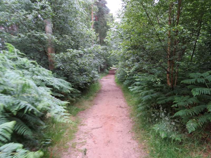
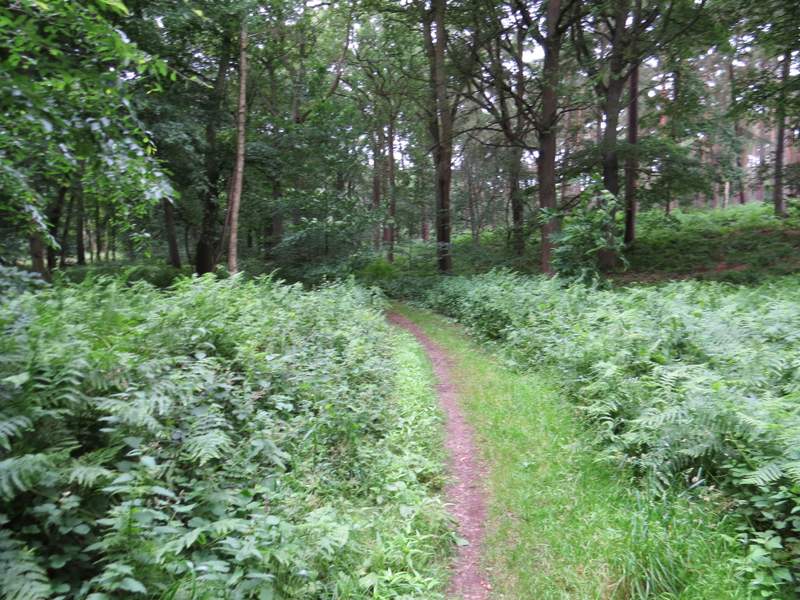
Further along the path, after it merged with a path coming in on my left
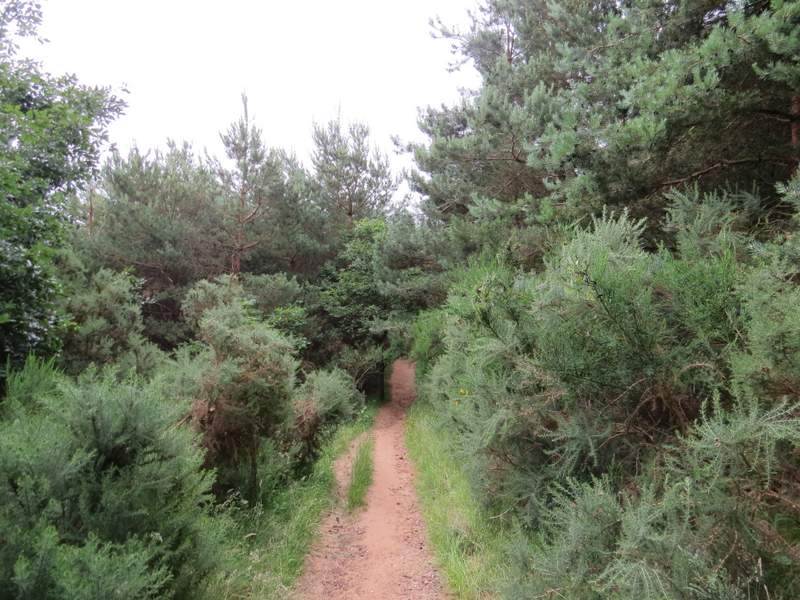
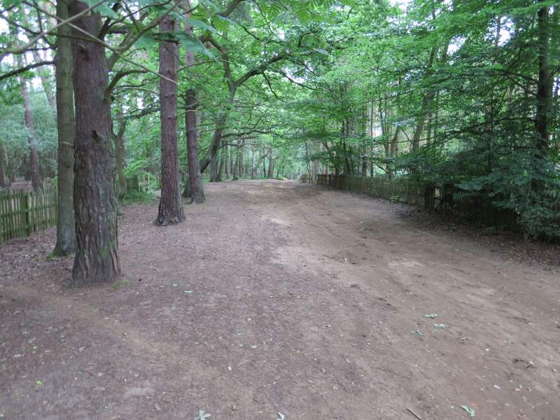
The path after I missed the turning I should have taken on the right
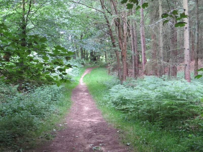
The path after I missed the turning I should have taken on the right
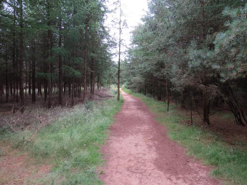
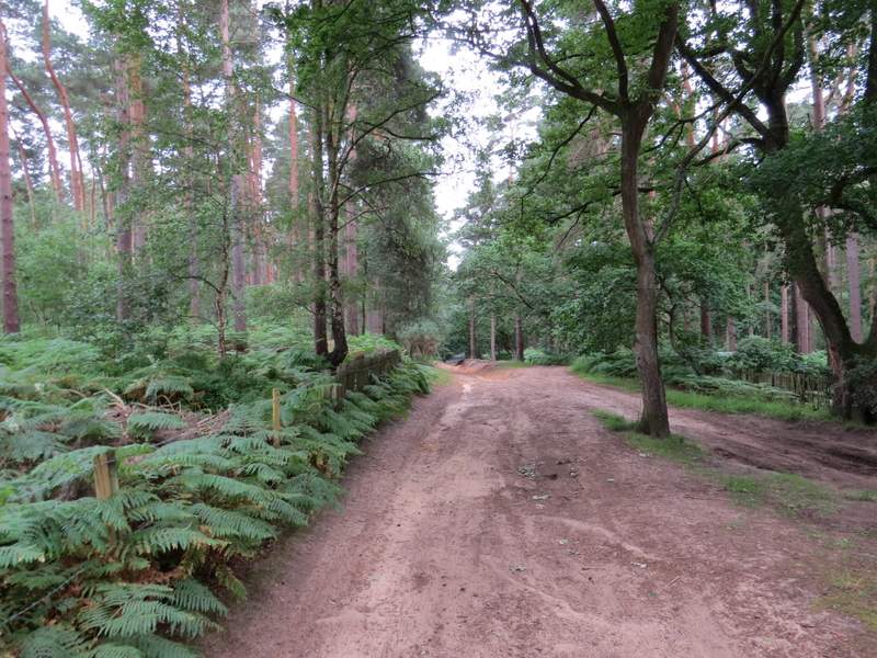
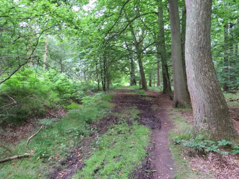
The bridleway after I turned right
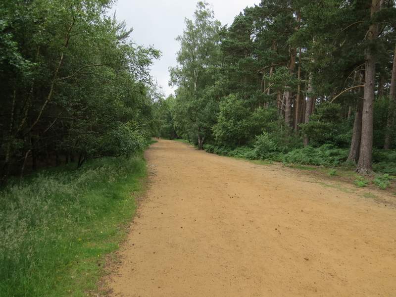
The byway after I turned left (the continuation of the byway I'd been on coming out of Woburn Sands)
The byway, just before it reached the road
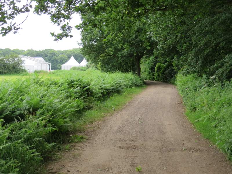
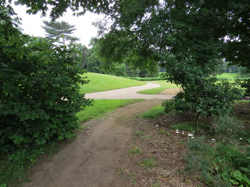
I turned left along the road for a hundred yards or so, then took a footpath on the right. This rose up a gentle slope, with a large grass area over the fence on my left and more woodland on my right. At the top of the slope I turned left along a track through part of Woburn Golf Club - there were a lot of temporary structures being erected here, presumably for the Women' British Open which is being played here in a few weeks time. After a third of a mile a sign indicated where the footpath turned right, following a sandy path that initially ran parallel to a surfaced path just to my left. The path then ran through bracken and trees for just a few yards, before turning right along a track, dropping slightly downhill through trees. Before reaching the bottom of this slight slope, the path went left from the track, soon crossing another track and following the bottom of a slight dip through woods until it reached another road.
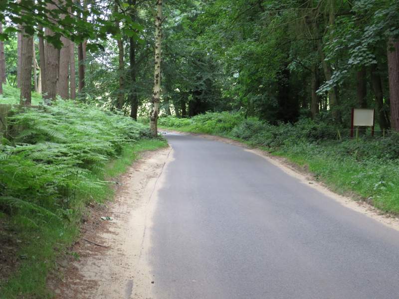
The very short road section after I turned left at the end of the byway
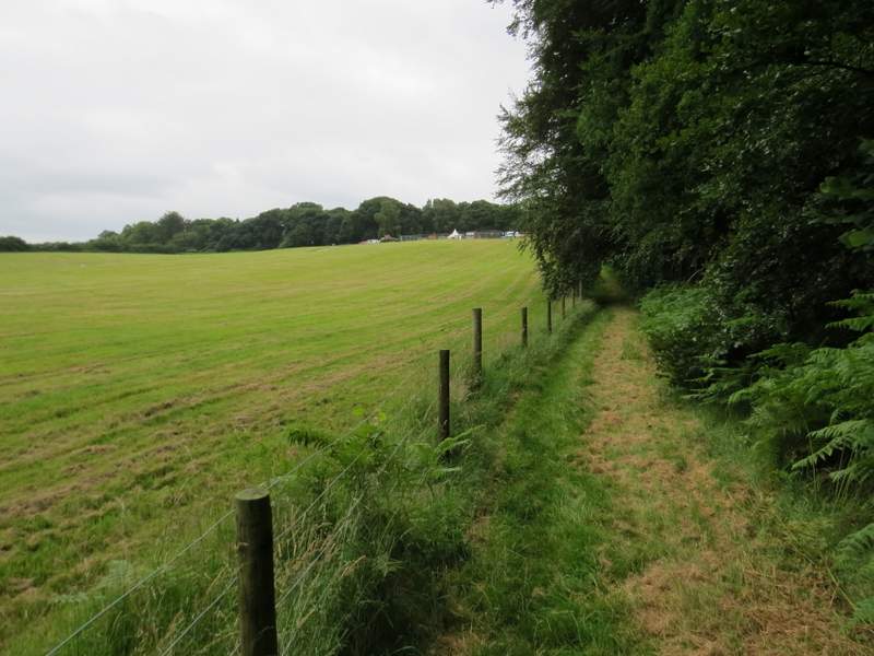
The path after I turned right from the road

The path through Woburn Golf Course - I think the temporary buildings were being put up in preparation for the Women's British Open (being staged here 28th-31st July)
The path through Woburn Golf Course
The path through Woburn Golf Course
The path through Woburn Golf Course, from where I turned right
The path through Woburn Golf Course
The path after I turned left from Woburn Golf Course
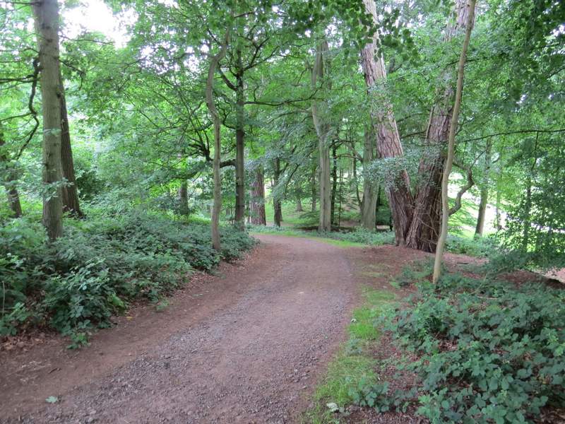
Across the road, I went a few yards right then took a path forking slightly left from the road. It soon turned left (there were several signs here) and continued through more woods - the OS map marks Lowe's Wood to the left and Buttermilk Wood (which I'd passed through earlier) to the right.
The path on the other side of the road, in Lowes Wood or Buttermilk Wood
The path on the other side of the road, in Lowes Wood or Buttermilk Wood