Pete's Walks- Stockgrove, The Brickhills, Woburn Sands (page 4 of 6)
If you are considering walking this route yourself, please see my disclaimer. You may also like to see these notes about the maps and GPX files.
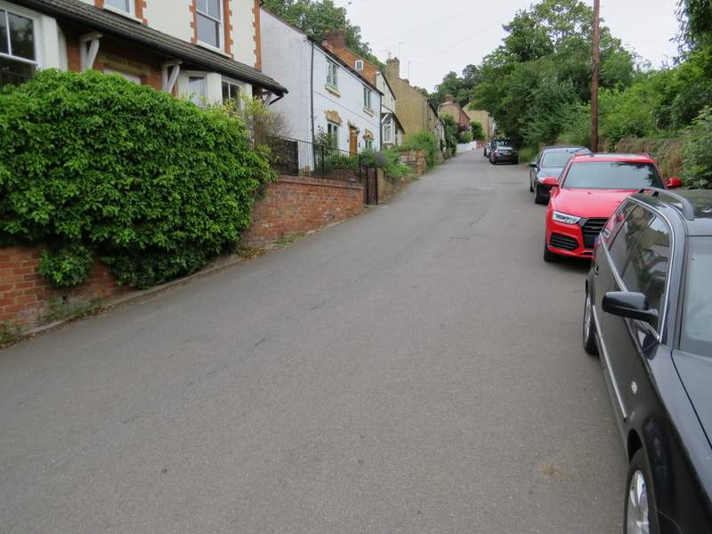
At the end of the track or lane, I turned right along a village street that headed steeply uphill (this was the toughest bit of uphill on the route). Just after the street left the village, I turned half-left onto a footpath which began immediately AFTER some wooden railings where a bridleway started (the fingerpost for the path was a little misleading). The path soon crossed a track or path (I felt I should have gone left here, but there were no waymarks) and then entered an area where trees had been planted (in plastic tubing). I was a little concerned as I didn't remember this, but the path soon turned left and re-entered the woods. I felt I should have turned right, there was a vague path or track crossing here, but there was a clear path ahead of me with a 'public footpath' waymark on a post a few yards along it. But after maybe another hundred yards I came to a path crossroads where all three options went downhill, which I knew was wrong. Looking along the path going right, there was a steep but short drop down then a similarly short steep climb, to an area that I thought I recognised. Sure enough, there was a clear path when I got there, where I turned left (so my instinct to turn right earlier had been correct, and the waymark was on the wrong path!).
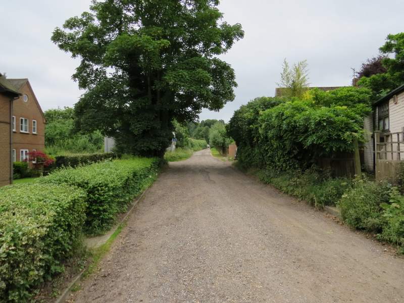
Bow Brickhill
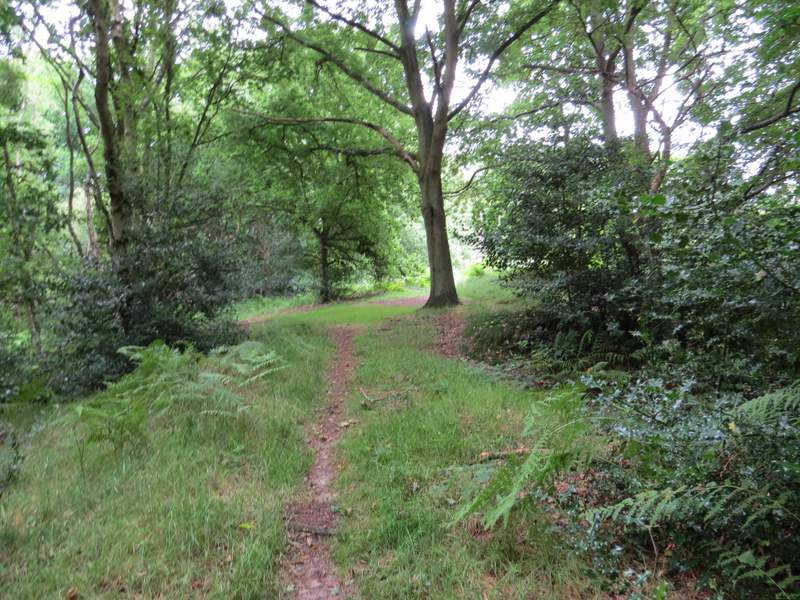
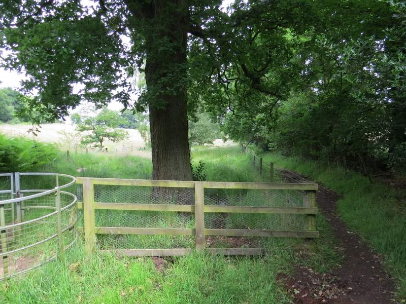
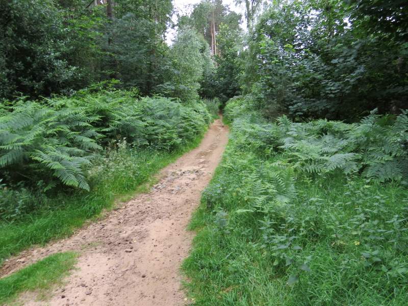
Near the start of the footpath from Bow Brickhill
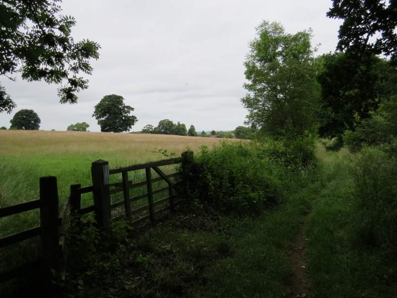
The footpath from Bow Brickhill (this is from where I got back on to the right path, having been misled by an incorrect waymark)
Back on a path I recognised, I continued through the woods of Bow Brickhill Park for several hundred yards. When I reached a crossroads, I took the path going left which immediately bent right so it was almost straight on. When I came to some wooden railings where a wide path came in on the right, I thought I remembered this spot and needed to go right, a little uphill. When I then came to a crossing path and turned left (I guess I could have got here by going straight on at the previous path crossroads), I saw another public footpath waymark pointing along the path so I thought I must have gone the correct way. But no, that waymark was wrong as well! I came to another path crossroads where the path ahead started to go downhill into a valley, which I knew was wrong (the OS map shows the path is fairly level, close to a downhill slope to my left. So I took the path going half-left, and then went right when it came to a T-junction. When this path ended at a sort of staggered crossroads of paths I was quite concerned about my whereabouts, but then I recognised where I was. More or less ahead of me, a path went down what looked like a 'sunken lane', but just to its right another parallel path (very sandy) started through an area of bracken - that was the path I wanted to be on, but I should have got here along the path coming in on my left! So I think I should have gone straight on at the wooden railings, and turned right a little later on by some other railings. Anyway, I now followed the sandy path through the bracken, which descended slightly. The path was not only very sandy, in places it showed the green sandstone (many local churches and other buildings are built of it).
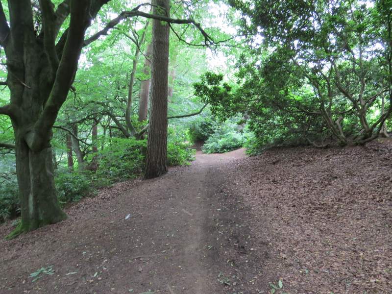
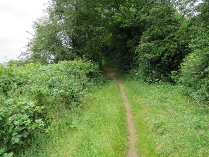
The path from Bow Brickhill
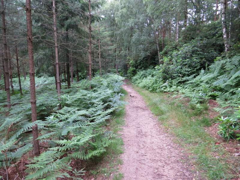
The path from Bow Brickhill
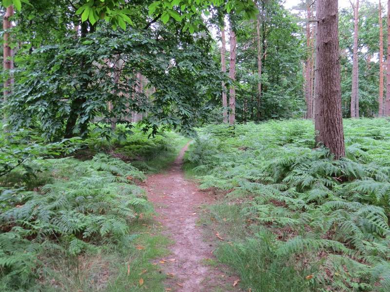
The path from Bow Brickhill - this is in the section where I went wrong, I think this is by the second 'wrong' waymark I came across
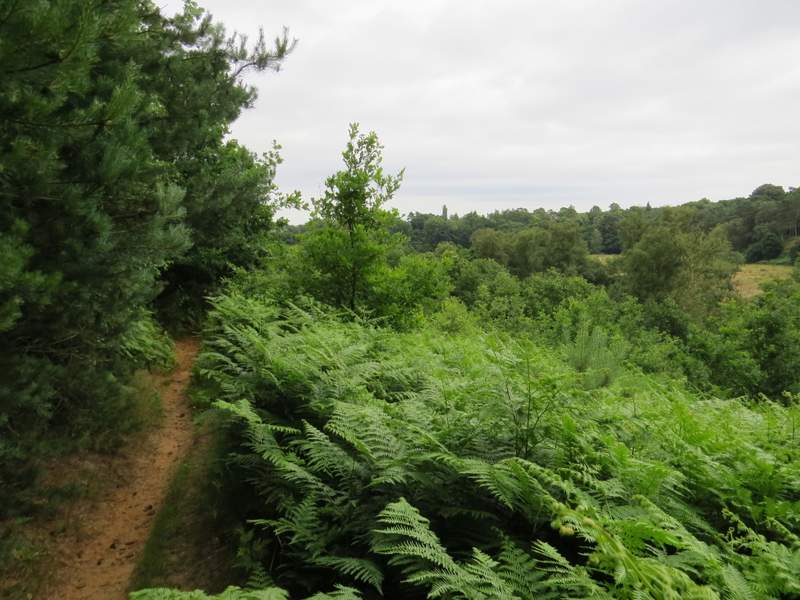
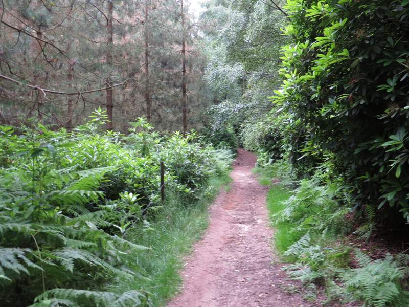
The path from Bow Brickhill - this is the section through the bracken, parallel to a path in a 'sunken lane'
o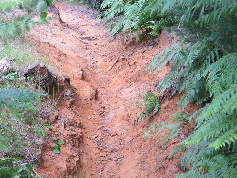
This is a close-up of the path (looking back), showing the green sandstone
Sadly, having only just managed to fortuitously return to my desired route, I now straight away took the earliest possible opportunity to go wrong again! I knew I needed to take a short path going right (actually an alternative is just to go straight on, but that involves a slightly longer road walk through Woburn Sands), so not unreasonably took the first path on the right (the OS map only shows one path here). In fact I obviously needed to go on a little further before turning right - I soon realised I wasn't on the path I expected, but I rectified my mistake by turning left at a vague path junction (after going a few yards left there was a waymark, where I kept left) and following this path to a junction where the path I should have taken came in on the left. I then went straight on, with the meadows of Edgewick Farm to my left, and followed the path until it brought me to a road in Woburn Sands (Hardwick Road).
The path into Woburn Sands
The path into Woburn Sands
The path into Woburn Sands
I turned right and followed the road to its end at a roundabout, where I turned right and immediately turned right again at a second roundabout, into Church Road. I very soon forked left along a track (it's actually a byway, according to the OS map). Just after the byway left the village I stopped at a bench by a path junction to eat my packed lunch (it was now about 1.10pm). I then took the rightmost of two paths going left here, which led uphill into Old Wavendon Heath - again the path was sandy and the underlying green sandstone was exposed in places.
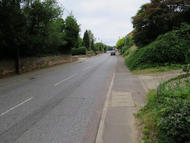
The road into Woburn Sands
The track from Church Road, Woburn Sands
The path going left from the track
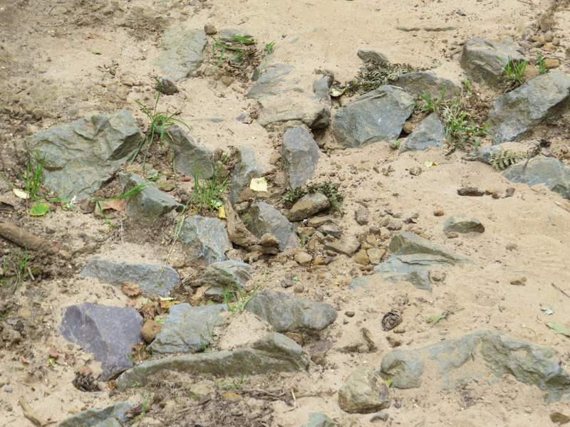
Another path close-up showing the green sandstone (a change from the chalk or clay I'm used to walking on!)